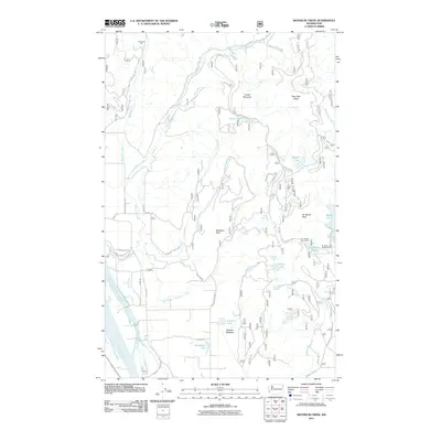
2011 Map of Skookum Creek
USGS Topo · Published 2011About this map
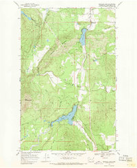
The Pend Oreille River flows along the western edge of this terrain, where modern developments like Pondoray Shores Rd meet the upland wilderness of the Colville National Forest area. The landscape is defined by the convergence of the North Fork Skookum Creek and South Fork Skookum Creek, creating a complex drainage system that supports high-elevation features like Conklin Meadow and Cooks Lake. Industrial and recreational footprints are evident through the Hermann Pit in the north and the No Name Lake Campground to the east near Bead Lake. This 2011 survey captures the area’s identity as a hub for both resource extraction and outdoor recreation, with numerous forest service roads like Skookum Creek Rd and Bear Paw Rd providing access to the peaks and ridges.
Find a feature on this map
42 named features on this map. Tap any name to fly to it.
Don’t see what you’re looking for? This feature index may not catch every label — zoom into the map to look around manually.
Map Details
Editions of this 2011 Skookum Creek Map
This is the sole edition of this map. No revisions or reprints were ever made.
Other maps of this area

1936 · Newport
USGS Topo · 1:96,000

1942 · Newport
USGS Topo · 1:125,000

1958 · Sandpoint
USGS Topo · 1:250,000

1963 · Sandpoint
USGS Topo · 1:250,000

1968 · Cusick
USGS Topo · 1:24,000
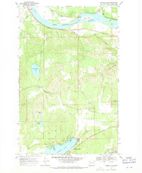
1968 · Diamond Lake
USGS Topo · 1:24,000
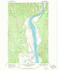
1968 · Jared
USGS Topo · 1:24,000
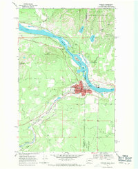
1968 · Newport
USGS Topo · 1:24,000
1968 · Sacheen Lake
USGS Topo · 1:24,000
1968 · Galena Point
USGS Topo · 1:24,000