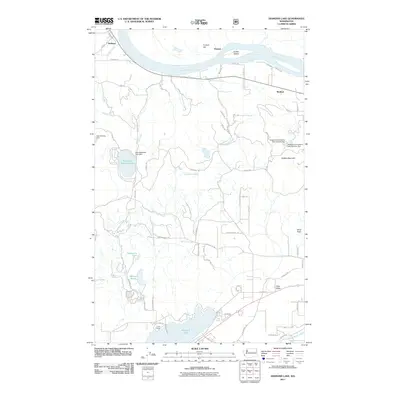
2011 Map of Diamond Lake
USGS Topo · Published 2011About this map
Pend Oreille River flows across the northern edge of this territory, shaping the geography of small settlements like Dalkena, Furport, and Wolfred. This corner of Washington is defined by its complex hydrography, ranging from the large recreational waters of Diamond Lake and Camp Cowles in the south to smaller, tucked-away features like Mountain Meadows Lake and Mallard Marsh. The landscape is a network of ridges and basins, punctuated by landmarks such as Saddle Mountain and Furport Hill.
Find a feature on this map
70 named features on this map. Tap any name to fly to it.
Don’t see what you’re looking for? This feature index may not catch every label — zoom into the map to look around manually.
Map Details
Editions of this 2011 Diamond Lake Map
This is the sole edition of this map. No revisions or reprints were ever made.
Other maps of this area

1936 · Newport
USGS Topo · 1:96,000

1942 · Newport
USGS Topo · 1:125,000

1958 · Sandpoint
USGS Topo · 1:250,000

1963 · Sandpoint
USGS Topo · 1:250,000

1968 · Cusick
USGS Topo · 1:24,000
1968 · Camden
USGS Topo · 1:24,000
1968 · Diamond Lake
USGS Topo · 1:24,000
1968 · Newport
USGS Topo · 1:24,000
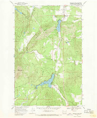
1968 · Sacheen Lake
USGS Topo · 1:24,000
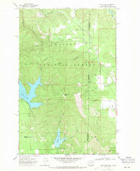
1968 · Bead Lake
USGS Topo · 1:24,000