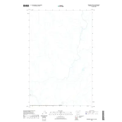
2020 Map of Boundary Dam OE N
USGS Topo · Published 2020About this map
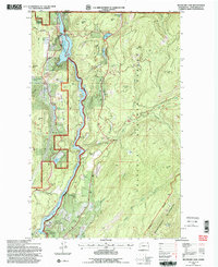
This mountainous expanse near the international border is defined by a complex network of streams and drainages flowing through the high country. Situated just north of the United States, the terrain is dominated by the natural hydrography that feeds into the regional valley systems. The primary marker on this landscape is the international boundary of Canada, which delineates the northern edge of the survey area. Researchers can observe the intricate patterns of natural water flow across the topography, illustrating the watershed's character before it reaches more developed settlements to the south. This 2020 dataset reflects the modern state of the wilderness, focused on the physical geography of the British Columbia interior.
Find a feature on this map
1 named feature on this map. Tap any name to fly to it.
Don’t see what you’re looking for? This feature index may not catch every label — zoom into the map to look around manually.
Map Details
Editions of this 2020 Boundary Dam OE N Map
This is the sole edition of this map. No revisions or reprints were ever made.
Other maps of this area

1934 · Metaline
USGS Topo · 1:125,000

1942 · Metaline
USGS Topo · 1:125,000

1958 · Sandpoint
USGS Topo · 1:250,000

1963 · Sandpoint
USGS Topo · 1:250,000

1967 · Gypsy Peak
USGS Topo · 1:24,000

1967 · Boundary Dam
USGS Topo · 1:24,000
1967 · Abercrombie Mtn
USGS Topo · 1:24,000
1984 · Colville
USGS Topo · 1:100,000
1992 · Gypsy Peak
USGS Topo · 1:24,000
1992 · Boundary Dam
USGS Topo · 1:24,000