Old Maps of Stanwood, Washington for Academic Research
Study the evolution of Stanwood with 26 high-resolution historic maps. Whether you're teaching, researching, or modeling changes in land use, these maps provide essential visual documentation of urban, environmental, and geographic change.
- Analyze long-term change: Track patterns in development, transportation, and natural features.
- Ideal for environmental or urban studies: Support academic projects with primary historical map data.
- Use in the classroom or lab: Educators and researchers rely on these maps to bring historical context to life.
These maps are a powerful tool for teaching, research, and visualizing how Stanwood has changed over the decades.
Stanwood, WA maps
(26)- 1911 Map of Mount Vernon
 1911 Mount Vernon1911 Print · USGSSkagit and Snohomish counties are shown here just after the turn of the century as the railroad and river networks fueled rapid growth. Researchers can trace historic transportation routes like the Anderson Ferry and the Monte Cristo RR through Mount Vernon and the Tulalip Indian Reservation.4 unique versions available
 - 1940 Map of Mt Vernon, 1957 Print
 1940 Mt Vernon1957 Print · USGSThe Skagit River delta and its thriving rail-and-river towns are captured here just before the mid-century. Genealogists can trace family roots through numerous country schools like Harmony Sch and landmarks like the Milltown Ch or the timber-hauling Logging Railroad.2 unique versions available
 - 1943 Map of Mt Vernon
 1943 Mt Vernon1943 Print · USGSSkagit County during the early years of the war reveals a complex network of river deltas and rail-dependent settlements. Researchers can trace the heritage of rural communities through labels for Skagit City, the Ridgeway Sch, and the Great Northern railroad.2 unique versions available
 - 1943 Map of Stanwood
 1943 Stanwood1943 Print · USGSThe Puget Sound shoreline comes alive in the early 1940s, showing the intricate waterways and settlements surrounding the Stillaguamish River delta. Genealogists and local historians can trace schoolhouse locations like School No 203 or coastal communities such as Langley and Mabana.2 unique versions available
 - 1956 Map of Stanwood, 1957 Print
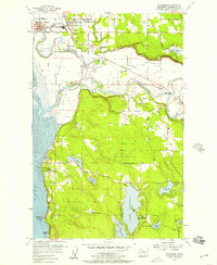 1956 Stanwood1957 Print · USGSCoastal Snohomish County comes alive in the mid-fifties, showing the river-and-slough landscape at the edge of Port Susan. Genealogists and local historians can trace school sites like Twin City High Sch and lakeside landmarks like Camp Killoqua.5 unique versions available
 - 1956 Map of Juniper Beach, 1957 Print
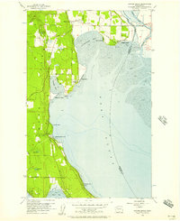 1956 Juniper Beach1957 Print · USGSCamano Island in the mid-fifties is captured here as a quiet blend of agricultural roots and new coastal retreats along the Sound. Researchers can locate early family landmarks like the Pioneer Cemetery and Grange Hall, or trace the development of Juniper Beach and Terrys Corner.4 unique versions available
 - 1956 Map of Conway, 1958 Print
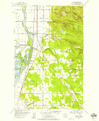 1956 Conway1958 Print · USGSThe Skagit River delta and the Snohomish county line appear here in the mid-fifties, showing a landscape of fertile river islands and timbered hills. Genealogists and researchers can trace the Great Northern rail line through Conway and Milltown, or locate family sites near Freeborn Church and the Cedarhome settlement.4 unique versions available
 - 1957 Map of Victoria, 1960 Print
 1957 Victoria1960 Print · USGSThe San Juan Islands and the North Cascades coastline are shown in detail during the late fifties, a period of significant military and industrial presence. Researchers can trace historic rail lines like the Great Northern or locate sites such as the Whidbey Island Naval Air Sta and Friday Harbor.4 unique versions available
 - 1975 Map of Port Townsend, 1977 Print
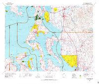 1975 Port Townsend1977 Print · USGSThe northern Puget Sound in the mid-seventies shows a landscape of military readiness and maritime industry. Researchers can trace the extensive Whidbey Island Naval Air Station or locate historic coastal defenses at Fort Casey Military Res and Fort Ebey Military Res.
 - 1993 Map of Port Townsend
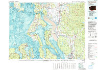 1993 Port Townsend1993 Print · USGSThe Puget Sound and Whidbey Island are captured in the early nineties, showing a landscape defined by naval aviation and maritime trade. Genealogists and local historians can trace the development of Oak Harbor and Coupeville or locate family sites near the Arlington Municipal Cemetery and Ault Field.
 - 1998 Map of Conway, 2003 Print
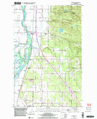 1998 Conway2003 Print · USGSThe Skagit River delta and Snohomish County line are captured here in the late 1990s as agriculture and industry meet the foothills. Researchers can trace the intricate network of Steamboat Slough, locate the Conway Sch, or find family sites near Milltown and Freeborn Church.
 - 2011 Map of Stanwood, 2011 Print
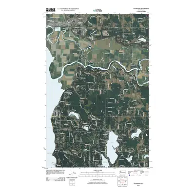 2011 Stanwood2011 Print · USGSThe Snohomish County lowlands and Stillaguamish River valley come into focus during this early twenty-first-century survey. Genealogists and local historians can trace the foundations of Stanwood, Silvana, and Florence alongside landmarks like Pleasant View Cemetery and Stillaguamish Grange.
 - 2011 Map of Juniper Beach, 2011 Print
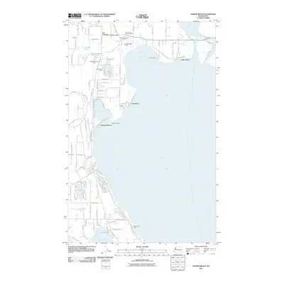 2011 Juniper Beach2011 Print · USGSCamano Island's eastern shoreline and the waters of Port Susan come into sharp focus in the early twenty-first century. Genealogists and local researchers can trace family lands near the Camano Island Pioneer Cemetery or locate homes in beach settlements like New Utsaladdy and Juniper Beach.
 - 2011 Map of Conway, 2011 Print
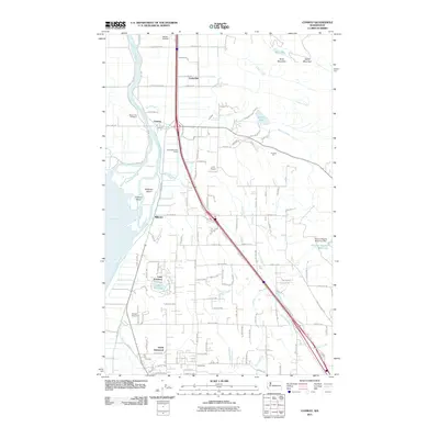 2011 Conway2011 Print · USGSThe Skagit River delta and northern Snohomish County are captured here in the early twenty-first century. Researchers can trace family roots through the Skagit City Cemetery or explore the shifting geography of Milltown, North Stanwood, and Lake Ketchum.
 - 2014 Map of Conway, 2014 Print
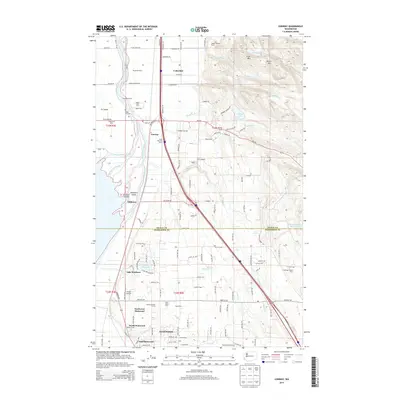 2014 Conway2014 Print · USGSThe Skagit River delta and the northern edge of Snohomish County are captured here during a period of continued agricultural and residential growth. Researchers can locate established landmarks like the Skagit City Cem, Milltown, and family dairies such as River Bend Dairy.
 - 2014 Map of Stanwood, 2014 Print
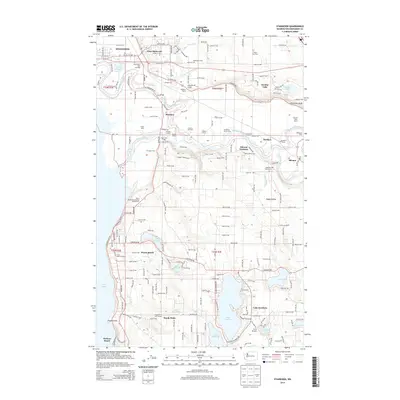 2014 Stanwood2014 Print · USGSCoastal Snohomish County appears here in the early twenty-first century, showing the productive agricultural flats of the Stillaguamish River delta. Local historians can trace family dairy operations like Stalkfleet Farm and find the location of the Pleasant View Cem near Silvana.
 - 2014 Map of Juniper Beach, 2014 Print
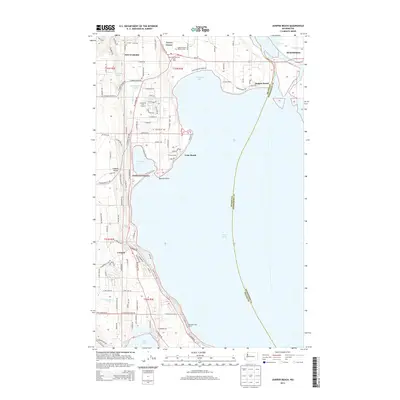 2014 Juniper Beach2014 Print · USGSCamano Island's eastern shoreline and tidal reaches are captured here in the early twenty-first century. Genealogists and local historians can locate the Camano Island Pioneer Cem and trace settlements like New Utsaladdy and Juniper Beach.
 - 2017 Map of Stanwood, 2017 Print
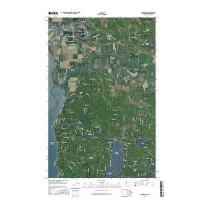 2017 Stanwood2017 Print · USGSThe Snohomish County coast near the decade's end shows the intricate relationship between the Stillaguamish River and the saltwater of Puget Sound. Researchers can trace family history at Anderson Cem or explore the riverside layout of East Stanwood and Florence.
 - 2017 Map of Juniper Beach, 2017 Print
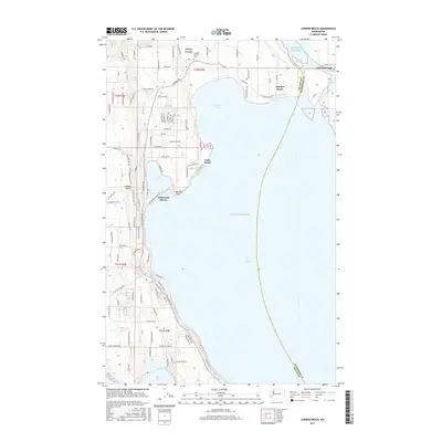 2017 Juniper Beach2017 Print · USGSCamano Island and the mainland near Stanwood are shown here in the late twenty-tens, illustrating a landscape defined by the waters of Puget Sound. Genealogists and local historians can locate the Camano Pioneer Cem and trace coastal developments at Juniper Beach, Driftwood Shores, and Terrys Corner.
 - 2017 Map of Conway, 2017 Print
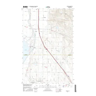 2017 Conway2017 Print · USGSThe Skagit River delta and the northern edge of Snohomish County are shown here in detail during the late 2010s. Genealogists and local historians can trace family-named roads and sites like the Skagit City Cem or the vanished character of Milltown.
 - 2020 Map of Juniper Beach, 2020 Print
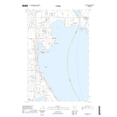 2020 Juniper Beach2020 Print · USGSCamano Island and the mainland near Stanwood are shown in this recent topographic study of the Puget Sound shoreline. Genealogists can locate the Camano Pioneer Cem and Camano Lutheran Cem or trace family roots through the early roads of Terrys Corner.
 - 2020 Map of Conway, 2020 Print
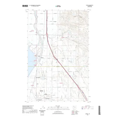 2020 Conway2020 Print · USGSThe Skagit River delta and the northern reaches of Snohomish County are captured here in the 2020s, showing a landscape defined by tidelands and timbered hills. Genealogists and local historians can trace the foundations of Stanwood and Conway, or locate family sites near Skagit City Cem and Lake Ketchum.
 - 2020 Map of Stanwood, 2020 Print
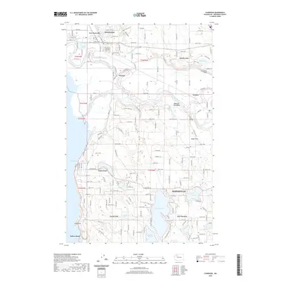 2020 Stanwood2020 Print · USGSCoastal Snohomish County is documented here in a modern era, showing the enduring boundaries of Stanwood and its river-delta neighbors. Genealogists can trace early families at Our Saviour's Lutheran Church Cem or find smaller lakeside settlements like Happy Valley and Florence.
 - 2023 Map of Stanwood, 2023 Print
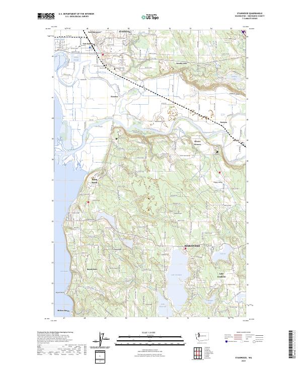 2023 Stanwood2023 Print · USGSThe lower Stillaguamish valley meets the coast at Port Susan in this 2023 survey. Researchers can trace historic cemeteries like Florence Cem, old river crossings at Silvana, and the residential growth around Lake Goodwin.
 - 2023 Map of Juniper Beach, 2023 Print
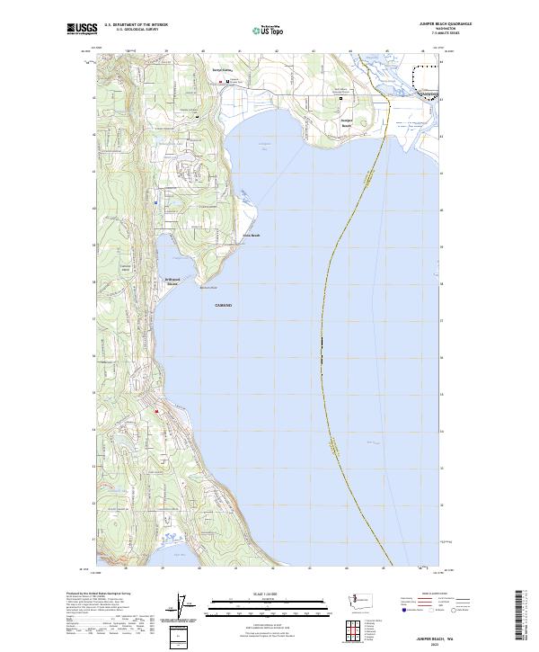 2023 Juniper Beach2023 Print · USGSCamano Island and the neighboring mainland at Stanwood are shown in this recent survey of the Puget Sound's coastal transitions. Genealogists can locate family sites near the Camano Pioneer Cem or Camano Lutheran Ch and trace the shores of Livingston Bay.
Showing maps 1-25 of 26
Top cities near Stanwood
- Everett historical maps
- Marysville historical maps
- Lake Stevens historical maps
- Mount Vernon historical maps
- Oak Harbor historical maps
- Arlington historical maps
See more
Frequently asked questions
- What are the different types of historical maps available for Stanwood?
- What is the oldest map of Stanwood?
- Where can I purchase historical maps of Stanwood for my home or office?
- Where can I download high-res historical maps of Stanwood?
- Are there historical topographic maps available for Stanwood?
- Is there historical aerial imagery available for Stanwood?
- Where are historical maps of Stanwood sourced from?