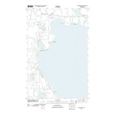
2011 Map of Juniper Beach
USGS Topo · Published 2011About this map
Port Susan and the complex shoreline of Camano Island dominate this 2011 survey, illustrating a landscape defined by saltwater inlets and residential beach communities. The northern reaches of the island around Terrys Corner serve as a primary transit hub, featuring the Terry's Corner Park and Ride and the nearby Livingston Bay Airport. The map documents a mix of recreational development and historical sites, ranging from the Camaloch Golf Course to the Camano Island Pioneer Cemetery north of Livingston Bay.
Find a feature on this map
41 named features on this map. Tap any name to fly to it.
Don’t see what you’re looking for? This feature index may not catch every label — zoom into the map to look around manually.
Map Details
Editions of this 2011 Juniper Beach Map
This is the sole edition of this map. No revisions or reprints were ever made.
Other maps of this area

1911 · Mount Vernon
USGS Topo · 1:125,000

1939 · Coupeville
USGS Topo · 1:62,500

1940 · Mt Vernon
USGS Topo · 1:62,500

1943 · Mt Vernon
USGS Topo · 1:62,500

1943 · Stanwood
USGS Topo · 1:62,500

1943 · Deception Pass
USGS Topo · 1:62,500

1951 · Deception Pass
USGS Topo · 1:62,500

1953 · Freeland
USGS Topo · 1:24,000

1953 · Camano
USGS Topo · 1:24,000

1956 · Tulalip
USGS Topo · 1:24,000