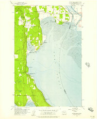
1956 Map of Juniper Beach
USGS Topo · Published 1957About this map
Camano Island is defined here by its intricate shoreline and established rural road network, just as the mid-century coastal development of Island County began to take shape. Inland from the mudflats of Livingston Bay, local life centers around the Pioneer Cemetery and Terrys Corner, while the island's eastern flank is dotted with residential clusters like Juniper Beach and Cavelero Beach. The mapping shows a landscape of freshwater lakes such as Cranberry Lake and Lindsay Lake perched above the tidal waters of Port Susan.
Find a feature on this map
40 named features on this map. Tap any name to fly to it.
Don’t see what you’re looking for? This feature index may not catch every label — zoom into the map to look around manually.
Map Details
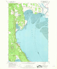
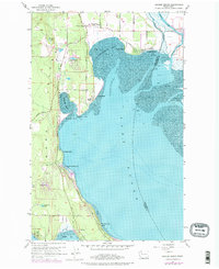
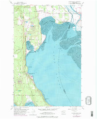
Editions of this 1956 Juniper Beach Map
4 editions found
Other maps of this area

1911 · Mount Vernon
USGS Topo · 1:125,000

1939 · Coupeville
USGS Topo · 1:62,500

1940 · Mt Vernon
USGS Topo · 1:62,500

1943 · Mt Vernon
USGS Topo · 1:62,500

1943 · Stanwood
USGS Topo · 1:62,500

1943 · Deception Pass
USGS Topo · 1:62,500

1951 · Deception Pass
USGS Topo · 1:62,500

1953 · Freeland
USGS Topo · 1:24,000

1953 · Camano
USGS Topo · 1:24,000

1956 · Tulalip
USGS Topo · 1:24,000