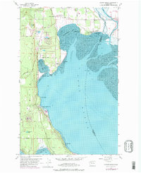
1956 Map of Juniper Beach
USGS Topo · Published 1975About this map
Camano Island's eastern coastline and the waters of Port Susan define this mid-century landscape, capturing a transition from rural island life to established seaside communities. The map highlights numerous shoreline developments like Juniper Beach, Sundins Beach, and Cavelero Beach, which sit opposite the Burlington Northern rail line threading through the eastern salt marshes. Near Terrys Corner, the Camano Island Pioneer Cemetery provides a vital link to the area's earliest settlers, while the Grange Hall near Elger Bay serves as a marker of the island's agricultural foundations. Inland, small freshwater bodies like Kristoferson Lake and Smith Lake punctuate the wooded hills above Triangle Cove. This 1956 survey, later updated with purple revisions, documents the growth of the Camano Country Club and coastal clusters like Driftwood Shores before extensive modern expansion, preserving the mid-century layout of essential routes like Marine Dr and Mabana Road.
Find a feature on this map
40 named features on this map. Tap any name to fly to it.
Don’t see what you’re looking for? This feature index may not catch every label — zoom into the map to look around manually.
Map Details
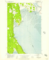
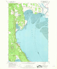
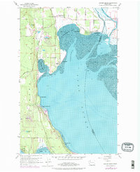
Editions of this 1956 Juniper Beach Map
4 editions found
Other maps of this area

1911 · Mount Vernon
USGS Topo · 1:125,000

1939 · Coupeville
USGS Topo · 1:62,500

1940 · Mt Vernon
USGS Topo · 1:62,500

1943 · Mt Vernon
USGS Topo · 1:62,500

1943 · Stanwood
USGS Topo · 1:62,500

1943 · Deception Pass
USGS Topo · 1:62,500

1951 · Deception Pass
USGS Topo · 1:62,500

1953 · Freeland
USGS Topo · 1:24,000

1953 · Camano
USGS Topo · 1:24,000

1956 · Tulalip
USGS Topo · 1:24,000