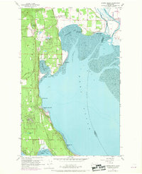
1956 Map of Juniper Beach
USGS Topo · Published 1969About this map
Port Susan and Livingston Bay define the shoreline of Camano Island as it appeared during the late 1950s and 1960s. This survey illustrates a landscape primarily composed of small coastal communities and agricultural holdings, connected by a network of local roads such as Mabana Road and Marine Dr. Evidence of early settlement is preserved at the Camano Island Pioneer Cemetery near Terrys Corner, while the more modern developments of the mid-century are visible at Camano Country Club and Driftwood Shores. Inland, the terrain is dotted with several water bodies, including Kristoferson Lake and Smith Lake, situated amidst the undulating geography. Along the northeastern edge, the Northern Pacific railroad follows the curve of the South Pass, marking the industrial transport corridor that separated the island from the mainland near Juniper Beach.
Find a feature on this map
40 named features on this map. Tap any name to fly to it.
Don’t see what you’re looking for? This feature index may not catch every label — zoom into the map to look around manually.
Map Details
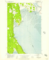
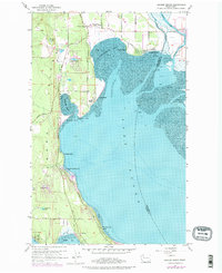
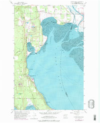
Editions of this 1956 Juniper Beach Map
4 editions found
Other maps of this area

1911 · Mount Vernon
USGS Topo · 1:125,000

1939 · Coupeville
USGS Topo · 1:62,500

1940 · Mt Vernon
USGS Topo · 1:62,500

1943 · Mt Vernon
USGS Topo · 1:62,500

1943 · Stanwood
USGS Topo · 1:62,500

1943 · Deception Pass
USGS Topo · 1:62,500

1951 · Deception Pass
USGS Topo · 1:62,500

1953 · Freeland
USGS Topo · 1:24,000

1953 · Camano
USGS Topo · 1:24,000

1956 · Tulalip
USGS Topo · 1:24,000