Old Maps of Springdale, Washington for Metal Detecting
Plan your next treasure hunt with 17 historic maps of Springdale. Find old homesites, ghost towns, trails, and gathering spots that may be lost to time — perfect for identifying promising metal detecting locations.
- Locate forgotten sites: Uncover places like long-lost settlements, abandoned rail lines, or gathering spots.
- Plan better hunts: Use map overlays combined with LiDAR or satellite views to narrow in on historically rich areas.
- Made for detectorists: Thousands of hobbyists use these maps to discover relics, coins, and hidden history.
Use these historic maps to boost your research and find new opportunities beneath the surface of Springdale.
Springdale, WA maps
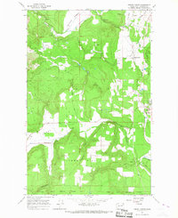
(17)- 1927 Map of Chewelah, 1957 Print
 1927 Chewelah1957 Print · USGSStevens County was a hub of mining and rail during the late twenties, centered on the Colville River valley. Genealogists can trace family footprints through dozens of rural landmarks like Halfway House, Camas Sch, and the United Copper Mine.
 - 1930 Map of Chewelah
 1930 Chewelah1930 Print · USGSStevens County's mining and timber landscape comes alive in the late 1920s, showing the vital rail-to-river corridor. Trace family roots and vanished industrial sites from Springdale to Chewelah, including the United Copper Mine and Bear Creek Sch.2 unique versions available
 - 1958 Map of Sandpoint, 1966 Print
 1958 Sandpoint1966 Print · USGSThe Idaho Panhandle and Northeast Washington are shown here in the late fifties, when timber and hydroelectric power drove the local economy. Trace family roots in rail-side towns like Cusick or Metaline Falls, and locate landmarks like the Albeni Falls Dam or Falls Ranger Station.2 unique versions available
 - 1963 Map of Sandpoint
 1963 Sandpoint1963 Print · USGSNorthern Idaho and eastern Washington are shown in the early sixties as a high-country network of timber, mining, and rail. Genealogists and historians can trace the Great Northern line through Metaline Falls, Bonners Ferry, and past the Finch Mine.
 - 1965 Map of Forest Center, 1967 Print
 1965 Forest Center1967 Print · USGSSouthern Stevens County in the mid-sixties reveals a landscape defined by the Great Northern rail corridor and timbered hills. Genealogists and historians can trace family-named landmarks like Mickelson Road and Lyons Hill or locate the site of Forest Center.3 unique versions available
 - 1965 Map of Springdale, 1967 Print
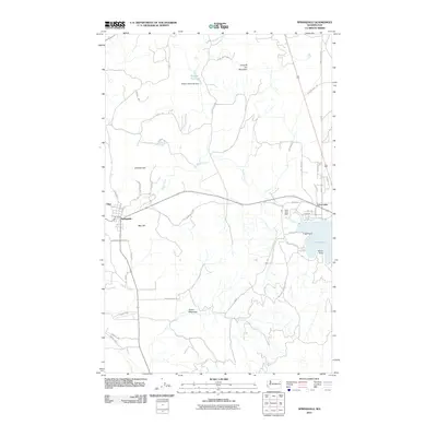
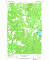 1965 Springdale1967 Print · USGSSoutheastern Stevens County comes to life in the mid-1960s as a hub of rail activity and lakeside recreation. Genealogists and historians can trace the Great Northern tracks from Springdale to the busy shores of Loon Lake.3 unique versions available
 - 1984 Map of Chewelah
 1984 Chewelah1984 Print · USGSNortheastern Washington in the mid-1980s is documented here through its valley settlements and mountain mining districts. Researchers can trace the Burlington Northern line between Springdale and Addy, or locate historical operations like the Wells Fargo Mine and Keystone Mine.
 - 2011 Map of Forest Center, 2011 Print
 2011 Forest Center2011 Print · USGSCovers Springdale, including Grays, Camas, and other nearby areas
 - 2011 Map of Springdale, 2011 Print
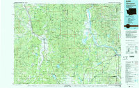
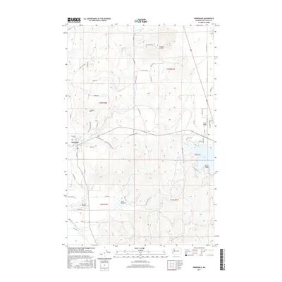
 2011 Springdale2011 Print · USGSCovers Springdale, including Loon Lake, Stevens County, and other nearby areas
 - 2014 Map of Forest Center, 2014 Print
 2014 Forest Center2014 Print · USGSCovers Springdale, including Grays, Camas, and other nearby areas
 - 2014 Map of Springdale, 2014 Print
 2014 Springdale2014 Print · USGSCovers Springdale, including Loon Lake, Stevens County, and other nearby areas
 - 2017 Map of Forest Center, 2017 Print
 2017 Forest Center2017 Print · USGSCovers Springdale, including Grays, Camas, and other nearby areas
 - 2017 Map of Springdale, 2017 Print
 2017 Springdale2017 Print · USGSCovers Springdale, including Loon Lake, Stevens County, and other nearby areas
 - 2020 Map of Springdale, 2020 Print
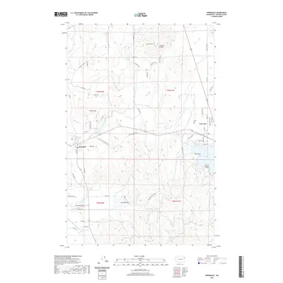 2020 Springdale2020 Print · USGSCovers Springdale, including Loon Lake, Stevens County, and other nearby areas
 - 2020 Map of Forest Center, 2020 Print
 2020 Forest Center2020 Print · USGSCovers Springdale, including Grays, Camas, and other nearby areas
 - 2023 Map of Springdale, 2023 Print
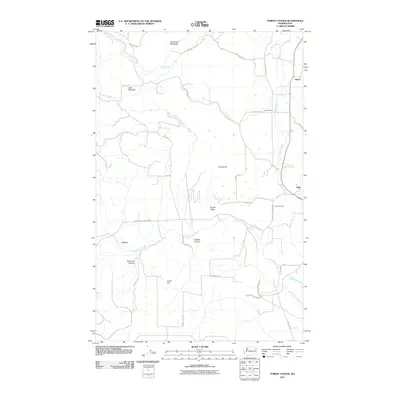
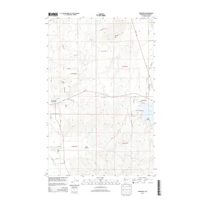
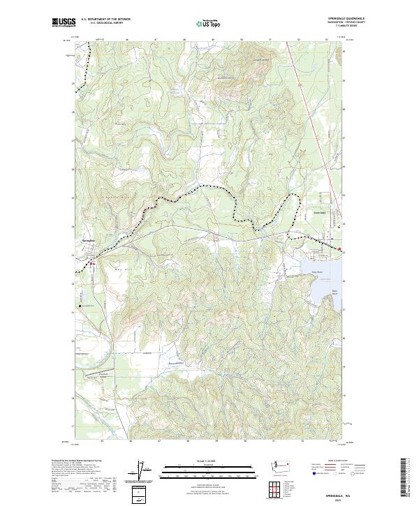 2023 Springdale2023 Print · USGSStevens County is documented here in the early 2020s, showing the established communities of Springdale and Loon Lake. Researchers can trace local landmarks like Springdale Cem, the historic Lime Kiln, and waterfront developments at Tracy Point.
 - 2023 Map of Forest Center, 2023 Print
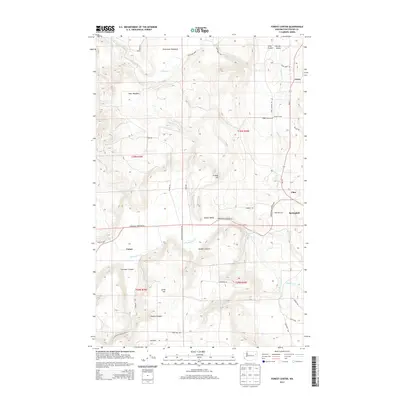
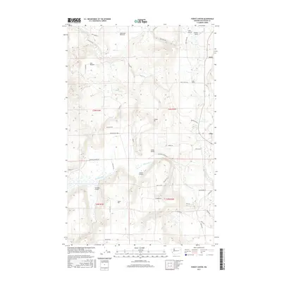
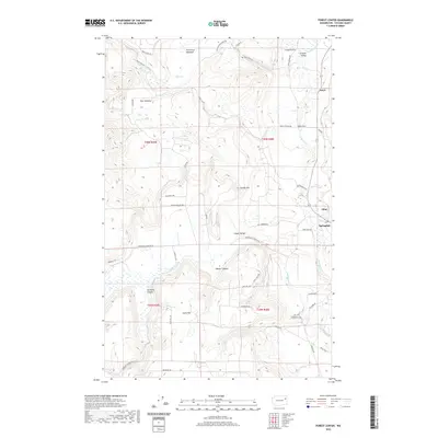
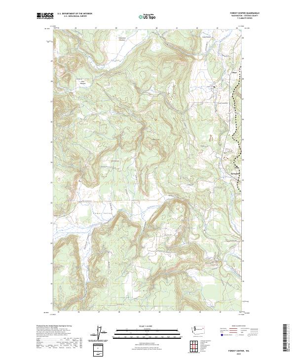 2023 Forest Center2023 Print · USGSThe Stevens County backcountry near Springdale is captured here in its modern rural character, defined by valley meadows and high ridges. Genealogists and hikers can trace the geography of Forest Center Cem and the drainages of Chamokane Creek and Deer Creek.
End of results
Showing maps 1-17 of 17
Top cities near Springdale
Frequently asked questions
- What are the different types of historical maps available for Springdale?
- What is the oldest map of Springdale?
- Where can I purchase historical maps of Springdale for my home or office?
- Where can I download high-res historical maps of Springdale?
- Are there historical topographic maps available for Springdale?
- Is there historical aerial imagery available for Springdale?
- Where are historical maps of Springdale sourced from?