2000s (21st Century) Maps of Tumwater, Washington
Explore 15 historic maps of Tumwater from the 2000s (21st Century). These maps offer a rare glimpse into what life looked like during the 2000s — showing old roads, neighborhoods, homes, and landmarks that have changed or disappeared over time.
Whether you're researching your family's past, planning a metal detecting trip, or studying how Tumwater's landscape evolved across the 2000s, these high-resolution maps are a powerful tool for exploring the history of this region.
- Focus on a specific era: All maps on this page are from the 2000s, giving you a focused view of this time period.
- See what’s changed: Compare century-old streets, trails, and buildings to today's modern landscape using overlays and satellite layers.
- Research with precision: Use these maps for genealogy, historical research, land use analysis, or educational projects.
- View, download, or print: Maps are fully viewable online in high resolution, and can be downloaded or printed for your own records.
Start exploring Tumwater's history through authentic maps from the 2000s. This is your window into the past.
Tumwater, WA maps
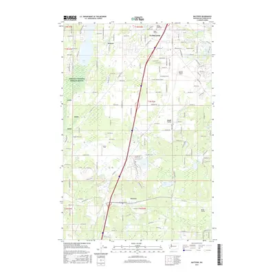
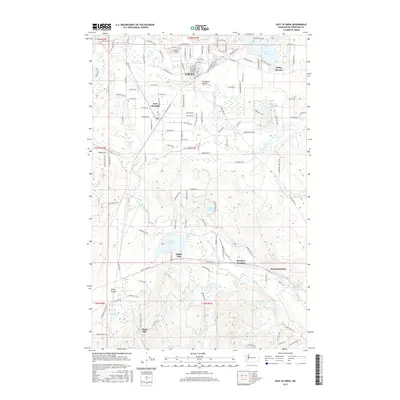
(15)- 2011 Map of East Olympia, 2011 Print
 2011 East Olympia2011 Print · USGSCovers Tumwater, including Lacey, Chaenn Hill, and other nearby areas
 - 2011 Map of Maytown, 2011 Print
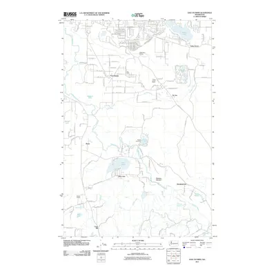
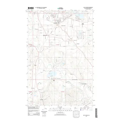
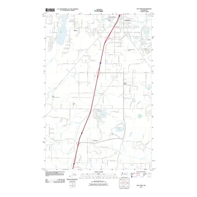 2011 Maytown2011 Print · USGSCovers Tumwater, including Maytown, South Union, and other nearby areas
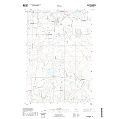
 - 2011 Map of Tumwater, 2011 Print
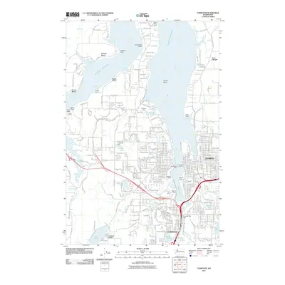 2011 Tumwater2011 Print · USGSCovers Tumwater, including Olympia, Sunrise Beach, and other nearby areas
 - 2013 Map of Maytown, 2013 Print
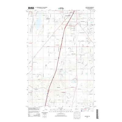 2013 Maytown2013 Print · USGSCovers Tumwater, including Maytown, South Union, and other nearby areas
 - 2013 Map of East Olympia, 2013 Print
 2013 East Olympia2013 Print · USGSCovers Tumwater, including Lacey, Chaenn Hill, and other nearby areas
 - 2014 Map of Tumwater, 2014 Print
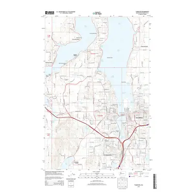 2014 Tumwater2014 Print · USGSCovers Tumwater, including Olympia, Sunrise Beach, and other nearby areas
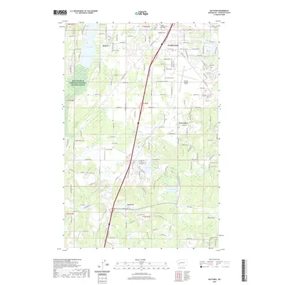
 - 2017 Map of Maytown, 2017 Print
 2017 Maytown2017 Print · USGSCovers Tumwater, including Maytown, South Union, and other nearby areas
 - 2017 Map of Tumwater, 2017 Print
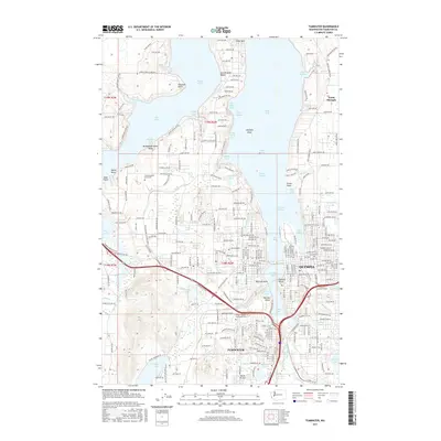 2017 Tumwater2017 Print · USGSCovers Tumwater, including Olympia, Sunrise Beach, and other nearby areas
 - 2017 Map of East Olympia, 2017 Print
 2017 East Olympia2017 Print · USGSCovers Tumwater, including Lacey, Chaenn Hill, and other nearby areas
 - 2020 Map of East Olympia, 2020 Print
 2020 East Olympia2020 Print · USGSCovers Tumwater, including Lacey, Chaenn Hill, and other nearby areas
 - 2020 Map of Maytown, 2020 Print
 2020 Maytown2020 Print · USGSCovers Tumwater, including Maytown, South Union, and other nearby areas
 - 2020 Map of Tumwater, 2020 Print
 2020 Tumwater2020 Print · USGSCovers Tumwater, including Olympia, Sunrise Beach, and other nearby areas
 - 2023 Map of East Olympia, 2023 Print
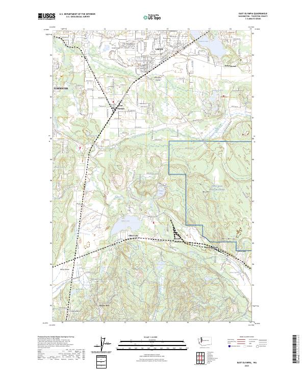 2023 East Olympia2023 Print · USGSThurston County’s prairies and river valleys are shown in detail here, reflecting the modern growth of the south Puget Sound region. Researchers can trace the Deschutes River and locate key points like East Olympia, Offutt Lake, and Western Junction.
 - 2023 Map of Maytown, 2023 Print
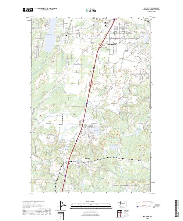 2023 Maytown2023 Print · USGSThurston County south of Tumwater is captured here in its modern state, showing a landscape of prairies and glacial lakes. Genealogists and local historians can trace legacy locations like Pioneer Calvary Catholic Cem and the settlements of Belmore and Maytown.
 - 2023 Map of Tumwater, 2023 Print
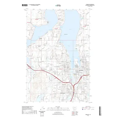
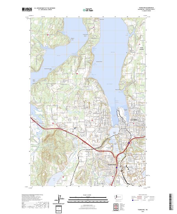 2023 Tumwater2023 Print · USGSThe southern Puget Sound shoreline meets the state capital in this recent survey of the Olympia and Tumwater waterfronts. Researchers can locate coastal landmarks like Priest Point Park alongside several major cemeteries including Masonic Memorial Park.
End of results
Showing maps 1-15 of 15
Top cities near Tumwater
- Olympia historical maps
- Lacey historical maps
- Shelton historical maps
- Kamilche historical maps
- Grand Mound historical maps
- Rochester historical maps
See more
Top neighborhoods of Tumwater
- Bush historical maps
- Lamberts Corner historical maps
- Belmore historical maps
- The Villas at Kennedy Creek Apartments historical maps
- Tumwater Mobile Estates historical maps
- Barnes Lake Condominiums historical maps
Frequently asked questions
- What are the different types of historical maps available for Tumwater?
- What is the oldest map of Tumwater?
- Where can I purchase historical maps of Tumwater for my home or office?
- Where can I download high-res historical maps of Tumwater?
- Are there historical topographic maps available for Tumwater?
- Is there historical aerial imagery available for Tumwater?
- Where are historical maps of Tumwater sourced from?