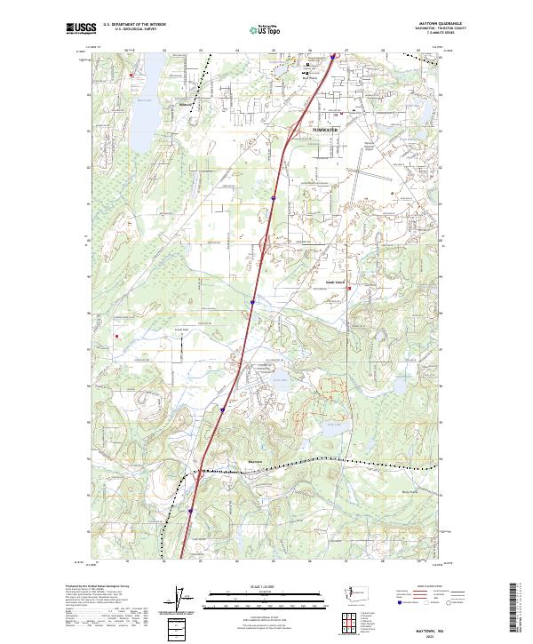
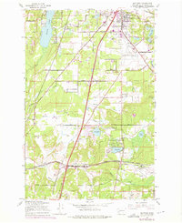
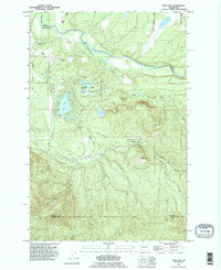
2023 Map of Maytown
USGS Topo · Published 2023About this map
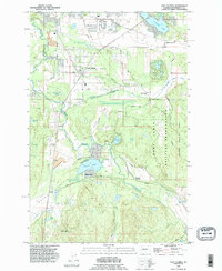
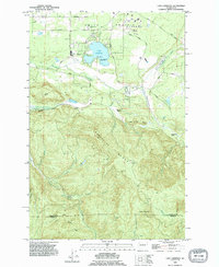
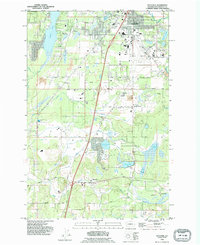
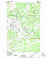
Tumwater and its southern environs are defined by a complex network of glacial lakes and prairie lands in this contemporary survey of Thurston County. The landscape transitions from the developed aviation grounds of the Olympia Regional Airport to the preserved wetlands of the Billy Frank Jr Nisqually National Wildlife Refuge. Moving south along the Interstate 5 corridor, the map documents several distinct communities including Bush Prairie, South Union, and Maytown. Local history and genealogy are anchored by several established burial grounds such as Olympic Memorial Garden Cem and Union Cem. The hydrologic character of the region is evident in the numerous water bodies, from the sprawling Black Lake in the northwest to the smaller Scott Lake and Deep Lake further south, interspersed with the channels of Salmon Creek and Beaver Creek.
Find a feature on this map
94 named features on this map. Tap any name to fly to it.
Don’t see what you’re looking for? This feature index may not catch every label — zoom into the map to look around manually.
Map Details
Editions of this 2023 Maytown Map
This is the sole edition of this map. No revisions or reprints were ever made.
Historical Maps of Tumwater Through Time
29 maps found

1941 Gate
Thurston County, WA
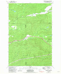
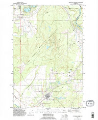
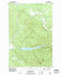
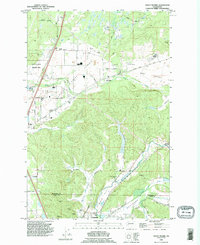
1959 Bald Hill
Thurston County, WA
1959 East Olympia
Thurston County, WA
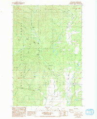
1959 Lake Lawrence
Thurston County, WA
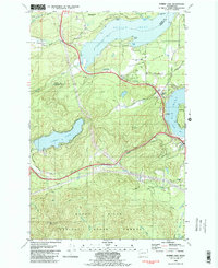
1959 Maytown
Thurston County, WA
1959 Tenalquot Prairie
Thurston County, WA
1959 Tenino SW
Thurston County, WA
1959 Vail
Thurston County, WA
1981 Kamilche Valley
Thurston County, WA
1981 Summit Lake
Thurston County, WA
1986 Littlerock
Thurston County, WA
1990 Bald Hill
Thurston County, WA
1990 East Olympia
Thurston County, WA
1990 Lake Lawrence
Thurston County, WA
1990 Maytown
Thurston County, WA
1990 Mc Kenna
Thurston County, WA
1990 Tenalquot Prairie
Thurston County, WA
1990 Vail
Thurston County, WA
1990 Violet Prairie
Thurston County, WA
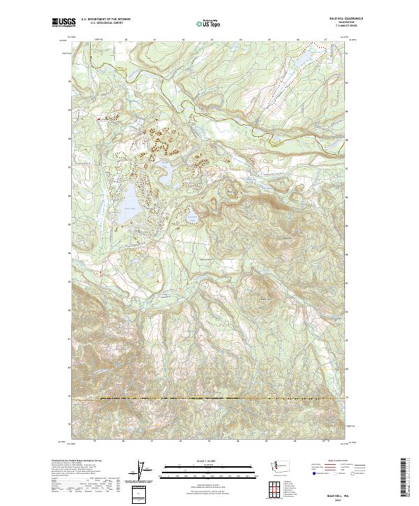
2023 Bald Hill
Thurston County, WA
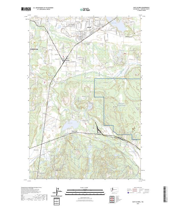
2023 East Olympia
Thurston County, WA
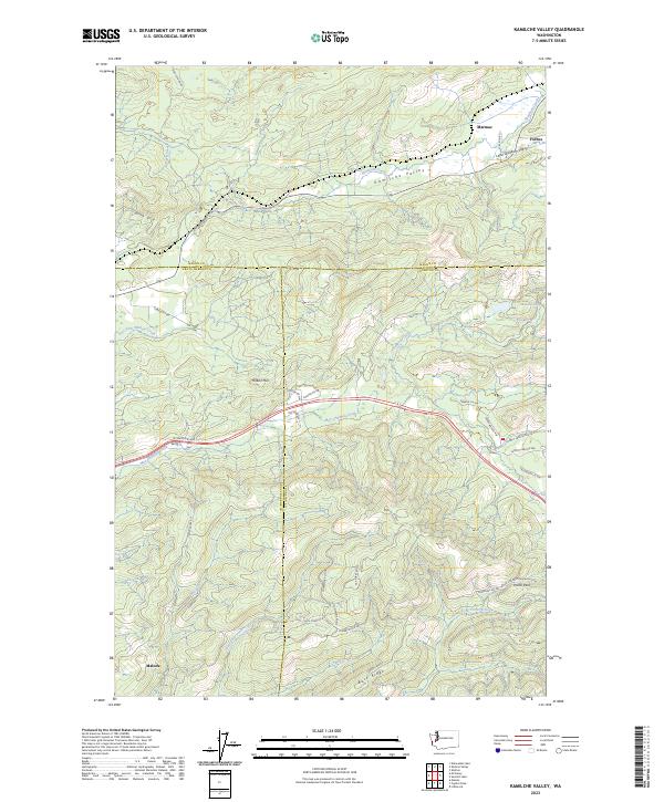
2023 Kamilche Valley
Thurston County, WA
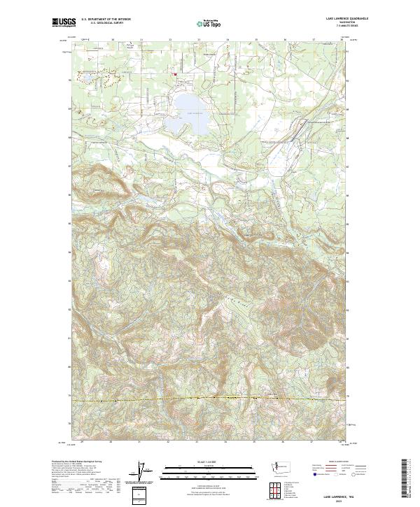
2023 Lake Lawrence
Thurston County, WA
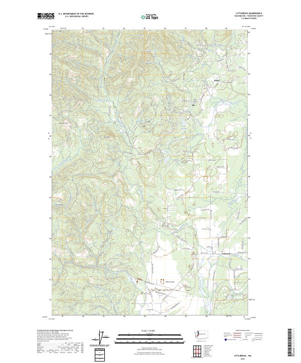
2023 Littlerock
Thurston County, WA
2023 Maytown
Thurston County, WA
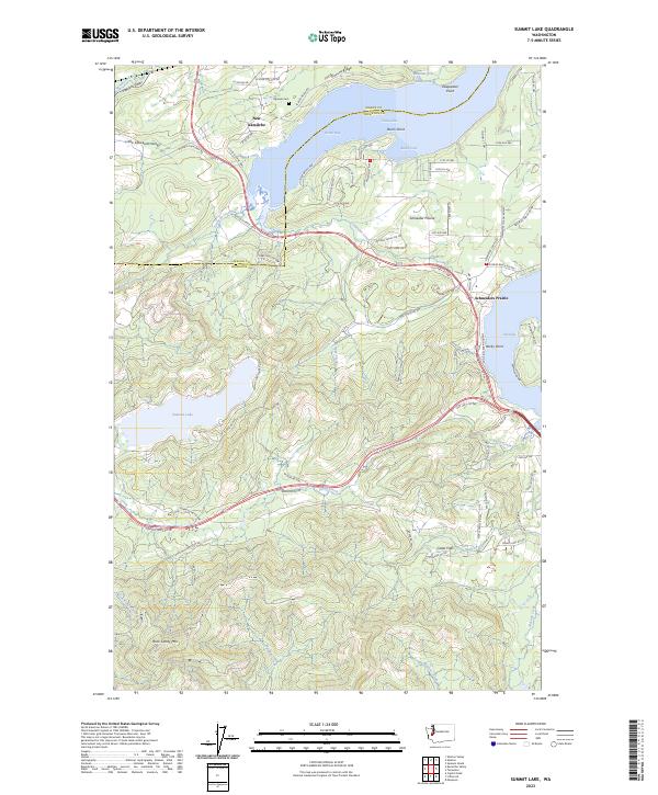
2023 Summit Lake
Thurston County, WA
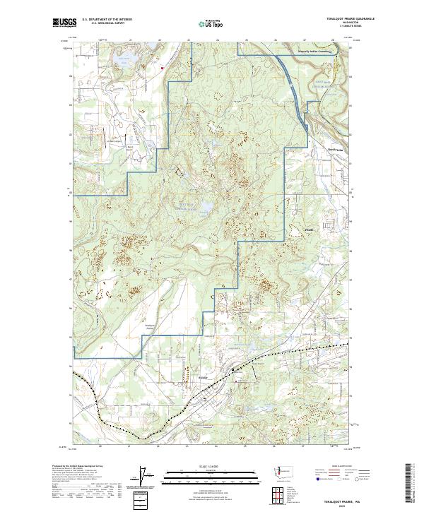
2023 Tenalquot Prairie
Thurston County, WA
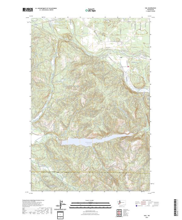
2023 Vail
Thurston County, WA
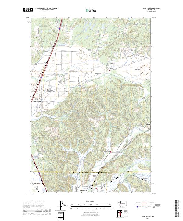
2023 Violet Prairie
Thurston County, WA