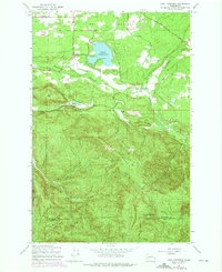
1959 Map of Lake Lawrence
USGS Topo · Published 1976About this map
Smith Prairie and the surrounding timberlands of southern Thurston County define this landscape as it appeared during the late 1950s and early 1970s. The map captures a transitional rural environment where small settlements like Algyer, Mitchell, and Lindsay dot the northern flats near Lake Lawrence. Moving south, the terrain rises sharply toward Porcupine Ridge and Clam Mountain, where the topography is shaped by the headwaters of several drainages, including the Deschutes River and the Skookumchuck River.
Find a feature on this map
35 named features on this map. Tap any name to fly to it.
Don’t see what you’re looking for? This feature index may not catch every label — zoom into the map to look around manually.
Map Details
Editions of this 1959 Lake Lawrence Map
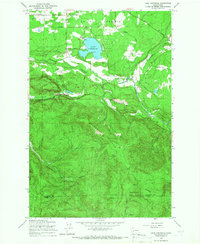
2 editions found
Other maps of this area

1916 · Chehalis
USGS Topo · 1:125,000

1937 · Eatonville
USGS Topo · 1:125,000

1941 · Tanwax Lake
USGS Topo · 1:62,500

1943 · Willapa
USGS Topo · 1:62,500

1944 · Yelm
USGS Topo · 1:62,500

1944 · Ohop Valley
USGS Topo · 1:62,500

1949 · Ohop Valley
USGS Topo · 1:62,500

1949 · Yelm
USGS Topo · 1:62,500

1953 · Hoquiam
USGS Topo · 1:250,000

1954 · Onalaska
USGS Topo · 1:62,500