Old Maps of Bluelight, Washington for Academic Research
Study the evolution of Bluelight with 12 high-resolution historic maps. Whether you're teaching, researching, or modeling changes in land use, these maps provide essential visual documentation of urban, environmental, and geographic change.
- Analyze long-term change: Track patterns in development, transportation, and natural features.
- Ideal for environmental or urban studies: Support academic projects with primary historical map data.
- Use in the classroom or lab: Educators and researchers rely on these maps to bring historical context to life.
These maps are a powerful tool for teaching, research, and visualizing how Bluelight has changed over the decades.
Bluelight, WA maps
(12)- 1910 Map of Zillah
 1910 Zillah1910 Print · USGSThe Yakima River valley was transforming into an agricultural hub in the early 1900s as irrigation projects expanded. Researchers can trace the path of the Northern Pacific railroad through Toppenish and Wapato, or locate early sites like the Sawmill and Bluelight.3 unique versions available
 - 1950 Map of Yakima, 1951 Print
 1950 Yakima1951 Print · USGSThe Yakima Valley and the towering Cascades meet in this mid-century survey of South Central Washington. Genealogists and local historians can trace the irrigation-era growth of Yakima, the historic Fort Simcoe outpost, and the White Swan Mission on the Yakima Indian Reservation.
 - 1958 Map of Yakima, 1964 Print
 1958 Yakima1964 Print · USGSThe Yakima Valley in the late fifties shows a landscape of mountain peaks and irrigated plains at the height of its rail-era development. Researchers can trace the lineage of early settlements through sites like Fort Simcoe, the Wenas Cemetery, and the Yakima Indian Agency School.3 unique versions available
 - 1961 Map of Yakima
 1961 Yakima1961 Print · USGSCentral Washington thrived in the mid-century as an agricultural powerhouse defined by the Yakima River. Trace local roots through Medicine Valley School, Fort Simcoe, and the rail lines of the Northern Pacific RR.
 - 1965 Map of Bluelight, 1966 Print
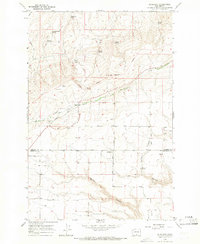 1965 Bluelight1966 Print · USGSHigh desert ranching in Yakima and Klickitat counties comes into focus in the mid-sixties, dominated by the Yakima Indian Reservation. Genealogists and historians can trace old homestead sites like Donoho Ranch and the community at Bluelight near the remote Tule Canyon.
 - 1965 Map of Bluelight, 1966 Print
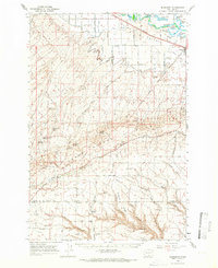 1965 Bluelight1966 Print · USGSThe Yakima Valley and the Horse Heaven Hills meet in the 1960s, showing a landscape shaped by the Northern Pacific railroad and sprawling irrigation canals. Genealogists can locate the Glade Cem and Dorothy Sch, or trace old routes like the Chief Jeep Trail and Alderdale Road.
 - 1979 Map of Toppenish
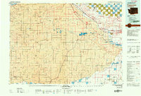 1979 Toppenish1979 Print · USGSThe Yakima Valley and its surrounding tribal lands are shown in great detail during the late seventies, as the region's agricultural and rail networks reached their modern form. Researchers can trace the layout of reservation communities like White Swan and Harrah or explore the irrigation patterns near the Toppenish National Wildlife Refuge.2 unique versions available
 - 2011 Map of Bluelight, 2011 Print
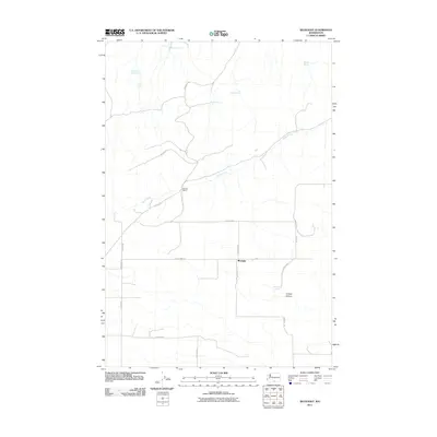 2011 Bluelight2011 Print · USGSBluelight and the dry eastern Washington rangelands are captured here in the early twenty-first century. Researchers can trace the layout of family-named landmarks and water sources like Donoho Ranch, Martinet Spring, and the winding Glade Creek.
 - 2013 Map of Bluelight, 2013 Print
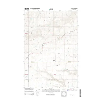 2013 Bluelight2013 Print · USGSThe Yakima and Klickitat county line runs through this interior Washington landscape during the early twenty-first century. Genealogists and local historians can trace the geography of the Donoho Ranch and numerous water sources like Mammoth Tusk Spring and Matson Spring.
 - 2017 Map of Bluelight, 2017 Print
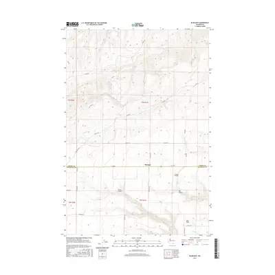 2017 Bluelight2017 Print · USGSThe Yakima and Klickitat county border comes alive in this survey of the high-desert ranching country. Researchers can trace the essential network of remote water sources like Mammoth Spring and topographic landmarks including Juniper Canyon and Sand Ridge.
 - 2020 Map of Bluelight, 2020 Print
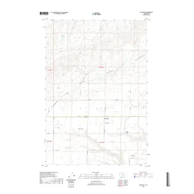 2020 Bluelight2020 Print · USGSThe high plateau of south-central Washington is captured here in the contemporary era, centered on the cross-county settlement of Bluelight. Trace the vital water network and canyon systems of this ranching landscape, including Mammoth Tusk Spring, Tule Canyon, and Sand Ridge.
 - 2023 Map of Bluelight, 2023 Print
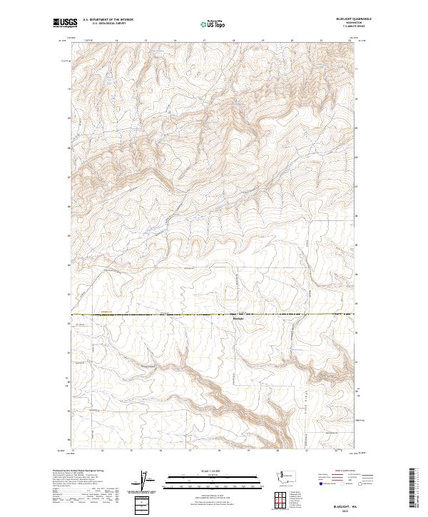 2023 Bluelight2023 Print · USGSNear the Yakima and Klickitat county line, this modern survey details a remote landscape of canyons and vital water sources. Researchers can trace the routes of BIA Rd 7 and find scattered landmarks like Martinet Spring, Mammoth Tusk Spring, and the settlement at Bluelight.
End of results
Showing maps 1-12 of 12
Top cities near Bluelight
Frequently asked questions
- What are the different types of historical maps available for Bluelight?
- What is the oldest map of Bluelight?
- Where can I purchase historical maps of Bluelight for my home or office?
- Where can I download high-res historical maps of Bluelight?
- Are there historical topographic maps available for Bluelight?
- Is there historical aerial imagery available for Bluelight?
- Where are historical maps of Bluelight sourced from?