Old Maps of Zillah, Washington for Genealogy
Trace your family roots with 18 historic maps of Zillah. These high-res maps reveal old neighborhoods, homesites, landmarks, and streets — helping you uncover where your ancestors lived and how the area evolved over time.
- Explore historic neighborhoods: Identify where your relatives may have lived in the 1800s or 1900s.
- Compare maps over time: Trace the changes in streets, buildings, and landmarks for multi-generational research.
- Perfect for genealogy & ancestry research: Used by family historians and researchers to map out lineage and migration.
These maps are an incredible resource for exploring your personal connection to Zillah's past.
Zillah, WA maps
(18)- 1910 Map of Zillah
 1910 Zillah1910 Print · USGSThe Yakima River valley was transforming into an agricultural hub in the early 1900s as irrigation projects expanded. Researchers can trace the path of the Northern Pacific railroad through Toppenish and Wapato, or locate early sites like the Sawmill and Bluelight.3 unique versions available
 - 1950 Map of Yakima, 1951 Print
 1950 Yakima1951 Print · USGSThe Yakima Valley and the towering Cascades meet in this mid-century survey of South Central Washington. Genealogists and local historians can trace the irrigation-era growth of Yakima, the historic Fort Simcoe outpost, and the White Swan Mission on the Yakima Indian Reservation.
 - 1958 Map of Toppenish, 1960 Print
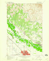 1958 Toppenish1960 Print · USGSYakima County thrives in the late fifties as a hub of irrigation and rail transport along the Yakima River. Researchers can trace the development of the Yakima Indian Reservation and locate landmarks like the Sugar Refinery, McCoy Cemetery, and Zillah.3 unique versions available
 - 1958 Map of Yakima, 1964 Print
 1958 Yakima1964 Print · USGSThe Yakima Valley in the late fifties shows a landscape of mountain peaks and irrigated plains at the height of its rail-era development. Researchers can trace the lineage of early settlements through sites like Fort Simcoe, the Wenas Cemetery, and the Yakima Indian Agency School.3 unique versions available
 - 1961 Map of Yakima
 1961 Yakima1961 Print · USGSCentral Washington thrived in the mid-century as an agricultural powerhouse defined by the Yakima River. Trace local roots through Medicine Valley School, Fort Simcoe, and the rail lines of the Northern Pacific RR.
 - 1965 Map of Granger, 1966 Print
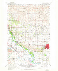 1965 Granger1966 Print · USGSThe Yakima Valley thrived in the mid-sixties as a complex network of canals and railroads linked growing towns like Sunnyside and Granger. Researchers can trace the footprints of rural life at St Josephs Ch, Outlook Sch, and the settlement of Punkin Center.
 - 1965 Map of Granger NW, 1967 Print
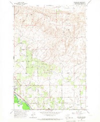 1965 Granger NW1967 Print · USGSThe Yakima Valley in the mid-1960s reveals a landscape transformed by water management and rail transport. Trace the Roza Canal network, the Northern Pacific tracks, and family-named landmarks like Thacker Road or Zillah.
 - 1979 Map of Toppenish
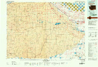 1979 Toppenish1979 Print · USGSThe Yakima Valley and its surrounding tribal lands are shown in great detail during the late seventies, as the region's agricultural and rail networks reached their modern form. Researchers can trace the layout of reservation communities like White Swan and Harrah or explore the irrigation patterns near the Toppenish National Wildlife Refuge.2 unique versions available
 - 2011 Map of Granger NW, 2011 Print
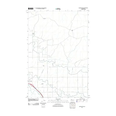 2011 Granger NW2011 Print · USGSZillah and the Yakima River valley are captured here in the early twenty-first century, showing a landscape defined by intensive irrigation and agriculture. Researchers can trace the paths of the West Lateral and Roza Wasteway Number 4 or locate McMahon Field and Bunger Dam.
 - 2011 Map of Toppenish, 2011 Print
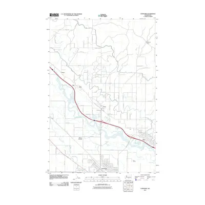 2011 Toppenish2011 Print · USGSToppenish and the Yakima Valley are shown in 2011, documenting the region’s intricate agricultural grid and river system. Genealogists can locate the McCoy Cemetery, trace the winding Wanity Slough, or explore the rural outskirts of Zillah and Buena.
 - 2013 Map of Toppenish, 2013 Print
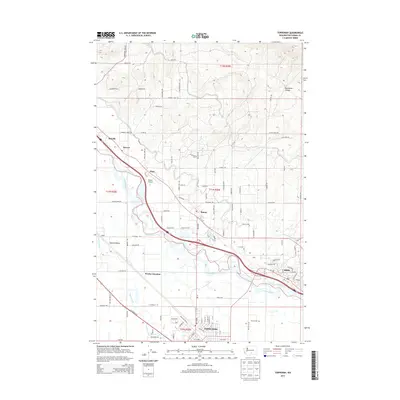 2013 Toppenish2013 Print · USGSThe Yakima Valley's agricultural heartland is documented here in the early 2000s, centered on the river's path through the reservation. Genealogists and local historians can trace the road networks connecting Toppenish, Zillah, and Buena, alongside landmarks like McCoy Cem.
 - 2013 Map of Granger NW, 2013 Print
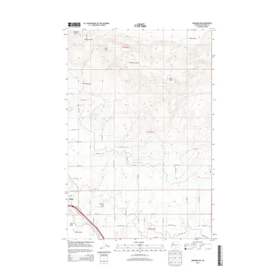 2013 Granger NW2013 Print · USGSThe Yakima Valley agricultural corridor and the town of Zillah appear in detail during the early 2010s. Researchers can trace the complex irrigation networks of the Roza Wasteway Number 4 and find local landmarks like Mc Mahon Field Airport.
 - 2017 Map of Toppenish, 2017 Print
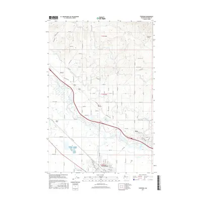 2017 Toppenish2017 Print · USGSYakima County’s agricultural heartland is documented here in the late twenty-teens, showing the vital irrigation networks and settlements along the river. Researchers can trace the layout of Toppenish, locate the McCoy Cem, and follow the path of the Sunnyside Canal through the valley.
 - 2017 Map of Granger NW, 2017 Print
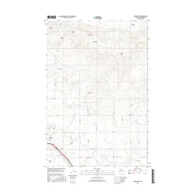 2017 Granger NW2017 Print · USGSThe Yakima Valley and its intricate irrigation systems are on full display during the twenty-tens as the town of Zillah grows. Genealogists and historians can trace family property boundaries along Sunnyside Canal or locate local landmarks like Mc Mahon Field and Zillah Peak.
 - 2020 Map of Granger NW, 2020 Print
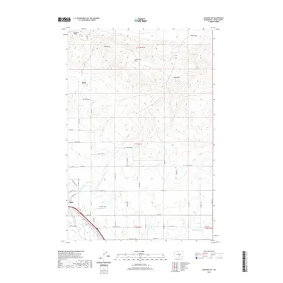 2020 Granger NW2020 Print · USGSZillah and the irrigated orchard lands of the Yakima Valley are shown here in the contemporary era. Researchers can trace the essential canal network of the Roza Canal and Sunnyside Canal or locate local landmarks like Zillah Peak.
 - 2020 Map of Toppenish, 2020 Print
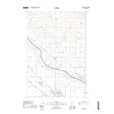 2020 Toppenish2020 Print · USGSThe Yakima Valley's agricultural heartland is documented here at the start of the 2020s, showing a landscape defined by vital irrigation works. Researchers can trace family-named roads and historic settlements from Toppenish and Zillah to the McCoy Cem.
 - 2023 Map of Toppenish, 2023 Print
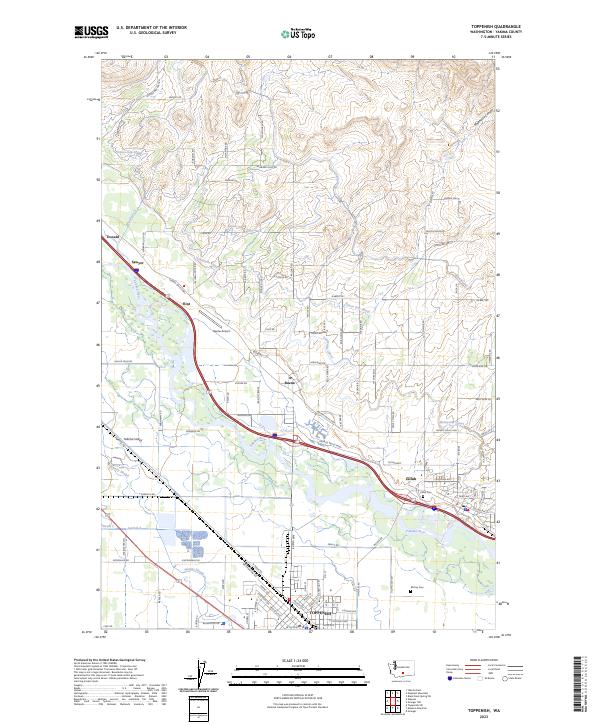 2023 Toppenish2023 Print · USGSYakima County’s agricultural heartland is documented here in the early twenty-first century, centered on the fertile valley between the Yakima River and its upland canyons. Researchers can trace the legacy of irrigation and aviation through the Sunnyside Canal, Buena Airport, and family-named routes like Zickler Rd.
 - 2023 Map of Granger NW, 2023 Print
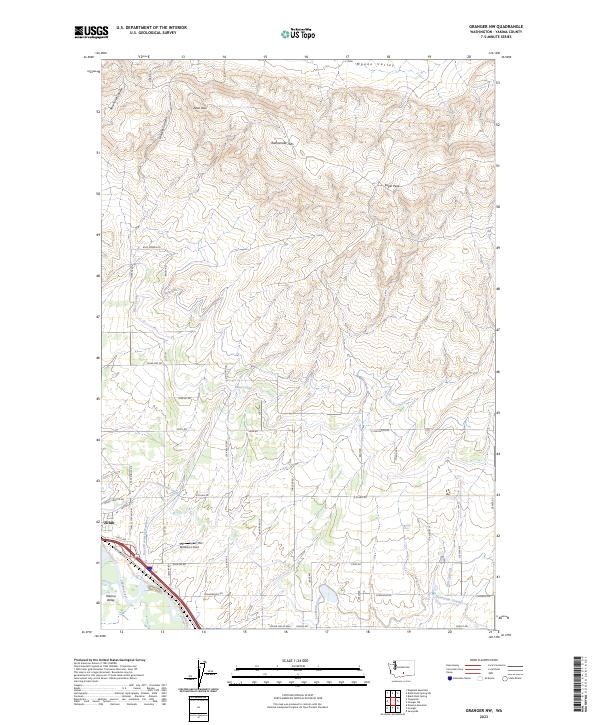 2023 Granger NW2023 Print · USGSThe Yakima Valley's irrigation-driven agriculture is on full display here in the early twenty-first century. Researchers can trace the path of the Sunnyside Canal, locate the residential streets of Zillah, and explore the high ridges of the Rattlesnake Hills.
End of results
Showing maps 1-18 of 18
Top cities near Zillah
- Yakima historical maps
- Toppenish historical maps
- Union Gap historical maps
- Wapato historical maps
- Moxee historical maps
- Granger historical maps
See more
Top neighborhoods of Zillah
Frequently asked questions
- What are the different types of historical maps available for Zillah?
- What is the oldest map of Zillah?
- Where can I purchase historical maps of Zillah for my home or office?
- Where can I download high-res historical maps of Zillah?
- Are there historical topographic maps available for Zillah?
- Is there historical aerial imagery available for Zillah?
- Where are historical maps of Zillah sourced from?