2010s Maps of Barbour County, West Virginia
Explore 52 historic maps of Barbour County from the 2010s. These maps offer a rare glimpse into what life looked like during the 2010s — showing old roads, neighborhoods, homes, and landmarks that have changed or disappeared over time.
Whether you're researching your family's past, planning a metal detecting trip, or studying how Barbour County's landscape evolved across the 2010s, these high-resolution maps are a powerful tool for exploring the history of this region.
- Focus on a specific era: All maps on this page are from the 2010s, giving you a focused view of this time period.
- See what’s changed: Compare century-old streets, trails, and buildings to today's modern landscape using overlays and satellite layers.
- Research with precision: Use these maps for genealogy, historical research, land use analysis, or educational projects.
- View, download, or print: Maps are fully viewable online in high resolution, and can be downloaded or printed for your own records.
Start exploring Barbour County's history through authentic maps from the 2010s. This is your window into the past.
Barbour County, WV maps
(52)- 2010 Map of Junior, 2010 Print
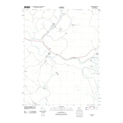 2010 Junior2010 Print · USGSThe Tygart Valley at the start of the millennium was a network of close-knit river towns and mountain hollows. Researchers can locate specific community centers like the Norton Post Office and trace the paths of Roaring Creek Junction and Crystal Springs.
 - 2011 Map of Fellowsville, 2011 Print
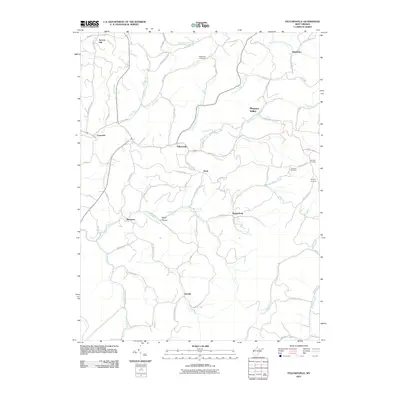 2011 Fellowsville2011 Print · USGSPreston County's winding hollows and ridge-top settlements are captured here in the early twenty-first century. Genealogists can trace family footprints through sites like Blackwood Cemetery or follow historic routes such as the Old Evansville Pike.
 - 2011 Map of Nestorville, 2011 Print
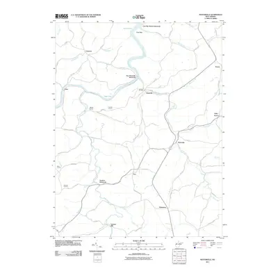 2011 Nestorville2011 Print · USGSBarbour County's river valleys and ridgelines are documented here during the early twenty-first century. Researchers can trace the legacy of early industry and local families at Valley Furnace, Vannoys Mill, and Fairview Cemetery.
 - 2011 Map of Thornton, 2011 Print
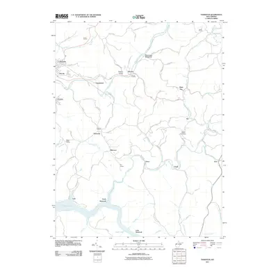 2011 Thornton2011 Print · USGSTaylor County's hills and narrow valleys appear in detail during the early 21st century, centered on the settlement of Thornton. Researchers can trace the legacy of vanished communities at Westerman or locate family plots at Knottsville Cemetery and Current Cemetery.
 - 2011 Map of Belington, 2011 Print
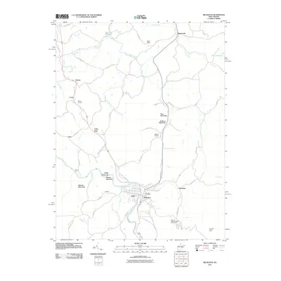 2011 Belington2011 Print · USGSBelington and the Tygart Valley River corridor are captured here at the start of the twenty-first century. Genealogists and historians can trace numerous vanished settlements like Lehigh and Wilmoth, or locate family landmarks such as Barbour Cemetery.
 - 2011 Map of Ellamore, 2011 Print
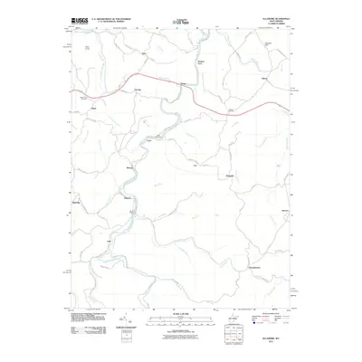 2011 Ellamore2011 Print · USGSRandolph County's river valleys and rail corridors are captured in this recent survey of the Middle Fork region. Researchers can locate family landmarks like Mount Zion Cemetery, the historic Kingsville Station, and the crossing at Finegan Ford.
 - 2011 Map of Grafton, 2011 Print
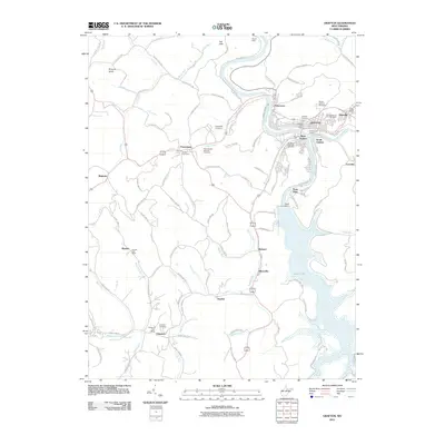 2011 Grafton2011 Print · USGSGrafton and its surrounding Taylor County hills are shown in detail during the early twenty-first century. Researchers can trace the legacy of local families and veterans at the Grafton National Cemetery, the waters of Tygart Lake, and the historic junction at Pruntytown.
 - 2011 Map of Brownton, 2011 Print
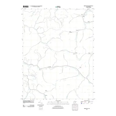 2011 Brownton2011 Print · USGSBarbour County in the early twenty-first century reveals a landscape shaped by creek-side settlements and ancestral burial grounds. Genealogists and local historians can trace family roots at Green Hill Cemetery or explore the quiet reaches of Peeltree and Pepper.
 - 2011 Map of Philippi, 2011 Print
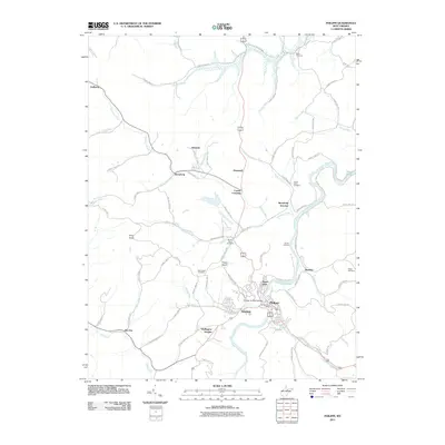 2011 Philippi2011 Print · USGSIn the Tygart Valley during the early twenty-first century, this area shows a landscape shaped by the Tygart Valley River and its many tributaries. Researchers can locate the Philippi Covered Bridge and trace family roots at the Old Quaker Cemetery or Sayre Cemetery.
 - 2011 Map of Audra, 2011 Print
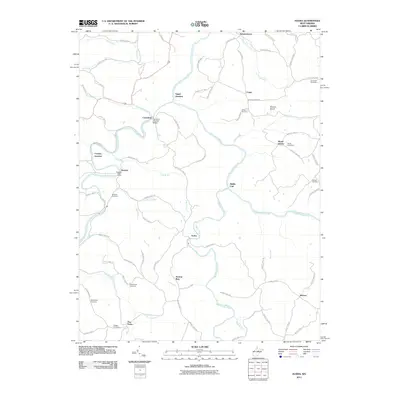 2011 Audra2011 Print · USGSWest Virginia's river valleys and rural crossroads are captured here during the early twenty-first century. Genealogists and historians can trace family plots like Booth Cemetery and Holbert Cemetery or locate the historic Carrollton Covered Bridge.
 - 2011 Map of Century, 2011 Print
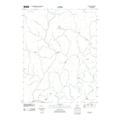 2011 Century2011 Print · USGSIn the hills of West Virginia, this survey shows the Buckhannon River valley at the start of the decade. Genealogists and historians can trace family locations through Oakington Cemetery, the Century Post Office, and Kesling Mill.
 - 2011 Map of Montrose, 2011 Print
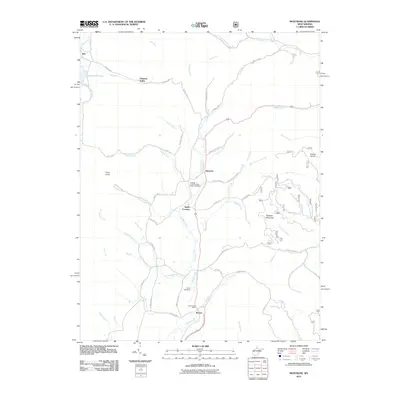 2011 Montrose2011 Print · USGSRandolph County's mountain valleys were deeply established by the early 2000s, centered around the Leading Creek drainage. Researchers can locate family landmarks like the Leading Creek Primitive Baptist Cemetery and the Kerens Post Office or trace old routes through Smith Crossing.
 - 2011 Map of Colebank, 2011 Print
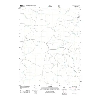 2011 Colebank2011 Print · USGSColebank and the surrounding Preston County highlands are captured here in the early twenty-first century. Genealogists and local historians can locate the Kasson Post Office, Shiloh Cemetery, and family landmarks near Texas Mountain and Sandy Creek.
 - 2014 Map of Ellamore, 2014 Print
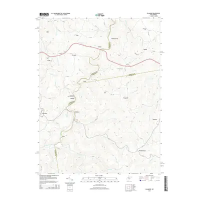 2014 Ellamore2014 Print · USGSThe West Virginia highlands between the Buckhannon and Tygart Valley rivers are shown here in the 2010s, focused on the river-split border of three counties. You can trace historic valley settlements like Ellamore, Midvale, and Pumpkintown, or locate landmarks such as Burnt Bridge and Mt Zion Cem.
 - 2014 Map of Fellowsville, 2014 Print
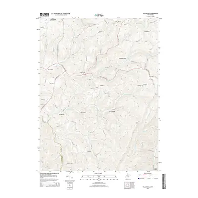 2014 Fellowsville2014 Print · USGSPreston and Barbour counties are captured in the mid-2010s, showing a landscape of high ridges and winding valley roads. Researchers can locate family landmarks like Blackwood Cem and Bolyard Cem or trace the old routes through Fellowsville and Marquess.
 - 2014 Map of Thornton, 2014 Print
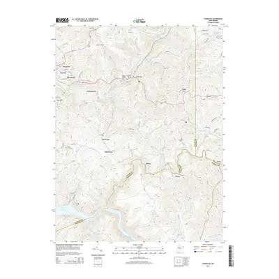 2014 Thornton2014 Print · USGSTaylor County and the rugged borders of Barbour and Preston counties are detailed in the mid-2010s, centered on the historic hub of Grafton. Genealogists can locate family landmarks such as the Wesley Chapel Cem, Knottsville Cem, and the bridge at Thornton.
 - 2014 Map of Montrose, 2014 Print
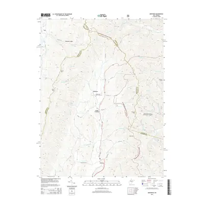 2014 Montrose2014 Print · USGSThe Leading Creek valley of Randolph County comes into focus in this modern era, showing the enduring rural character of the Appalachian highlands. Genealogists and hikers can trace connections at Leading Creek Primitive Baptist Cemetery or explore the heights of Laurel Mountain and Polecat Knob.
 - 2014 Map of Colebank, 2014 Print
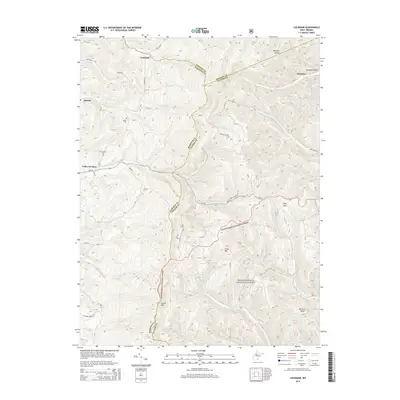 2014 Colebank2014 Print · USGSThe Preston, Barbour, and Tucker county lines meet in this high-country West Virginia landscape as it appeared in the early 2010s. Local historians can trace family ties at Shiloh Cem and Mt Cassell Cem or locate the rural crossroads of Colebank and Valley Furnace.
 - 2014 Map of Audra, 2014 Print
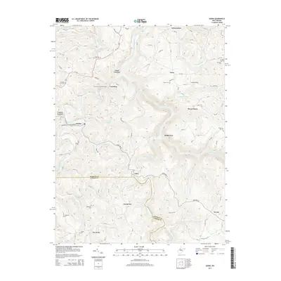 2014 Audra2014 Print · USGSThe river forks of Barbour and Upshur counties are mapped here in the early twenty-first century, showing a landscape of deep hollows and rural settlements. Genealogists can locate family burial sites like Oldaker Cem and Bethany Cem or trace the historic Carrollton Covered Bridge.
 - 2014 Map of Century, 2014 Print
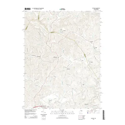 2014 Century2014 Print · USGSUpshur and Barbour counties come together in this detailed study of West Virginia's hilly interior during the early 2010s. Researchers can locate family landmarks like Rohrbough Cem and trace the old road networks through Hodgesville and Kesling Mill.
 - 2014 Map of Philippi, 2014 Print
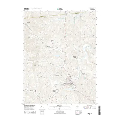 2014 Philippi2014 Print · USGSBarbour County in the early twenty-first century reveals a landscape shaped by the Tygart Valley River and its historical crossings. Researchers can trace ancestral locations through the Old Quaker Cem, explore the grounds of Alderson Broaddus Coll, or locate the iconic Philippi Covered Bridge.
 - 2014 Map of Nestorville, 2014 Print
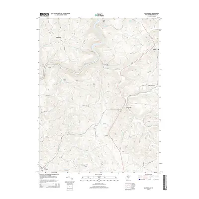 2014 Nestorville2014 Print · USGSBarbour County’s rugged hills and the upper reaches of the Tygart River system are documented here in the early twenty-first century. Local historians can trace family roots through sites like Fairview Cem, the historic Arden Truss Bridge, and the community of Nestorville.
 - 2014 Map of Junior, 2014 Print
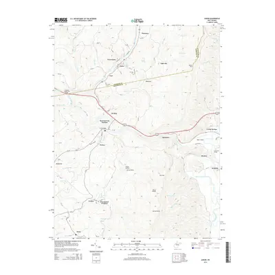 2014 Junior2014 Print · USGSThe Tygart Valley at the Randolph and Barbour county line comes into focus in this contemporary survey of West Virginia's mountain communities. Researchers can trace the layout of small settlements like Coalton, Junior, and Norton alongside the Mtn View Cem.
 - 2014 Map of Belington, 2014 Print
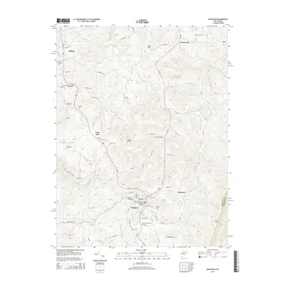 2014 Belington2014 Print · USGSThe Tygart Valley River valley in the early 21st century remains a place of deep mountain heritage and commemorative history. Researchers can trace family landmarks and historical sites from the Laurel Hill Confederate Grave to Wilmoth Ford and Jerusalem Cem.
 - 2014 Map of Grafton, 2014 Print
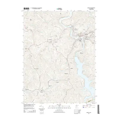 2014 Grafton2014 Print · USGSGrafton and the surrounding Taylor County hills are shown here during the early twenty-first century, anchored by the river and the railroad. Genealogists can trace family names and locations at the W Virginia National Cem, Pruntytown, and Simpson Cem.
Showing maps 1-25 of 52
Top cities of Barbour County
Frequently asked questions
- What are the different types of historical maps available for Barbour County?
- What is the oldest map of Barbour County?
- Where can I purchase historical maps of Barbour County for my home or office?
- Where can I download high-res historical maps of Barbour County?
- Are there historical topographic maps available for Barbour County?
- Is there historical aerial imagery available for Barbour County?
- Where are historical maps of Barbour County sourced from?