2010s Maps of Berkeley County, West Virginia
Explore 44 historic maps of Berkeley County from the 2010s. These maps offer a rare glimpse into what life looked like during the 2010s — showing old roads, neighborhoods, homes, and landmarks that have changed or disappeared over time.
Whether you're researching your family's past, planning a metal detecting trip, or studying how Berkeley County's landscape evolved across the 2010s, these high-resolution maps are a powerful tool for exploring the history of this region.
- Focus on a specific era: All maps on this page are from the 2010s, giving you a focused view of this time period.
- See what’s changed: Compare century-old streets, trails, and buildings to today's modern landscape using overlays and satellite layers.
- Research with precision: Use these maps for genealogy, historical research, land use analysis, or educational projects.
- View, download, or print: Maps are fully viewable online in high resolution, and can be downloaded or printed for your own records.
Start exploring Berkeley County's history through authentic maps from the 2010s. This is your window into the past.
Berkeley County, WV maps
(44)- 2010 Map of Middleway, 2010 Print
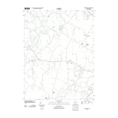 2010 Middleway2010 Print · USGSJefferson County’s rural landscape is documented here in the early 2000s, centered on the historic crossroads of Middleway. Researchers can trace family history at the Washington Burial Ground or locate old water crossings like Dandridges Ford and Whitmores Ford.
 - 2010 Map of Martinsburg, 2010 Print
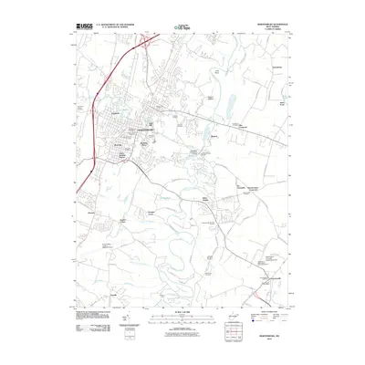 2010 Martinsburg2010 Print · USGSMartinsburg and its surrounding Berkeley County communities are captured here in the early twenty-first century as the city expanded southward. Genealogists and local historians can locate many burial sites like Old Norbourne Cemetery or trace the area's development near Boydville and Baker Heights.
 - 2011 Map of Stotlers Crossroads, 2011 Print
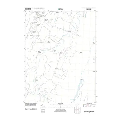 2011 Stotlers Crossroads2011 Print · USGSMorgan County is shown in the early twenty-first century as a landscape of rural crossroads and flood-control engineering. Researchers can trace family history through several local burial sites like Mount Olivet Cemetery or explore the drainage of Sleepy Creek and its namesake Sleepy Creek Lake.
 - 2011 Map of Inwood, 2011 Print
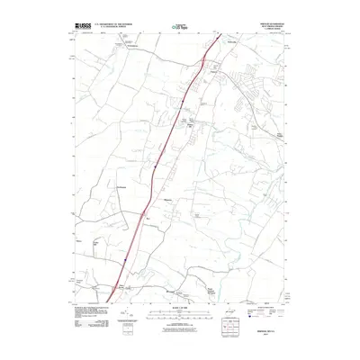 2011 Inwood2011 Print · USGSBerkeley County and the West Virginia-Virginia borderlands are captured here in the early twenty-first century as suburban growth meets rural heritage. Genealogists can trace family names and local sites from Gerrardstown to Brucetown, including the Hopewell Meetinghouse and Mountain View Cemetery.
 - 2011 Map of Glengary, 2011 Print
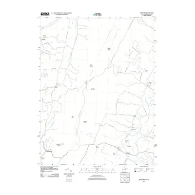 2011 Glengary2011 Print · USGSBerkeley County communities like Shanghai and Glengary are documented here in the early twenty-first century amidst the ridges of the Appalachians. Researchers can locate several burial sites and local landmarks, including Mount Carmel Cemetery, Roe Chapel Cemetery, and Michaels Farm Airport.
 - 2011 Map of Tablers Station, 2011 Print
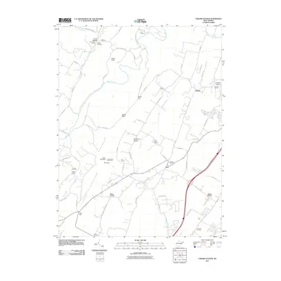 2011 Tablers Station2011 Print · USGSBerkeley County settlement patterns and religious history are preserved here during the early twenty-first century. Researchers can trace family lineages through numerous local sites like the Old Quaker Cemetery, Tablers Station, and the Jones Springs Post Office.
 - 2011 Map of White Hall, 2011 Print
 2011 White Hall2011 Print · USGSFrederick County at the start of the 2010s shows a landscape of persistent rural character and established ridge-line settlements. Genealogists can trace family locations near White Hall and Grimes or find records at the Old Stone Church Cemetery.
 - 2011 Map of Big Pool, 2011 Print
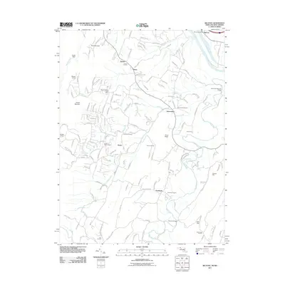 2011 Big Pool2011 Print · USGSBerkeley County, West Virginia, is shown here during a period of modern growth that preserves its deep-rooted rural character. Local historians can trace family ties through Johnsontown Cemetery, Providence Cemetery, and the old community at Tomahawk.
 - 2011 Map of Shepherdstown, 2011 Print
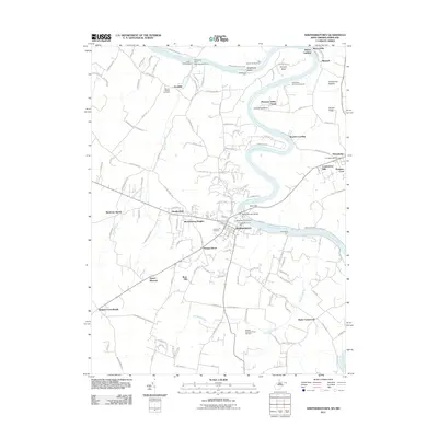 2011 Shepherdstown2011 Print · USGSShepherdstown and the Potomac River valley are captured here in the early twenty-first century as the region balanced its colonial heritage with modern growth. Genealogists can locate family landmarks like Mount Wesley Cemetery or trace historic river crossings at Pack Horse Ford and Shepherds Ford.
 - 2011 Map of Hedgesville, 2011 Print
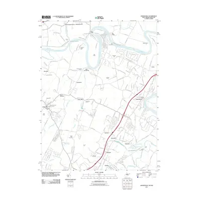 2011 Hedgesville2011 Print · USGSBerkeley County's Potomac riverfront is captured here in the early twenty-first century, showing a landscape defined by the historic canal and early settlements. Researchers can trace family sites at Old Falling Waters Cemetery, McCoys Ferry, and the old industrial site of Green Spring Furnace.
 - 2011 Map of Williamsport, 2011 Print
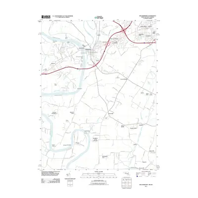 2011 Williamsport2011 Print · USGSMaryland's Potomac River valley is documented here in the early 2000s, showing the intersection of historic canal heritage and modern transit. Genealogists and historians can trace the Chesapeake and Ohio Canal through Williamsport and locate family sites like Bnai Abraham Cemetery and Mount Moriah.
 - 2013 Map of White Hall, 2013 Print
 2013 White Hall2013 Print · USGSNorthwestern Virginia communities and the ridges of the Shenandoah Valley are documented here in the early twenty-first century. Genealogists and local historians can trace family-named sites and landmarks like Apple Pie Ridge, Baileys Ford, and Sir John Addition.
 - 2014 Map of Inwood, 2014 Print
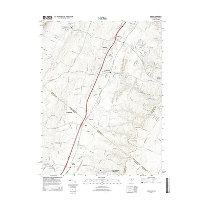 2014 Inwood2014 Print · USGSThe West Virginia and Virginia borderlands come alive in this mid-2010s survey of the Opequon Creek watershed. Researchers can trace ancestral sites like Morgan Chapel Cem, the Hopewell Meeting House Graveyard, and the historic streets of Gerrardstown.
 - 2014 Map of Tablers Station, 2014 Print
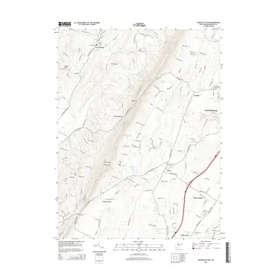 2014 Tablers Station2014 Print · USGSBerkeley County's western ridges and valley settlements are captured here as modern development meets historic crossroads. Researchers can trace family roots through numerous burial grounds like Jacob Snider Cemetery and Providence Quaker Cemetery, or explore the springs at Jones Springs and Arden.
 - 2014 Map of Stotlers Crossroads, 2014 Print
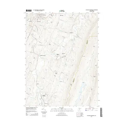 2014 Stotlers Crossroads2014 Print · USGSMorgan County is shown here in the early twenty-first century, revealing a rural landscape of ridges and creek-bottom settlements. Researchers can locate numerous family and community burial sites like Duckwall Cem and landmarks such as Johnsons Mill and Posey Hollow.
 - 2014 Map of Glengary, 2014 Print
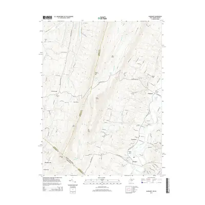 2014 Glengary2014 Print · USGSBerkeley County, West Virginia, and the Virginia borderlands are captured here in the early twenty-first century, showing a landscape of steep ridges and creek-fed valleys. Researchers can trace rural lineages through the Shanghai Sulphur Well Spring and numerous family burial sites like Ganotown Cem and Central Chapel Cem.
 - 2014 Map of Martinsburg, 2014 Print
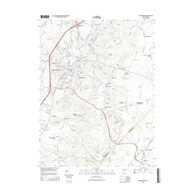 2014 Martinsburg2014 Print · USGSMartinsburg and its surrounding Berkeley County hamlets are captured here during a period of modern expansion balanced with deep-seated heritage. Researchers can locate numerous ancestral sites like Old Norbourne Cem and the Old Stone Bridge Cem near Blairton.
 - 2014 Map of Middleway, 2014 Print
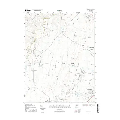 2014 Middleway2014 Print · USGSJefferson County’s historic agricultural and spring-fed landscapes are captured here as they appeared in the early twenty-first century. Researchers can locate family landmarks like the Washington Burial Ground, trace water sources like Bullskin Run, or explore the limits of Middleway and Summit Point.
 - 2014 Map of Shepherdstown, 2014 Print
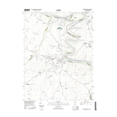 2014 Shepherdstown2014 Print · USGSThe Potomac River corridor at Shepherdstown is captured here in the early twenty-first century, showing the historic town alongside its expansive canal park. Genealogists and historians can locate numerous family burial grounds, such as Shepherds Graveyard and the Buckles-Reverend Black Cem, or trace the many springs like Rippling Spring that shaped local settlement.
 - 2014 Map of Hedgesville, 2014 Print
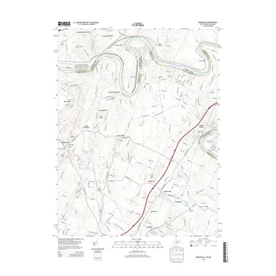 2014 Hedgesville2014 Print · USGSBerkeley County and the Maryland border are captured here in the early 21st century as modern development meets historic river infrastructure. Trace family heritage at Old Falling Waters Cem or explore the canal heritage at Four Locks and Millers Bend.
 - 2014 Map of Big Pool, 2014 Print
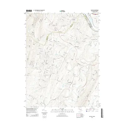 2014 Big Pool2014 Print · USGSBerkeley County in the early 2010s remains a landscape of high ridges and rural settlements tied to the winding Back Creek. Researchers can trace local heritage through several burial grounds like Tomahawk Cem and landmarks such as Providence Church and Big Pool.
 - 2014 Map of Williamsport, 2014 Print
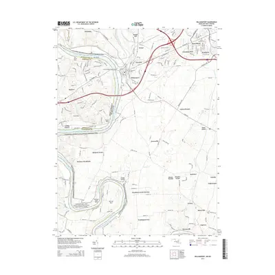 2014 Williamsport2014 Print · USGSThe Potomac River forms a complex boundary between Maryland and West Virginia in this 2014 survey. Local researchers can trace family history through sites like Saint Augustines Graveyard or explore the engineering of the Conococheague Creek Aqueduct.
 - 2016 Map of White Hall, 2016 Print
 2016 White Hall2016 Print · USGSFrederick County at the West Virginia border remains a landscape of ridge-top orchards and valley hamlets. Local historians can trace family roots at Old Stone Church Cem or map the old roads through White Hall, Cedar Grove, and Grimes.
 - 2016 Map of Martinsburg, 2016 Print
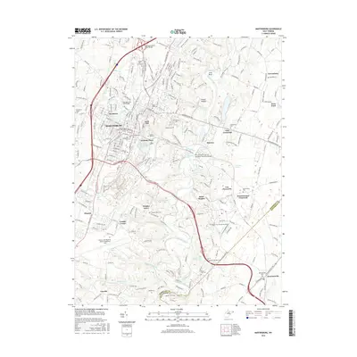 2016 Martinsburg2016 Print · USGSThe Martinsburg area during the mid-2010s shows a landscape of growing suburban centers and preserved rural crossroads. Genealogists can find numerous historic burial sites, including the Providence Quaker Cem and Saint Josephs Cem.
 - 2016 Map of Shepherdstown, 2016 Print
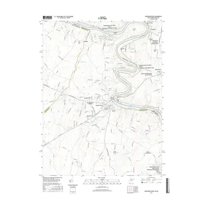 2016 Shepherdstown2016 Print · USGSThe Potomac River borderlands near Shepherdstown are captured here during a period of modern preservation and historical reflection. Genealogists can trace ancestral sites at Elmwood Cem, Shepherds Graveyard, or along the banks of Town Run.
Showing maps 1-25 of 44
Top cities of Berkeley County
Frequently asked questions
- What are the different types of historical maps available for Berkeley County?
- What is the oldest map of Berkeley County?
- Where can I purchase historical maps of Berkeley County for my home or office?
- Where can I download high-res historical maps of Berkeley County?
- Are there historical topographic maps available for Berkeley County?
- Is there historical aerial imagery available for Berkeley County?
- Where are historical maps of Berkeley County sourced from?