2020s Maps of Boone County, West Virginia
Explore 17 historic maps of Boone County from the 2020s. These maps offer a rare glimpse into what life looked like during the 2020s — showing old roads, neighborhoods, homes, and landmarks that have changed or disappeared over time.
Whether you're researching your family's past, planning a metal detecting trip, or studying how Boone County's landscape evolved across the 2020s, these high-resolution maps are a powerful tool for exploring the history of this region.
- Focus on a specific era: All maps on this page are from the 2020s, giving you a focused view of this time period.
- See what’s changed: Compare century-old streets, trails, and buildings to today's modern landscape using overlays and satellite layers.
- Research with precision: Use these maps for genealogy, historical research, land use analysis, or educational projects.
- View, download, or print: Maps are fully viewable online in high resolution, and can be downloaded or printed for your own records.
Start exploring Boone County's history through authentic maps from the 2020s. This is your window into the past.
Boone County, WV maps
(17)- 2023 Map of Williams Mountain, 2023 Print
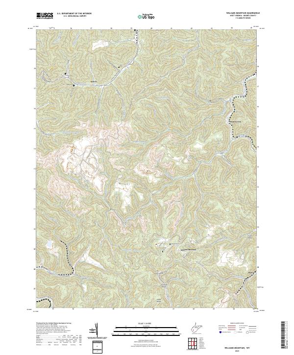 2023 Williams Mountain2023 Print · USGSThe West Virginia coalfields near Williams Mountain and Prenter appear in this recent survey. Genealogists and local historians can locate remote family burial sites like Jarrells Cem and Miller Cem or trace the winding course of Drawdy Creek.
 - 2023 Map of Julian, 2023 Print
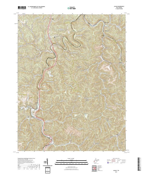 2023 Julian2023 Print · USGSThe Little Coal River valley comes into focus during this modern era of West Virginia history. Genealogists and local historians can trace small settlements and family burial sites like Horse Creek Junction, Pate Cem, and Moore Cem.
 - 2023 Map of Racine, 2023 Print
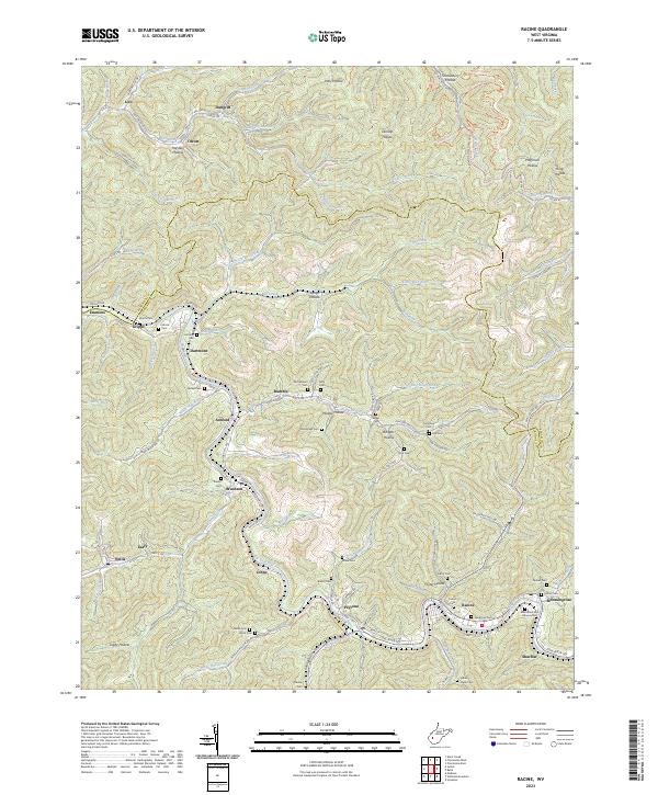 2023 Racine2023 Print · USGSThe coal country of Boone County comes into focus in this recent survey of the Big Coal River valley. Genealogists and historians can trace the deep-rooted settlements of Peytona and Racine, while locating family landmarks like the Javins Cem and Ashford Sch.
 - 2023 Map of Griffithsville, 2023 Print
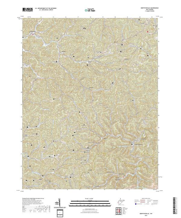 2023 Griffithsville2023 Print · USGSLincoln County's hollows and ridgelines are captured here in recent detail, showing a landscape shaped by the Mud River and its many forks. Researchers can locate dozens of family burial sites such as Midkiff Cem and Stowers Cem alongside settlements like Griffithsville and Yawkey.
 - 2023 Map of Mud, 2023 Print
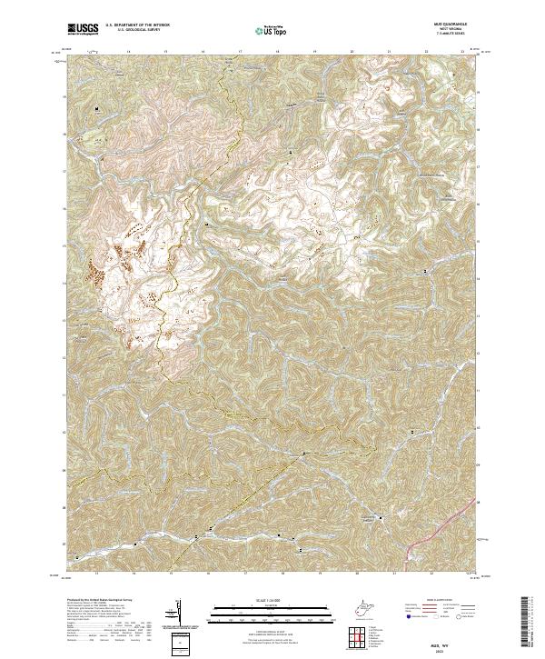 2023 Mud2023 Print · USGSThe West Virginia coal country at the intersection of Boone, Lincoln, and Logan counties is documented here in the early 2020s. Genealogists can locate numerous family burial sites, including Smith Cem, Miller Cem, and the Vickers Cem near North Fork Big Creek.
 - 2023 Map of Madison, 2023 Print
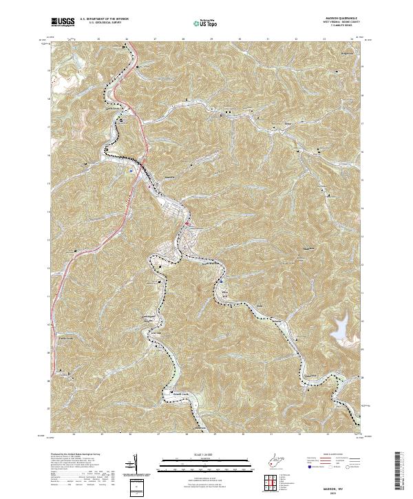 2023 Madison2023 Print · USGSCentral Boone County is shown here in the 2020s, centered on the historic river confluence at Madison and Danville. Genealogists can trace family heritage through dozens of named burial sites like Riley Hill Cem, Halstead Cem, and Jarrell Cem.
 - 2023 Map of Belle, 2023 Print
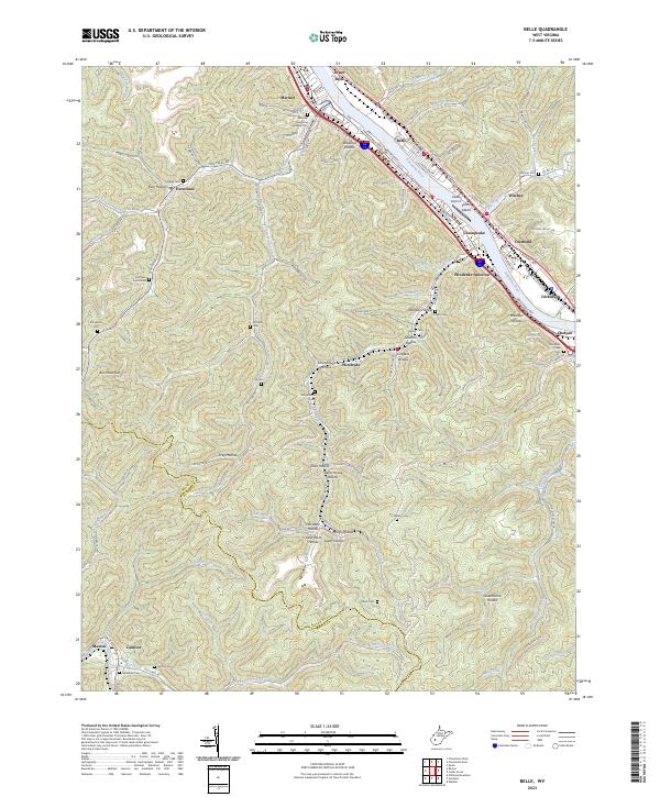 2023 Belle2023 Print · USGSThe Kanawha River valley comes alive in this contemporary record of its industrial towns and storied hollows. Genealogists can trace family lineages through Marmet Memorial Gardens Cem, Hoffman Cemeteries, and remote settlements like Winifrede and Comfort.
 - 2023 Map of Eskdale, 2023 Print
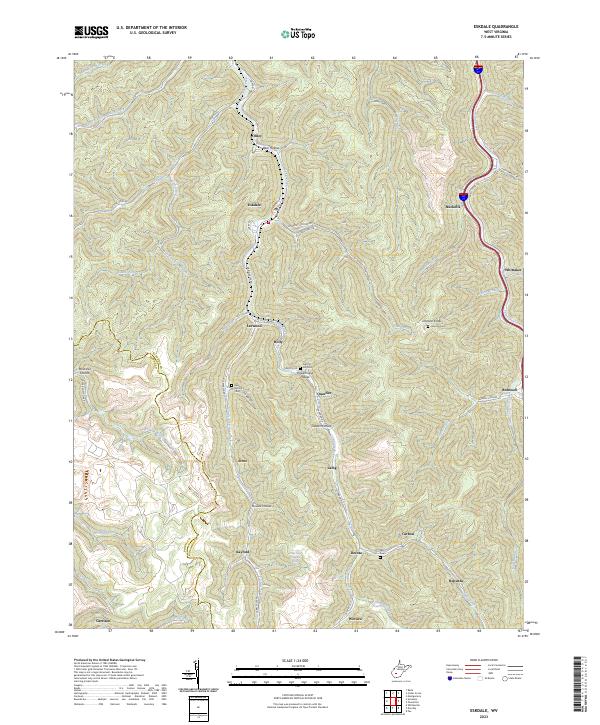 2023 Eskdale2023 Print · USGSThe coal country of Kanawha County is seen here in the early 2020s, showing the enduring layout of valley-bound mountain settlements. Researchers can trace family sites like Red Warrior Cem or Johnson Cem and locate communities from Eskdale to Kayford.
 - 2023 Map of Sylvester, 2023 Print
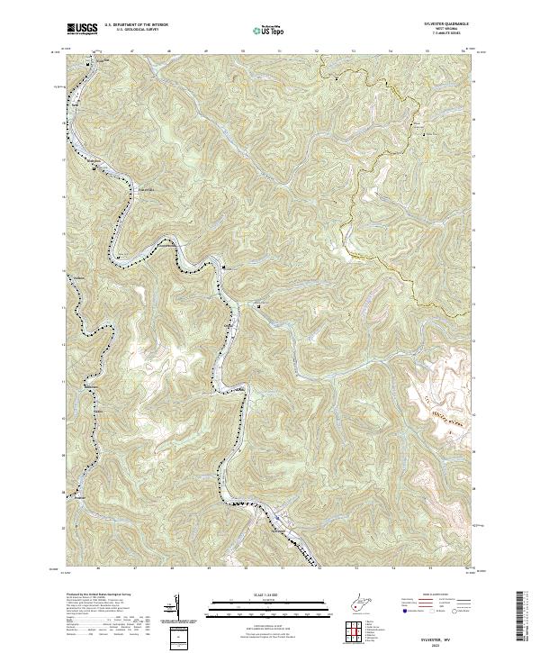 2023 Sylvester2023 Print · USGSBoone County's coal branch communities are captured here along the Big Coal River in the early 2020s. Genealogists and historians can trace family locations through numerous sites like Mount Hope Cem, Prenter, and Fosterville.
 - 2023 Map of Amherstdale, 2023 Print
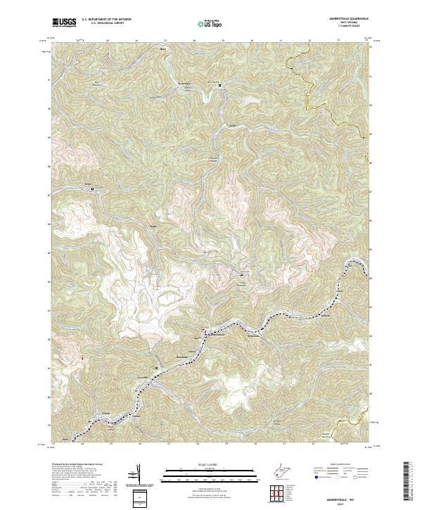 2023 Amherstdale2023 Print · USGSThe West Virginia coalfields of Logan County come into sharp focus in this recent survey. Genealogists can trace ancestral sites at Yolyn Community Cem and Riley Cem, or explore mountain settlements like Amherstdale and Braeholm.
 - 2023 Map of Whitesville, 2023 Print
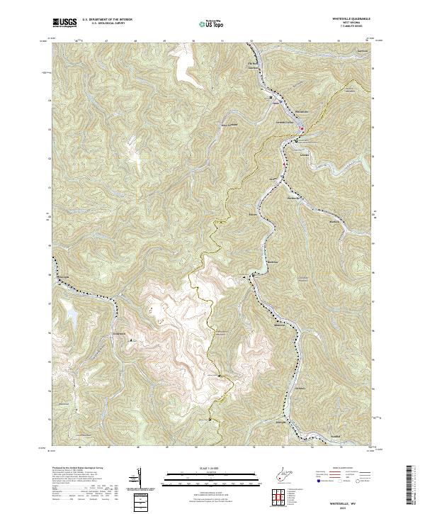 2023 Whitesville2023 Print · USGSThe coalfields of Boone and Raleigh counties are captured here in the early 2020s, showing the deep valley communities along the Marsh Fork. Local researchers can locate family sites like Bailey Cem or the Jarrolds Valley Presbyterian Church Cem near Whitesville.
 - 2023 Map of Dorothy, 2023 Print
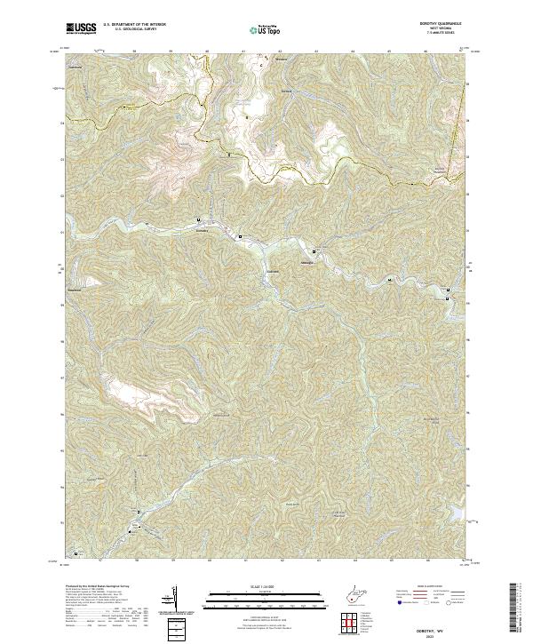 2023 Dorothy2023 Print · USGSThe West Virginia coalfields are revealed in detail through this study of the hollows and ridges where Boone, Kanawha, and Raleigh counties meet. Genealogists can locate family landmarks like the Stanley Cemeteries, Hill Cem, and the settlement of Dorothy.
 - 2023 Map of Pilot Knob, 2023 Print
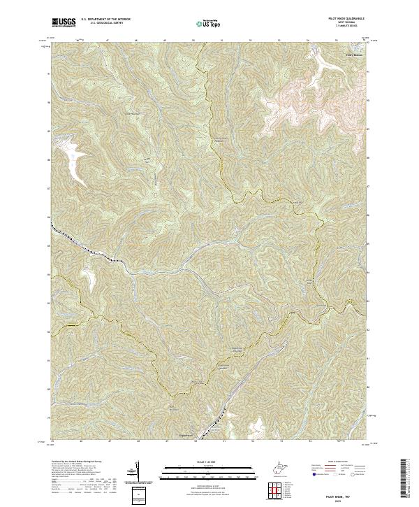 2023 Pilot Knob2023 Print · USGSThe high ridges of Boone and Wyoming counties are documented here in the early 2020s, showing a landscape defined by steep peaks and coal-country valleys. Genealogists and hikers can locate Jarrells Flats, the Kimbell Water Works Spring, and the prominent Pilot Knob.
 - 2023 Map of Clothier, 2023 Print
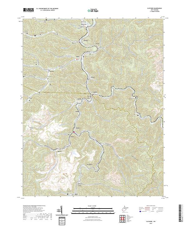 2023 Clothier2023 Print · USGSSpanning the Boone and Logan county line in the early twenty-first century, this area reveals a landscape defined by coal country hollows. Genealogists and historians can trace family burial sites like Hager Cem and Adkins Cem near settlements such as Sharples and Greenview.
 - 2023 Map of Wharton, 2023 Print
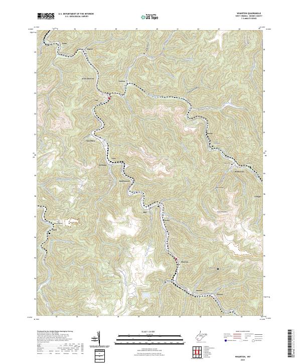 2023 Wharton2023 Print · USGSBoone County's southern coalfield valleys are shown here in modern detail, where small communities follow the winding path of Pond Fork. Researchers can trace family sites at Stark Cem and Greene Cem or locate old settlements like Kohlsaat and Bim.
 - 2023 Map of Henlawson, 2023 Print
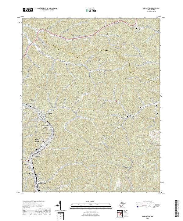 2023 Henlawson2023 Print · USGSLogan County, West Virginia, is shown here as a landscape of river-valley communities and steep coal-country ridges in the early 2020s. Researchers can locate numerous family burial sites and hollows, such as Peach Creek Cem, Manila, and Big Dark Hollow.
 - 2023 Map of Lorado, 2023 Print
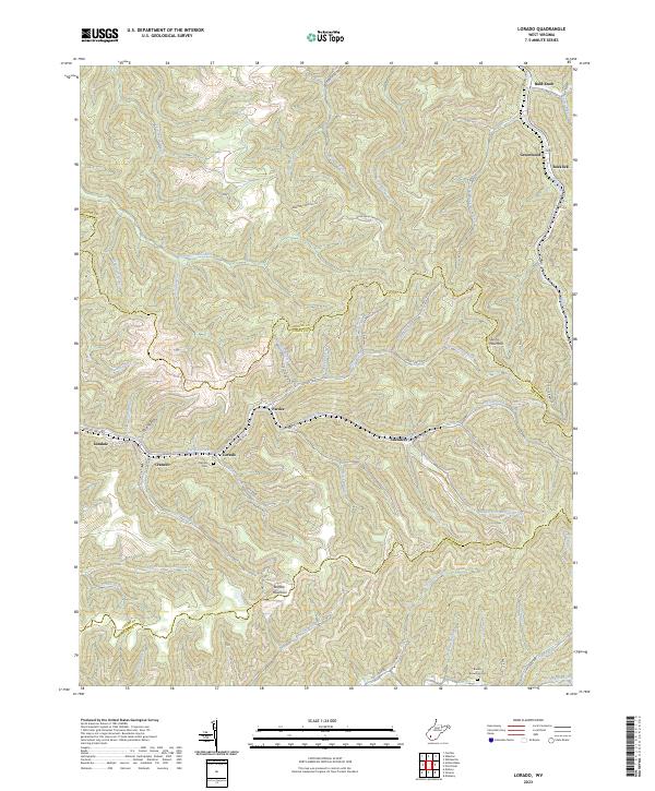 2023 Lorado2023 Print · USGSThe coal valleys of Boone and Logan counties are mapped here in the early 2020s, showing the enduring settlement patterns along Buffalo Creek. Local history researchers can trace family landmarks like Daniels Cem and settlements such as Lorado and Pardee.
End of results
Showing maps 1-17 of 17
Top cities of Boone County
Frequently asked questions
- What are the different types of historical maps available for Boone County?
- What is the oldest map of Boone County?
- Where can I purchase historical maps of Boone County for my home or office?
- Where can I download high-res historical maps of Boone County?
- Are there historical topographic maps available for Boone County?
- Is there historical aerial imagery available for Boone County?
- Where are historical maps of Boone County sourced from?