Old Maps of Estep, West Virginia for Metal Detecting
Plan your next treasure hunt with 16 historic maps of Estep. Find old homesites, ghost towns, trails, and gathering spots that may be lost to time — perfect for identifying promising metal detecting locations.
- Locate forgotten sites: Uncover places like long-lost settlements, abandoned rail lines, or gathering spots.
- Plan better hunts: Use map overlays combined with LiDAR or satellite views to narrow in on historically rich areas.
- Made for detectorists: Thousands of hobbyists use these maps to discover relics, coins, and hidden history.
Use these historic maps to boost your research and find new opportunities beneath the surface of Estep.
Estep, WV maps
(16)- 1899 Map of Charleston
 1899 Charleston1899 Print · USGSWest Virginia's capital and the surrounding coalfields are documented here during the late nineteenth-century industrial boom. Researchers can trace early mining operations at the Graham Mines and follow pioneer rail lines like the Winifrede R. R. through the rugged river hollows.6 unique versions available
 - 1911 Map of Madison
 1911 Madison1911 Print · USGSBoone and Lincoln counties appear here in the early twentieth century as the rail network began to reshape the coal-bearing valleys. Researchers can trace early infrastructure through the Chesapeake and Ohio line and settlements like Madison, Uneeda, and Danville.2 unique versions available
 - 1929 Map of Madison, 1960 Print
 1929 Madison1960 Print · USGSThe Coal River valley in the late twenties reveals a landscape of industrial rail and rural schoolhouses. Genealogists can trace family footprints through numerous local sites like Julian, Uneeda, and Pine Grove Ch, or the many scattered schools such as Slabtown Sch.
 - 1931 Map of Madison
 1931 Madison1931 Print · USGSMadison and Danville center this Depression-era study of the Coal River valley as the railroad and timber industries shaped the landscape. Genealogists can locate dozens of country schools and churches, including Pine Grove Ch, Slabtown Sch, and the Pinnacle Tunnel.3 unique versions available
 - 1954 Map of Charleston
 1954 Charleston1954 Print · USGSWest Virginia’s industrial heart and mountain highlands are captured here during the mid-fifties, centered on the capital city. Researchers can trace historic river-and-rail corridors along the Kanawha River and locate remote peaks within the Monongahela National Forest.
 - 1957 Map of Charleston, 1966 Print
 1957 Charleston1966 Print · USGSMid-century West Virginia unfolds along the industrial Kanawha River valley and into the high Allegheny Mountains. Genealogists and historians can trace the vital rail lines of the Chesapeake and Ohio and locate riverside settlements from Saint Albans to Buckhannon.3 unique versions available
 - 1958 Map of Charleston
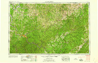 1958 Charleston1958 Print · USGSMid-century West Virginia is defined here by the industrial corridor of the Kanawha River and the high ridges of the Allegheny Mountains. Researchers can trace the rail networks of the New York Central or locate remote highland communities like Pickens and Hillsboro.
 - 1961 Map of Charleston
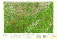 1961 Charleston1961 Print · USGSWest Virginia's capital region and the highlands to the east are shown in detail during the early sixties. Genealogists and historians can trace rail networks like the Baltimore and Ohio RR and find early state parks such as Watoga State Park.
 - 1962 Map of Mud, 1964 Print
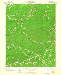 1962 Mud1964 Print · USGSBoone County and its neighboring hollows are shown during the early 1960s, a time when coal and gas extraction deeply shaped the mountain landscape. Genealogists can locate family landmarks like Stanley Cem and Vickers Cem, or trace early community sites such as Mud Sch and North Fork Ch.2 unique versions available
 - 1984 Map of Charleston
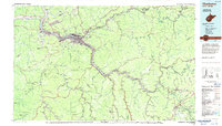 1984 Charleston1984 Print · USGSWest Virginia's capital and the industrial Kanawha Valley are shown here in the mid-eighties as modern interstates began to reshape the region. Local researchers can locate family-named landmarks like Reamer (Sybial PO) and institutional anchors like West Virginia State College.2 unique versions available
 - 1996 Map of Mud, 2002 Print
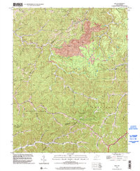 1996 Mud2002 Print · USGSBoone County and the surrounding coalfields are captured in the mid-1990s, showing a landscape shaped by narrow hollows and industry. Researchers can trace family roots through several upland burial sites like Baisden Cem and Stanley Cem, or locate the old Stanley Sch and Mud Sch.
 - 2011 Map of Mud, 2011 Print
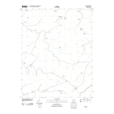 2011 Mud2011 Print · USGSBoone County and the hollows of the Mud River are documented here in the early twenty-first century. Genealogists can locate numerous family landmarks like Tawney Cemetery and Miller Cemetery, alongside industrial features like the Jack Smith Branch Refuse Bank Dam.
 - 2014 Map of Mud, 2014 Print
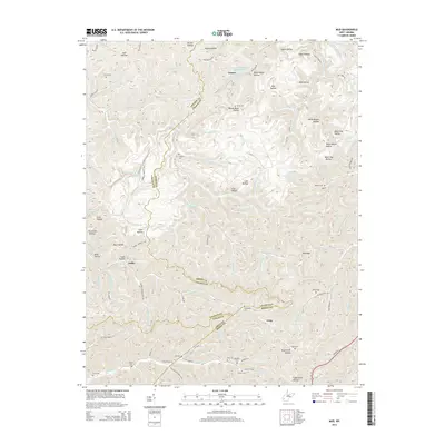 2014 Mud2014 Print · USGSThe West Virginia borderlands of Lincoln, Boone, and Logan Counties are captured here in the mid-2010s. Genealogists can locate numerous family burial sites like Smith Cem and Tawney Cem near the settlements of Dollie and Cameo.
 - 2016 Map of Mud, 2016 Print
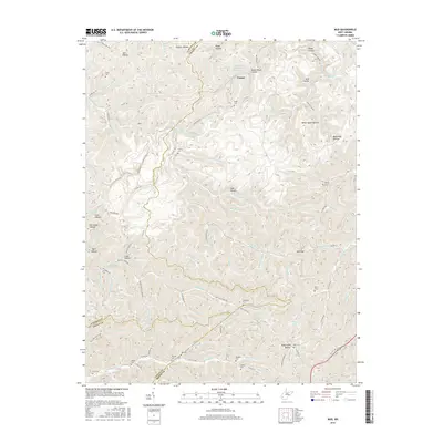 2016 Mud2016 Print · USGSThe West Virginia coalfields come into focus in this modern survey of the Boone, Lincoln, and Logan County borderlands. Researchers can locate numerous family burial grounds including Smith Cemetery and Antill Cemetery or trace the winding course of the Mud River.
 - 2019 Map of Mud, 2019 Print
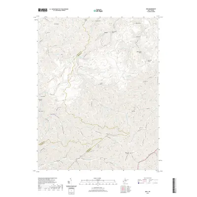 2019 Mud2019 Print · USGSThe tri-county border area of Lincoln, Boone, and Logan counties is captured here in recent years, showing a landscape defined by the Mud River. Researchers can locate numerous family burial grounds like Ellis Cem and Chapman Cem tucked away in hollows near Cameo.
 - 2023 Map of Mud, 2023 Print
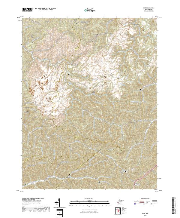 2023 Mud2023 Print · USGSThe West Virginia coal country at the intersection of Boone, Lincoln, and Logan counties is documented here in the early 2020s. Genealogists can locate numerous family burial sites, including Smith Cem, Miller Cem, and the Vickers Cem near North Fork Big Creek.
End of results
Showing maps 1-16 of 16
Top cities near Estep
- Madison historical maps
- Logan historical maps
- Chapmanville historical maps
- Holden historical maps
- Danville historical maps
- Verdunville historical maps
See more
Frequently asked questions
- What are the different types of historical maps available for Estep?
- What is the oldest map of Estep?
- Where can I purchase historical maps of Estep for my home or office?
- Where can I download high-res historical maps of Estep?
- Are there historical topographic maps available for Estep?
- Is there historical aerial imagery available for Estep?
- Where are historical maps of Estep sourced from?