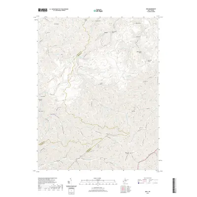
2019 Map of Mud
USGS Topo · Published 2019About this map
The Mud River and its intricate drainage network define the topography of this corner of West Virginia, where the borders of Lincoln, Logan, and Boone counties meet. The small settlement of Cameo sits near the headwaters, surrounded by a landscape carved into numerous hollows such as Gritter Hollow, Boone Block Hollow, and Black Hog Hollow. Family history and local genealogy are deeply rooted in this terrain, as evidenced by the high density of hilltop and valley cemeteries, including Smith Cem, Stanley Cem, Antill Cem, and Tawney Cem.
Find a feature on this map
112 named features on this map. Tap any name to fly to it.
Don’t see what you’re looking for? This feature index may not catch every label — zoom into the map to look around manually.
Map Details
Editions of this 2019 Mud Map
This is the sole edition of this map. No revisions or reprints were ever made.
Other maps of this area

1887 · Warfield
USGS Topo · 1:125,000

1891 · Oceana
USGS Topo · 1:125,000

1891 · Warfield
USGS Topo · 1:125,000

1892 · Huntington
USGS Topo · 1:125,000

1893 · Oceana
USGS Topo · 1:125,000

1898 · Huntington
USGS Topo · 1:125,000

1898 · Oceana
USGS Topo · 1:125,000

1899 · Charleston
USGS Topo · 1:125,000

1902 · Midkiff
USGS Topo · 1:62,500

1907 · Midkiff
USGS Topo · 1:62,500