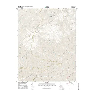
2016 Map of Mud
USGS Topo · Published 2016About this map
The Mud River and its labyrinthine drainage system define this portion of the West Virginia coalfields where Boone, Lincoln, and Logan Counties converge. The small settlement of Cameo is situated along the northern reaches of the river, while the surrounding landscape is marked by deep hollows such as Gritter Hollow, Black Hog Hollow, and Sugarcamp Hollow. This 2016 survey illustrates how human activity in the region follows the narrow valley floors and ridgeline gaps, with roads like Co Hwy 10 and Co Hwy 46 threading through the topography. Genealogy is central to this map's detail, documenting numerous family-named burial sites including Smith Cem, Stanley Cem, and Tawney Cem. The presence of the Jack Smith Branch Impoundment and several coal-related hollow names, such as Coal Hollow, highlights the industrial character of the Appalachian terrain.
Find a feature on this map
109 named features on this map. Tap any name to fly to it.
Don’t see what you’re looking for? This feature index may not catch every label — zoom into the map to look around manually.
Map Details
Editions of this 2016 Mud Map
This is the sole edition of this map. No revisions or reprints were ever made.
Other maps of this area

1887 · Warfield
USGS Topo · 1:125,000

1891 · Oceana
USGS Topo · 1:125,000

1891 · Warfield
USGS Topo · 1:125,000

1892 · Huntington
USGS Topo · 1:125,000

1893 · Oceana
USGS Topo · 1:125,000

1898 · Huntington
USGS Topo · 1:125,000

1898 · Oceana
USGS Topo · 1:125,000

1899 · Charleston
USGS Topo · 1:125,000

1902 · Midkiff
USGS Topo · 1:62,500

1907 · Midkiff
USGS Topo · 1:62,500