Old Maps of East Kingston, West Virginia for Genealogy
Trace your family roots with 18 historic maps of East Kingston. These high-res maps reveal old neighborhoods, homesites, landmarks, and streets — helping you uncover where your ancestors lived and how the area evolved over time.
- Explore historic neighborhoods: Identify where your relatives may have lived in the 1800s or 1900s.
- Compare maps over time: Trace the changes in streets, buildings, and landmarks for multi-generational research.
- Perfect for genealogy & ancestry research: Used by family historians and researchers to map out lineage and migration.
These maps are an incredible resource for exploring your personal connection to East Kingston's past.
East Kingston, WV maps
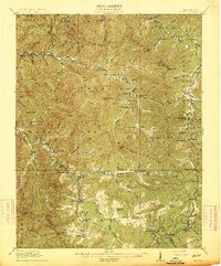
(18)- 1891 Map of Raleigh
 1891 Raleigh1891 Print · USGSRaleigh County and the New River Gorge are captured in the late nineteenth century during the initial rise of the coal industry. Genealogists can trace family holdings along Paint Creek or locate early river settlements such as Quinnimont and Fire Creek.
 - 1897 Map of Raleigh
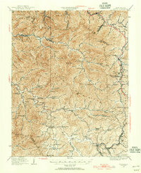
 1897 Raleigh1897 Print · USGSThe New River Gorge area at the height of the coal and rail boom comes to life on this late nineteenth-century sheet. Genealogists and historians can trace riverside rail stops like Thurmond and Glenjean, or explore the high-plateau settlement at Marshes P.O. (Trap Hill).
 - 1902 Map of Raleigh
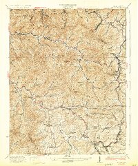
 1902 Raleigh1902 Print · USGSRaleigh County and the New River Gorge were entering their industrial peak when this survey was conducted in the late nineteenth century. Researchers can trace the early rail network of the CHESAPEAKE AND OHIO RR through booming towns like Thurmond, Beury, and East Sewell.3 unique versions available
 - 1911 Map of Marshes
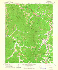
 1911 Marshes1911 Print · USGSRaleigh County and the surrounding highlands are shown just after the turn of the century, when mountain life centered on isolated creek hollows. Genealogists can trace family footprints through dozens of rural landmarks like Meadow Inn School, Matville P O, and Peachtree School.
 - 1914 Map of Eccles
 1914 Eccles1914 Print · USGSRaleigh County's mountain settlements and coal-country railways are captured here in the early twentieth century. Researchers can trace the heritage of rural communities through dozens of schoolhouses like White Rose School and local landmarks such as Meadow Inn or the Trap Hill Marshes PO.2 unique versions available
 - 1929 Map of Eccles, 1956 Print
 1929 Eccles1956 Print · USGSRaleigh and Fayette counties are captured here just before the Great Depression, showing a landscape defined by coal ridges and rural schoolhouses. Researchers can trace the roots of families near Eccles, Matville Church, and Lick Fork School.
 - 1932 Map of Eccles
 1932 Eccles1932 Print · USGSRaleigh County coal country during the height of the rail era features a dense network of mountain settlements and mining hollows. Trace family roots and vanished landmarks like Glen White, Lick Fork School, and the Sandlick Caperton School.3 unique versions available
 - 1955 Map of Bluefield
 1955 Bluefield1955 Print · USGSThe Central Appalachian borderlands come alive in the mid-fifties, showing the coal and rail networks connecting Bluefield to Beckley. Researchers can trace the industrial landscape of the New River Ordnance Plant and the terrain of Burkes Garden.
 - 1957 Map of Bluefield, 1967 Print
 1957 Bluefield1967 Print · USGSThe heart of Central Appalachia in the mid-fifties is defined by the winding rail lines and river valleys of the coalfields. Researchers can trace the industrial footprints of towns like Welch and Princeton or locate landmarks such as the Bluestone Reservoir and Claytor Lake.2 unique versions available
 - 1961 Map of Bluefield
 1961 Bluefield1961 Print · USGSThe coalfields and mountain ridges of southern West Virginia and southwest Virginia are captured in the early sixties. Genealogists can trace family ties through rail-linked towns like Princeton and Richlands or along the shores of Bluestone Reservoir.
 - 1965 Map of Pax, 1966 Print
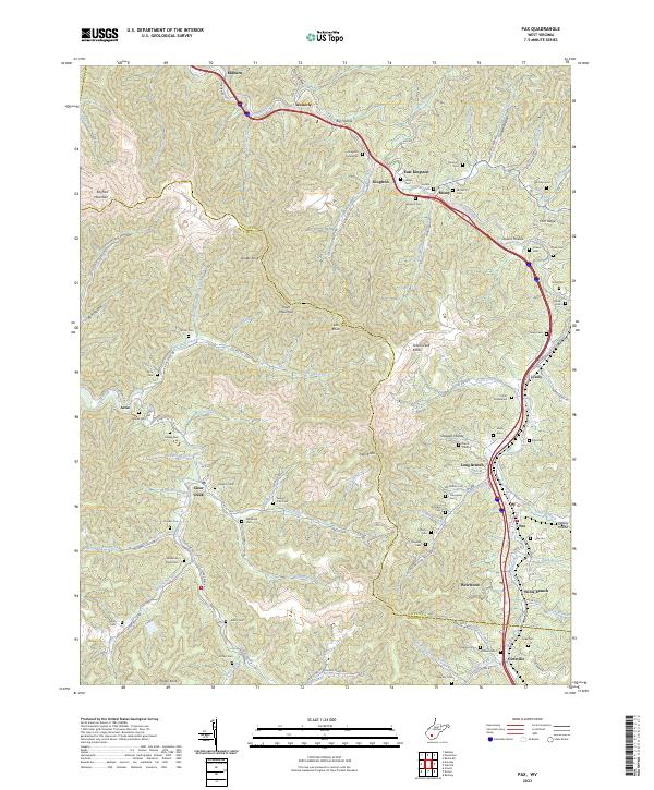
 1965 Pax1966 Print · USGSWest Virginia coal country was in full swing when this mid-sixties survey documented the junction of Fayette and Raleigh counties. Genealogists can trace family landmarks like Workman Cem and Pax Sch alongside the tracks of the Norfolk and Western rail line.3 unique versions available
 - 1982 Map of Beckley, 1984 Print
 1982 Beckley1984 Print · USGSSouthern West Virginia coal country is captured here in the early eighties as industrial heritage met new wilderness protections. Genealogists and historians can trace the rail-linked communities of Beckley, Oak Hill, and the coal camps near Macdonald.
 - 1996 Map of Pax, 2002 Print
 1996 Pax2002 Print · USGSWest Virginia coal country and the TOWN PLATEAU are documented here in the mid-nineties as modern highways intersected with traditional hollows. Researchers can locate dozens of family-named landmarks, from Workman Cem and Artie to the Toney Fork Ch.
 - 2011 Map of Pax, 2011 Print
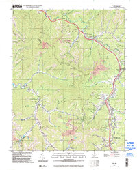
 2011 Pax2011 Print · USGSCovers East Kingston, including Pax, Cirtsville, and other nearby areas
 - 2014 Map of Pax, 2014 Print
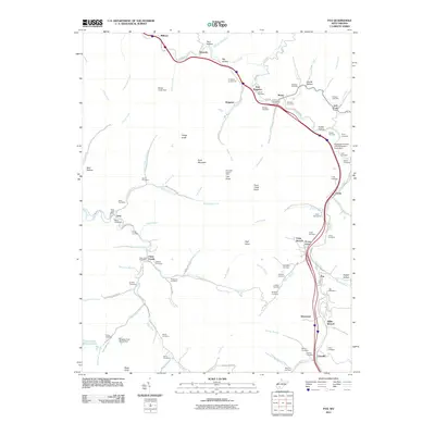
 2014 Pax2014 Print · USGSCovers East Kingston, including Pax, Cirtsville, and other nearby areas
 - 2016 Map of Pax, 2016 Print
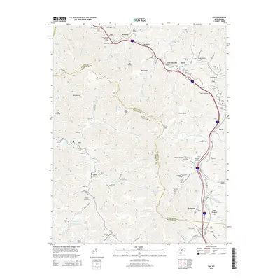
 2016 Pax2016 Print · USGSCovers East Kingston, including Pax, Cirtsville, and other nearby areas
 - 2019 Map of Pax, 2019 Print
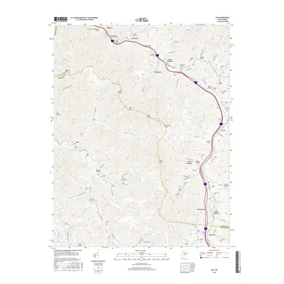
 2019 Pax2019 Print · USGSCovers East Kingston, including Pax, Cirtsville, and other nearby areas
 - 2023 Map of Pax, 2023 Print
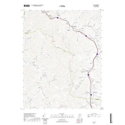
 2023 Pax2023 Print · USGSThe Fayette and Raleigh county line is captured here in the 2020s, showing the enduring coalfield communities along Paint Creek. Researchers can trace dozens of family burial sites like Lively Cem, Thompson Cem, and the Kingston Cemeteries.
End of results
Showing maps 1-18 of 18
Top cities near East Kingston
- Beckley historical maps
- Oak Hill historical maps
- Fayetteville historical maps
- Montgomery historical maps
- Ansted historical maps
- Mount Hope historical maps
See more
Frequently asked questions
- What are the different types of historical maps available for East Kingston?
- What is the oldest map of East Kingston?
- Where can I purchase historical maps of East Kingston for my home or office?
- Where can I download high-res historical maps of East Kingston?
- Are there historical topographic maps available for East Kingston?
- Is there historical aerial imagery available for East Kingston?
- Where are historical maps of East Kingston sourced from?