2010s Maps of Gilmer County, West Virginia
Explore 60 historic maps of Gilmer County from the 2010s. These maps offer a rare glimpse into what life looked like during the 2010s — showing old roads, neighborhoods, homes, and landmarks that have changed or disappeared over time.
Whether you're researching your family's past, planning a metal detecting trip, or studying how Gilmer County's landscape evolved across the 2010s, these high-resolution maps are a powerful tool for exploring the history of this region.
- Focus on a specific era: All maps on this page are from the 2010s, giving you a focused view of this time period.
- See what’s changed: Compare century-old streets, trails, and buildings to today's modern landscape using overlays and satellite layers.
- Research with precision: Use these maps for genealogy, historical research, land use analysis, or educational projects.
- View, download, or print: Maps are fully viewable online in high resolution, and can be downloaded or printed for your own records.
Start exploring Gilmer County's history through authentic maps from the 2010s. This is your window into the past.
Gilmer County, WV maps
(60)- 2010 Map of Tanner, 2010 Print
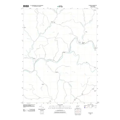 2010 Tanner2010 Print · USGSThe rural valleys and river bends of Gilmer County are captured here in the early twenty-first century. Genealogists can locate family burial sites like Holbert Cemetery and Turner Cemetery near the historic Tanner Post Office.
 - 2010 Map of Smithville, 2010 Print
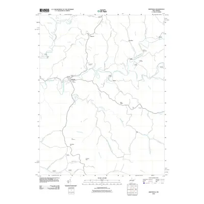 2010 Smithville2010 Print · USGSRitchie County at the start of the 2010s reveals a landscape of ridge-top roads and river-valley hamlets. Genealogists can trace family roots through numerous burial sites like Haught Cemetery, Reeves Cemetery, and the Betheny Churchyard.
 - 2010 Map of Cedarville, 2010 Print
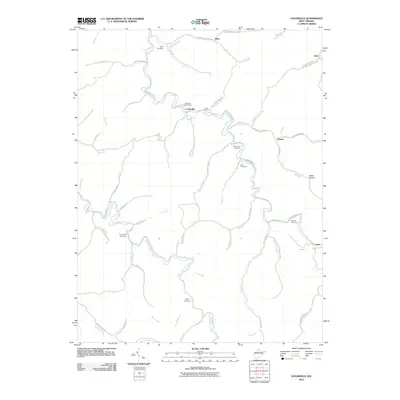 2010 Cedarville2010 Print · USGSThe West Virginia hills near Cedarville are mapped here in the early twenty-first century, showing a landscape deeply shaped by its many waterways. Researchers can locate numerous family burial sites like Rutherford Cemetery and Jack Cemetery among the quiet hollows of Cedar Creek.
 - 2010 Map of Glenville, 2010 Print
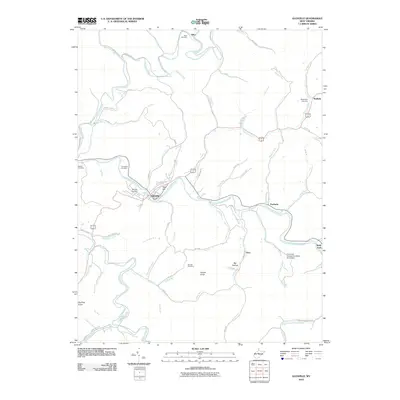 2010 Glenville2010 Print · USGSGilmer County at the turn of the decade shows a landscape defined by the winding Little Kanawha River and its many tributary runs. Researchers can trace family history through numerous burial sites like Stalnaker Cemetery or study the industrial footprint of the O'donnell Number Two Mine Slurry Dam.
 - 2010 Map of Peterson, 2010 Print
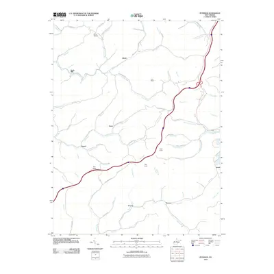 2010 Peterson2010 Print · USGSLewis County at the start of the 2010s reveals a network of valley settlements and hill ridges. Trace family history at Saint Bernard Cemetery or locate old sites at Bealls Mills, Finster, and Gillooly.
 - 2010 Map of Burnsville, 2010 Print
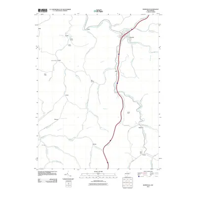 2010 Burnsville2010 Print · USGSBraxton County in the early twenty-first century remains a landscape of tightly clustered valley settlements and winding mountain roads. Researchers can trace rural infrastructure through the Heaters Post Office, the Right Hand Fork Cemetery, and family-named landmarks like Carter Hollow.
 - 2011 Map of Millstone, 2011 Print
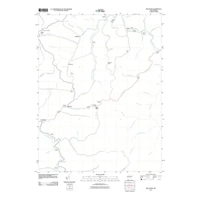 2011 Millstone2011 Print · USGSSouthern Calhoun County appears in the early 2000s as a land of tight-knit valley settlements and family-named landmarks. Genealogists can locate specific burial grounds like Sylvester Stump Cemetery and trace historical nodes at the Sand Ridge Post Office.
 - 2011 Map of Chloe, 2011 Print
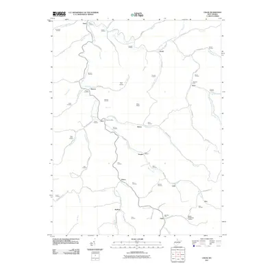 2011 Chloe2011 Print · USGSCalhoun County’s river valleys and mountain hollows are shown in detail during the early twenty-first century. Genealogists can trace family roots through dozens of local burial sites like Cooper Cemetery and Clark Jarvis Cemetery or locate old post offices in Minnora and Nebo.
 - 2011 Map of Grantsville, 2011 Print
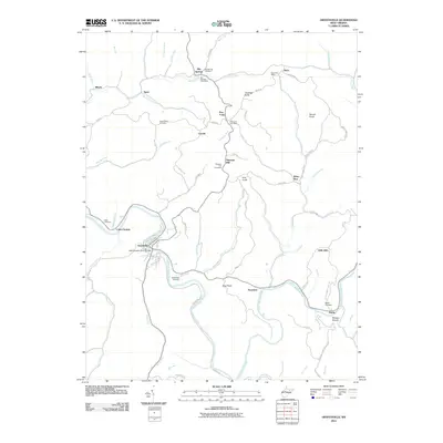 2011 Grantsville2011 Print · USGSGrantsville and the winding Little Kanawha River valley are captured here in the early twenty-first century. Researchers can locate numerous family burial sites such as Broomstick Cemetery and rural landmarks like the Five Forks Post Office.
 - 2011 Map of Normantown, 2011 Print
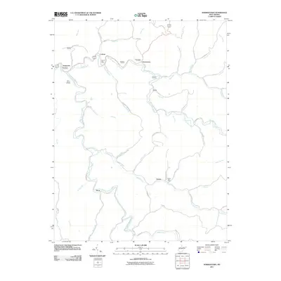 2011 Normantown2011 Print · USGSGilmer County life is centered on the valley floors of the Steer Creek forks in the early twenty-first century. Researchers can locate family landmarks and community centers including the Perkins Post Office, Mollahan Cemetery, and the settlement of Shock.
 - 2011 Map of Gilmer, 2011 Print
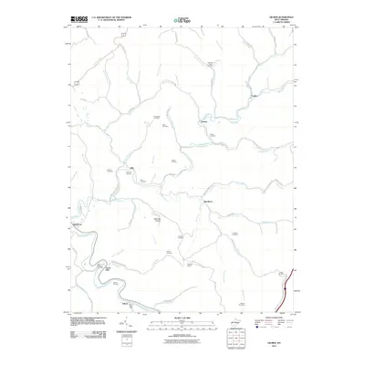 2011 Gilmer2011 Print · USGSCentral West Virginia in the early twenty-first century reveals a landscape of isolated hollows and river-bottom settlements along the Little Kanawha River. Genealogists can locate numerous family burial sites like Old Field Fork Cemetery and historic points such as the Stouts Mills Post Office.
 - 2011 Map of Rosedale, 2011 Print
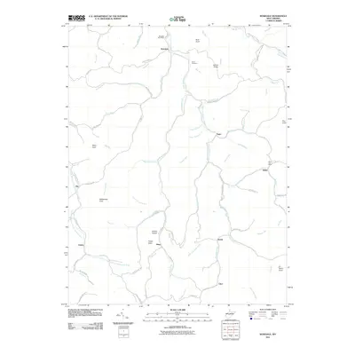 2011 Rosedale2011 Print · USGSBraxton County’s rural highlands appear in great detail at the start of the 2010s. Genealogists and local researchers can trace the roads connecting Rosedale, Tague, and Dessie, or locate landmarks like the Bourn Cemetery and Rattlesnake Knob.
 - 2011 Map of Burnt House, 2011 Print
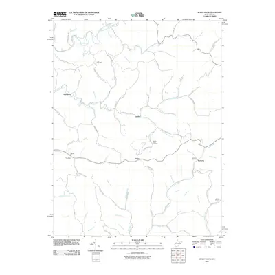 2011 Burnt House2011 Print · USGSRitchie County's rural communities and winding creek valleys are documented here at the start of the twenty-first century. Genealogists and local historians can pinpoint the Burnt House Post Office, Mount Olive Cemetery, and the small settlement of Newberne.
 - 2011 Map of Vadis, 2011 Print
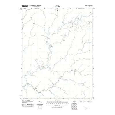 2011 Vadis2011 Print · USGSNear the West Virginia heartland, this early twenty-first-century survey captures the rural crossroads of Lewis and Gilmer counties. Researchers can trace family history through local landmarks like Point Pleasant Cemetery and the Vadis Post Office.
 - 2011 Map of Auburn, 2011 Print
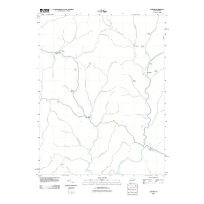 2011 Auburn2011 Print · USGSRitchie and Gilmer Counties are shown here during the early 2000s, where small hillside communities and creek-bottom post offices still define the landscape. Genealogists can locate family burial sites at Auburn and Mount Earnest Cemetery or trace old homesteads near Coxs Mills.
 - 2014 Map of Normantown, 2014 Print
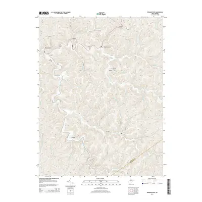 2014 Normantown2014 Print · USGSThe West Virginia hill country at the border of Gilmer and Braxton Counties comes into focus in this modern survey. Genealogists can locate family-named burial sites like Snakeroot Cem and Elihu Stump Cem near settlements like Stumptown and Shock.
 - 2014 Map of Burnsville, 2014 Print
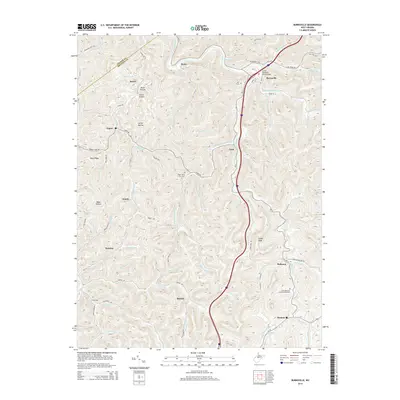 2014 Burnsville2014 Print · USGSBurnsville and the surrounding Braxton County hollows are shown in detail during the early twenty-first century. Genealogists and local historians can locate family landmarks like the K of P Cem, the settlement of Exchange, and the Right Hand Fork Cem.
 - 2014 Map of Peterson, 2014 Print
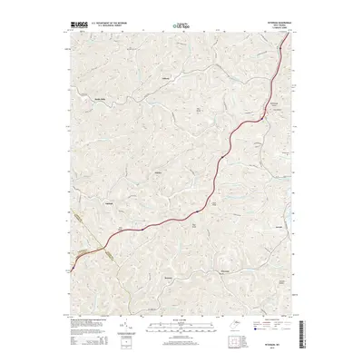 2014 Peterson2014 Print · USGSWest Virginia's Lewis County highlands are shown here in the early twenty-first century, mapping the deep hollows and high ridges that defined the region's development. Local history and genealogy researchers can locate Saint Bernard Cem, trace the West Fork River, and find small settlements like Bealls Mills and Finster.
 - 2014 Map of Gilmer, 2014 Print
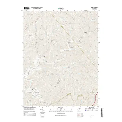 2014 Gilmer2014 Print · USGSGilmer and Sand Fork are captured here in the early twenty-first century, showcasing the deeply dissected terrain of the West Virginia hills. Genealogists can trace numerous local burial sites like Sand Fork Cem, Messenger Cem, and Mick Cem.
 - 2014 Map of Rosedale, 2014 Print
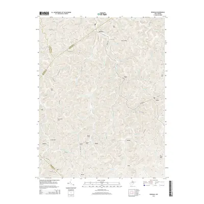 2014 Rosedale2014 Print · USGSBraxton County and its surrounding borders are shown here in the early twenty-first century, mapping the deep hollows and ridges of central West Virginia. Researchers can trace ancestral locations in Rosedale and Tague, or locate family burial plots at Mollohan Cem and Bourn Cem.
 - 2014 Map of Tanner, 2014 Print
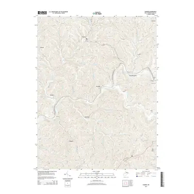 2014 Tanner2014 Print · USGSThe Little Kanawha River valley in central West Virginia is captured here in the early twenty-first century, showing a landscape of deep hollows and isolated ridges. Genealogists can locate numerous family burial sites such as Holbert Cem, Bell Cem, and Keyster Cem.
 - 2014 Map of Cedarville, 2014 Print
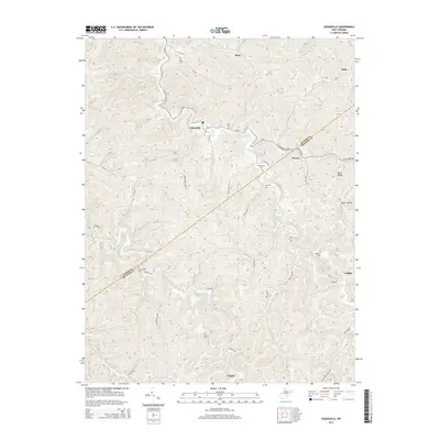 2014 Cedarville2014 Print · USGSThe West Virginia highlands between Gilmer and Braxton counties are shown here as they appeared in the early 2000s. Genealogists and local historians can trace family ties through numerous hilltop burial sites like Jack Cem and Engel Cem or the small settlements of Moss and Cutlips.
 - 2014 Map of Glenville, 2014 Print
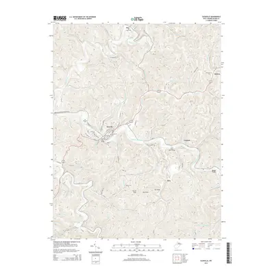 2014 Glenville2014 Print · USGSThe hills of central West Virginia are captured here in the early twenty-first century, centered on the riverfront town of Glenville. Genealogists and local historians can trace the paths to Alice Cemetery, locate the campus of Glenville State College, or find the river crossing at the Glenville Truss Bridge.
 - 2014 Map of Millstone, 2014 Print
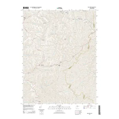 2014 Millstone2014 Print · USGSCalhoun County's ridge-and-hollow landscape is captured here in the early twenty-first century, showing the enduring rural character of central West Virginia. Researchers can trace numerous family-named burial sites like Sylvester Stump Cem, Sturm Cem, and Bannon Cem.
 - 2014 Map of Smithville, 2014 Print
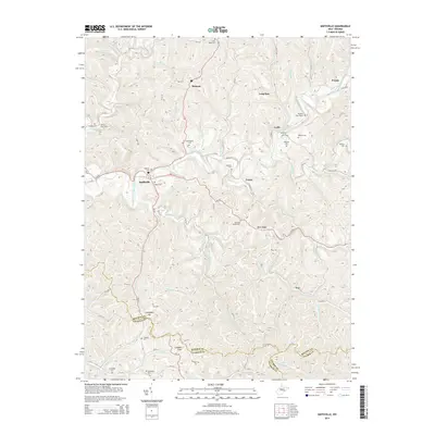 2014 Smithville2014 Print · USGSThe West Virginia hill country near Smithville and Goffs is shown here in the early twenty-first century, centered on the South Fork Hughes River. Researchers can locate numerous family burial sites such as Ayers Cem, Fluharty Cem, and the Betheny Churchyard.
Showing maps 1-25 of 60
Top cities of Gilmer County
Frequently asked questions
- What are the different types of historical maps available for Gilmer County?
- What is the oldest map of Gilmer County?
- Where can I purchase historical maps of Gilmer County for my home or office?
- Where can I download high-res historical maps of Gilmer County?
- Are there historical topographic maps available for Gilmer County?
- Is there historical aerial imagery available for Gilmer County?
- Where are historical maps of Gilmer County sourced from?