Old Maps of Trainer, West Virginia for Genealogy
Trace your family roots with 16 historic maps of Trainer. These high-res maps reveal old neighborhoods, homesites, landmarks, and streets — helping you uncover where your ancestors lived and how the area evolved over time.
- Explore historic neighborhoods: Identify where your relatives may have lived in the 1800s or 1900s.
- Compare maps over time: Trace the changes in streets, buildings, and landmarks for multi-generational research.
- Perfect for genealogy & ancestry research: Used by family historians and researchers to map out lineage and migration.
These maps are an incredible resource for exploring your personal connection to Trainer's past.
Trainer, WV maps
(16)- 1891 Map of Huntersville
 1891 Huntersville1891 Print · USGSPocahontas County in the 1890s is a land of steep ridges and early river settlements before the arrival of modern highways. Researchers can trace ancestral locations along the Greenbrier River, identifying early sites like Hillsboro Academy P.O. and Marlinton.
 - 1894 Map of Huntersville
 1894 Huntersville1894 Print · USGSPocahontas and Webster counties are captured in the late nineteenth century as a network of mountain settlements and river headwaters. Researchers can trace old mountain homesteads and community sites like Hillsboro Academy, Hunter Place, and Aylmer.5 unique versions available
 - 1923 Map of Marlinton
 1923 Marlinton1923 Print · USGSPocahontas County at the start of the twenties shows a landscape defined by the timber industry and the winding Greenbrier River. Genealogists can trace family names through dozens of rural landmarks, including Grimes School, Hefners School, and May Chapel.6 unique versions available
 - 1925 Map of Marlinton
 1925 Marlinton1925 Print · USGSMarlinton and the Greenbrier River valley are captured in the mid-twenties, showing a landscape defined by the Chesapeake and Ohio railroad. Genealogy researchers can locate family landmarks like Locust PO, Trinity Church, and many rural schools.3 unique versions available
 - 1954 Map of Charleston
 1954 Charleston1954 Print · USGSWest Virginia’s industrial heart and mountain highlands are captured here during the mid-fifties, centered on the capital city. Researchers can trace historic river-and-rail corridors along the Kanawha River and locate remote peaks within the Monongahela National Forest.
 - 1957 Map of Charleston, 1966 Print
 1957 Charleston1966 Print · USGSMid-century West Virginia unfolds along the industrial Kanawha River valley and into the high Allegheny Mountains. Genealogists and historians can trace the vital rail lines of the Chesapeake and Ohio and locate riverside settlements from Saint Albans to Buckhannon.3 unique versions available
 - 1958 Map of Charleston
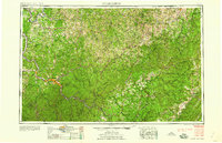 1958 Charleston1958 Print · USGSMid-century West Virginia is defined here by the industrial corridor of the Kanawha River and the high ridges of the Allegheny Mountains. Researchers can trace the rail networks of the New York Central or locate remote highland communities like Pickens and Hillsboro.
 - 1961 Map of Charleston
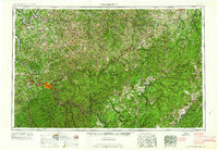 1961 Charleston1961 Print · USGSWest Virginia's capital region and the highlands to the east are shown in detail during the early sixties. Genealogists and historians can trace rail networks like the Baltimore and Ohio RR and find early state parks such as Watoga State Park.
 - 1977 Map of Lake Sherwood, 1978 Print
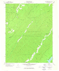 1977 Lake Sherwood1978 Print · USGSPocahontas County was a landscape of protected forests and mountain waters in the late seventies. Genealogists and hikers can locate remote landmarks like Beaver Creek Ch, the Columbia Sulphur Springs site, and the early trail network of Watoga State Park.
 - 1979 Map of Marlinton, 1982 Print
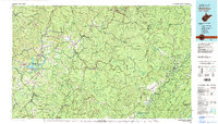 1979 Marlinton1982 Print · USGSThe West Virginia highlands are shown in detail during the late seventies, featuring the dense rail networks and mountain towns of the Allegheny range. Researchers can trace family roots through sites like Buckeye Cem, Mount Nebo Ch, and the lumber and coal hubs of Richwood and Rainelle.
 - 1995 Map of Lake Sherwood, 1998 Print
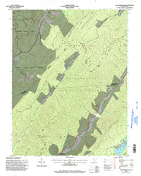 1995 Lake Sherwood1998 Print · USGSThe West Virginia high country in the mid-nineties is documented here as a vast network of state and federal forest lands. Researchers can locate secluded sites such as Columbia Sulphur Springs, May Chapel, and the remote Landing Strip near the Greenbrier County line.
 - 2011 Map of Lake Sherwood, 2011 Print
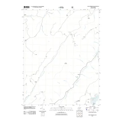 2011 Lake Sherwood2011 Print · USGSGreenbrier County's high ridges and creek valleys are captured here in the early twenty-first century. Researchers can trace historic spots like Columbia Sulphur Springs and the small settlement of Trainer near the waters of Lake Sherwood.
 - 2014 Map of Lake Sherwood, 2014 Print
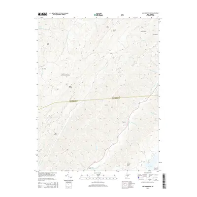 2014 Lake Sherwood2014 Print · USGSGreenbrier and Pocahontas counties meet in this high-elevation forest landscape during the early twenty-first century. Researchers can locate remote settlements like Trainer and Columbia Sulphur Springs or trace family landmarks across Meadow Creek Mtn and Burr Valley.
 - 2016 Map of Lake Sherwood, 2016 Print
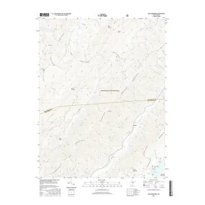 2016 Lake Sherwood2016 Print · USGSGreenbrier and Pocahontas counties meet in this high-elevation forest landscape during the mid-2010s. Researchers can trace the path of the Allegheny Tr.: Marlin Mtn. and locate the mountain settlement of Trainer near the banks of Lake Sherwood.
 - 2019 Map of Lake Sherwood, 2019 Print
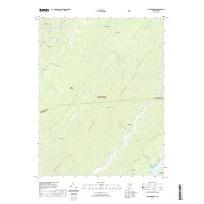 2019 Lake Sherwood2019 Print · USGSThe high ridges of the Allegheny Mountains are shown here in the late 2010s as the border between Greenbrier and Pocahontas counties. Hikers and historians can trace the paths of the Allegheny Tr :: Marlin Mtn or locate the remote settlement of Trainer near Lake Sherwood.
 - 2023 Map of Lake Sherwood, 2023 Print
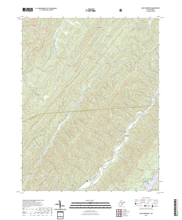 2023 Lake Sherwood2023 Print · USGSPocahontas and Greenbrier counties are captured here in the 2020s, showing a landscape defined by the deep ridges of the Monongahela National Forest. Researchers can trace family history at the John Wade Cem or explore the area around Trainer and Lake Sherwood.
End of results
Showing maps 1-16 of 16
Top cities near Trainer
- Clifton Forge historical maps
- Marlinton historical maps
- Hot Springs historical maps
- Hillsboro historical maps
Frequently asked questions
- What are the different types of historical maps available for Trainer?
- What is the oldest map of Trainer?
- Where can I purchase historical maps of Trainer for my home or office?
- Where can I download high-res historical maps of Trainer?
- Are there historical topographic maps available for Trainer?
- Is there historical aerial imagery available for Trainer?
- Where are historical maps of Trainer sourced from?