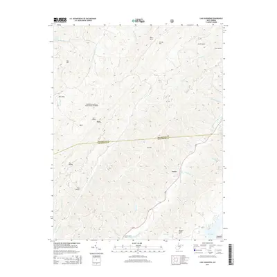
2014 Map of Lake Sherwood
USGS Topo · Published 2014About this map
The Monongahela National Forest dominates this mountain landscape, which is split by the Pocahontas Co and Greenbrier Co boundary line. In the southern reach of the survey, the namesake Lake Sherwood and the small settlement of Columbia Sulphur Springs sit near the foot of Meadow Creek Mtn. The topography is defined by high ridges and deep drainages, including the Allegheny Mountains and the steep terrain of Devils Garden and White Rocks.
Find a feature on this map
42 named features on this map. Tap any name to fly to it.
Don’t see what you’re looking for? This feature index may not catch every label — zoom into the map to look around manually.
Map Details
Editions of this 2014 Lake Sherwood Map
This is the sole edition of this map. No revisions or reprints were ever made.
Other maps of this area

1887 · Lewisburg
USGS Topo · 1:125,000

1891 · Lewisburg
USGS Topo · 1:125,000

1891 · Huntersville
USGS Topo · 1:125,000

1894 · Huntersville
USGS Topo · 1:125,000

1894 · Natural Bridge
USGS Topo · 1:125,000

1901 · Monterey
USGS Topo · 1:125,000

1921 · Callaghan
USGS Topo · 1:48,000

1923 · Marlinton
USGS Topo · 1:48,000

1923 · Warm Springs
USGS Topo · 1:48,000

1923 · Callaghan
USGS Topo · 1:62,500