1990s Maps of Kanawha County, West Virginia
Explore 12 historic maps of Kanawha County from the 1990s. These maps offer a rare glimpse into what life looked like during the 1990s — showing old roads, neighborhoods, homes, and landmarks that have changed or disappeared over time.
Whether you're researching your family's past, planning a metal detecting trip, or studying how Kanawha County's landscape evolved across the 1990s, these high-resolution maps are a powerful tool for exploring the history of this region.
- Focus on a specific era: All maps on this page are from the 1990s, giving you a focused view of this time period.
- See what’s changed: Compare century-old streets, trails, and buildings to today's modern landscape using overlays and satellite layers.
- Research with precision: Use these maps for genealogy, historical research, land use analysis, or educational projects.
- View, download, or print: Maps are fully viewable online in high resolution, and can be downloaded or printed for your own records.
Start exploring Kanawha County's history through authentic maps from the 1990s. This is your window into the past.
Kanawha County, WV maps
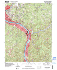
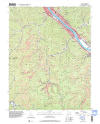
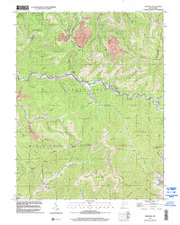
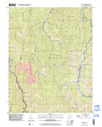
(12)- 1994 Map of Pocatalico, 1999 Print
 1994 Pocatalico1999 Print · USGSCovers Kanawha County, including Charleston, Dunbar, and other nearby areas
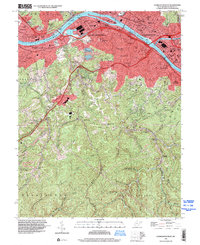
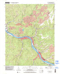
 - 1996 Map of Charleston East, 2000 Print
 1996 Charleston East2000 Print · USGSCovers Kanawha County, including Charleston, Marmet, and other nearby areas
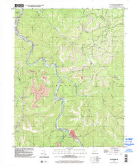
 - 1996 Map of Belle, 2000 Print
 1996 Belle2000 Print · USGSCovers Kanawha County, including Marmet, Chesapeake, and other nearby areas
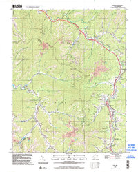
 - 1996 Map of Charleston West, 2000 Print
 1996 Charleston West2000 Print · USGSCovers Kanawha County, including Charleston, South Charleston, and other nearby areas
 - 1996 Map of Bentree, 2002 Print
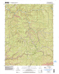
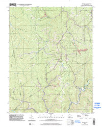 1996 Bentree2002 Print · USGSCovers Kanawha County, including Adonijah, Bentree, and other nearby areas
 - 1996 Map of Dorothy, 2002 Print
 1996 Dorothy2002 Print · USGSCovers Kanawha County, including Ameagle, Emerson, and other nearby areas
 - 1996 Map of Montgomery, 2002 Print
 1996 Montgomery2002 Print · USGSCovers Kanawha County, including Montgomery, Boomer, and other nearby areas
 - 1996 Map of Sylvester, 2002 Print
 1996 Sylvester2002 Print · USGSCovers Kanawha County, including Sylvester, Fosterville, and other nearby areas
 - 1996 Map of Pax, 2002 Print
 1996 Pax2002 Print · USGSCovers Kanawha County, including Pax, Mossy, and other nearby areas
 - 1996 Map of Powellton, 2002 Print
 1996 Powellton2002 Print · USGSCovers Kanawha County, including Powellton, Kincaid, and other nearby areas
 - 1996 Map of Mammoth, 2003 Print
 1996 Mammoth2003 Print · USGSCovers Kanawha County, including Putney, Spangler, and other nearby areas
 - 1999 Map of Bancroft, 2000 Print
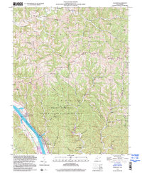 1999 Bancroft2000 Print · USGSCovers Kanawha County, including Winfield, Bancroft, and other nearby areas
End of results
Showing maps 1-12 of 12
Top cities of Kanawha County
- Charleston historical maps
- South Charleston historical maps
- St. Albans historical maps
- Dunbar historical maps
- Marmet historical maps
- Chesapeake historical maps
See more
Frequently asked questions
- What are the different types of historical maps available for Kanawha County?
- What is the oldest map of Kanawha County?
- Where can I purchase historical maps of Kanawha County for my home or office?
- Where can I download high-res historical maps of Kanawha County?
- Are there historical topographic maps available for Kanawha County?
- Is there historical aerial imagery available for Kanawha County?
- Where are historical maps of Kanawha County sourced from?