2010s Maps of Kanawha County, West Virginia
Explore 128 historic maps of Kanawha County from the 2010s. These maps offer a rare glimpse into what life looked like during the 2010s — showing old roads, neighborhoods, homes, and landmarks that have changed or disappeared over time.
Whether you're researching your family's past, planning a metal detecting trip, or studying how Kanawha County's landscape evolved across the 2010s, these high-resolution maps are a powerful tool for exploring the history of this region.
- Focus on a specific era: All maps on this page are from the 2010s, giving you a focused view of this time period.
- See what’s changed: Compare century-old streets, trails, and buildings to today's modern landscape using overlays and satellite layers.
- Research with precision: Use these maps for genealogy, historical research, land use analysis, or educational projects.
- View, download, or print: Maps are fully viewable online in high resolution, and can be downloaded or printed for your own records.
Start exploring Kanawha County's history through authentic maps from the 2010s. This is your window into the past.
Kanawha County, WV maps
(128)- 2011 Map of Dorothy, 2011 Print
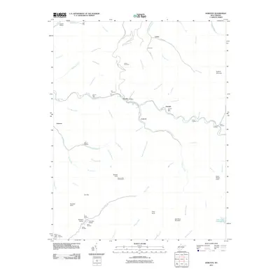 2011 Dorothy2011 Print · USGSRaleigh County coal country is detailed here in the early twenty-first century, showing the tight-knit mountain settlements along the Clear Fork. Genealogists and historians can locate numerous burial sites like Union Cemetery or trace landmarks such as the Wriston Knob Lookout Tower.
 - 2011 Map of Pax, 2011 Print
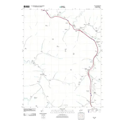 2011 Pax2011 Print · USGSThe West Virginia coalfields near Pax and Clear Creek are documented here in the early twenty-first century, showing a landscape shaped by creek valleys and mountain ridges. Researchers can locate numerous family burial sites like Wriston Cemetery and Sutphin Cemetery, or trace rural landmarks such as the Lick Knob Lookout Tower.
 - 2011 Map of Garretts Bend, 2011 Print
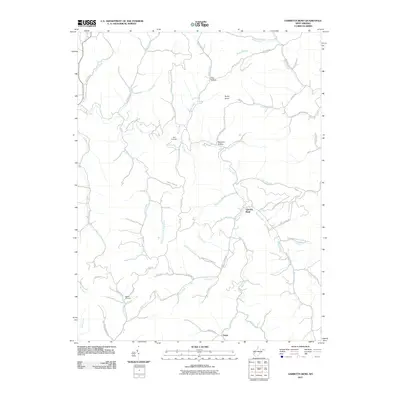 2011 Garretts Bend2011 Print · USGSLincoln County communities and remote hollows are documented here just after the turn of the millennium. Researchers can locate Bird Cemetery, the settlement of Tango, and family landmarks along Jarvis Ridge and Hazlett Fork.
 - 2011 Map of Bentree, 2011 Print
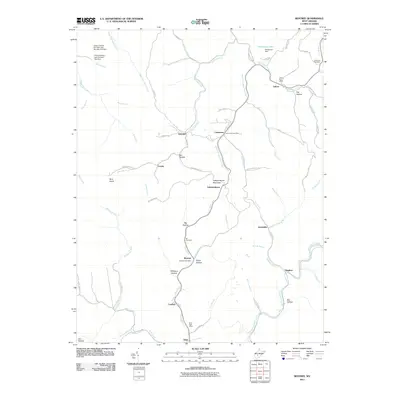 2011 Bentree2011 Print · USGSIn the central West Virginia mountains during the early twenty-first century, this area shows a landscape of ridge-top settlements and deep hollows. Researchers can locate small communities like Adonijah, Cambria, and Dixie, as well as family landmarks including the Holcomb Cemetery and Ida Cemetery.
 - 2011 Map of Racine, 2011 Print
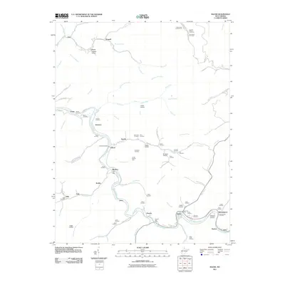 2011 Racine2011 Print · USGSThe Big Coal River valley in Boone County comes into focus in this recent survey of riverside settlements and mountain hollows. Genealogists can locate family burial sites like Barker Cemetery and Kinder Cemetery, or trace roots through the Peytona Post Office and Racine.
 - 2011 Map of Charleston East, 2011 Print
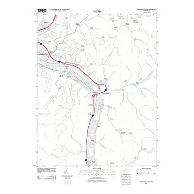 2011 Charleston East2011 Print · USGSThe Kanawha River corridor near CHARLESTON is captured here in the early twenty-first century, showing the dense network of settlements and hollows. Genealogists can locate family burial plots at Spring Hill Cemetery or Hess Cemetery and trace historical landmarks like the Malden Post Office.
 - 2011 Map of Kenna, 2011 Print
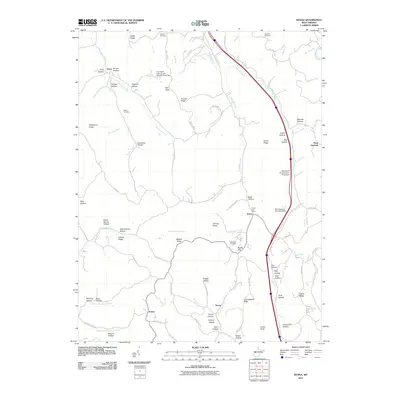 2011 Kenna2011 Print · USGSThe West Virginia hill country around the Kenna quadrangle is shown here in the early twenty-first century, featuring a landscape of family farms and small rural junctions. Genealogists can locate specific burial grounds like Webster Cemetery or trace landmarks such as Kenna Post Office and Emma.
 - 2011 Map of Alum Creek, 2011 Print
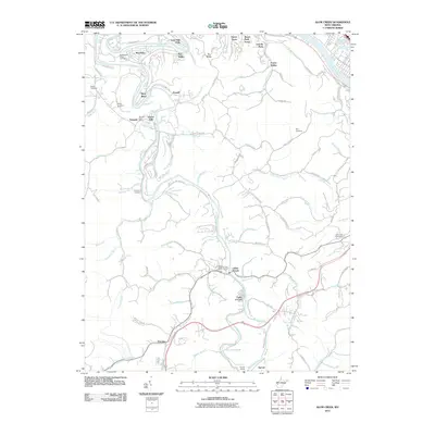 2011 Alum Creek2011 Print · USGSThe confluence of the Coal River forks in Kanawha County is documented here during the early twenty-first century. Genealogists can locate family landmarks like the Sutherland-White Cemetery and Childress Cemetery or trace the rail route through Sproul Tunnel.
 - 2011 Map of Cedar Grove, 2011 Print
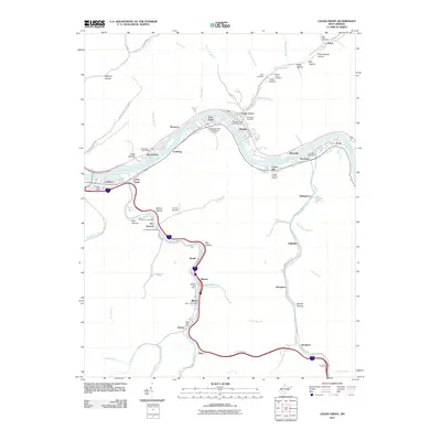 2011 Cedar Grove2011 Print · USGSThe Kanawha River valley in 2011 shows a landscape shaped by river commerce and valley settlements. Researchers can trace family history at the Virginias Chapel Slave Cemetery or locate local hubs like the Shrewsbury Post Office and Cedar Grove.
 - 2011 Map of Blue Creek, 2011 Print
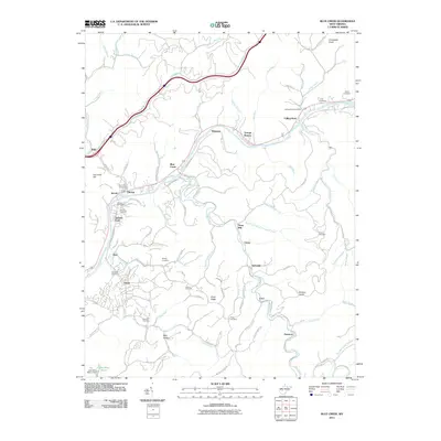 2011 Blue Creek2011 Print · USGSThe Elk River valley and its surrounding hollows are captured here during the early twenty-first century. Genealogists and local historians can trace family locations through numerous sites like Reynolds Cemetery, Jarretts Ford, and the Falling Rock Post Office.
 - 2011 Map of Sissonville, 2011 Print
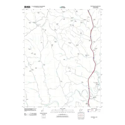 2011 Sissonville2011 Print · USGSThe Pocatalico River valley comes into focus in this recent look at a West Virginia landscape defined by its ridges and hollows. Researchers can locate numerous family burial sites like Boggess Cemetery and trace the rural layouts of Liberty and White Chapel.
 - 2011 Map of Quick, 2011 Print
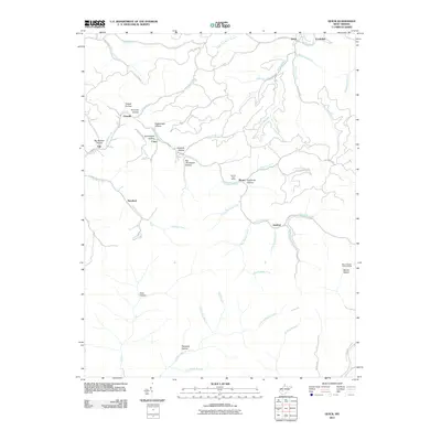 2011 Quick2011 Print · USGSThe rural valleys and hollows of Kanawha County are documented here in the early twenty-first century. Researchers can trace family-named landmarks and old communities like Quick, Cinco, and Rensford, or locate the Blount Post Office and Mount Desert Lookout Tower.
 - 2011 Map of Mammoth, 2011 Print
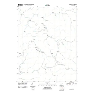 2011 Mammoth2011 Print · USGSKanawha County’s creek-bottom settlements and winding hollows are documented here during the early twenty-first century. Genealogists and local historians can trace family land and community hubs from Mammoth and Kendalia to the Pond Gap Post Office.
 - 2011 Map of Montgomery, 2011 Print
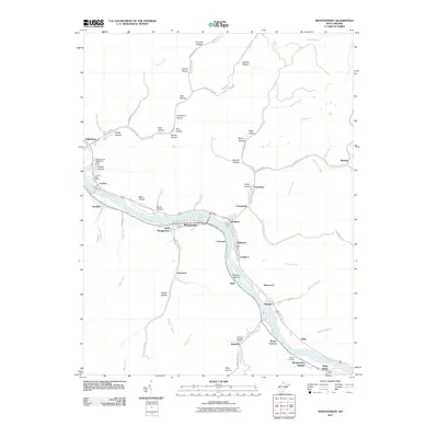 2011 Montgomery2011 Print · USGSThe Kanawha River valley near the turn of the decade shows a dense network of industrial riverside towns. Researchers can trace family history through local sites like Guthrie Cemetery, the London Post Office, and the many hollows like Graveyard Hollow.
 - 2011 Map of Clendenin, 2011 Print
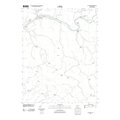 2011 Clendenin2011 Print · USGSThe Elk River valley near Clendenin appears here in the early 21st century, showing a landscape defined by its deep hollows and riverfront hamlets. Local historians and genealogists can pinpoint specific family landmarks like Osborne Cemetery and the Corton Post Office.
 - 2011 Map of Scott Depot, 2011 Print
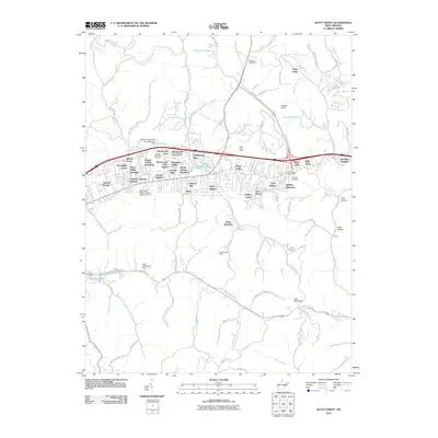 2011 Scott Depot2011 Print · USGSTeays Valley and Scott Depot appear as bustling residential and commercial centers during this period of West Virginia's suburban growth. Researchers can trace local heritage through the Bowling Cemetery, find the Scott Depot Post Office, and map family sites near Wells Hollow.
 - 2011 Map of Charleston West, 2011 Print
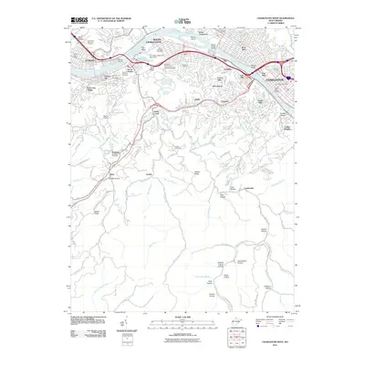 2011 Charleston West2011 Print · USGSThe Kanawha River corridor comes alive in this 2011 study of the West Virginia capital region's industrial and residential heart. Trace local history through landmarks like Kenna Homes, Mallory Airport, and numerous family burial sites including French Cemetery.
 - 2011 Map of Sylvester, 2011 Print
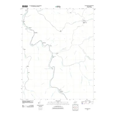 2011 Sylvester2011 Print · USGSBoone County settlements line the narrow valley floors along the Big Coal River in this 2011 survey. Genealogists and local historians can trace family sites at Orgas Post Office and several upland burials like Pettry Cemetery and Bowen Cemetery.
 - 2011 Map of Saint Albans, 2011 Print
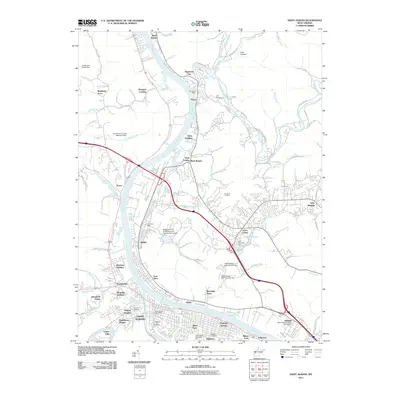 2011 Saint Albans2011 Print · USGSThe Kanawha River valley in the early twenty-first century reveals a dense network of suburban expansion and industrial legacies. Genealogists and researchers can trace family-named sites like Lilly Cemetery, Morgans Landing, and the Institute West Virginia State University campus.
 - 2011 Map of Clio, 2011 Print
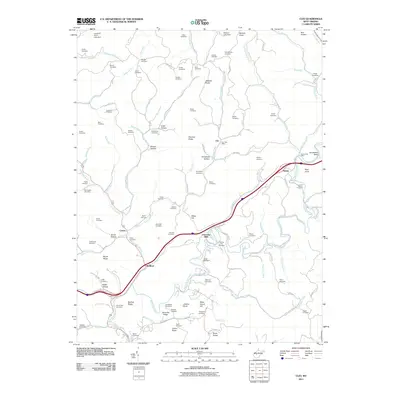 2011 Clio2011 Print · USGSSmall West Virginia communities and family farmsteads populate these hills and hollows along Big Sandy Creek as they appeared in the early twenty-first century. Researchers can trace ancestral locations across dozens of burial sites like Rolling Hill Cemetery and Casey Cemetery near Osbornes Mills.
 - 2011 Map of Big Chimney, 2011 Print
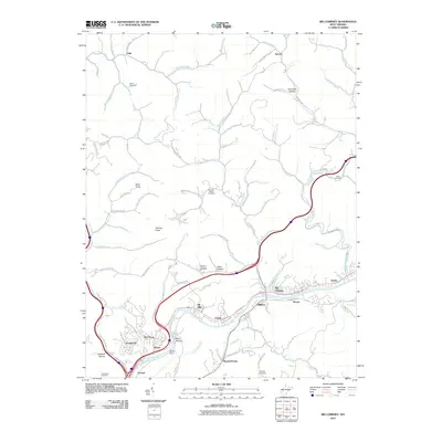 2011 Big Chimney2011 Print · USGSThe Elk River valley north of Charleston is captured here in the early twenty-first century, showing the dense residential growth along the riverbanks. Researchers can locate family cemeteries like Given Cemetery and trace old hollows such as Hammack Hollow and Scott Hollow.
 - 2011 Map of Elkhurst, 2011 Print
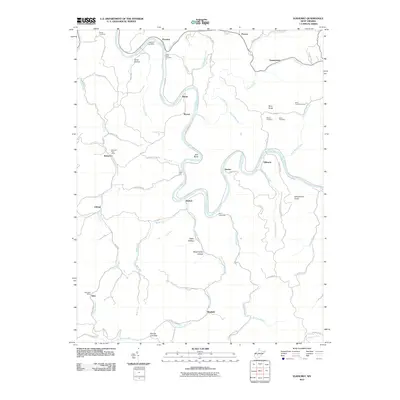 2011 Elkhurst2011 Print · USGSThe Elk River valley in Clay County is captured here in the early twenty-first century, showing the persistence of rural West Virginia communities. Genealogists can trace family landmarks and burial sites including White Cemetery, Davis Cemetery, and the Procious Post Office.
 - 2011 Map of Bancroft, 2011 Print
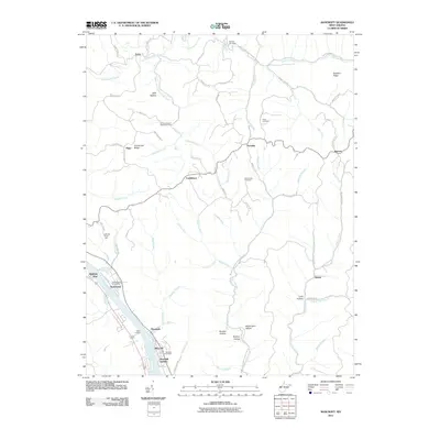 2011 Bancroft2011 Print · USGSPutnam County's riverfront and rural uplands are shown in detail here during the early twenty-first century. Researchers can locate family sites and local landmarks like the Old Antioch Cemetery, the Bronco Junction Asthmatic Camp, and the community of Confidence.
 - 2011 Map of Romance, 2011 Print
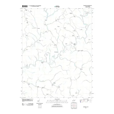 2011 Romance2011 Print · USGSJackson County rural life in the early twenty-first century is captured here through its network of hollows and small family settlements. Genealogists can trace dozens of burial sites including Dawson Cemetery and Lanham Cemetery near the Pocatalico River.
 - 2011 Map of Powellton, 2011 Print
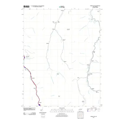 2011 Powellton2011 Print · USGSFayette County’s deep valleys and coal settlements are documented in the early twenty-first century, showing the area’s rugged residential and industrial layout. Trace local ancestry at the Craig Cemeteries or Blake Cemetery, and follow the narrow creek-side developments of Powellton, Elkridge, and Kincaid.
Showing maps 1-25 of 128
Top cities of Kanawha County
- Charleston historical maps
- South Charleston historical maps
- St. Albans historical maps
- Dunbar historical maps
- Marmet historical maps
- Chesapeake historical maps
See more
Frequently asked questions
- What are the different types of historical maps available for Kanawha County?
- What is the oldest map of Kanawha County?
- Where can I purchase historical maps of Kanawha County for my home or office?
- Where can I download high-res historical maps of Kanawha County?
- Are there historical topographic maps available for Kanawha County?
- Is there historical aerial imagery available for Kanawha County?
- Where are historical maps of Kanawha County sourced from?