2020s Maps of Kanawha County, West Virginia
Explore 32 historic maps of Kanawha County from the 2020s. These maps offer a rare glimpse into what life looked like during the 2020s — showing old roads, neighborhoods, homes, and landmarks that have changed or disappeared over time.
Whether you're researching your family's past, planning a metal detecting trip, or studying how Kanawha County's landscape evolved across the 2020s, these high-resolution maps are a powerful tool for exploring the history of this region.
- Focus on a specific era: All maps on this page are from the 2020s, giving you a focused view of this time period.
- See what’s changed: Compare century-old streets, trails, and buildings to today's modern landscape using overlays and satellite layers.
- Research with precision: Use these maps for genealogy, historical research, land use analysis, or educational projects.
- View, download, or print: Maps are fully viewable online in high resolution, and can be downloaded or printed for your own records.
Start exploring Kanawha County's history through authentic maps from the 2020s. This is your window into the past.
Kanawha County, WV maps
(32)- 2023 Map of Kettle, 2023 Print
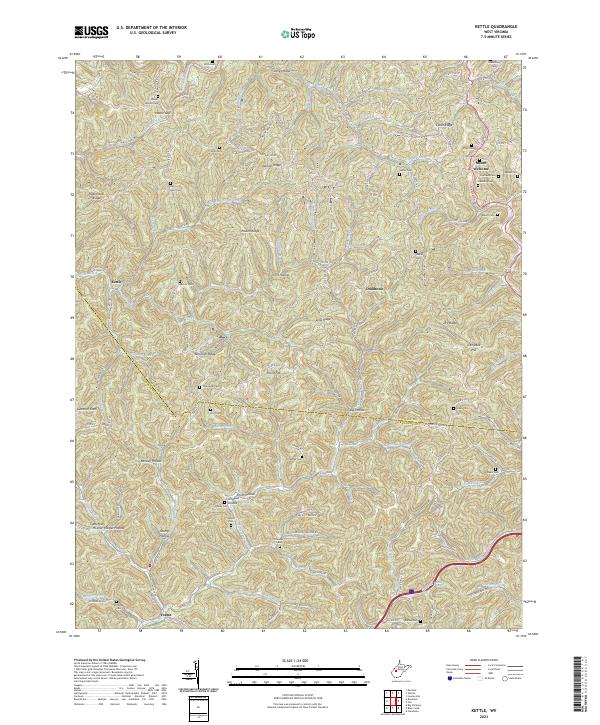 2023 Kettle2023 Print · USGSThe rural hills at the Roane and Kanawha county line appear here in the early 2020s, showing a landscape defined by deep-set hollows and winding creek beds. Genealogists can trace family heritage through numerous burial sites like Billy Hunt Cem, Paxton Cem, and Staats Cem.
 - 2023 Map of Mammoth, 2023 Print
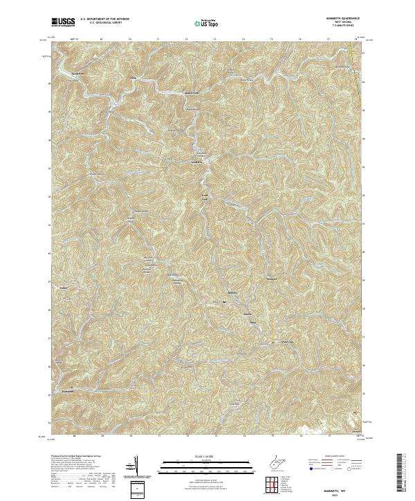 2023 Mammoth2023 Print · USGSKanawha County's rugged ridge-and-hollow terrain is captured here in the early twenty-first century, showing the enduring settlement patterns of West Virginia's coal fields. Researchers can trace local genealogy through named landmarks like Blakeley Cem and family-named hollows such as Goodman Hollow or James Hollow.
 - 2023 Map of Alum Creek, 2023 Print
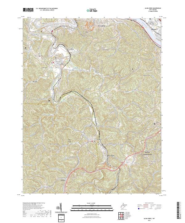 2023 Alum Creek2023 Print · USGSThe Coal River valley at the Kanawha and Lincoln County line comes into focus in this contemporary study of its ridges and reaches. Researchers can pinpoint several family burial grounds like Templeton Cem and Henley Cem or trace the river's path through Tornado and Forks of Coal.
 - 2023 Map of Elkhurst, 2023 Print
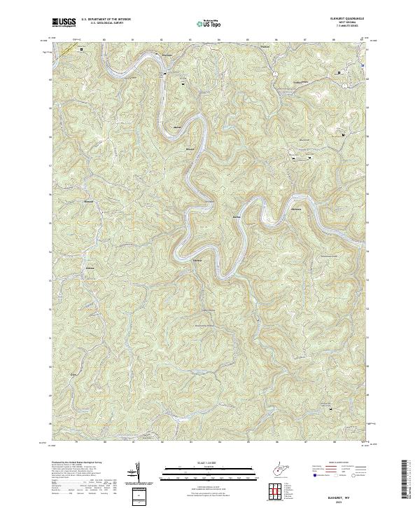 2023 Elkhurst2023 Print · USGSIn the hills of Clay County, the winding Elk River dictates the path of settlement and transport. Genealogists and local historians can trace family roots at Dulls Creek Cem, Samples Cem, and the riverside hamlet of Procious.
 - 2023 Map of Blue Creek, 2023 Print
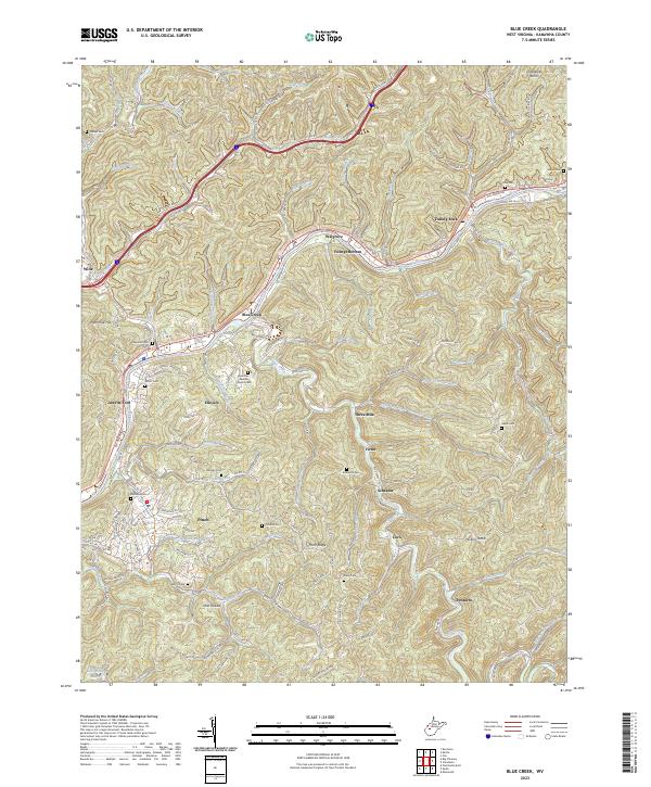 2023 Blue Creek2023 Print · USGSKanawha County’s river valleys and ridgelines are shown here in the early 2020s, tracing the communities along the winding Elk River. Genealogists and local historians can locate numerous family burial sites including Jarrett Cem, Price Cem, and Woody Cem.
 - 2023 Map of Powellton, 2023 Print
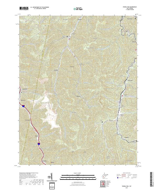 2023 Powellton2023 Print · USGSThe steep hollows of Fayette and Kanawha Counties are captured here in the early twenty-first century, showcasing a legacy of coal-country settlements. Researchers can trace local genealogy through Craig Cemeteries, Johnson Cem, and the old community sites at Elkridge and McDunn.
 - 2023 Map of Bentree, 2023 Print
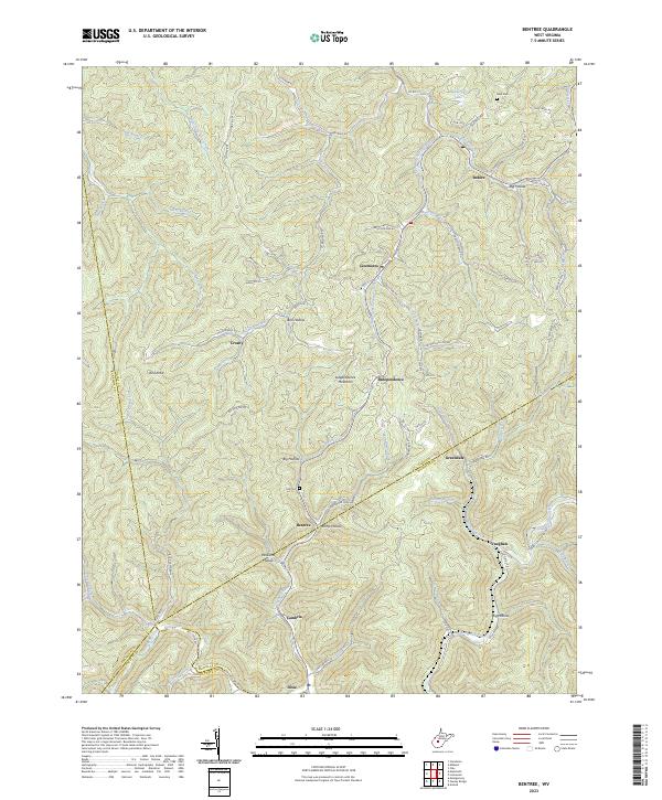 2023 Bentree2023 Print · USGSClay County and the surrounding highlands are depicted here at a moment when traditional hollow life and modern road networks intersect. Genealogists and hikers can trace family names and old paths through Ramp Hollow, Ida Cem, and the winding banks of Twentymile Creek.
 - 2023 Map of Kenna, 2023 Print
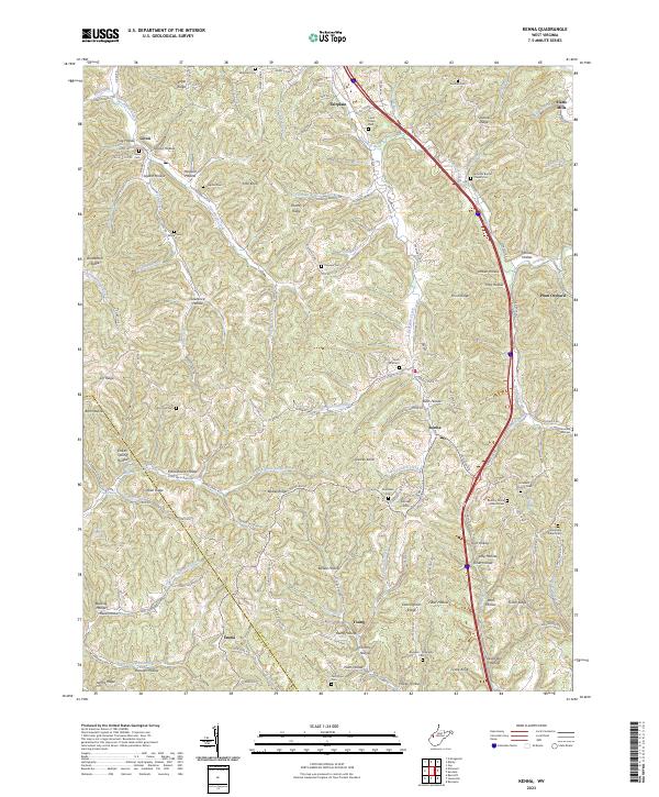 2023 Kenna2023 Print · USGSJackson and Putnam counties come alive in this contemporary survey of West Virginia's ridge-and-hollow country. Researchers can trace deep family roots at Given Cem, Harpold Cem, or the Stonelick Church Cem near Kenna.
 - 2023 Map of Big Chimney, 2023 Print
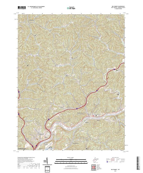 2023 Big Chimney2023 Print · USGSThe Elk River corridor north of Charleston appears here in its contemporary landscape of riverside settlements and steep hollows. Researchers can trace family history through sites like the Cavender Family Cem or locate regional landmarks like Big Chimney and the West Virginia International Yeager Airport.
 - 2023 Map of Newton, 2023 Print
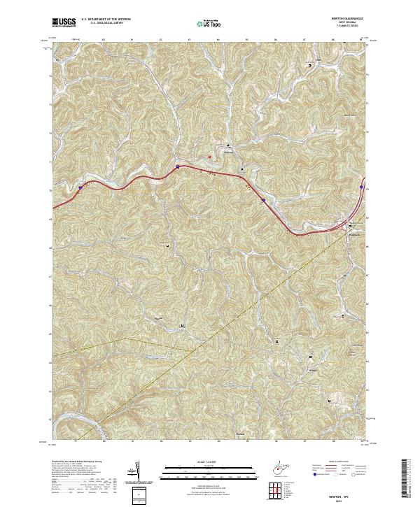 2023 Newton2023 Print · USGSRoane County and the surrounding hollows of West Virginia are mapped here in the contemporary era, showing a landscape defined by its creek-side settlements. Local historians can trace family locations at Newton, Wallback, and Pigeon, or locate ancestral sites like Grose Cem and Newton Cem.
 - 2023 Map of Charleston East, 2023 Print
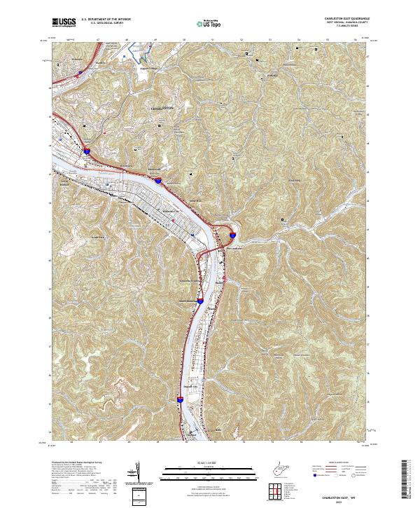 2023 Charleston East2023 Print · USGSThe Kanawha River valley and its intricate hollows are captured in this contemporary view of the West Virginia capital's eastern reaches. Genealogists and local historians can locate many small burial grounds such as Fisher Cem and Prouse Cem alongside industrial centers like Dupont City.
 - 2023 Map of Scott Depot, 2023 Print
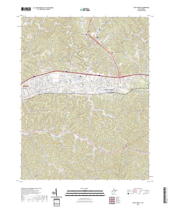 2023 Scott Depot2023 Print · USGSPutnam and Kanawha counties are shown in this modern survey during a period of significant suburban growth. Researchers can trace numerous family burial grounds and natural water sources like Heavens Gateway Cem, Hodges Cem, and Farley Spring.
 - 2023 Map of Julian, 2023 Print
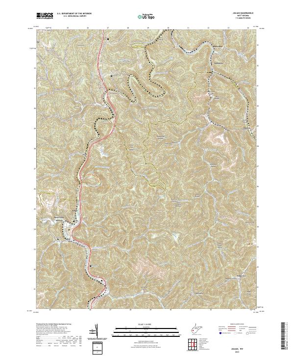 2023 Julian2023 Print · USGSThe Little Coal River valley comes into focus during this modern era of West Virginia history. Genealogists and local historians can trace small settlements and family burial sites like Horse Creek Junction, Pate Cem, and Moore Cem.
 - 2023 Map of Racine, 2023 Print
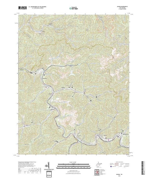 2023 Racine2023 Print · USGSThe coal country of Boone County comes into focus in this recent survey of the Big Coal River valley. Genealogists and historians can trace the deep-rooted settlements of Peytona and Racine, while locating family landmarks like the Javins Cem and Ashford Sch.
 - 2023 Map of Bancroft, 2023 Print
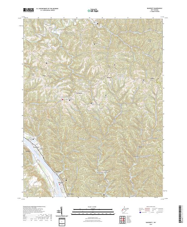 2023 Bancroft2023 Print · USGSThe Kanawha River valley and its surrounding ridges come alive in this contemporary record of West Virginia's heartland. Genealogists can trace family names and burial sites at Schowen Cem, Wade Chapel Cem, and the riverfront community of Black Betsey.
 - 2023 Map of Garretts Bend, 2023 Print
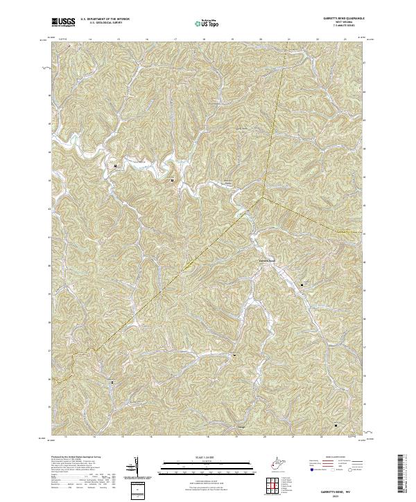 2023 Garretts Bend2023 Print · USGSThis West Virginia highlands map traces the remote hollows of Lincoln and Putnam counties as they appear today. Family researchers can locate numerous burial grounds like Nelson Cem and Watts Cem along the winding Trace Fork Mud River.
 - 2023 Map of Pocatalico, 2023 Print
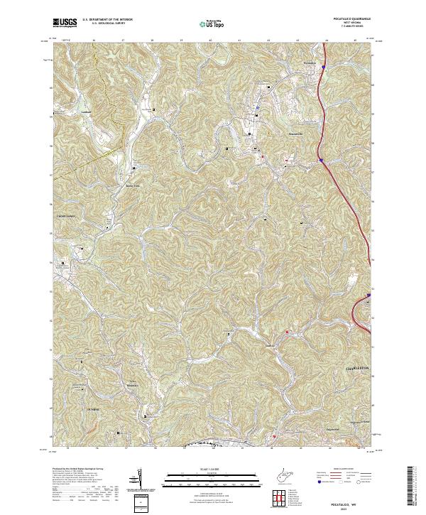 2023 Pocatalico2023 Print · USGSNorth of Charleston in the early 2020s, the hollows and ridges of Kanawha County show a mix of suburban growth and deeply rooted family history. Genealogists can trace decades of local heritage through sites like Martin Dunlap Cem, Casdorph Cem, and the Mcclanahan Cem.
 - 2023 Map of Sissonville, 2023 Print
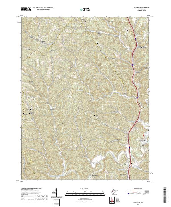 2023 Sissonville2023 Print · USGSThe Pocatalico River valley in the early 2020s reveals a landscape deeply etched by family history and rural community life across Kanawha County. Genealogists and local historians can locate numerous family burial sites, including Boggess Family Cem, while tracing the early footprints of Sissonville and Liberty.
 - 2023 Map of Gauley Bridge, 2023 Print
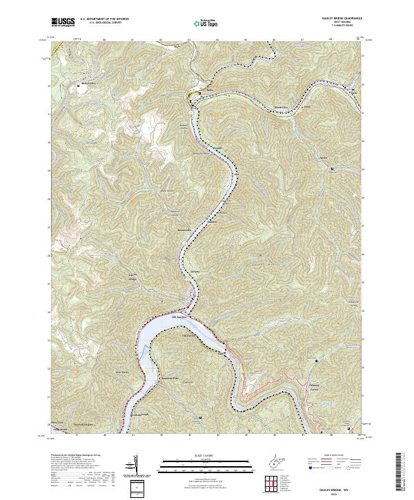 2023 Gauley Bridge2023 Print · USGSThe confluence of the New and Gauley Rivers comes alive in this contemporary look at Fayette County's river-bottom towns. Genealogists and local historians can trace legacy family sites like Abbott-Huddleston Cem or follow the rails through KM Junction and Gauley Bridge.
 - 2023 Map of Montgomery, 2023 Print
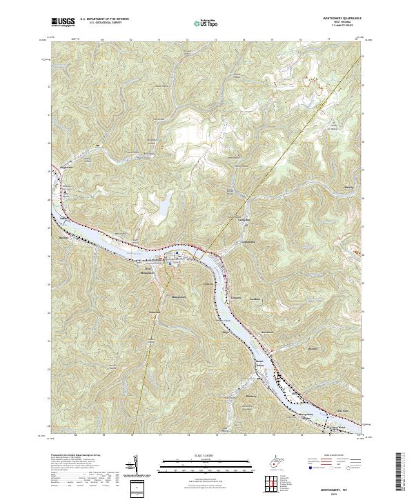 2023 Montgomery2023 Print · USGSThe industrial corridor of the Kanawha Valley is documented here in recent detail at the Fayette and Kanawha County border. Genealogists can locate several family-named landmarks and burial grounds, including Goodwin Cem, Donwood, and the heights of Armstrong Mountain.
 - 2023 Map of Cedar Grove, 2023 Print
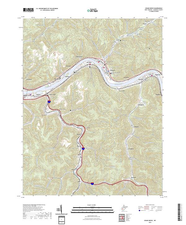 2023 Cedar Grove2023 Print · USGSKanawha County’s riverfront and mountain hollows are shown in detail as they appeared in the early 2020s. Researchers can trace family sites at Independent Order of Oddfellows Cem or locate settlements like Cedar Grove and Cabin Creek.
 - 2023 Map of Charleston West, 2023 Print
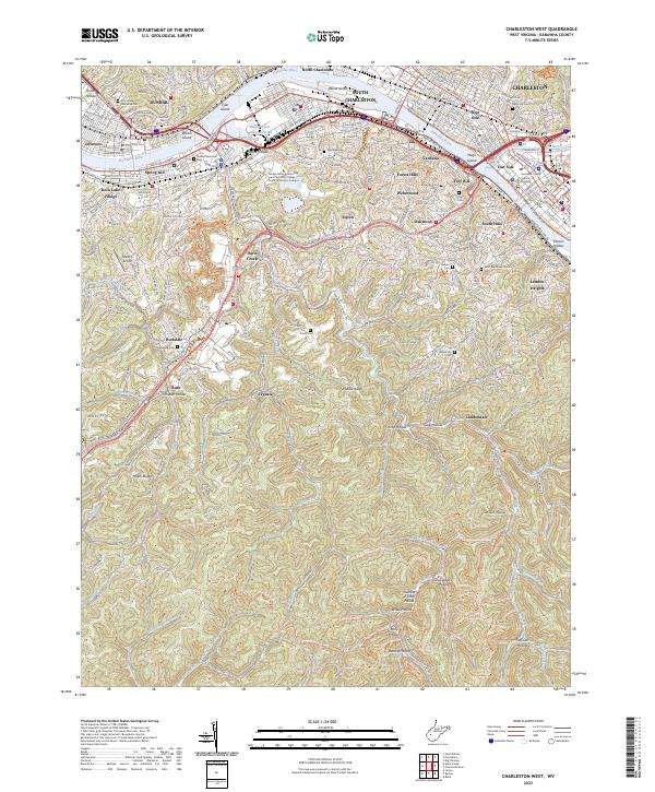 2023 Charleston West2023 Print · USGSGreater Charleston is mapped here at the height of its modern development, where the industrial Kanawha River meets the foothills of the Kanawha State Forest. Trace the urban expansion into South Hills or find family history at Grandview Memorial Cem and Watts Hill Cem.
 - 2023 Map of Quick, 2023 Print
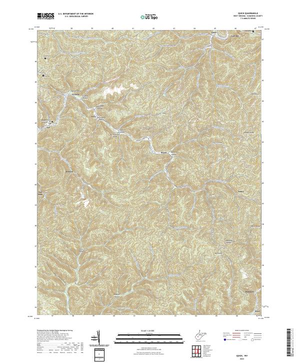 2023 Quick2023 Print · USGSThe creek valleys of Kanawha County appear in high detail on this contemporary survey of the West Virginia coalfields. Researchers can trace family origins through several burial sites like Patterson Cem and Hunter Cem, or locate old company towns at Putney and Mammoth.
 - 2023 Map of Romance, 2023 Print
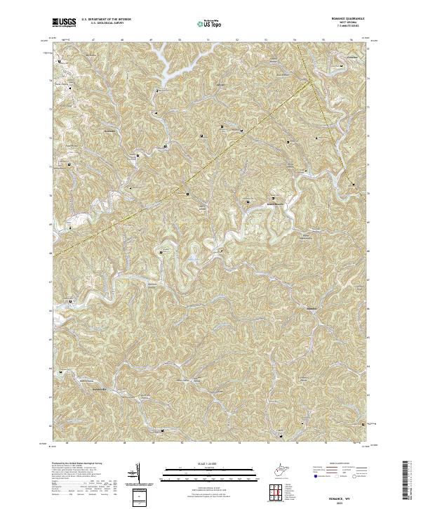 2023 Romance2023 Print · USGSThe Pocatalico River valley comes alive in this contemporary record of rural Kanawha and Jackson Counties. Genealogists and local historians can trace family lineages across dozens of named cemeteries like Newhouser Cem and Fields Cem or locate community landmarks such as Pleasant Grove Church.
 - 2023 Map of Clio, 2023 Print
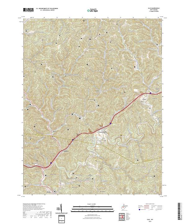 2023 Clio2023 Print · USGSRoane and Kanawha counties in the early 2020s remain a landscape of tightly packed ridges and deeply etched hollows. Genealogists can locate dozens of remote family burial sites like Hively Cem and Barnhouse Cem near settlements such as Clio and Osbornes Mills.
Showing maps 1-25 of 32
Top cities of Kanawha County
- Charleston historical maps
- South Charleston historical maps
- St. Albans historical maps
- Dunbar historical maps
- Marmet historical maps
- Chesapeake historical maps
See more
Frequently asked questions
- What are the different types of historical maps available for Kanawha County?
- What is the oldest map of Kanawha County?
- Where can I purchase historical maps of Kanawha County for my home or office?
- Where can I download high-res historical maps of Kanawha County?
- Are there historical topographic maps available for Kanawha County?
- Is there historical aerial imagery available for Kanawha County?
- Where are historical maps of Kanawha County sourced from?