2010s Maps of Alum Creek, West Virginia
Explore 16 historic maps of Alum Creek from the 2010s. These maps offer a rare glimpse into what life looked like during the 2010s — showing old roads, neighborhoods, homes, and landmarks that have changed or disappeared over time.
Whether you're researching your family's past, planning a metal detecting trip, or studying how Alum Creek's landscape evolved across the 2010s, these high-resolution maps are a powerful tool for exploring the history of this region.
- Focus on a specific era: All maps on this page are from the 2010s, giving you a focused view of this time period.
- See what’s changed: Compare century-old streets, trails, and buildings to today's modern landscape using overlays and satellite layers.
- Research with precision: Use these maps for genealogy, historical research, land use analysis, or educational projects.
- View, download, or print: Maps are fully viewable online in high resolution, and can be downloaded or printed for your own records.
Start exploring Alum Creek's history through authentic maps from the 2010s. This is your window into the past.
Alum Creek, WV maps
(16)- 2011 Map of Garretts Bend, 2011 Print
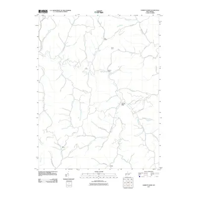 2011 Garretts Bend2011 Print · USGSLincoln County communities and remote hollows are documented here just after the turn of the millennium. Researchers can locate Bird Cemetery, the settlement of Tango, and family landmarks along Jarvis Ridge and Hazlett Fork.
 - 2011 Map of Alum Creek, 2011 Print
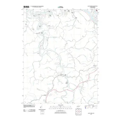 2011 Alum Creek2011 Print · USGSThe confluence of the Coal River forks in Kanawha County is documented here during the early twenty-first century. Genealogists can locate family landmarks like the Sutherland-White Cemetery and Childress Cemetery or trace the rail route through Sproul Tunnel.
 - 2011 Map of Griffithsville, 2011 Print
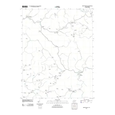 2011 Griffithsville2011 Print · USGSLincoln County at the start of the decade reveals a network of tight-knit communities tied to the creek beds and ridges. Researchers can trace family history through dozens of namesake burial sites like May Cemetery and McClure Cemetery or locate the Buck Knob Lookout Tower.
 - 2011 Map of Julian, 2011 Print
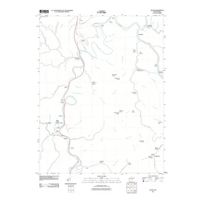 2011 Julian2011 Print · USGSIn the coal-river valleys of central West Virginia during the early 2010s, this area shows a landscape of small settlements and river-bend junctions. Genealogists can locate several family burial grounds like Anderson Cemetery and White Cemetery or trace the rail corridors through Sprout Tunnel and Horse Creek Junction.
 - 2014 Map of Garretts Bend, 2014 Print
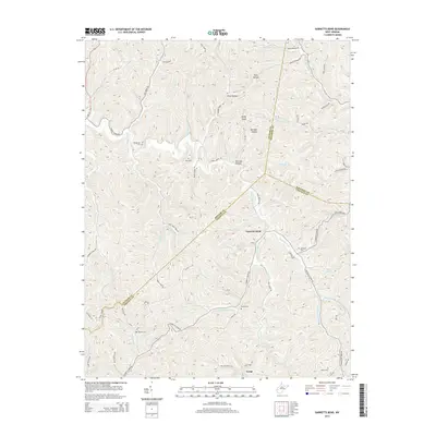 2014 Garretts Bend2014 Print · USGSThe West Virginia hollows and ridge-lines of Lincoln and Putnam counties are documented here in the early twenty-first century. Researchers can trace the drainages of Trace Fork Mud River to find family sites like Sanson Cem and the settlement of Garretts Bend.
 - 2014 Map of Griffithsville, 2014 Print
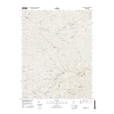 2014 Griffithsville2014 Print · USGSIn the heart of the Lincoln County coalfields and hollows during the early 2010s, this area maintains its traditional rural structure. Researchers can trace dozens of family burial sites like Midkiff Cem and Brumfield Cem or the legacy of the Buck Knob Lookout Tower.
 - 2014 Map of Julian, 2014 Print
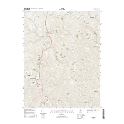 2014 Julian2014 Print · USGSCoal River country at the borders of Lincoln, Boone, and Kanawha counties shows a landscape of deep hollows and critical rail and road crossings in this mid-2010s survey. You can trace family roots at Hill Cem and White Cem or locate former hubs like Horse Creek Junction and the Lory School.
 - 2014 Map of Alum Creek, 2014 Print
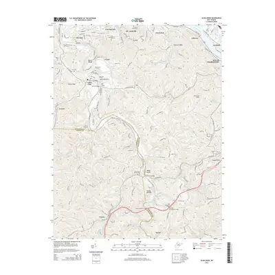 2014 Alum Creek2014 Print · USGSThe Kanawha Valley south of St. Albans and South Charleston is captured here in the mid-2010s, centered on the strategic confluence of the Coal Rivers. Trace family burial grounds like Sutherland White Cem or river landmarks like Tornado Bridge and Upper Falls Landing.
 - 2016 Map of Julian, 2016 Print
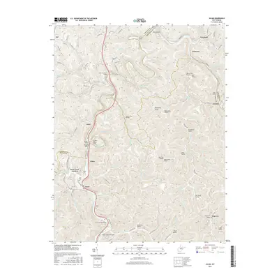 2016 Julian2016 Print · USGSThe West Virginia coal and river country comes into focus in this recent survey of the Lincoln, Boone, and Kanawha county lines. Genealogists and local historians can locate several family cemeteries, including Altman Cem and White Cem, or trace the rail-and-river paths through Julian and Brounland.
 - 2016 Map of Garretts Bend, 2016 Print
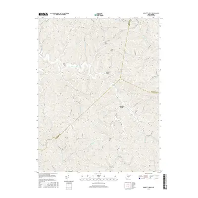 2016 Garretts Bend2016 Print · USGSLincoln County and its neighbors are mapped here during the mid-2010s, showcasing the intricate system of hollows and ridges that define this part of West Virginia. Genealogists can trace family connections through multiple burial sites such as Mount Moriah Cem, Hazlette Cem, and Sanson Cem.
 - 2016 Map of Griffithsville, 2016 Print
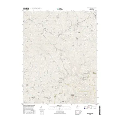 2016 Griffithsville2016 Print · USGSIn the hills of Lincoln County, this map captures the rural character of the region as it appeared in 2016. Genealogists can locate dozens of family burial grounds such as McClure Cem and Vickers Cem near settlements like Yawkey and Alkol.
 - 2016 Map of Alum Creek, 2016 Print
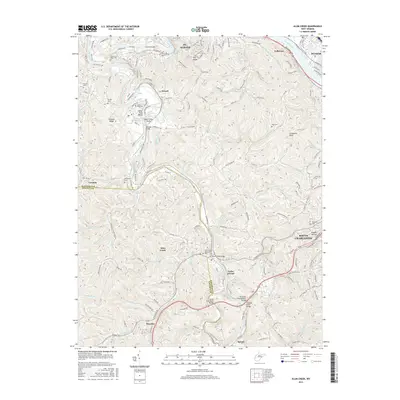 2016 Alum Creek2016 Print · USGSThe West Virginia river valleys near St. Albans and South Charleston come alive in this mid-2010s survey. Genealogists can trace several family burial sites like Sutherland-White Cem and Henley Cem among the ridges of Tornado and Alum Creek.
 - 2019 Map of Julian, 2019 Print
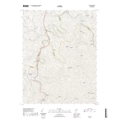 2019 Julian2019 Print · USGSThe Little Coal River valley at the borders of Lincoln, Kanawha, and Boone counties remains a landscape of deep hollows and river-bend settlements. Genealogists and local historians can trace family locations through Pate Cem, Anderson Cem, and the old Lory School.
 - 2019 Map of Griffithsville, 2019 Print
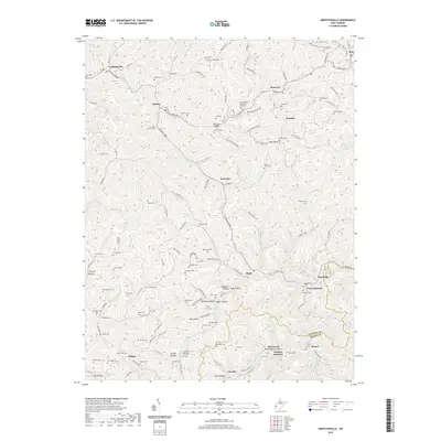 2019 Griffithsville2019 Print · USGSLincoln and Boone counties meet in this rugged corner of West Virginia during the late 2010s. Genealogists and historians can trace family lineages through dozens of upland burial sites like Owen Cem and Black Cem or locate old homesteads in McClure Hollow and Alkol.
 - 2019 Map of Alum Creek, 2019 Print
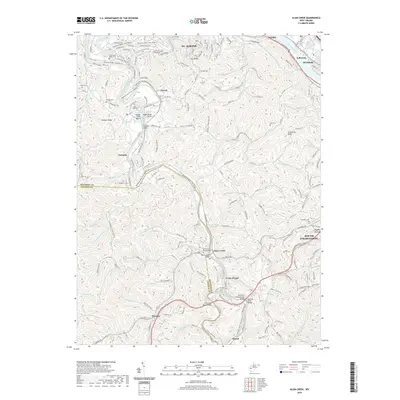 2019 Alum Creek2019 Print · USGSThe Coal River valley south of St. Albans comes to life in this detailed 2019 survey. Genealogists can trace family heritage through local burial sites like Upper Falls Cem and Templeton Cem or explore the river at the Forks of Coal Memorial Park.
 - 2019 Map of Garretts Bend, 2019 Print
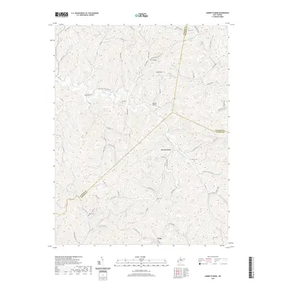 2019 Garretts Bend2019 Print · USGSIn the highlands where Kanawha, Lincoln, and Putnam counties meet, this modern survey details the deeply etched hollows and ridge-top cemeteries of rural West Virginia. Researchers can trace family history through several noted burial sites including Bird Cem, Sanson Cem, and Watts Cem.
End of results
Showing maps 1-16 of 16
Top cities near Alum Creek
- Charleston historical maps
- Teays Valley historical maps
- South Charleston historical maps
- Saint Albans historical maps
- St. Albans historical maps
- Dunbar historical maps
See more
Top neighborhoods of Alum Creek
Frequently asked questions
- What are the different types of historical maps available for Alum Creek?
- What is the oldest map of Alum Creek?
- Where can I purchase historical maps of Alum Creek for my home or office?
- Where can I download high-res historical maps of Alum Creek?
- Are there historical topographic maps available for Alum Creek?
- Is there historical aerial imagery available for Alum Creek?
- Where are historical maps of Alum Creek sourced from?