Old Maps of Alum Creek, West Virginia for Academic Research
Study the evolution of Alum Creek with 37 high-resolution historic maps. Whether you're teaching, researching, or modeling changes in land use, these maps provide essential visual documentation of urban, environmental, and geographic change.
- Analyze long-term change: Track patterns in development, transportation, and natural features.
- Ideal for environmental or urban studies: Support academic projects with primary historical map data.
- Use in the classroom or lab: Educators and researchers rely on these maps to bring historical context to life.
These maps are a powerful tool for teaching, research, and visualizing how Alum Creek has changed over the decades.
Alum Creek, WV maps
(37)- 1899 Map of Charleston
 1899 Charleston1899 Print · USGSWest Virginia's capital and the surrounding coalfields are documented here during the late nineteenth-century industrial boom. Researchers can trace early mining operations at the Graham Mines and follow pioneer rail lines like the Winifrede R. R. through the rugged river hollows.6 unique versions available
 - 1909 Map of Saint Albans
 1909 Saint Albans1909 Print · USGSThe Kanawha and Coal Rivers converge at the height of the river-and-rail era, revealing a landscape of busy lock systems and mountain settlements. Researchers can trace family roots through numerous rural landmarks like Blacks School, Scott Depot, and Alum Creek Rome PO.2 unique versions available
 - 1911 Map of Madison
 1911 Madison1911 Print · USGSBoone and Lincoln counties appear here in the early twentieth century as the rail network began to reshape the coal-bearing valleys. Researchers can trace early infrastructure through the Chesapeake and Ohio line and settlements like Madison, Uneeda, and Danville.2 unique versions available
 - 1929 Map of Madison, 1960 Print
 1929 Madison1960 Print · USGSThe Coal River valley in the late twenties reveals a landscape of industrial rail and rural schoolhouses. Genealogists can trace family footprints through numerous local sites like Julian, Uneeda, and Pine Grove Ch, or the many scattered schools such as Slabtown Sch.
 - 1931 Map of Madison
 1931 Madison1931 Print · USGSMadison and Danville center this Depression-era study of the Coal River valley as the railroad and timber industries shaped the landscape. Genealogists can locate dozens of country schools and churches, including Pine Grove Ch, Slabtown Sch, and the Pinnacle Tunnel.3 unique versions available
 - 1931 Map of Saint Albans
 1931 Saint Albans1931 Print · USGSThe Kanawha River valley during the early thirties shows an evolving industrial corridor between Saint Albans and Nitro. Genealogists can locate scores of rural schoolhouses and vanished post offices, including Seldom Seen School, Tornado PO, and Lock Seven.2 unique versions available
 - 1933 Map of Saint Albans
 1933 Saint Albans1933 Print · USGSAs industrial growth transformed the Kanawha Valley in the 1930s, rural hill communities maintained a dense network of country schools and small post offices. Trace family roots and vanished landmarks like the U S Naval Ordnance Plant, Black Betsy, and the Seldom Seen School.2 unique versions available
 - 1954 Map of Charleston
 1954 Charleston1954 Print · USGSWest Virginia’s industrial heart and mountain highlands are captured here during the mid-fifties, centered on the capital city. Researchers can trace historic river-and-rail corridors along the Kanawha River and locate remote peaks within the Monongahela National Forest.
 - 1957 Map of Charleston, 1966 Print
 1957 Charleston1966 Print · USGSMid-century West Virginia unfolds along the industrial Kanawha River valley and into the high Allegheny Mountains. Genealogists and historians can trace the vital rail lines of the Chesapeake and Ohio and locate riverside settlements from Saint Albans to Buckhannon.3 unique versions available
 - 1958 Map of Charleston
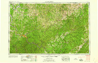 1958 Charleston1958 Print · USGSMid-century West Virginia is defined here by the industrial corridor of the Kanawha River and the high ridges of the Allegheny Mountains. Researchers can trace the rail networks of the New York Central or locate remote highland communities like Pickens and Hillsboro.
 - 1958 Map of Alum Creek, 1960 Print
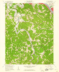 1958 Alum Creek1960 Print · USGSIn the late fifties, the winding Coal River valley south of Saint Albans was a network of small schoolhouses and rural chapels. Genealogists and local historians can trace family locations at Bryan Cem, District High Sch, and Upper Falls (Tornado PO).3 unique versions available
 - 1958 Map of Garretts Bend, 1960 Print
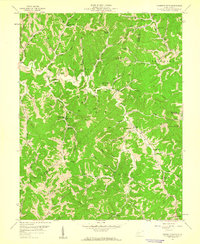 1958 Garretts Bend1960 Print · USGSLincoln and Kanawha Counties are shown here during the late 1950s as the regional energy economy expanded through the hills. Genealogists and historians can locate numerous rural landmarks like Sunnydale School, Youngs Chapel, and the settlement of Garretts Bend.4 unique versions available
 - 1961 Map of Charleston
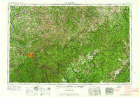 1961 Charleston1961 Print · USGSWest Virginia's capital region and the highlands to the east are shown in detail during the early sixties. Genealogists and historians can trace rail networks like the Baltimore and Ohio RR and find early state parks such as Watoga State Park.
 - 1962 Map of Julian, 1964 Print
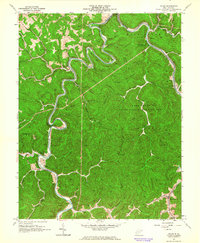 1962 Julian1964 Print · USGSBoone and Lincoln Counties are shown in the early sixties as the rail-and-river economy hummed along the Little Coal River. Researchers can trace family history at the White Cem or locate former landmarks like McCorkle School and Horse Creek Junction.4 unique versions available
 - 1962 Map of Griffithsville, 1964 Print
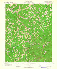 1962 Griffithsville1964 Print · USGSThe rural hollows of Lincoln and Boone counties are shown here in the early sixties during an era of intensive oil and gas development. Researchers can trace family history through dozens of named plots like Pauley Cem or locate community centers like Yawkey Sch and Morrisvale.3 unique versions available
 - 1976 Map of Alum Creek, 1980 Print
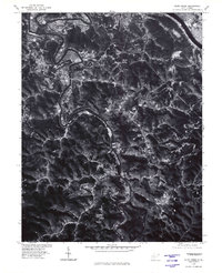 1976 Alum Creek1980 Print · USGSThe river valleys south of the Kanawha were heavily wooded and sparsely settled in the mid-seventies. Researchers can trace the exact 1976 footprints of riverside communities like Upper Falls, Forks of Coal, and Alum Creek.
 - 1984 Map of Charleston
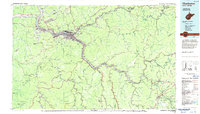 1984 Charleston1984 Print · USGSWest Virginia's capital and the industrial Kanawha Valley are shown here in the mid-eighties as modern interstates began to reshape the region. Local researchers can locate family-named landmarks like Reamer (Sybial PO) and institutional anchors like West Virginia State College.2 unique versions available
 - 2011 Map of Garretts Bend, 2011 Print
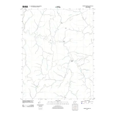 2011 Garretts Bend2011 Print · USGSLincoln County communities and remote hollows are documented here just after the turn of the millennium. Researchers can locate Bird Cemetery, the settlement of Tango, and family landmarks along Jarvis Ridge and Hazlett Fork.
 - 2011 Map of Alum Creek, 2011 Print
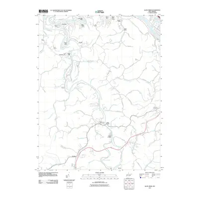 2011 Alum Creek2011 Print · USGSThe confluence of the Coal River forks in Kanawha County is documented here during the early twenty-first century. Genealogists can locate family landmarks like the Sutherland-White Cemetery and Childress Cemetery or trace the rail route through Sproul Tunnel.
 - 2011 Map of Griffithsville, 2011 Print
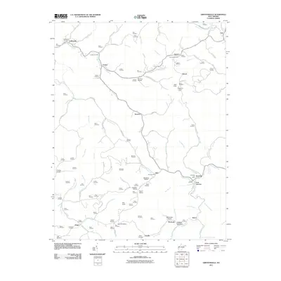 2011 Griffithsville2011 Print · USGSLincoln County at the start of the decade reveals a network of tight-knit communities tied to the creek beds and ridges. Researchers can trace family history through dozens of namesake burial sites like May Cemetery and McClure Cemetery or locate the Buck Knob Lookout Tower.
 - 2011 Map of Julian, 2011 Print
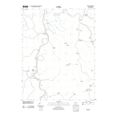 2011 Julian2011 Print · USGSIn the coal-river valleys of central West Virginia during the early 2010s, this area shows a landscape of small settlements and river-bend junctions. Genealogists can locate several family burial grounds like Anderson Cemetery and White Cemetery or trace the rail corridors through Sprout Tunnel and Horse Creek Junction.
 - 2014 Map of Garretts Bend, 2014 Print
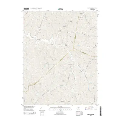 2014 Garretts Bend2014 Print · USGSThe West Virginia hollows and ridge-lines of Lincoln and Putnam counties are documented here in the early twenty-first century. Researchers can trace the drainages of Trace Fork Mud River to find family sites like Sanson Cem and the settlement of Garretts Bend.
 - 2014 Map of Griffithsville, 2014 Print
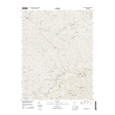 2014 Griffithsville2014 Print · USGSIn the heart of the Lincoln County coalfields and hollows during the early 2010s, this area maintains its traditional rural structure. Researchers can trace dozens of family burial sites like Midkiff Cem and Brumfield Cem or the legacy of the Buck Knob Lookout Tower.
 - 2014 Map of Julian, 2014 Print
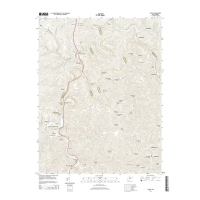 2014 Julian2014 Print · USGSCoal River country at the borders of Lincoln, Boone, and Kanawha counties shows a landscape of deep hollows and critical rail and road crossings in this mid-2010s survey. You can trace family roots at Hill Cem and White Cem or locate former hubs like Horse Creek Junction and the Lory School.
 - 2014 Map of Alum Creek, 2014 Print
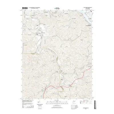 2014 Alum Creek2014 Print · USGSThe Kanawha Valley south of St. Albans and South Charleston is captured here in the mid-2010s, centered on the strategic confluence of the Coal Rivers. Trace family burial grounds like Sutherland White Cem or river landmarks like Tornado Bridge and Upper Falls Landing.
Showing maps 1-25 of 37
Top cities near Alum Creek
- Charleston historical maps
- Teays Valley historical maps
- South Charleston historical maps
- Saint Albans historical maps
- St. Albans historical maps
- Dunbar historical maps
See more
Top neighborhoods of Alum Creek
Frequently asked questions
- What are the different types of historical maps available for Alum Creek?
- What is the oldest map of Alum Creek?
- Where can I purchase historical maps of Alum Creek for my home or office?
- Where can I download high-res historical maps of Alum Creek?
- Are there historical topographic maps available for Alum Creek?
- Is there historical aerial imagery available for Alum Creek?
- Where are historical maps of Alum Creek sourced from?