2000s (21st Century) Maps of McDowell County, West Virginia
Explore 24 historic maps of McDowell County from the 2000s (21st Century). These maps offer a rare glimpse into what life looked like during the 2000s — showing old roads, neighborhoods, homes, and landmarks that have changed or disappeared over time.
Whether you're researching your family's past, planning a metal detecting trip, or studying how McDowell County's landscape evolved across the 2000s, these high-resolution maps are a powerful tool for exploring the history of this region.
- Focus on a specific era: All maps on this page are from the 2000s, giving you a focused view of this time period.
- See what’s changed: Compare century-old streets, trails, and buildings to today's modern landscape using overlays and satellite layers.
- Research with precision: Use these maps for genealogy, historical research, land use analysis, or educational projects.
- View, download, or print: Maps are fully viewable online in high resolution, and can be downloaded or printed for your own records.
Start exploring McDowell County's history through authentic maps from the 2000s. This is your window into the past.
McDowell County, WV maps
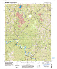
(24)- 2001 Map of Bramwell, 2003 Print
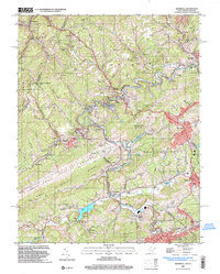 2001 Bramwell2003 Print · USGSThe West Virginia and Virginia borderlands come into focus at the turn of the millennium, revealing a landscape shaped by the coal industry and the winding Bluestone River. Genealogists can trace family names at Pocahontas Cem or find old community centers like Abbs Valley Sch and Mt Sinai Ch.
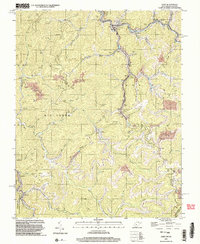
 - 2001 Map of Panther, 2003 Print
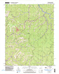 2001 Panther2003 Print · USGSPanther and the Tug river valley are captured here at the turn of the century as coal and rail still define the McDowell County landscape. Genealogists can trace family heritage through dozens of local burial sites including Sullivan Cem and Lester Cem.
 - 2001 Map of War, 2003 Print
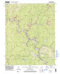 2001 War2003 Print · USGSMcDowell County's mining and mountain communities are captured here just after the turn of the millennium. Trace the industrial and family history of War, Berwind, and Bartley while following old routes along the Dry Fork.
 - 2001 Map of Anawalt, 2003 Print
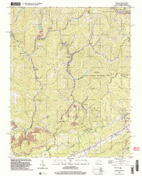 2001 Anawalt2003 Print · USGSThe West Virginia-Virginia borderlands appear at the start of the millennium, dominated by the winding rail lines and steep ridges of the coalfields. Researchers can trace local heritage through settlements like Anawalt, Jenkinjones, and Pageton, or locate several Cem sites and the Hay Ch tucked among the hollows.
 - 2001 Map of Wharncliffe, 2003 Print
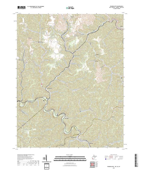
 2001 Wharncliffe2003 Print · USGSThe coal country of Mingo County is captured at the turn of the millennium, showing a landscape defined by industrial mines and river-bottom settlements. Genealogists can trace family locations near Wharncliffe, War Eagle, and the Hardy Union Ch.
 - 2001 Map of Gary, 2003 Print
 2001 Gary2003 Print · USGSThe coal country of southern West Virginia is shown at the start of the 2000s, centered on the company towns and hollows of McDowell County. Trace the industrial landscape from the Tipple at Thorpe to the scattered settlements of Elbert, Filbert, and Newhall.
 - 2022 Map of Amonate, 2022 Print
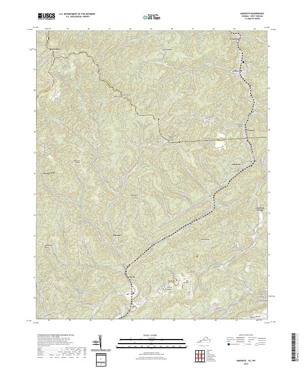 2022 Amonate2022 Print · USGSThe coalfield communities of Tazewell County and West Virginia come alive in this detailed recent survey. Genealogists and local historians can trace family locations near Amonate, Bandy, and the Berwind Cem along the headwaters of Indian Cr.
 - 2022 Map of Patterson, 2022 Print
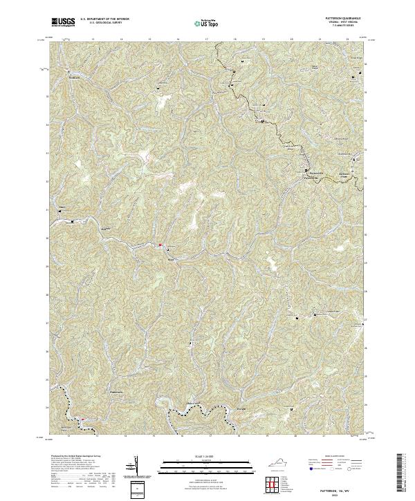 2022 Patterson2022 Print · USGSBuchanan County, Virginia, and McDowell County, West Virginia, are mapped here in the modern era, showing a landscape of deep hollows and high ridges. Researchers can locate numerous family burial sites like Irvin Payne Cem and settlements such as Paynesville or Jackson Flats.
 - 2023 Map of War, 2023 Print
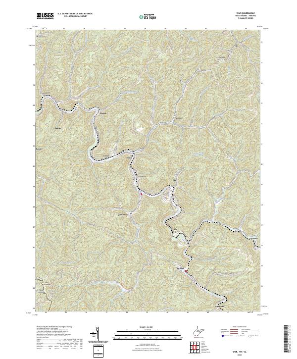 2023 War2023 Print · USGSSouthern West Virginia coal country is mapped in detail during the early 2020s, showing the tight-knit valley settlements along the Dry Fork. Researchers can trace the layout of Warriormine, Caretta, and Berwind or locate family sites like the Deskins Cem.
 - 2023 Map of Anawalt, 2023 Print
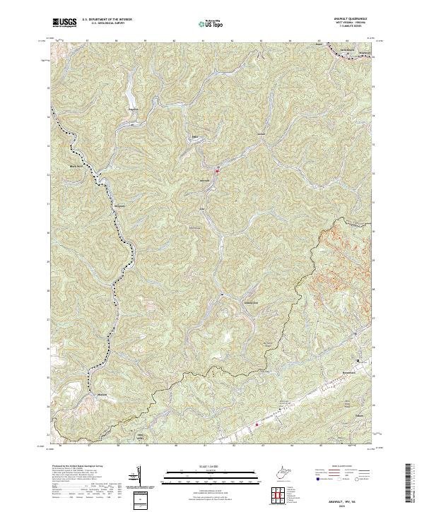 2023 Anawalt2023 Print · USGSWest Virginia's coal country and the Virginia borderlands are revealed in this modern survey of the Tug Fork headwaters. Researchers can trace the legacy of mining settlements and family burial grounds like Jenkinjones, Anawalt, and the Asbury Cem near Boissevain.
 - 2023 Map of Gary, 2023 Print
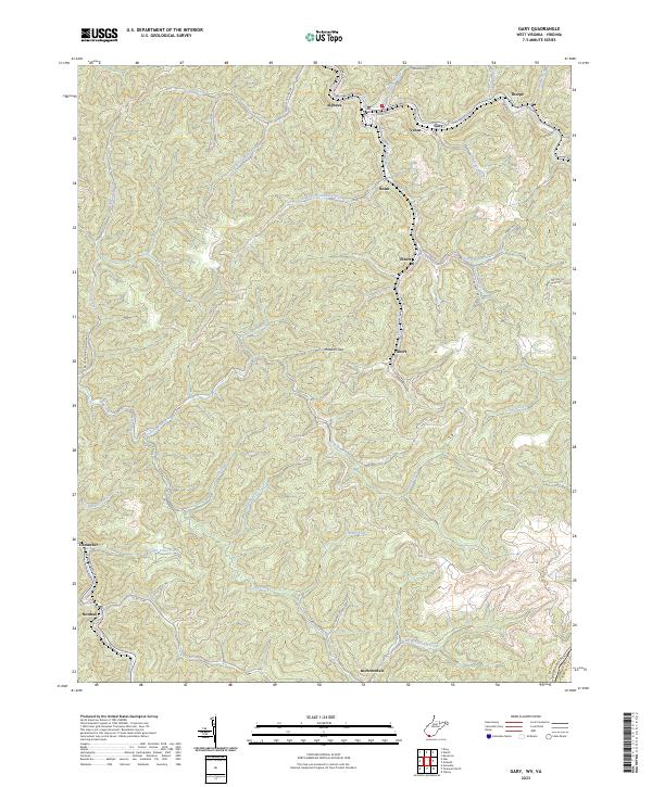 2023 Gary2023 Print · USGSSouthern West Virginia's coal-heritage corridor is shown here as it appears today, mapping the communities from Gary to Thorpe. Genealogists and researchers can trace local family landmarks through settlements like Filbert, Elbert, and Brewsterdale.
 - 2023 Map of Bramwell, 2023 Print
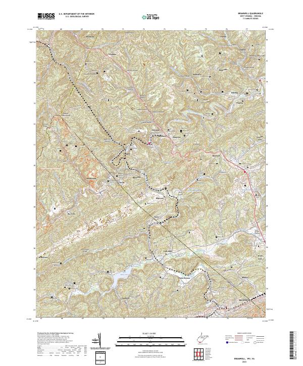 2023 Bramwell2023 Print · USGSThe coal country of the West Virginia and Virginia border comes into sharp focus in this detailed modern survey. Genealogists and local historians can trace family burial sites and old mining communities from Bramwell and Pocahontas to the Bryant Memorial Cem and Pinnacle Rock.
 - 2023 Map of Wharncliffe, 2023 Print
 2023 Wharncliffe2023 Print · USGSMingo County, West Virginia, and the surrounding borders of Virginia and Kentucky are captured in this modern survey of the Tug Fork valley. Researchers can trace family history through numerous remote burial sites like Toler Cem, Snow Cem, and Mounts Cem.
 - 2023 Map of Pineville, 2023 Print
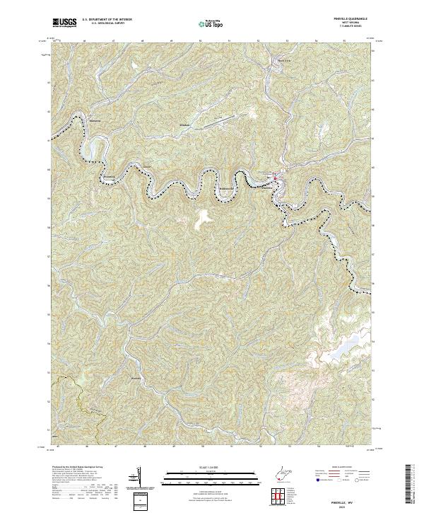 2023 Pineville2023 Print · USGSPineville and the surrounding Wyoming County coalfields appear in this modern survey, showing how the river and ridges define local life. Researchers can trace family history through the Posey England cemetery or locate the Wyoming County Courthouse and settlements like Marianna and Woosley.
 - 2023 Map of Keystone, 2023 Print
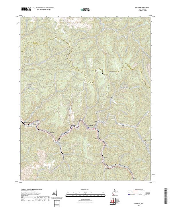 2023 Keystone2023 Print · USGSThe coalfield valleys of southern West Virginia are captured here in the early twenty-first century, showing the dense settlement patterns along Elkhorn Creek. Local historians can trace old community footprints from Keystone to Ennis and find upland landmarks like Mitchem Cem and Shawnee Mountain.
 - 2023 Map of Gilbert, 2023 Print
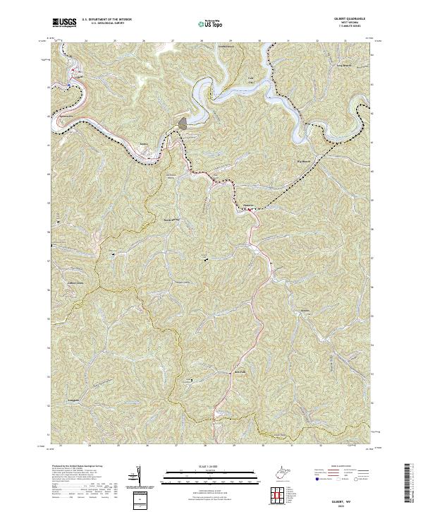 2023 Gilbert2023 Print · USGSIn the steep river valleys of Southern West Virginia, this recent survey documents the landscape along the Guyandotte River and R D Bailey Lake. Genealogists can trace family landmarks like Lester Cemeteries, Davis Cem, and the communities of North Spring and Ikes Fork.
 - 2023 Map of Crumpler, 2023 Print
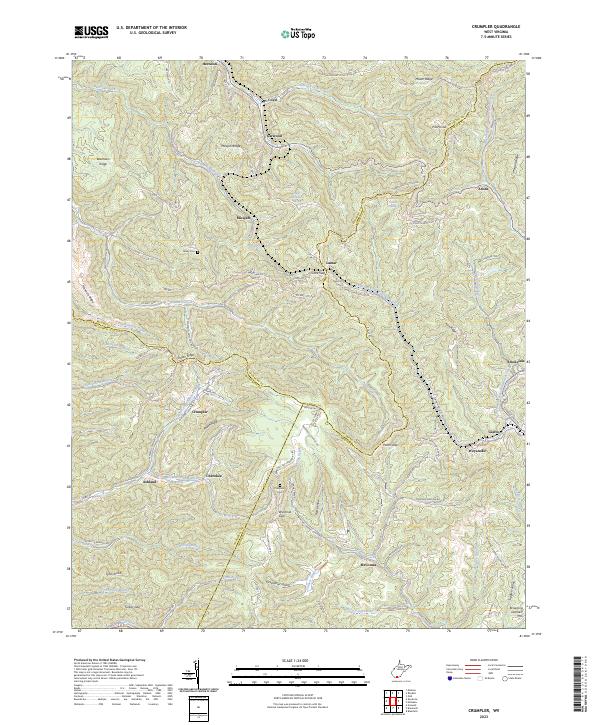 2023 Crumpler2023 Print · USGSThe West Virginia coalfields near the McDowell and Mercer county line are documented here in recent detail. Genealogists and local researchers can trace the roads connecting settlements like Crumpler, Ashland, and McComas, or locate family sites like Bailey Cem.
 - 2023 Map of Baileysville, 2023 Print
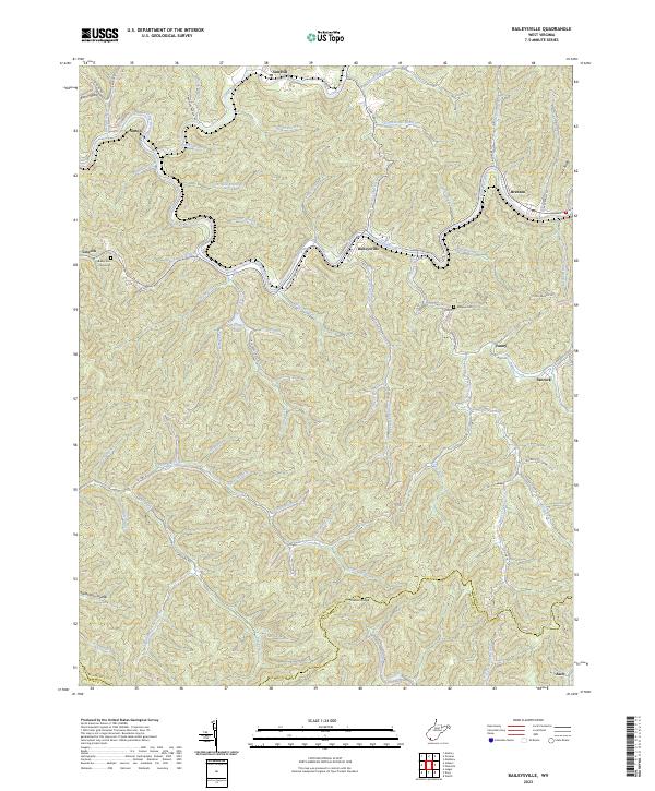 2023 Baileysville2023 Print · USGSWyoming County's coal country comes into focus in this recent survey of the Guyandotte River valley. Genealogists can locate family landmarks like the Bailey Cem (Historical) and Morgan Cem or trace settlements at Baileysville, Fanny, and Sun Hill.
 - 2023 Map of Welch, 2023 Print
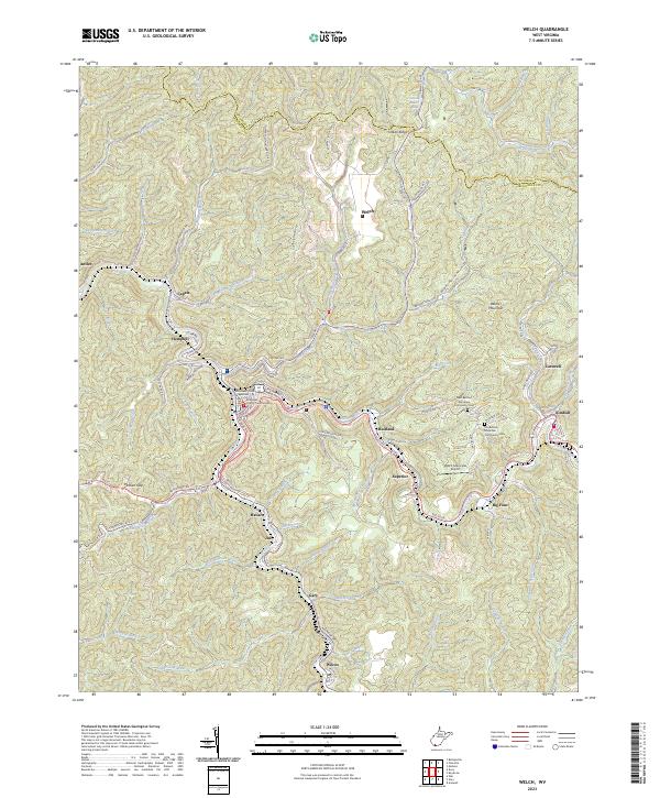 2023 Welch2023 Print · USGSMcDowell County's coal country comes into sharp focus during this era of modern topography and infrastructure. Genealogists can locate family sites near Old Belcher Mountain Community Cem or trace the river-bound settlements of Havaco and Wilcoe.
 - 2023 Map of Davy, 2023 Print
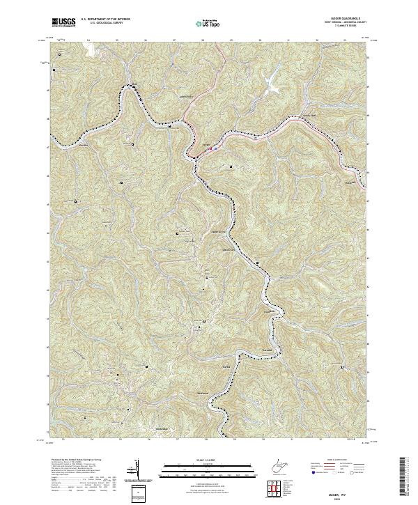
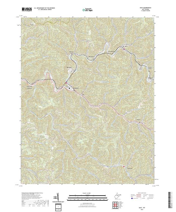 2023 Davy2023 Print · USGSMcDowell County's narrow valleys and mining heritage are documented here in the early twenty-first century. Researchers can trace the layout of Coalwood and Davy, locate the Iaeger Memorial Cem, and follow roads like Old Mining Rd through the hollows.
 - 2023 Map of Iaeger, 2023 Print
 2023 Iaeger2023 Print · USGSModern McDowell County settlement and geography are centered on the Tug Fork and Dry Fork in this recent survey. Local historians and genealogists can trace family landmarks like Kennedy Cem, Lockhart Cem, and the communities of Iaeger and Avondale.
 - 2023 Map of Panther, 2023 Print
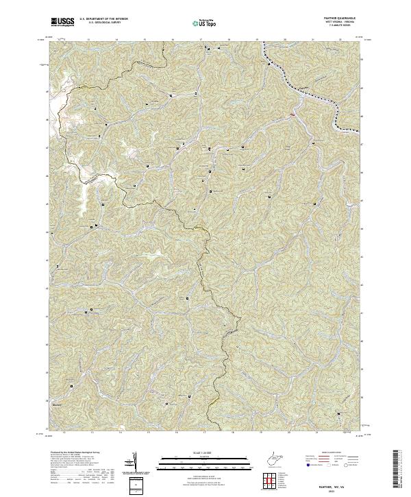 2023 Panther2023 Print · USGSThe rugged coal country of the West Virginia and Virginia border comes alive in this survey. Genealogists can locate numerous family burial grounds including Sullivan Cem and Estep Cem tucked into remote hollows like John Hollow.
 - 2023 Map of Bradshaw, 2023 Print
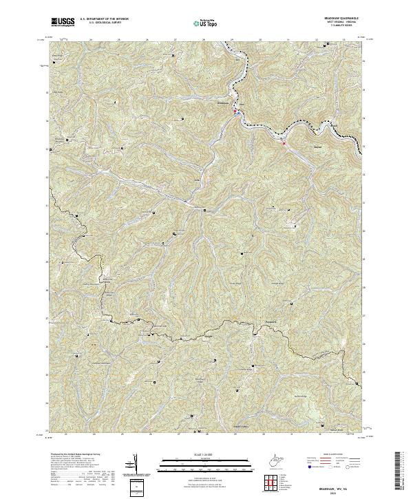 2023 Bradshaw2023 Print · USGSCrossing the West Virginia and Virginia border along State Line Ridge, this contemporary survey documents the enduring settlement patterns of the central Appalachians. Researchers can locate dozens of remote family burial sites like Compton Mountain Cem, Mitchell Cem, and Wimmer Cem.
 - 2023 Map of Tazewell North, 2023 Print
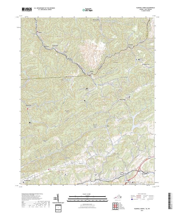 2023 Tazewell North2023 Print · USGSThe borderlands of Virginia and West Virginia are detailed here, centered on the historic communities of Tazewell and North Tazewell. Genealogists can trace family names through the Pruett Family Cem, Yost Family Cem, and the settlement at Sayersville.
End of results
Showing maps 1-24 of 24
Top cities of McDowell County
- Welch historical maps
- Gary historical maps
- War historical maps
- Northfork historical maps
- Keystone historical maps
- Raysal historical maps
See more
Frequently asked questions
- What are the different types of historical maps available for McDowell County?
- What is the oldest map of McDowell County?
- Where can I purchase historical maps of McDowell County for my home or office?
- Where can I download high-res historical maps of McDowell County?
- Are there historical topographic maps available for McDowell County?
- Is there historical aerial imagery available for McDowell County?
- Where are historical maps of McDowell County sourced from?