Old Maps of Mill Creek, West Virginia for Academic Research
Study the evolution of Mill Creek with 14 high-resolution historic maps. Whether you're teaching, researching, or modeling changes in land use, these maps provide essential visual documentation of urban, environmental, and geographic change.
- Analyze long-term change: Track patterns in development, transportation, and natural features.
- Ideal for environmental or urban studies: Support academic projects with primary historical map data.
- Use in the classroom or lab: Educators and researchers rely on these maps to bring historical context to life.
These maps are a powerful tool for teaching, research, and visualizing how Mill Creek has changed over the decades.
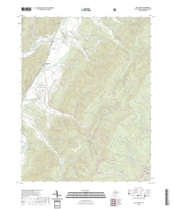
Mill Creek, WV maps
(14)- 1889 Map of Beverly
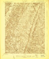
 1889 Beverly1889 Print · USGSThe high Allegheny ridges and river forks of West Virginia are mapped here in the late 1880s, highlighting the rugged settlement patterns of Randolph and Pocahontas counties. Researchers can trace early family-named locations such as Days Mills, locate the Boundary Line In Dispute, and find remote outposts like Traveller's Repose.
 - 1892 Map of Beverly
 1892 Beverly1892 Print · USGSCentral West Virginia's high-mountain settlements and disputed county lines are captured here in the late nineteenth century. Genealogists and historians can trace family locations and early industry near Beverly, Huttonsville, and the remote Days Mills.5 unique versions available
 - 1922 Map of Durbin
 1922 Durbin1922 Print · USGSHigh mountain passes and rail hubs near the Pocahontas county line are captured here in the early twenties. Genealogists and historians can trace family locations through numerous rural schools like Riffle Creek School and the remote Cheat Bridge settlement.4 unique versions available
 - 1924 Map of Durbin
 1924 Durbin1924 Print · USGSRandolph and Pocahontas counties appear here in the early twenties, during a period of heavy timber railroading and mountain settlement. Researchers can locate vanished landmarks like Burner Settlement, the high crossing at Cheat Bridge, and numerous rural schools like Lee Bell School.4 unique versions available
 - 1949 Map of Charlottesville
 1949 Charlottesville1949 Print · USGSThe Shenandoah Valley and Blue Ridge appear in the late 1940s as a thriving corridor of rail and river commerce. Researchers can trace the mid-century footprints of Harrisonburg, Staunton, and Culpeper alongside the historic routes of the Southern Railway.2 unique versions available
 - 1956 Map of Charlottesville, 1966 Print
 1956 Charlottesville1966 Print · USGSThe Shenandoah Valley and Blue Ridge are captured in detail during the mid-1960s as the modern interstate system began to emerge. Genealogists and historians can trace rail-connected hubs like Waynesboro or follow the river paths of the Rapidan River and Rivanna River.4 unique versions available
 - 1977 Map of Mill Creek
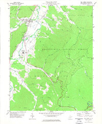 1977 Mill Creek1977 Print · USGSThe Tygart Valley River corridor comes alive in the late 1970s, showing the riverside growth of Huttonsville and Mill Creek. Local historians can trace the foundations of the Tygart Valley High Sch and find remote ridge markers like Hutton Knob and Cromer Top.2 unique versions available
 - 1981 Map of Elkins, 1983 Print
 1981 Elkins1983 Print · USGSThe West Virginia mountains in the early eighties were a hub of rail-based industry and emerging conservation lands. Genealogists and historians can trace the paths of the Western Maryland RR through Elkins and locate small upland communities like Harpertown, Bowden, and Wymer.
 - 1995 Map of Mill Creek, 1998 Print
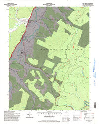 1995 Mill Creek1998 Print · USGSRandolph County's Tygart Valley appears in the mid-nineties as a mix of river-bottom agriculture and mountain forest. Trace the layout of Huttonsville and Mill Creek, or locate local landmarks like the Old Brick Ch Cemetery and Edwards Chapel.
 - 2011 Map of Mill Creek, 2011 Print
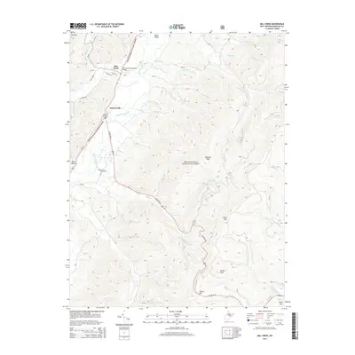
 2011 Mill Creek2011 Print · USGSCovers Mill Creek, including Huttonsville, Randolph County, and other nearby areas
 - 2014 Map of Mill Creek, 2014 Print
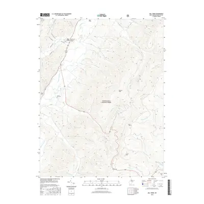
 2014 Mill Creek2014 Print · USGSCovers Mill Creek, including Huttonsville, Randolph County, and other nearby areas
 - 2016 Map of Mill Creek, 2016 Print
 2016 Mill Creek2016 Print · USGSCovers Mill Creek, including Huttonsville, Randolph County, and other nearby areas
 - 2019 Map of Mill Creek, 2019 Print
 2019 Mill Creek2019 Print · USGSCovers Mill Creek, including Huttonsville, Randolph County, and other nearby areas
 - 2023 Map of Mill Creek, 2023 Print
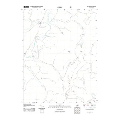
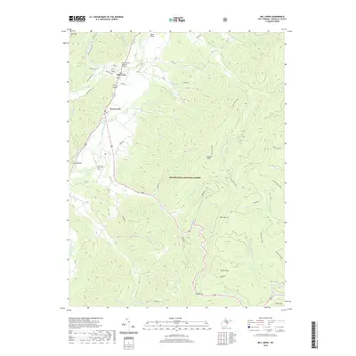
 2023 Mill Creek2023 Print · USGSThe Tygart Valley at the edge of the Monongahela National Forest shows a deep connection between settlement and terrain. Genealogists and historians can trace family-named sites like Old Brick Church Cem and prominent summits including Hutton Knob and White Top.
End of results
Showing maps 1-14 of 14
Top cities near Mill Creek
- Elkins historical maps
- Beverly historical maps
- Valley Bend historical maps
- East Dailey historical maps
- Norton historical maps
- Durbin historical maps
See more
Frequently asked questions
- What are the different types of historical maps available for Mill Creek?
- What is the oldest map of Mill Creek?
- Where can I purchase historical maps of Mill Creek for my home or office?
- Where can I download high-res historical maps of Mill Creek?
- Are there historical topographic maps available for Mill Creek?
- Is there historical aerial imagery available for Mill Creek?
- Where are historical maps of Mill Creek sourced from?