Old Maps of Smithfield, West Virginia for Academic Research
Study the evolution of Smithfield with 25 high-resolution historic maps. Whether you're teaching, researching, or modeling changes in land use, these maps provide essential visual documentation of urban, environmental, and geographic change.
- Analyze long-term change: Track patterns in development, transportation, and natural features.
- Ideal for environmental or urban studies: Support academic projects with primary historical map data.
- Use in the classroom or lab: Educators and researchers rely on these maps to bring historical context to life.
These maps are a powerful tool for teaching, research, and visualizing how Smithfield has changed over the decades.
Smithfield, WV maps
(25)- 1903 Map of Littleton
 1903 Littleton1903 Print · USGSThe West Virginia and Pennsylvania borderlands appear here at the turn of the century, marked by deep ridges and creek-side settlements. Trace the path of the B. and O. R. R. as it connects Littleton to outlying hamlets like Wileyville and Burchfield.
 - 1905 Map of Centerpoint
 1905 Centerpoint1905 Print · USGSWest Virginia's heartland at the peak of the railroad era is meticulously charted here, revealing a dense network of ridge-top settlements and valley post offices. Trace the paths of the Baltimore and Ohio RR through Salem and locate lost landmarks like Eagle Mills, Jockeycamp, and Big Battle.3 unique versions available
 - 1905 Map of Littleton
 1905 Littleton1905 Print · USGSWetzel County and the surrounding borderlands appear here in the early twentieth century, showing a landscape defined by steep ridges and rail corridors. Researchers can trace the B and O RR through Littleton or find small settlements like Saint Joseph and Silver Hill.2 unique versions available
 - 1924 Map of Centerpoint, 1957 Print
 1924 Centerpoint1957 Print · USGSDoddridge and Harrison counties are shown here in the mid-1920s, when small-town life revolved around the railroad and local schoolhouses. Genealogists can locate family homesteads near landmarks like Alvy P O Stringtown, Smithton Smithburg Sta, and Fairview Church.2 unique versions available
 - 1924 Map of Littleton, 1957 Print
 1924 Littleton1957 Print · USGSWetzel County at the height of the rail era shows a landscape densely packed with small-town life and rural industry. Genealogists can trace family names and locations at Scheidler Run Church, Otter Den School, and along the Baltimore and Ohio line.
 - 1925 Map of Centerpoint
 1925 Centerpoint1925 Print · USGSDoddridge and Harrison counties are shown here in the mid-1920s, highlighting a landscape of deep hollows and ridge-top farms. Researchers can trace the Baltimore and Ohio rail line through Salem or find small rural landmarks like Victory Church and Lima PO.4 unique versions available
 - 1926 Map of Littleton
 1926 Littleton1926 Print · USGSWetzel County in the mid-twenties is a landscape of high ridges and deep hollows where community life centered on countless rural schools and churches. Trace family roots and vanished landmarks from Saint Joseph down to Smithfield, including Higgins Chapel and Antioch School.2 unique versions available
 - 1949 Map of Clarksburg
 1949 Clarksburg1949 Print · USGSThe upper Ohio River valley and the industrial heart of West Virginia come into focus during this post-war period. Genealogists and researchers can trace the rail corridors of the Baltimore and Ohio and locate centers like Fairmont, Grafton, and Waynesburg.
 - 1956 Map of Clarksburg, 1966 Print
 1956 Clarksburg1966 Print · USGSThe Ohio River valley and the industrial heart of West Virginia are seen here in the mid-1950s as rail and river commerce thrived. Researchers can trace historic transport lines like the Baltimore and Ohio RR and locate ancestral homes in Clarksburg, Moundsville, or Parkersburg.2 unique versions available
 - 1960 Map of Big Run, 1962 Print
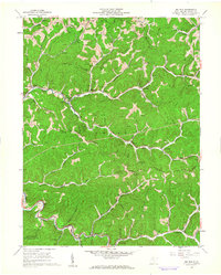 1960 Big Run1962 Print · USGSWetzel County in the early sixties is shown as a bustling energy landscape of wells and ridges. Researchers can locate family landmarks like Stocking Cem, follow the Baltimore and Ohio rail line, or trace the rural settlements of Smithfield and Big Run.2 unique versions available
 - 1961 Map of Clarksburg
 1961 Clarksburg1961 Print · USGSThe mid-century industrial and river landscapes of West Virginia and Ohio are detailed here, centered on the Ohio River. Researchers can trace the Baltimore and Ohio rail lines connecting towns like Parkersburg, Clarksburg, and Monongah.
 - 1961 Map of Folsom, 1963 Print
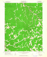 1961 Folsom1963 Print · USGSWetzel and Harrison counties are shown during the early 1960s, a period when the valley floors were dominated by the Baltimore and Ohio Railroad and the energy industry. Genealogists can locate family sites like Morgan Cem and McIntire Fork Cem or trace the rural settlements of Hartzel and Smithfield.2 unique versions available
 - 1982 Map of Clarksburg, 1983 Print
 1982 Clarksburg1983 Print · USGSNorth Central West Virginia in the early eighties reveals a landscape deeply connected to its coal and gas resources. Genealogists and researchers can trace family landmarks and historical settlements from Clarksburg to Buckhannon, or locate sites like Quiet Dell and Watters Smith Memorial State Park.
 - 1984 Map of Moundsville
 1984 Moundsville1984 Print · USGSThe Ohio River valley and the Appalachian interior meet in the mid-eighties as a hub of rail and river commerce. Genealogists and historians can trace the development of river towns like New Martinsville, inland hubs like Waynesburg, and the path of the B & O RR.
 - 1988 Map of Clarksburg, 1989 Print
 1988 Clarksburg1989 Print · USGSThe central Appalachians are documented in detail during the late eighties, showing the industrial and river-based economies of West Virginia, Ohio, and Pennsylvania. Researchers can trace historic rail routes like the B & O RR and locate river towns from St Marys to Parkersburg.
 - 2011 Map of Big Run, 2011 Print
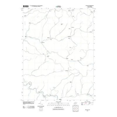 2011 Big Run2011 Print · USGSWetzel County settlements and family burial grounds are meticulously documented in this early twenty-first-century survey. Genealogists can locate family landmarks such as Allen Chapel, the Big Run Post Office, and the Ice Cemetery.
 - 2011 Map of Folsom, 2011 Print
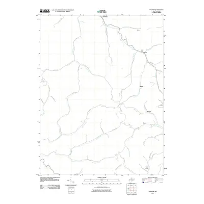 2011 Folsom2011 Print · USGSWetzel County's narrow valleys and winding creeks are captured here at the start of the 2010s. Genealogists and local researchers can trace family roots through several burial sites including Stout Cemetery, Dye Cemetery, and the Folsom Post Office.
 - 2014 Map of Big Run, 2014 Print
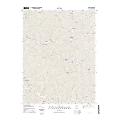 2014 Big Run2014 Print · USGSWetzel County's narrow valleys and high ridges are shown here in the early twenty-first century as a network of small creek-side settlements. Genealogists can trace family roots through numerous hilltop burial grounds like Shuman Cem, Borden Cem, and Chutes Cem.
 - 2014 Map of Folsom, 2014 Print
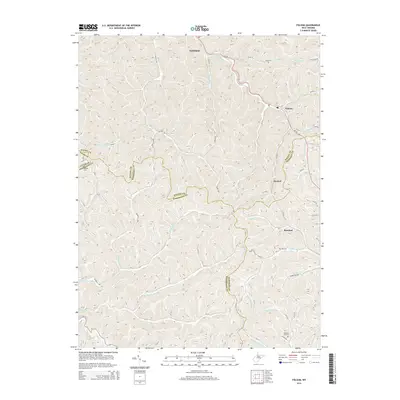 2014 Folsom2014 Print · USGSWetzel County and its neighbors are shown here in the early 2010s, defined by the winding creek valleys of the S Fork Fishing Cr. Researchers can trace old family roots at Stout Cem or Dye Cem and locate the historic centers of Smithfield and Hartzel.
 - 2016 Map of Folsom, 2016 Print
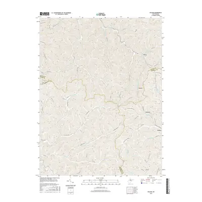 2016 Folsom2016 Print · USGSThis mid-2010s survey captures the borderlands of Wetzel and Harrison counties where the S Fork Fishing Cr drainage shapes local life. Researchers can trace ancestral locations near Folsom or Wallace and locate family burial sites at Stout Cem and Dye Cem.
 - 2016 Map of Big Run, 2016 Print
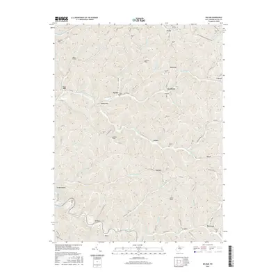 2016 Big Run2016 Print · USGSWetzel County's deep hollows and high ridges are captured here during the mid-2010s, showing a landscape of scattered rural settlements and family cemeteries. Genealogists can locate family burial sites like Kilcoyne Cem and Burchfield Cem or trace the early paths of Kodol and Pricetown.
 - 2019 Map of Big Run, 2019 Print
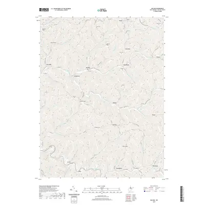 2019 Big Run2019 Print · USGSThe valleys and ridges of Wetzel County are documented here in detail during the late twenty-teens. Genealogists can trace family names and burial sites at Kilcoyne Cem and Burchfield Cem, or locate historic homesteads near Smithfield and Kodol.
 - 2019 Map of Folsom, 2019 Print
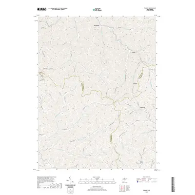 2019 Folsom2019 Print · USGSThe rural communities of Smithfield and Folsom sit at the intersection of four West Virginia counties in this modern topographic survey. Researchers can trace family history through local burial sites like McIntire Fork Cem and Dye Cem or explore the drainage of Arches Fork.
 - 2023 Map of Big Run, 2023 Print
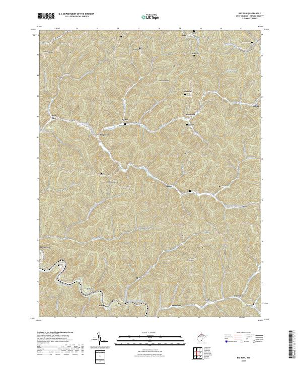 2023 Big Run2023 Print · USGSWetzel County's steep ridges and winding hollows are documented here in the early twenty-first century. Researchers can locate numerous family burial sites and rural communities like Sincerity, Burchfield, and the Pricetown Cem along the North Fork Fishing Creek.
 - 2023 Map of Folsom, 2023 Print
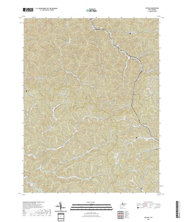 2023 Folsom2023 Print · USGSThe northern West Virginia hill country near the intersection of Wetzel, Harrison, and Doddridge counties is shown here in its modern rural character. Genealogists can locate family landmarks such as Stout Run Cem, Dye Cem, and the old crossroads at Hartzel.
End of results
Showing maps 1-25 of 25
Top cities near Smithfield
- Clarksburg historical maps
- Mannington historical maps
- Salem historical maps
- Lumberport historical maps
- West Union historical maps
- Pine Grove historical maps
See more
Frequently asked questions
- What are the different types of historical maps available for Smithfield?
- What is the oldest map of Smithfield?
- Where can I purchase historical maps of Smithfield for my home or office?
- Where can I download high-res historical maps of Smithfield?
- Are there historical topographic maps available for Smithfield?
- Is there historical aerial imagery available for Smithfield?
- Where are historical maps of Smithfield sourced from?