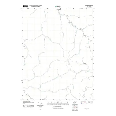
2011 Map of Folsom
USGS Topo · Published 2011About this map
South Fork Fishing Creek meanders through this portion of Wetzel County, serving as the central drainage for a landscape defined by deep-cut runs and forks. The early 21st-century settlement pattern is concentrated in small communities like Smithfield and Folsom, where the Folsom Post Office remains a focal point for the local population. The geography is heavily influenced by the winding courses of Trader Fork and Arches Fork, with a dense network of county highways tracing the narrow valley floors between steep ridges. Genealogy researchers will find several family-named landmarks and burial grounds, including Stout Cemetery, Morgan Cemetery, and McIntire Fork Cemetery, which provide clues to the generational settlement of these hollows. The presence of smaller hamlets like Hartzel and Rinehart along the creeks illustrates the enduring rural character of the region during this period.
Find a feature on this map
60 named features on this map. Tap any name to fly to it.
Don’t see what you’re looking for? This feature index may not catch every label — zoom into the map to look around manually.
Map Details
Editions of this 2011 Folsom Map
This is the sole edition of this map. No revisions or reprints were ever made.
Other maps of this area

1902 · Clarksburg
USGS Topo · 1:62,500

1903 · Littleton
USGS Topo · 1:62,500

1905 · Mannington
USGS Topo · 1:62,500

1905 · Centerpoint
USGS Topo · 1:62,500

1905 · Littleton
USGS Topo · 1:62,500

1910 · Clarksburg
USGS Topo · 1:62,500

1923 · Mannington
USGS Topo · 1:62,500

1923 · Clarksburg
USGS Topo · 1:62,500

1924 · Centerpoint
USGS Topo · 1:62,500

1924 · Littleton
USGS Topo · 1:62,500