Old Maps of Ashland, Wisconsin for Genealogy
Trace your family roots with 37 historic maps of Ashland. These high-res maps reveal old neighborhoods, homesites, landmarks, and streets — helping you uncover where your ancestors lived and how the area evolved over time.
- Explore historic neighborhoods: Identify where your relatives may have lived in the 1800s or 1900s.
- Compare maps over time: Trace the changes in streets, buildings, and landmarks for multi-generational research.
- Perfect for genealogy & ancestry research: Used by family historians and researchers to map out lineage and migration.
These maps are an incredible resource for exploring your personal connection to Ashland's past.
Ashland, WI maps
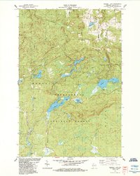
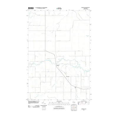
(37)- 1942 Map of Mellen, 1959 Print
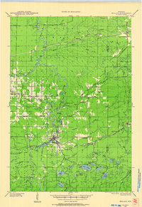 1942 Mellen1959 Print · USGSAshland County and the Iron County border come alive in the early 1940s as a landscape of timber, iron rails, and deep Northwoods lakes. Researchers can trace the path of the Minneapolis St Paul and Sault Ste Marie railroad or locate family sites like Sedgwick and the St Johns Cem.
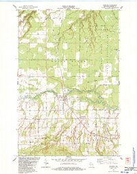
 - 1942 Map of Marengo, 1964 Print
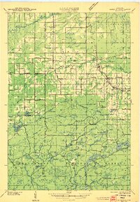
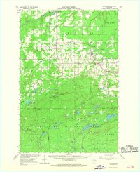
 1942 Marengo1964 Print · USGSNorthern Wisconsin's timber and rail landscape is captured here in the early 1940s, showing the intersection of federal forest land and tribal territory. Genealogists can locate specific rural schools like Maple Ridge Sch and communities like Sanborn or North York.
 - 1945 Map of Marengo
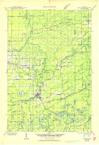
 1945 Marengo1945 Print · USGSAshland County and the Chequamegon National Forest are captured here in the mid-1940s, showing a landscape shaped by timber and rail. Researchers can locate rural landmarks like Ebenezer Ch and vanished local schools including Agnew Sch and Section Five Sch.2 unique versions available
 - 1945 Map of Mellen, 1950 Print
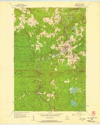
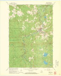
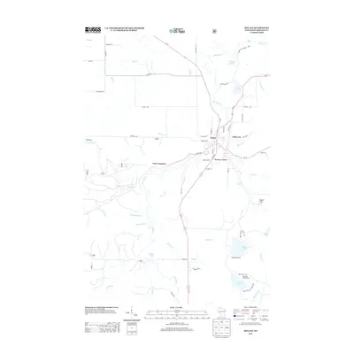
 1945 Mellen1950 Print · USGSAshland and Iron Counties come alive in the mid-1940s, showing a rugged landscape of iron-range railways and remote forest schools. Genealogists can trace family landmarks like Coria Sch, St Johns Sch, and the rail junction at Mellen.
 - 1953 Map of Ashland, 1964 Print
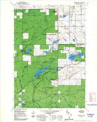
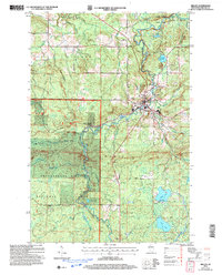
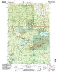
 1953 Ashland1964 Print · USGSNorthern Wisconsin's lakefront and timberlands are seen here in the mid-1950s, showing the intersection of industrial rail lines and vast wilderness. Genealogists and historians can trace the Soo Line through rail towns like Mellen or locate family roots in the Apostle Islands and Bad River Indian Reservation.3 unique versions available
 - 1956 Map of Mellen, 1958 Print
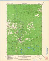
 1956 Mellen1958 Print · USGSThe Northwoods of Wisconsin are captured here in the mid-1950s, centered on the river junction at Mellen. Researchers can trace the legacy of the Soo Line railroad and locate rural landmarks like the Cayuga Cemetery and Foster Junction.
 - 1958 Map of Ashland
 1958 Ashland1958 Print · USGSCoastal Wisconsin and the Michigan borderlands meet here in the late fifties, dominated by the timbered expanses and iron-rich ranges. Genealogists can trace family footprints in settlements like Odanah and Montreal, or locate landmarks such as the Coast Guard Station and Agricultural Experiment Station.
 - 1967 Map of Marengo SE
 1967 Marengo SE1967 Print · USGSAshland County's timberlands are seen here in the late sixties as the Forest Service managed this active recreational and industrial landscape. Trace the footpaths along the North Country Trail and locate former fire towers at Marengo Lookout and Mineral Lake Lookout.
 - 1967 Map of Marengo, 1969 Print
 1967 Marengo1969 Print · USGSAshland and Bayfield counties are shown in the late sixties, a landscape of northwoods settlements and the Chequamegon National Forest. Genealogists and hikers can locate Sanborn Cemetery, the Finnish Church, and the scenic Morgan Falls.2 unique versions available
 - 1967 Map of Mellen, 1969 Print
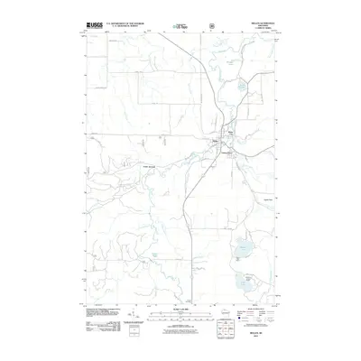
 1967 Mellen1969 Print · USGSThe Northwoods around the city of Mellen are captured here in the late sixties as the region balanced timber and rail industry with conservation. Researchers can trace the Soo Line tracks through Foster Junction and locate remote landmarks like Eagles Peak and Meder Lake.2 unique versions available
 - 1967 Map of Mellen, 1969 Print
 1967 Mellen1969 Print · USGSThe Mellen area in the late sixties reveals a landscape of deep-woods industry and northern rail towns. Genealogists and historians can trace the Soo Line through High Bridge or locate the Berkshire Mine Ruins and St Johns Cem.
 - 1980 Map of Ironwood
 1980 Ironwood1980 Print · USGSThe Michigan-Wisconsin borderlands appear in the late twentieth century as a landscape defined by iron mining and deep forests. Researchers can trace the rail-and-river economy through the Soo Line and Chicago and North Western tracks connecting Mellen, Glidden, and Hurley.
 - 1984 Map of Mineral Lake
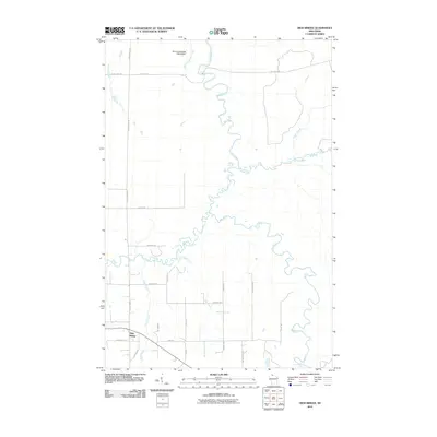
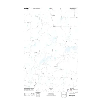
 1984 Mineral Lake1984 Print · USGSIn the mid-eighties, this portion of Ashland County was a dense mosaic of lakes and timber within the Chequamegon National Forest. Outdoor enthusiasts and researchers can trace forest roads to Mineral Lake, the Gogebic Range, and remote spots like Toskis.
 - 1984 Map of Marengo
 1984 Marengo1984 Print · USGSNorthern Wisconsin's rural landscape is captured here in the mid-1980s, centered on the confluence of the Marengo River. Researchers can locate family landmarks like Maple Grove Cem, St Pauls Ch, and the old Marengo Valley Sch.
 - 1984 Map of High Bridge
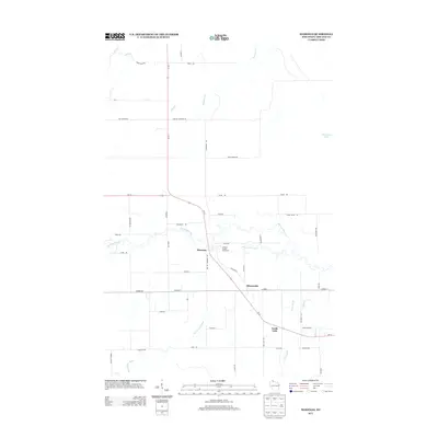
 1984 High Bridge1984 Print · USGSAshland County in the mid-1980s reveals a landscape where the river and rail economy shaped the rural township of Morse. Local researchers can find the Soo Line junction at High Bridge, trace family-named roads like Kleinsteiber Road, and locate the old Cem.
 - 2005 Map of Mellen, 2006 Print
 2005 Mellen2006 Print · USGSMellen and the surrounding Ashland County woods appear here in the early 2000s as a hub for both rail and recreation. Researchers can trace the Soo Line tracks, locate the Cayuga Cem, and follow the North Country Scenic Trail.
 - 2005 Map of Mineral Lake, 2006 Print
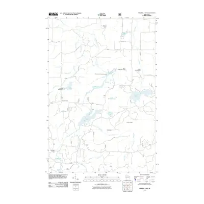
 2005 Mineral Lake2006 Print · USGSThe Gogebic Range and the Chequamegon-Nicolet National Forest define this northern Wisconsin wilderness in the early 2000s. Trace the North Country National Scenic Trail past Mineral Lake and the Marengo Lookout.
 - 2010 Map of Marengo, 2010 Print
 2010 Marengo2010 Print · USGSCovers Ashland, including Marengo, White River, and other nearby areas
 - 2010 Map of High Bridge, 2010 Print
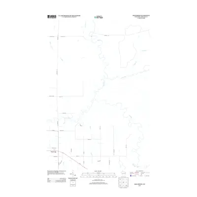
 2010 High Bridge2010 Print · USGSCovers Ashland, including White River, Morse, and other nearby areas
 - 2011 Map of Mineral Lake, 2011 Print
 2011 Mineral Lake2011 Print · USGSCovers Ashland, including Marengo, Morse, and other nearby areas
 - 2011 Map of Mellen, 2011 Print
 2011 Mellen2011 Print · USGSCovers Ashland, including Mellen, Foster Junction, and other nearby areas
 - 2013 Map of Mellen, 2013 Print
 2013 Mellen2013 Print · USGSCovers Ashland, including Mellen, Foster Junction, and other nearby areas
 - 2013 Map of Marengo, 2013 Print
 2013 Marengo2013 Print · USGSCovers Ashland, including Marengo, White River, and other nearby areas
 - 2013 Map of High Bridge, 2013 Print
 2013 High Bridge2013 Print · USGSCovers Ashland, including White River, Morse, and other nearby areas
 - 2013 Map of Mineral Lake, 2013 Print
 2013 Mineral Lake2013 Print · USGSCovers Ashland, including Marengo, Morse, and other nearby areas
Showing maps 1-25 of 37
Top cities near Ashland
- Ashland historical maps
- Sanborn historical maps
- White River historical maps
- Mellen historical maps
- Morse historical maps
- New Odanah historical maps
See more
Top neighborhoods of Ashland
Frequently asked questions
- What are the different types of historical maps available for Ashland?
- What is the oldest map of Ashland?
- Where can I purchase historical maps of Ashland for my home or office?
- Where can I download high-res historical maps of Ashland?
- Are there historical topographic maps available for Ashland?
- Is there historical aerial imagery available for Ashland?
- Where are historical maps of Ashland sourced from?