2010s Maps of Shanagolden, Wisconsin
Explore 32 historic maps of Shanagolden from the 2010s. These maps offer a rare glimpse into what life looked like during the 2010s — showing old roads, neighborhoods, homes, and landmarks that have changed or disappeared over time.
Whether you're researching your family's past, planning a metal detecting trip, or studying how Shanagolden's landscape evolved across the 2010s, these high-resolution maps are a powerful tool for exploring the history of this region.
- Focus on a specific era: All maps on this page are from the 2010s, giving you a focused view of this time period.
- See what’s changed: Compare century-old streets, trails, and buildings to today's modern landscape using overlays and satellite layers.
- Research with precision: Use these maps for genealogy, historical research, land use analysis, or educational projects.
- View, download, or print: Maps are fully viewable online in high resolution, and can be downloaded or printed for your own records.
Start exploring Shanagolden's history through authentic maps from the 2010s. This is your window into the past.
Shanagolden, WI maps
(32)- 2010 Map of Peeksville, 2010 Print
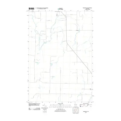 2010 Peeksville2010 Print · USGSNorthern Wisconsin's river networks and timberlands are documented here at the turn of the millennium. Genealogists and local historians can trace family locations near Peeksville, Saint Cecelia Cemetery, and the Glidden Municipal Airport.
 - 2011 Map of Clam Lake, 2011 Print
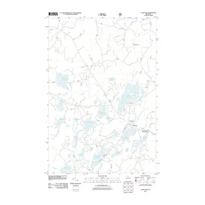 2011 Clam Lake2011 Print · USGSWisconsin's northern lake country is captured here during a period of modern forest management and lakeside recreation. Researchers can trace the layout of Clam Lake, locate the Wildwood Cemetery, or find the Little Clam Lake Seaplane Base near the water's edge.
 - 2011 Map of Clam Lake SW, 2011 Print
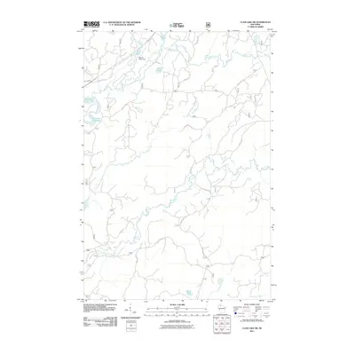 2011 Clam Lake SW2011 Print · USGSUpper Wisconsin river systems and forest service corridors defined this Northwoods landscape in the early twenty-first century. Researchers can trace the winding paths of the West Fork Chippewa River and Moose River, or locate landmarks like the Red Ike Creek Dam.
 - 2011 Map of Shanagolden, 2011 Print
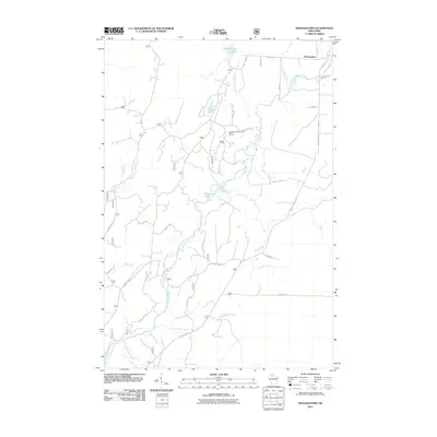 2011 Shanagolden2011 Print · USGSThe area around Shanagolden and the East Fork Chippewa River is shown here in the early twenty-first century. Researchers can trace the winding river system and find local landmarks like Muskellunge Lake and the Cross Country Ski Area Point of Interest.
 - 2011 Map of Clam Lake NE, 2011 Print
 2011 Clam Lake NE2011 Print · USGSNorthern Wisconsin's lake country is captured here during the early twenty-first century, showing the dense network of forest roads and waterways. Researchers can trace the routes around East Twin Lake Campground or follow the paths of Dingdong Creek and the Brunsweiler River.
 - 2011 Map of Morse, 2011 Print
 2011 Morse2011 Print · USGSNorthern Wisconsin forest lands and quiet settlements are documented here in the early twenty-first century. Researchers can locate the Morse Cemetery, trace the winding Bad River, and explore local junctions like Popcorn Corners and Cayuga.
 - 2011 Map of Glidden, 2011 Print
 2011 Glidden2011 Print · USGSThe northern Wisconsin town of Glidden is depicted here in the early twenty-first century, centered on the East Fork Chippewa River. Researchers can trace local lineage through family-named routes and landmarks like Mount Hope Cemetery and Marian Park.
 - 2011 Map of Clam Lake SE, 2011 Print
 2011 Clam Lake SE2011 Print · USGSNorthern Wisconsin's deep forest landscape is captured here in the early twenty-first century, showing the intricate drainage basins of the Chequamegon region. You can trace remote backcountry routes like Stock Farm Rd and explore the headwaters of the East Fork Chippewa River and Fishtrap Creek.
 - 2013 Map of Peeksville, 2013 Print
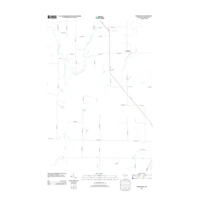 2013 Peeksville2013 Print · USGSThe rural landscape of Ashland County comes into focus in this early 21st-century record of the Northwoods. Researchers can trace the winding East Fork Chippewa River and locate local landmarks such as Peeksville, Kempf Springs, and Camp Four Lake.
 - 2013 Map of Clam Lake NE, 2013 Print
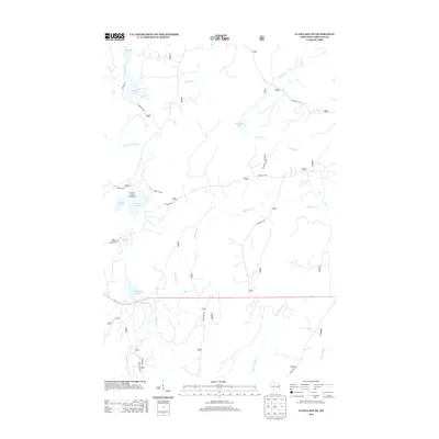 2013 Clam Lake NE2013 Print · USGSAshland County's north woods are documented here in the early twenty-first century, showing a landscape defined by glacial lakes and forest service corridors. Researchers can trace the remote drainage of Dingdong Cr or locate specific campsites like the East Twin Lake Campground.
 - 2013 Map of Glidden, 2013 Print
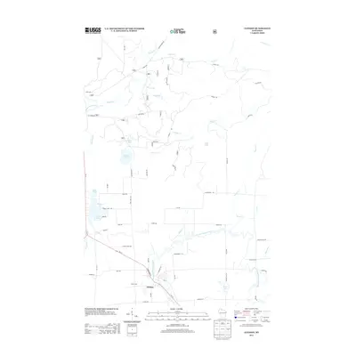 2013 Glidden2013 Print · USGSGlidden and the surrounding Ashland County woodlands are captured here in the early twenty-first century. Genealogists and local historians can trace family-named routes and landmarks near the East Fork Chippewa River, Summit Lake, and Marian Park.
 - 2013 Map of Clam Lake SW, 2013 Print
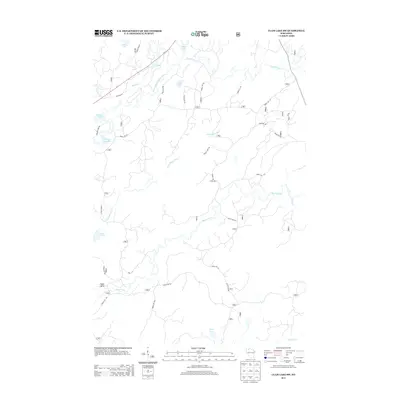 2013 Clam Lake SW2013 Print · USGSThe Northwoods of Wisconsin are captured here in the early twenty-first century, showing a remote landscape shaped by the West Fork Chippewa River system. Trace the winding paths of the Little Moose River and Torch River, and locate isolated waters like Partridge Crop Lake and Ike Lake.
 - 2013 Map of Morse, 2013 Print
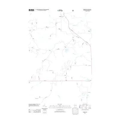 2013 Morse2013 Print · USGSAshland County's north woods are mapped here in the early twenty-first century, showing the forest and river systems surrounding the community of Morse. Researchers can trace the network of timber routes like Forest Rd 181 and find local landmarks such as Spillerberg Lake, Torrey Lake, and the small junction at Popcorn Corners.
 - 2013 Map of Shanagolden, 2013 Print
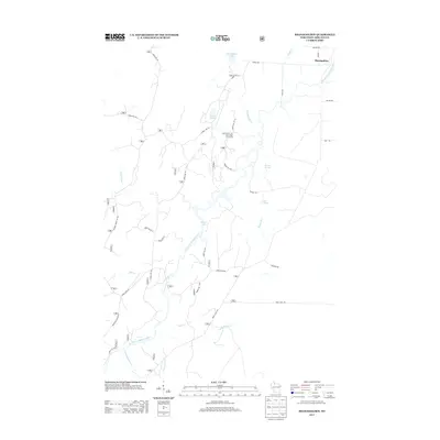 2013 Shanagolden2013 Print · USGSShanagolden and the Chequamegon-Nicolet region appear here in the early twenty-first century, a landscape dominated by the winding East Fork Chippewa River. Researchers can trace old timber routes and water features like Pelican Lake, Camp Fifteen Cr, and Railroad Rd.
 - 2013 Map of Clam Lake, 2013 Print
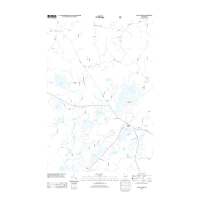 2013 Clam Lake2013 Print · USGSNorthern Wisconsin's lake country is captured here during the early twenty-first century, centered on the settlement of Clam Lake. Researchers can trace forest access roads and fishing landmarks like Muskie Springs Lake, Day Lake Campground, and the West Fork Chippewa River.
 - 2013 Map of Clam Lake SE, 2013 Print
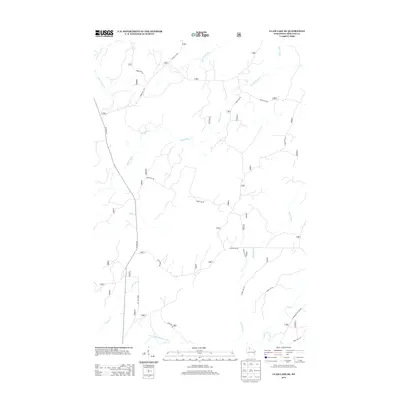 2013 Clam Lake SE2013 Print · USGSWisconsin’s northern forests are mapped here during the early twenty-first century, showcasing a landscape of dense timber and critical watersheds. Researchers can trace the winding paths of the Moose River or locate local landmarks like Stock Farm Rd and the East Fork Chippewa River.
 - 2015 Map of Peeksville, 2015 Print
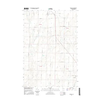 2015 Peeksville2015 Print · USGSAshland County's timber and lake country is captured here during the mid-2010s, centered on the communities of Butternut and Peeksville. Researchers can trace local genealogy at Saint Cecelia Cem or locate old homesteads along Meyers Lake Rd and the East Fork Chippewa River.
 - 2015 Map of Glidden, 2015 Print
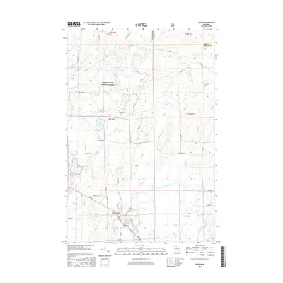 2015 Glidden2015 Print · USGSThe community of Glidden and its surrounding forests are captured here in the mid-2010s. Genealogists and local historians can trace the town's layout and find Mount Hope Cem, while outdoorsmen can map the wetlands around Meyer Lake and Summit Lake.
 - 2015 Map of Clam Lake NE, 2015 Print
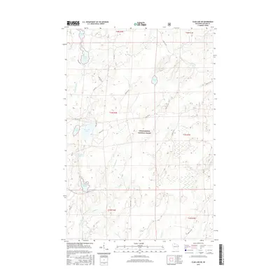 2015 Clam Lake NE2015 Print · USGSWisconsin's Northwoods are captured here in the mid-2010s, showing a landscape defined by the vast Chequamegon National Forest. Researchers can trace the complex waterways of Dead Horse Slough, the Brunsweiler River, and numerous glacial waters like Spider Lake.
 - 2015 Map of Clam Lake SE, 2015 Print
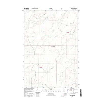 2015 Clam Lake SE2015 Print · USGSAshland County's Northwoods are captured here in the early twenty-first century, showing a remote landscape of the Chequamegon National Forest. Researchers can trace the winding paths of the Moose River and East Fork Chippewa River or locate historic access routes like Stock Farm Rd.
 - 2015 Map of Shanagolden, 2015 Print
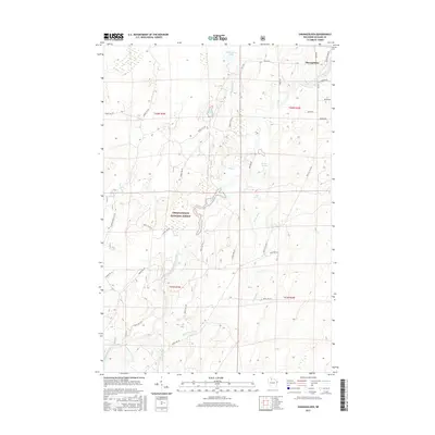 2015 Shanagolden2015 Print · USGSThe timber country of Northern Wisconsin comes alive in this 2015 survey of the Shanagolden area. Genealogists and historians can trace the landscape from the East Fork Chippewa River to local landmarks like Muskellunge Lake and Kenyon Springs.
 - 2015 Map of Clam Lake SW, 2015 Print
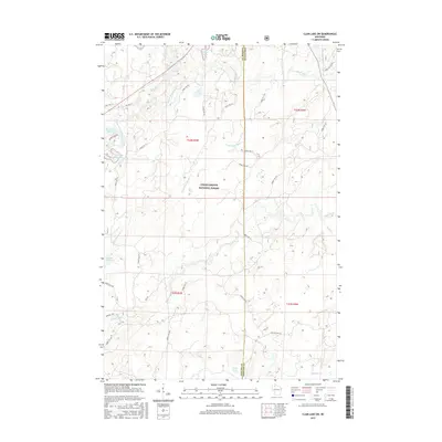 2015 Clam Lake SW2015 Print · USGSWisconsin's Northwoods are captured here in the mid-2010s, showing a landscape defined by the Chequamegon National Forest and its winding waterways. Researchers can trace forest management routes like Fire Ln and explore the complex hydrology of Moose Lake and the West Fork Chippewa River.
 - 2015 Map of Morse, 2015 Print
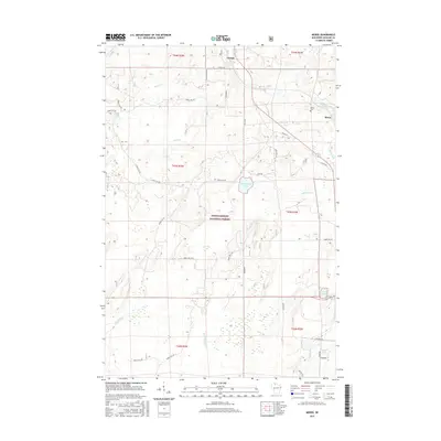 2015 Morse2015 Print · USGSThe Northwoods of Ashland County come alive in the mid-2010s, showing a landscape defined by the vast Chequamegon National Forest. Genealogists and local historians can locate the Morse Cem and trace the winding paths of Bad River and Spillerberg Lake.
 - 2015 Map of Clam Lake, 2015 Print
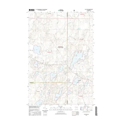 2015 Clam Lake2015 Print · USGSThe Northwoods of Wisconsin are shown here in the mid-2010s, centered on the remote village of Clam Lake. Genealogists and outdoor historians can trace old routes like Old Grade Rd or locate the local Wildwood Cem near Upper Clam Lake.
 - 2018 Map of Clam Lake SE, 2018 Print
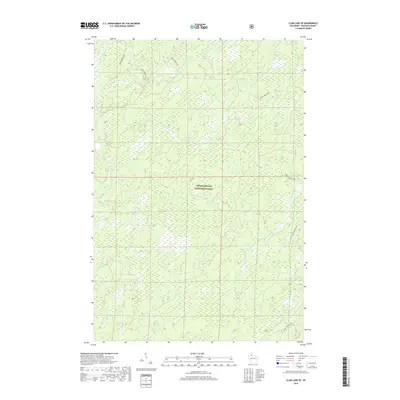 2018 Clam Lake SE2018 Print · USGSNorthern Wisconsin's timberlands are shown in detail during the late 2010s within the Chequamegon National Forest. Researchers can trace the winding paths of the E Torch River, Dead Horse Run, and Moose River through this wooded terrain.
Showing maps 1-25 of 32
Top cities near Shanagolden
Frequently asked questions
- What are the different types of historical maps available for Shanagolden?
- What is the oldest map of Shanagolden?
- Where can I purchase historical maps of Shanagolden for my home or office?
- Where can I download high-res historical maps of Shanagolden?
- Are there historical topographic maps available for Shanagolden?
- Is there historical aerial imagery available for Shanagolden?
- Where are historical maps of Shanagolden sourced from?