Old Maps of Lincoln, Wisconsin for Academic Research
Study the evolution of Lincoln with 36 high-resolution historic maps. Whether you're teaching, researching, or modeling changes in land use, these maps provide essential visual documentation of urban, environmental, and geographic change.
- Analyze long-term change: Track patterns in development, transportation, and natural features.
- Ideal for environmental or urban studies: Support academic projects with primary historical map data.
- Use in the classroom or lab: Educators and researchers rely on these maps to bring historical context to life.
These maps are a powerful tool for teaching, research, and visualizing how Lincoln has changed over the decades.
Lincoln, WI maps
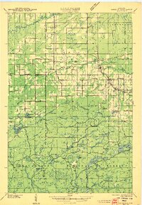
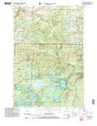
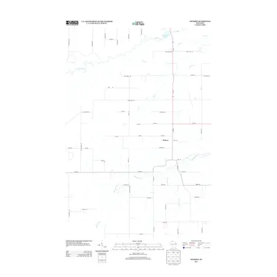
(36)- 1942 Map of Marengo, 1964 Print
 1942 Marengo1964 Print · USGSNorthern Wisconsin's timber and rail landscape is captured here in the early 1940s, showing the intersection of federal forest land and tribal territory. Genealogists can locate specific rural schools like Maple Ridge Sch and communities like Sanborn or North York.
 - 1944 Map of Grandview, 1962 Print
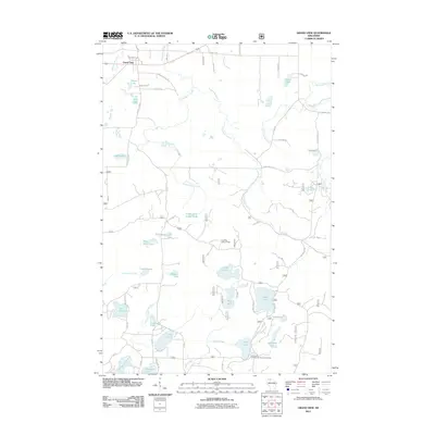
 1944 Grandview1962 Print · USGSBayfield County's Northwoods landscape is captured here during the mid-forties, showing the intricate network of rails and rural schools. Genealogists and historians can locate the Taylor Lake CCC Camp and trace family roots near Becker Sch, Grandview, and Mason.
 - 1945 Map of Marengo
 1945 Marengo1945 Print · USGSAshland County and the Chequamegon National Forest are captured here in the mid-1940s, showing a landscape shaped by timber and rail. Researchers can locate rural landmarks like Ebenezer Ch and vanished local schools including Agnew Sch and Section Five Sch.2 unique versions available
 - 1947 Map of Grandview
 1947 Grandview1947 Print · USGSBayfield County at the close of the 1940s reveals a landscape of timber-towns and marshlands connected by the Chicago St Paul Minneapolis and Omaha rail line. Researchers can locate remote rural schoolhouses like Becker Sch and Dybedal Sch, or trace the winding course of the White River.
 - 1953 Map of Ashland, 1964 Print
 1953 Ashland1964 Print · USGSNorthern Wisconsin's lakefront and timberlands are seen here in the mid-1950s, showing the intersection of industrial rail lines and vast wilderness. Genealogists and historians can trace the Soo Line through rail towns like Mellen or locate family roots in the Apostle Islands and Bad River Indian Reservation.3 unique versions available
 - 1958 Map of Ashland
 1958 Ashland1958 Print · USGSCoastal Wisconsin and the Michigan borderlands meet here in the late fifties, dominated by the timbered expanses and iron-rich ranges. Genealogists can trace family footprints in settlements like Odanah and Montreal, or locate landmarks such as the Coast Guard Station and Agricultural Experiment Station.
 - 1967 Map of Marengo, 1969 Print
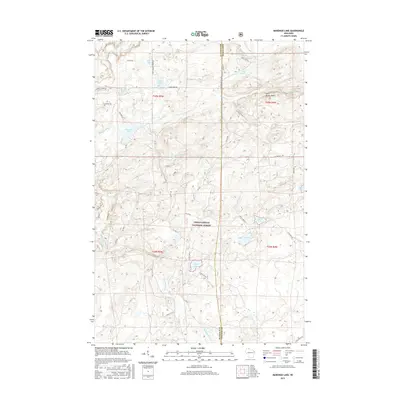
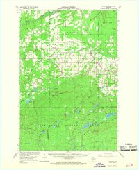 1967 Marengo1969 Print · USGSAshland and Bayfield counties are shown in the late sixties, a landscape of northwoods settlements and the Chequamegon National Forest. Genealogists and hikers can locate Sanborn Cemetery, the Finnish Church, and the scenic Morgan Falls.2 unique versions available
 - 1967 Map of Marengo SW, 1985 Print
 1967 Marengo SW1985 Print · USGSBayfield County's timberlands and glacial lakes are shown here in the late sixties as recreation began to reshape the forest. Researchers can locate Trinity Ch, trace the North Country Trail, and find remote landmarks like Morgan Falls.
 - 1971 Map of Grand View, 1973 Print
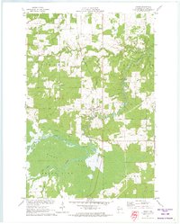
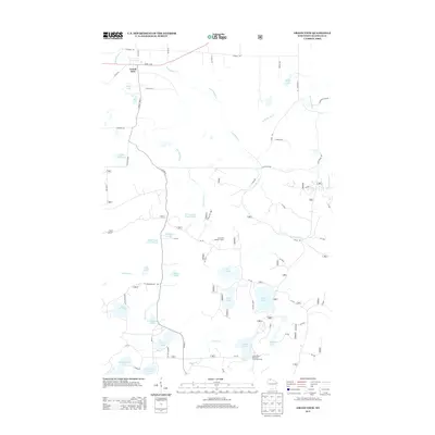
 1971 Grand View1973 Print · USGSBayfield County’s forest and lake country is captured here in the early seventies, centered on the settlement of Grand View. Researchers can find the University of Wisconsin Surveying Camp, the Long Mile Lookout Tower, and an Old Railroad Grade.
 - 1971 Map of Mason, 1973 Print
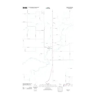
 1971 Mason1973 Print · USGSThe village of Mason and the surrounding timberlands are captured here in the early seventies, just as the Bibon Marsh remains a wild contrast to local farms. Trace old transport routes including the Chicago and North Western line and an Old Railroad Grade.
 - 1980 Map of Ironwood
 1980 Ironwood1980 Print · USGSThe Michigan-Wisconsin borderlands appear in the late twentieth century as a landscape defined by iron mining and deep forests. Researchers can trace the rail-and-river economy through the Soo Line and Chicago and North Western tracks connecting Mellen, Glidden, and Hurley.
 - 1980 Map of Solon Springs
 1980 Solon Springs1980 Print · USGSNorthern Wisconsin in the early eighties was a landscape of dense timber and sprawling glacial waters. Trace the legacy of the Chicago and North Western rail line through Solon Springs, Hayward, and Minong at this pivotal moment.
 - 1984 Map of Sanborn
 1984 Sanborn1984 Print · USGSThe rural landscape of Ashland and Bayfield Counties in the mid-1980s reveals a quiet network of north woods settlements and timber history. Genealogists and local historians can trace family landmarks like Moe Cem and Moland Ch or follow the Old Railroad Grade through Sanborn.
 - 1984 Map of Marengo Lake
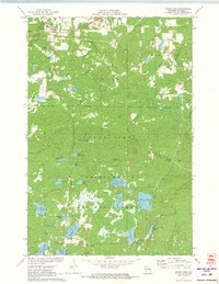
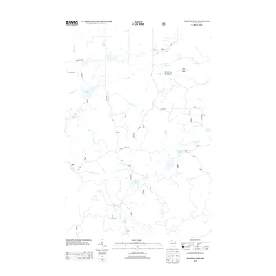
 1984 Marengo Lake1984 Print · USGSIn the mid-eighties, this northern Wisconsin wilderness served as a recreational and conservation hub within the Chequamegon National Forest. Hikers and historians can trace the North Country National Scenic Trail past landmarks like Morgan Falls and Trinity Ch.
 - 2005 Map of Grand View, 2006 Print
 2005 Grand View2006 Print · USGSBayfield County's northern forests are captured here at the turn of the millennium, centered on the settlement of Grand View. Outdoor researchers can trace the roads and waters of the Porcupine Lake Wilderness or locate landmarks like Long Mt Lookout and Atkins Lake.
 - 2005 Map of Marengo Lake, 2006 Print
 2005 Marengo Lake2006 Print · USGSThe Northwoods of Bayfield and Ashland counties are documented here during a period of forest management and early 2000s conservation. Genealogists and local historians can locate the Trinity Ch and trace the paths of the Marengo River and Spring Brook.
 - 2010 Map of Mason, 2010 Print
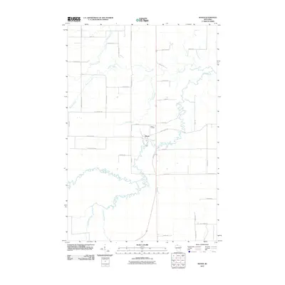 2010 Mason2010 Print · USGSCovers Lincoln, including Mason, Kelly, and other nearby areas
 - 2010 Map of Sanborn, 2010 Print
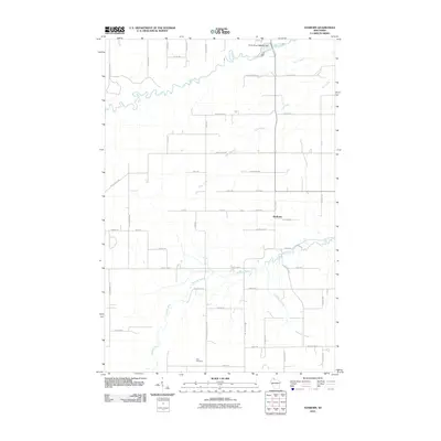 2010 Sanborn2010 Print · USGSCovers Lincoln, including Sanborn, Kelly, and other nearby areas
 - 2011 Map of Marengo Lake, 2011 Print
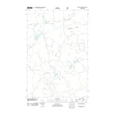 2011 Marengo Lake2011 Print · USGSCovers Lincoln, including Grandview, Marengo, and other nearby areas
 - 2011 Map of Grand View, 2011 Print
 2011 Grand View2011 Print · USGSCovers Lincoln, including Grandview, Grand View, and other nearby areas
 - 2013 Map of Grand View, 2013 Print
 2013 Grand View2013 Print · USGSCovers Lincoln, including Grandview, Grand View, and other nearby areas
 - 2013 Map of Mason, 2013 Print
 2013 Mason2013 Print · USGSCovers Lincoln, including Mason, Kelly, and other nearby areas
 - 2013 Map of Marengo Lake, 2013 Print
 2013 Marengo Lake2013 Print · USGSCovers Lincoln, including Grandview, Marengo, and other nearby areas
 - 2013 Map of Sanborn, 2013 Print
 2013 Sanborn2013 Print · USGSCovers Lincoln, including Sanborn, Kelly, and other nearby areas
 - 2015 Map of Marengo Lake, 2015 Print
 2015 Marengo Lake2015 Print · USGSCovers Lincoln, including Grandview, Marengo, and other nearby areas
Showing maps 1-25 of 36
Top cities near Lincoln
- Ashland historical maps
- Sanborn historical maps
- White River historical maps
- Cable historical maps
- Drummond historical maps
- Marengo historical maps
See more
Frequently asked questions
- What are the different types of historical maps available for Lincoln?
- What is the oldest map of Lincoln?
- Where can I purchase historical maps of Lincoln for my home or office?
- Where can I download high-res historical maps of Lincoln?
- Are there historical topographic maps available for Lincoln?
- Is there historical aerial imagery available for Lincoln?
- Where are historical maps of Lincoln sourced from?