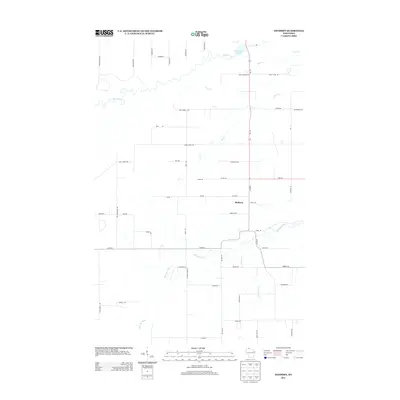
2013 Map of Sanborn
USGS Topo · Published 2013About this map
Sanborn sits as the central settlement in this northern Wisconsin landscape, where the White River and Marengo River define the local drainage patterns. The northern section is dominated by the White River Flowage, while smaller tributaries like Rock Cr, Deer Cr, and Troutmere Cr cut through the rural countryside. The road network reflects a history of local land ownership and family settlement, with routes such as Yonkovich Rd, Osredkar Rd, and Pupps Rd branching off from the primary north-south artery of Wi-112. This 2013 survey provides a clear view of the rural infrastructure in Ashland County, mapping the intersection of Co Hwy-E and the various county and local roads that facilitate movement between the wooded river valleys and agricultural clearings.
Find a feature on this map
53 named features on this map. Tap any name to fly to it.
Don’t see what you’re looking for? This feature index may not catch every label — zoom into the map to look around manually.
Map Details
Editions of this 2013 Sanborn Map
This is the sole edition of this map. No revisions or reprints were ever made.
Other maps of this area

1942 · Ashland
USGS Topo · 1:48,000

1942 · Marengo
USGS Topo · 1:48,000

1944 · Moquah
USGS Topo · 1:48,000

1944 · Grandview
USGS Topo · 1:48,000

1945 · Marengo
USGS Topo · 1:48,000

1947 · Moquah
USGS Topo · 1:48,000

1947 · Ashland
USGS Topo · 1:48,000

1947 · Grandview
USGS Topo · 1:48,000

1953 · Ashland
USGS Topo · 1:250,000

1958 · Ashland
USGS Topo · 1:250,000