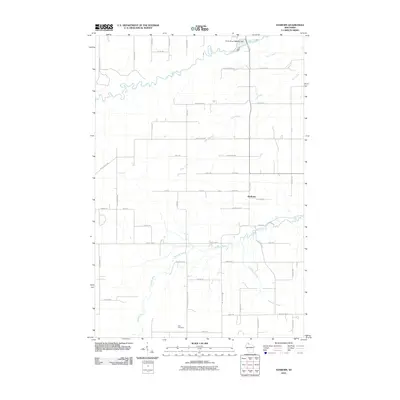
2010 Map of Sanborn
USGS Topo · Published 2010About this map
The settlement of Sanborn serves as the focal point of this northern Wisconsin landscape, situated within a dense network of waterways and rural roads. The northern portion of the sheet is dominated by the winding path of the White River, which includes the specifically identified White River 1893C99 Dam. This hydraulic infrastructure, combined with the presence of several major tributaries like Deer Creek and Rock Creek, illustrates the region's reliance on its complex river systems. To the south, the Marengo River and Troutmere Creek cross a landscape defined by a regular grid of local roads named for area families, such as Sopina Rd and Stienstra Rd. For genealogists, the Moe Cemetery in the southern section provides a specific point of interest within this rural community, where the land-use patterns remain deeply tied to the natural drainage of the Lake Superior watershed.
Find a feature on this map
50 named features on this map. Tap any name to fly to it.
Don’t see what you’re looking for? This feature index may not catch every label — zoom into the map to look around manually.
Map Details
Editions of this 2010 Sanborn Map
This is the sole edition of this map. No revisions or reprints were ever made.
Other maps of this area

1942 · Ashland
USGS Topo · 1:48,000

1942 · Marengo
USGS Topo · 1:48,000

1944 · Moquah
USGS Topo · 1:48,000

1944 · Grandview
USGS Topo · 1:48,000

1945 · Marengo
USGS Topo · 1:48,000

1947 · Moquah
USGS Topo · 1:48,000

1947 · Ashland
USGS Topo · 1:48,000

1947 · Grandview
USGS Topo · 1:48,000

1953 · Ashland
USGS Topo · 1:250,000

1958 · Ashland
USGS Topo · 1:250,000