2000s (21st Century) Maps of Foster, Wisconsin
Explore 30 historic maps of Foster from the 2000s (21st Century). These maps offer a rare glimpse into what life looked like during the 2000s — showing old roads, neighborhoods, homes, and landmarks that have changed or disappeared over time.
Whether you're researching your family's past, planning a metal detecting trip, or studying how Foster's landscape evolved across the 2000s, these high-resolution maps are a powerful tool for exploring the history of this region.
- Focus on a specific era: All maps on this page are from the 2000s, giving you a focused view of this time period.
- See what’s changed: Compare century-old streets, trails, and buildings to today's modern landscape using overlays and satellite layers.
- Research with precision: Use these maps for genealogy, historical research, land use analysis, or educational projects.
- View, download, or print: Maps are fully viewable online in high resolution, and can be downloaded or printed for your own records.
Start exploring Foster's history through authentic maps from the 2000s. This is your window into the past.
Foster, WI maps
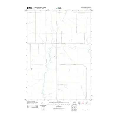
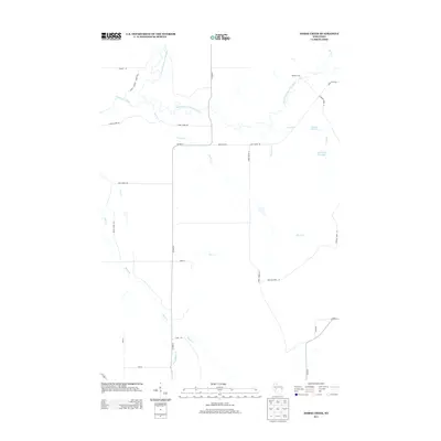
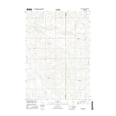
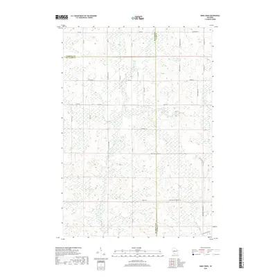
(30)- 2010 Map of Horse Creek, 2010 Print
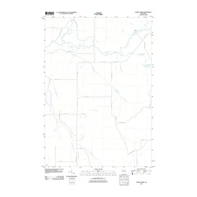 2010 Horse Creek2010 Print · USGSCovers Foster, including Bridge Creek, Fairchild, and other nearby areas
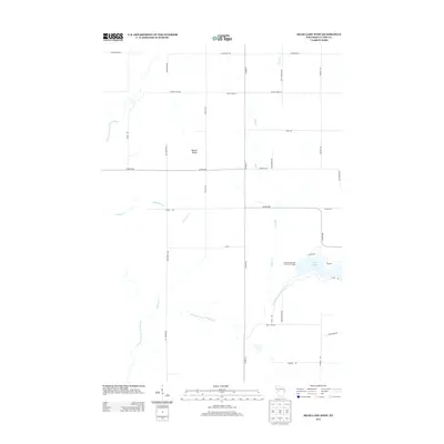
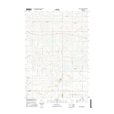
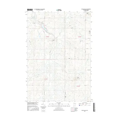
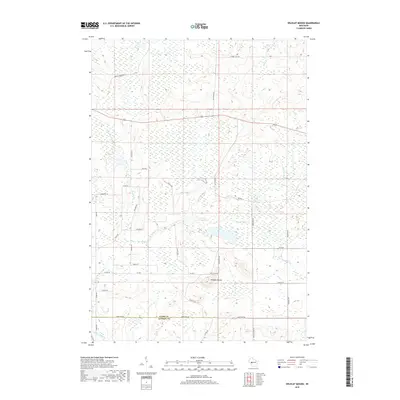
 - 2010 Map of Wildcat Mound, 2010 Print
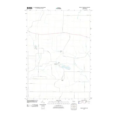 2010 Wildcat Mound2010 Print · USGSCovers Foster, including Mentor, Dewhurst, and other nearby areas
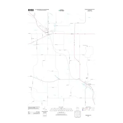
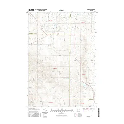
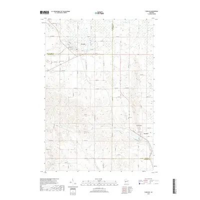
 - 2010 Map of Fairchild, 2010 Print
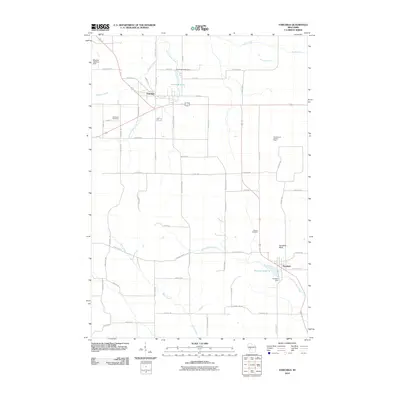 2010 Fairchild2010 Print · USGSCovers Foster, including Fairchild, Mentor, and other nearby areas
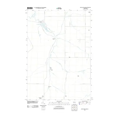
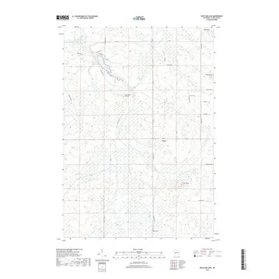
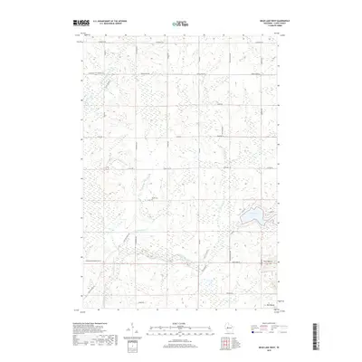
 - 2010 Map of Mead Lake West, 2010 Print
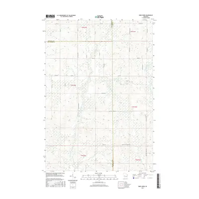
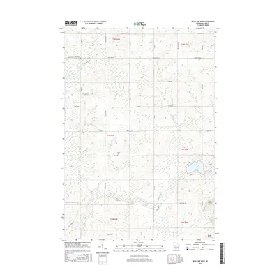
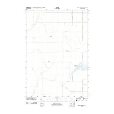 2010 Mead Lake West2010 Print · USGSCovers Foster, including Reseburg, Worden, and other nearby areas
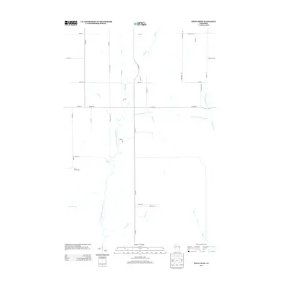
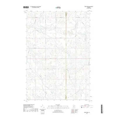
 - 2010 Map of Simes Creek, 2010 Print
 2010 Simes Creek2010 Print · USGSCovers Foster, including Edson, Wilson, and other nearby areas
 - 2010 Map of Rock Dam Lake, 2010 Print
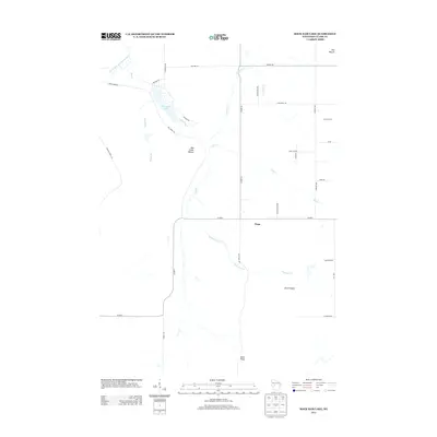
 2010 Rock Dam Lake2010 Print · USGSCovers Foster, including Seif, Hendren, and other nearby areas
 - 2013 Map of Rock Dam Lake, 2013 Print
 2013 Rock Dam Lake2013 Print · USGSCovers Foster, including Seif, Hendren, and other nearby areas
 - 2013 Map of Simes Creek, 2013 Print
 2013 Simes Creek2013 Print · USGSCovers Foster, including Edson, Wilson, and other nearby areas
 - 2013 Map of Horse Creek, 2013 Print
 2013 Horse Creek2013 Print · USGSCovers Foster, including Bridge Creek, Fairchild, and other nearby areas
 - 2013 Map of Mead Lake West, 2013 Print
 2013 Mead Lake West2013 Print · USGSCovers Foster, including Reseburg, Worden, and other nearby areas
 - 2013 Map of Fairchild, 2013 Print
 2013 Fairchild2013 Print · USGSCovers Foster, including Fairchild, Mentor, and other nearby areas
 - 2013 Map of Wildcat Mound, 2013 Print
 2013 Wildcat Mound2013 Print · USGSCovers Foster, including Mentor, Dewhurst, and other nearby areas
 - 2015 Map of Wildcat Mound, 2015 Print
 2015 Wildcat Mound2015 Print · USGSCovers Foster, including Mentor, Dewhurst, and other nearby areas
 - 2015 Map of Simes Creek, 2015 Print
 2015 Simes Creek2015 Print · USGSCovers Foster, including Edson, Wilson, and other nearby areas
 - 2015 Map of Fairchild, 2015 Print
 2015 Fairchild2015 Print · USGSCovers Foster, including Fairchild, Mentor, and other nearby areas
 - 2015 Map of Mead Lake West, 2015 Print
 2015 Mead Lake West2015 Print · USGSCovers Foster, including Reseburg, Worden, and other nearby areas
 - 2015 Map of Horse Creek, 2015 Print
 2015 Horse Creek2015 Print · USGSCovers Foster, including Bridge Creek, Fairchild, and other nearby areas
 - 2015 Map of Rock Dam Lake, 2015 Print
 2015 Rock Dam Lake2015 Print · USGSCovers Foster, including Seif, Hendren, and other nearby areas
 - 2018 Map of Fairchild, 2018 Print
 2018 Fairchild2018 Print · USGSCovers Foster, including Fairchild, Mentor, and other nearby areas
 - 2018 Map of Rock Dam Lake, 2018 Print
 2018 Rock Dam Lake2018 Print · USGSCovers Foster, including Seif, Hendren, and other nearby areas
 - 2018 Map of Simes Creek, 2018 Print
 2018 Simes Creek2018 Print · USGSCovers Foster, including Edson, Wilson, and other nearby areas
 - 2018 Map of Wildcat Mound, 2018 Print
 2018 Wildcat Mound2018 Print · USGSCovers Foster, including Mentor, Dewhurst, and other nearby areas
 - 2018 Map of Horse Creek, 2018 Print
 2018 Horse Creek2018 Print · USGSCovers Foster, including Bridge Creek, Fairchild, and other nearby areas
 - 2018 Map of Mead Lake West, 2018 Print
 2018 Mead Lake West2018 Print · USGSCovers Foster, including Reseburg, Worden, and other nearby areas
 - 2022 Map of Mead Lake West, 2022 Print
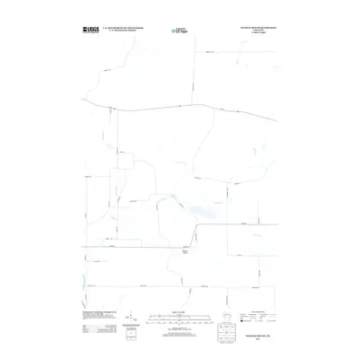
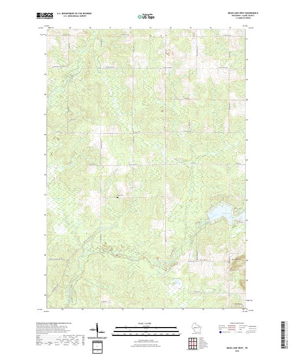 2022 Mead Lake West2022 Print · USGSThe Clark County backcountry comes alive in this modern survey of the forests and waterways surrounding Mead Lake. Genealogists and local historians can locate the Butler Cem and trace the winding paths of Robinson Cr and the South Fork Eau Claire River.
Showing maps 1-25 of 30
Top cities near Foster
- Edson historical maps
- Reseburg historical maps
- Longwood historical maps
- Northfield historical maps
- Merrillan historical maps
- Fairchild historical maps
Frequently asked questions
- What are the different types of historical maps available for Foster?
- What is the oldest map of Foster?
- Where can I purchase historical maps of Foster for my home or office?
- Where can I download high-res historical maps of Foster?
- Are there historical topographic maps available for Foster?
- Is there historical aerial imagery available for Foster?
- Where are historical maps of Foster sourced from?