2010s Maps of Foster, Wisconsin
Explore 24 historic maps of Foster from the 2010s. These maps offer a rare glimpse into what life looked like during the 2010s — showing old roads, neighborhoods, homes, and landmarks that have changed or disappeared over time.
Whether you're researching your family's past, planning a metal detecting trip, or studying how Foster's landscape evolved across the 2010s, these high-resolution maps are a powerful tool for exploring the history of this region.
- Focus on a specific era: All maps on this page are from the 2010s, giving you a focused view of this time period.
- See what’s changed: Compare century-old streets, trails, and buildings to today's modern landscape using overlays and satellite layers.
- Research with precision: Use these maps for genealogy, historical research, land use analysis, or educational projects.
- View, download, or print: Maps are fully viewable online in high resolution, and can be downloaded or printed for your own records.
Start exploring Foster's history through authentic maps from the 2010s. This is your window into the past.
Foster, WI maps
(24)- 2010 Map of Horse Creek, 2010 Print
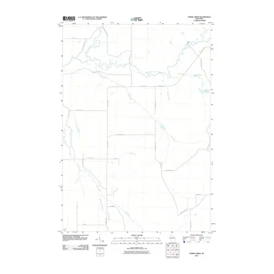 2010 Horse Creek2010 Print · USGSThe Eau Claire County river country is captured here during the first decade of the millennium. Local historians and genealogists can trace the rural network of creeks and forest roads, including the Koehler Ford crossing and the waters of Schoolhouse Creek.
 - 2010 Map of Wildcat Mound, 2010 Print
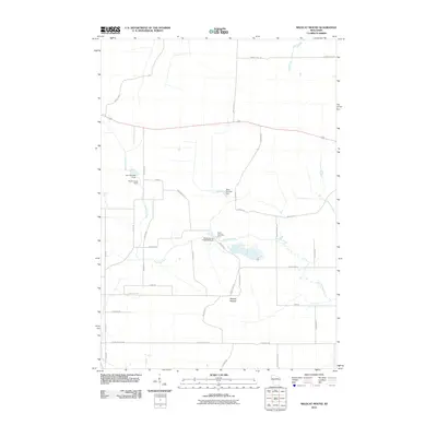 2010 Wildcat Mound2010 Print · USGSClark County at the start of the 2010s reveals a rural landscape shaped by water management and localized terrain. Researchers can locate specific water control sites like Dam Number Five and family-named roads near the prominent Wildcat Mound.
 - 2010 Map of Fairchild, 2010 Print
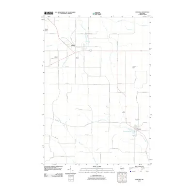 2010 Fairchild2010 Print · USGSFairchild and Humbird anchor this Wisconsin rural landscape as it appeared in the early twenty-first century. Genealogists and local researchers can trace family landmarks like Cleveland Cemetery, Humbird Bluff, and the Twin Mound Lookout Tower.
 - 2010 Map of Mead Lake West, 2010 Print
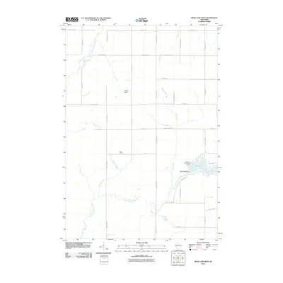 2010 Mead Lake West2010 Print · USGSIn the central Clark County countryside during the early twenty-first century, this landscape shows the confluence of the Eau Claire River forks and the recreation at Mead Lake. Genealogists and local historians can locate the Butler Cemetery and trace watercourses like Dickinson Creek and Popple River.
 - 2010 Map of Simes Creek, 2010 Print
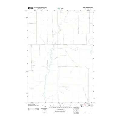 2010 Simes Creek2010 Print · USGSChippewa County remains a landscape of rivers and woodland roads during this early 21st-century survey. You can trace the waters of Hamilton Falls and locate the Wilson Lookout Tower amidst a grid of rural routes like Ritter Rd.
 - 2010 Map of Rock Dam Lake, 2010 Print
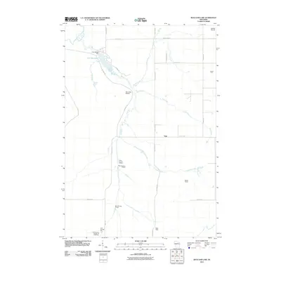 2010 Rock Dam Lake2010 Print · USGSNorthwest Clark County at the turn of the millennium is a landscape of managed waterways and forest landmarks centered on Rock Dam Lake. Researchers can locate the settlement of Tioga, the old Lookout Tower, and distinctive terrain like Hay Creek Mound.
 - 2013 Map of Rock Dam Lake, 2013 Print
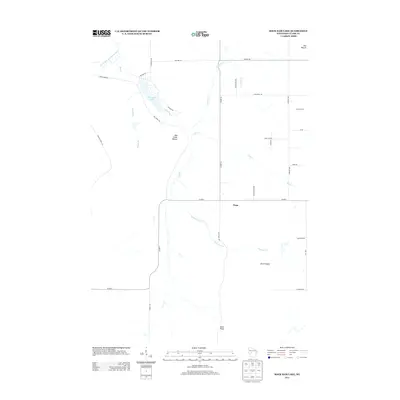 2013 Rock Dam Lake2013 Print · USGSWestern Clark County is shown in this early twenty-first-century survey during a period of established rural recreation and forestry. Genealogists and local historians can trace the roads around Rock Dam Lake, the settlement at Tioga, and the location of the Lookout Tower.
 - 2013 Map of Simes Creek, 2013 Print
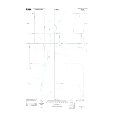 2013 Simes Creek2013 Print · USGSChippewa County is captured here in the early twenty-first century, showing a landscape defined by the winding North Fork Eau Claire River. Researchers can trace the rural road network and find landmarks like Hamilton Falls and the Wilson Lookout Tower.
 - 2013 Map of Horse Creek, 2013 Print
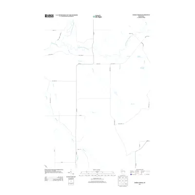 2013 Horse Creek2013 Print · USGSEau Claire County in the early twenty-first century remains defined by its winding river forks and managed forest roads. Genealogists and outdoorsmen can trace local landmarks like Koehler Ford, the Iron Run Flowage, and Schoolhouse Cr.
 - 2013 Map of Mead Lake West, 2013 Print
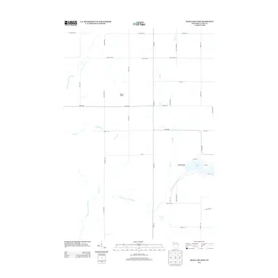 2013 Mead Lake West2013 Print · USGSMead Lake and the surrounding Clark County woodlands are captured here in the early twenty-first century. Researchers can map the intricate waterways of Bowler Valley and trace public access at Veterans Memorial County Park Camp.
 - 2013 Map of Fairchild, 2013 Print
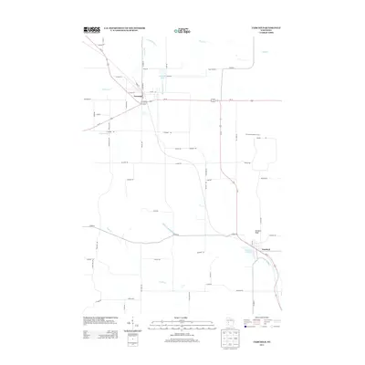 2013 Fairchild2013 Print · USGSFairchild and Humbird anchor this western Wisconsin landscape as it appeared in the early twenty-first century, linked by the corridor of US-10 and US-12. Genealogists and local historians can trace the rural road network surrounding Humbird Bluff and the Twin Mound Lookout Tower.
 - 2013 Map of Wildcat Mound, 2013 Print
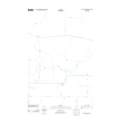 2013 Wildcat Mound2013 Print · USGSClark County, Wisconsin, is captured here in the early 2010s, showing a rural landscape defined by landmark hills and family-named roads. Trace the drainage of Fivemile Cr and Crooked Cr or locate family properties near Stuve Rd and Wildcat Mound.
 - 2015 Map of Wildcat Mound, 2015 Print
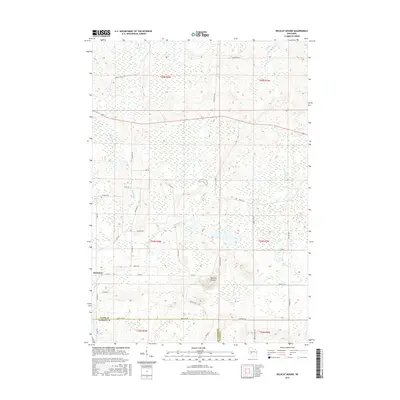 2015 Wildcat Mound2015 Print · USGSThe borderlands of Clark and Jackson Counties come into focus in the mid-2010s, revealing a landscape defined by wetlands and low ridges. Researchers can trace the layout of Humbird and locate family landmarks like Abbott Ranch Rd or the prominent Wildcat Mound.
 - 2015 Map of Simes Creek, 2015 Print
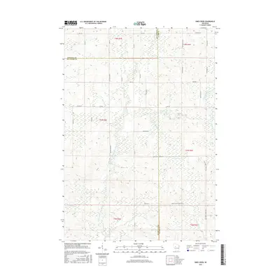 2015 Simes Creek2015 Print · USGSThis rural intersection of Chippewa and Eau Claire counties is mapped here in the mid-2010s. Researchers can trace the complex drainage of the N Fork Eau Claire River and Simes Creek Flowage near the Blue Swamp.
 - 2015 Map of Fairchild, 2015 Print
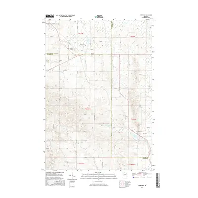 2015 Fairchild2015 Print · USGSWisconsin’s western borderlands between Eau Claire and Jackson counties come into focus in this recent survey. Researchers can trace local history through Cleveland Cem, find Humbird Bluff, or locate families along McGavery Cr and Halls Cr.
 - 2015 Map of Mead Lake West, 2015 Print
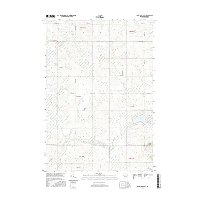 2015 Mead Lake West2015 Print · USGSWisconsin's central wetlands and river forks are captured here in the mid-2010s, showing a landscape defined by water and wood. Researchers can trace family sites at Butler Cem or examine the terrain around Mead Lake and the elevations of North Mound.
 - 2015 Map of Horse Creek, 2015 Print
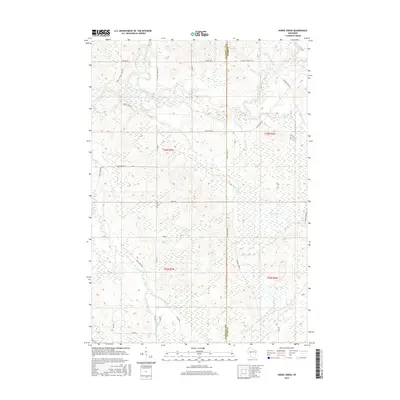 2015 Horse Creek2015 Print · USGSThe confluence of the north and south forks of the Eau Claire River defines this Wisconsin forest landscape during the mid-2010s. Researchers can trace historic access routes and water features like Koehler Ford Ln, the Iron Run Flowage, and Spruce Lake.
 - 2015 Map of Rock Dam Lake, 2015 Print
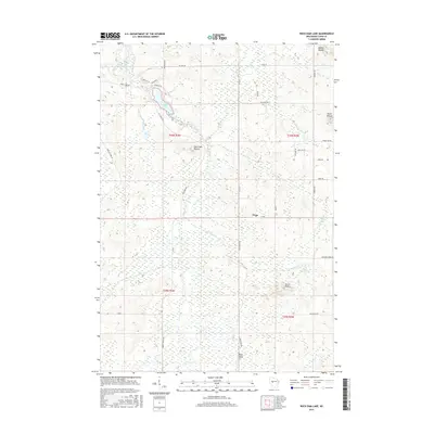 2015 Rock Dam Lake2015 Print · USGSClark County's rural landscape is captured here in the mid-2010s, centered on the waters of Rock Dam Lake. Researchers can trace the drainage of the South Fork Eau Claire River and locate landmarks like Bald Peak and the settlement of Tioga.
 - 2018 Map of Fairchild, 2018 Print
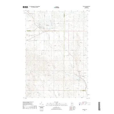 2018 Fairchild2018 Print · USGSFairchild and Humbird appear at the intersection of three Wisconsin counties during the late 2010s. Researchers can trace family history through the Cleveland Cem and Mentor Cem or follow the path of the Buffalo River State Trail.
 - 2018 Map of Rock Dam Lake, 2018 Print
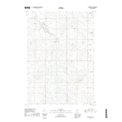 2018 Rock Dam Lake2018 Print · USGSClark County settlement and woodland topography are captured here in the late 2010s. Researchers can trace the rural network around Tioga, locating landmarks like Rock Dam Lake, the peaks at Seven Points, and local family-named routes such as KOEHLER FORD LN.
 - 2018 Map of Simes Creek, 2018 Print
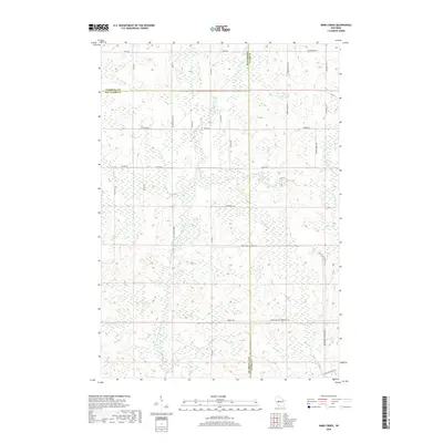 2018 Simes Creek2018 Print · USGSWisconsin's central timberlands are shown in detail as they appeared in 2018 at the meeting point of Chippewa, Clark, and Eau Claire counties. Researchers can trace the network of forest roads and creeks including Simes Creek Flowage, Billie Swamp, and Wolf River.
 - 2018 Map of Wildcat Mound, 2018 Print
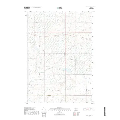 2018 Wildcat Mound2018 Print · USGSThe Clark and Jackson County borderlands are centered here in the late 2010s, where rural township roads crisscross a landscape of creeks and wetlands. Researchers can trace land use and local geography through family-named landmarks like Stuve Rd and the prominent elevation of Wildcat Mound.
 - 2018 Map of Horse Creek, 2018 Print
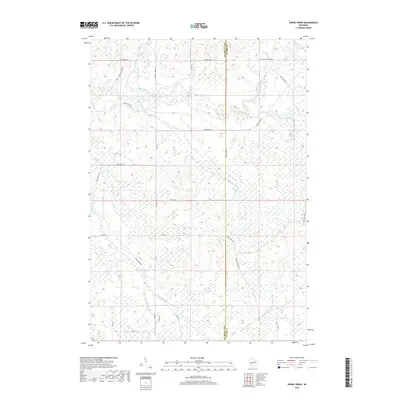 2018 Horse Creek2018 Print · USGSWisconsin’s river-fed borderlands appear in high detail at the close of the 2010s. Genealogists and local historians can trace the paths of Schoolhouse Cr and Black Creek or locate landmarks like Spruce Lake and Iron Run Flowage.
 - 2018 Map of Mead Lake West, 2018 Print
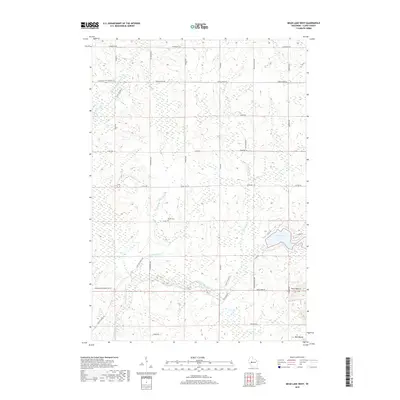 2018 Mead Lake West2018 Print · USGSClark County timber and farmland are captured here in the late 2010s, centered on the upper reaches of the Eau Claire River. Genealogists and local researchers can locate Butler Cem and trace the drainage of Blue Swamp near Mead Lake.
End of results
Showing maps 1-24 of 24
Top cities near Foster
- Edson historical maps
- Reseburg historical maps
- Longwood historical maps
- Northfield historical maps
- Merrillan historical maps
- Fairchild historical maps
Frequently asked questions
- What are the different types of historical maps available for Foster?
- What is the oldest map of Foster?
- Where can I purchase historical maps of Foster for my home or office?
- Where can I download high-res historical maps of Foster?
- Are there historical topographic maps available for Foster?
- Is there historical aerial imagery available for Foster?
- Where are historical maps of Foster sourced from?