Old Maps of Foster, Wisconsin for Genealogy
Trace your family roots with 43 historic maps of Foster. These high-res maps reveal old neighborhoods, homesites, landmarks, and streets — helping you uncover where your ancestors lived and how the area evolved over time.
- Explore historic neighborhoods: Identify where your relatives may have lived in the 1800s or 1900s.
- Compare maps over time: Trace the changes in streets, buildings, and landmarks for multi-generational research.
- Perfect for genealogy & ancestry research: Used by family historians and researchers to map out lineage and migration.
These maps are an incredible resource for exploring your personal connection to Foster's past.
Foster, WI maps
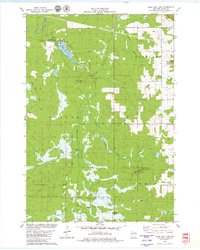
(43)- 1948 Map of Fairchild, 1966 Print
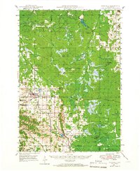 1948 Fairchild1966 Print · USGSWisconsin's West-Central borderlands emerge in this post-war study of the rail-centered towns of Fairchild and Humbird. You can trace the legacy of rural education and industry through numerous landmarks like Blackberry Sch, Wildcat Mound, and the Chicago and North Western rail line.2 unique versions available
 - 1949 Map of Fairchild
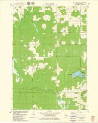
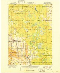 1949 Fairchild1949 Print · USGSThe rural borderlands of Eau Claire, Clark, and Jackson Counties appear here in the late 1940s, centered on the towns of Fairchild and Humbird. Researchers can locate numerous one-room schools like Lone Pine Sch, trace the Chicago and North Western rail line, or find local family sites at Cleveland Cem.
 - 1952 Map of Stanley, 1954 Print
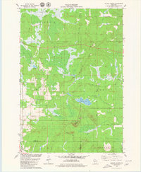
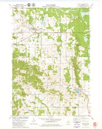
 1952 Stanley1954 Print · USGSStanley and Thorp anchor this central Wisconsin landscape in the early fifties as the rural schoolhouse system reaches its peak. Genealogists can locate family names at the Evergreen Cem or trace rural education at Busy Bee Sch and Sol Mohr Sch.
 - 1953 Map of Eau Claire, 1965 Print
 1953 Eau Claire1965 Print · USGSWest-central Wisconsin in the mid-fifties shows a landscape of river-valley industry and vast wildlife refuges during the transition from rails to modern highways. Genealogists and historians can trace the rail corridors of the Chicago and North Western or locate family-named landmarks like Decorah Mound and Chippewa Island.4 unique versions available
 - 1958 Map of Eau Claire
 1958 Eau Claire1958 Print · USGSWestern Wisconsin in the late fifties shows a landscape of growing regional hubs and massive wildlife refuges. Trace the rail lines of the Chicago and North Western between Eau Claire and Marshfield, or explore the terrain around Iron Mound and Lake Wissota.
 - 1964 Map of Eau Claire
 1964 Eau Claire1964 Print · USGSWest-central Wisconsin in the mid-1960s was a hub of river-driven industry and expanding rail networks. Researchers can trace historic homesteads near Menomonie, follow the Soo Line RR through Marshfield, or explore the grounds of the Camp McCoy Military Reservation.
 - 1979 Map of Horse Creek, 1980 Print
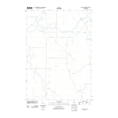
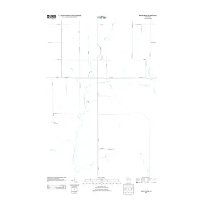
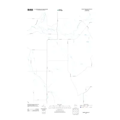
 1979 Horse Creek1980 Print · USGSEau Claire County's river valleys and township borders are captured here in the late seventies, showing a landscape of working timber and gravel lands. Genealogists can locate family lands near Koehler Ford, Schoolhouse Creek, and the Hamilton Falls area.
 - 1979 Map of Wildcat Mound, 1980 Print
 1979 Wildcat Mound1980 Print · USGSThe Clark and Jackson County borderlands in the late seventies are defined by distinctive peaks and a managed water system. Genealogists and local historians can trace rural family-named routes like Poertner Lane and Schulz Lane or locate the Cranberry Bog and Wildcat Mound.
 - 1979 Map of Rock Dam Lake, 1980 Print
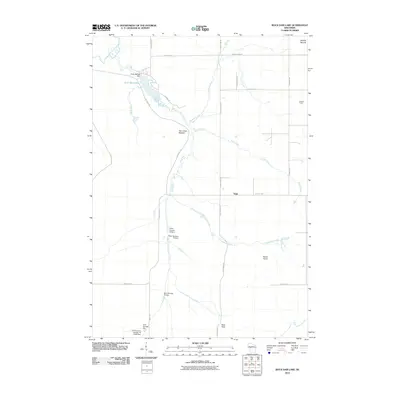
 1979 Rock Dam Lake1980 Print · USGSClark County's timber and river country is captured in the late seventies, showing a landscape defined by water control and forest management. Researchers can trace the path of the Old RR Grade near Tioga or locate rural landmarks like Abbott Ranch and Rock Dam County Park.
 - 1979 Map of Mead Lake West, 1980 Print
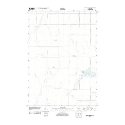
 1979 Mead Lake West1980 Print · USGSClark County in the late seventies is captured here at the junction of the Eau Claire River forks and the recreation waters of Mead Lake. Genealogists and local historians can locate Butler Cem, the Townhall, and family-named water features like Dickison Creek.
 - 1979 Map of Simes Creek, 1980 Print
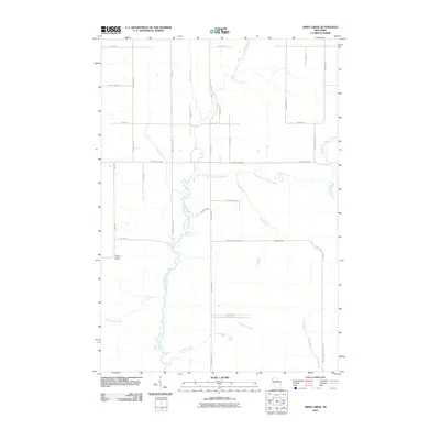
 1979 Simes Creek1980 Print · USGSThe borderlands of Eau Claire, Chippewa, and Clark counties are mapped here in the late seventies. Researchers can locate specific rural landmarks such as Hamilton Falls, the Wilson Lookout Tower, and the Pleasant Valley Ch.
 - 1979 Map of Fairchild, 1980 Print
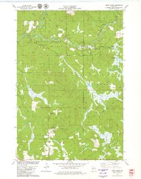
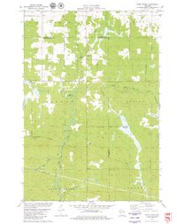
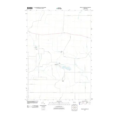
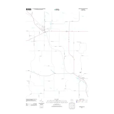
 1979 Fairchild1980 Print · USGSThe borderlands of Eau Claire and Jackson counties are captured here in the late seventies, showing a landscape defined by small villages and wooded ridges. Researchers can trace the CHICAGO AND NORTH WESTERN line through Fairchild and Humbird, locating rural sites like Cleveland Cem and St Joseph Ch.
 - 1984 Map of Marshfield, 1985 Print
 1984 Marshfield1985 Print · USGSCentral Wisconsin's dairy heartland comes into focus during the mid-eighties as a busy network of rail and farm towns. Researchers can trace the path of the Soo Line, identify the grounds of McMillan State Wildlife Area, and locate smaller settlements like Spokeville and Tioga.2 unique versions available
 - 2010 Map of Horse Creek, 2010 Print
 2010 Horse Creek2010 Print · USGSCovers Foster, including Bridge Creek, Fairchild, and other nearby areas
 - 2010 Map of Wildcat Mound, 2010 Print
 2010 Wildcat Mound2010 Print · USGSCovers Foster, including Mentor, Dewhurst, and other nearby areas
 - 2010 Map of Fairchild, 2010 Print
 2010 Fairchild2010 Print · USGSCovers Foster, including Fairchild, Mentor, and other nearby areas
 - 2010 Map of Mead Lake West, 2010 Print
 2010 Mead Lake West2010 Print · USGSCovers Foster, including Reseburg, Worden, and other nearby areas
 - 2010 Map of Simes Creek, 2010 Print
 2010 Simes Creek2010 Print · USGSCovers Foster, including Edson, Wilson, and other nearby areas
 - 2010 Map of Rock Dam Lake, 2010 Print
 2010 Rock Dam Lake2010 Print · USGSCovers Foster, including Seif, Hendren, and other nearby areas
 - 2013 Map of Rock Dam Lake, 2013 Print
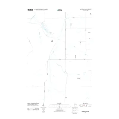 2013 Rock Dam Lake2013 Print · USGSCovers Foster, including Seif, Hendren, and other nearby areas
 - 2013 Map of Simes Creek, 2013 Print
 2013 Simes Creek2013 Print · USGSCovers Foster, including Edson, Wilson, and other nearby areas
 - 2013 Map of Horse Creek, 2013 Print
 2013 Horse Creek2013 Print · USGSCovers Foster, including Bridge Creek, Fairchild, and other nearby areas
 - 2013 Map of Mead Lake West, 2013 Print
 2013 Mead Lake West2013 Print · USGSCovers Foster, including Reseburg, Worden, and other nearby areas
 - 2013 Map of Fairchild, 2013 Print
 2013 Fairchild2013 Print · USGSCovers Foster, including Fairchild, Mentor, and other nearby areas
 - 2013 Map of Wildcat Mound, 2013 Print
 2013 Wildcat Mound2013 Print · USGSCovers Foster, including Mentor, Dewhurst, and other nearby areas
Showing maps 1-25 of 43
Top cities near Foster
- Edson historical maps
- Reseburg historical maps
- Longwood historical maps
- Northfield historical maps
- Merrillan historical maps
- Fairchild historical maps
Frequently asked questions
- What are the different types of historical maps available for Foster?
- What is the oldest map of Foster?
- Where can I purchase historical maps of Foster for my home or office?
- Where can I download high-res historical maps of Foster?
- Are there historical topographic maps available for Foster?
- Is there historical aerial imagery available for Foster?
- Where are historical maps of Foster sourced from?