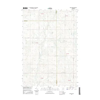
2015 Map of Simes Creek
USGS Topo · Published 2015About this map
The N Fork Eau Claire River and its numerous tributaries dominate this landscape at the intersection of Chippewa, Eau Claire, and Clark Counties. The terrain is defined by a dense network of waterways, including the winding Wolf River and Robinson Cr, which feed into the central Simes Creek Flowage. This 2015 U.S. Geological Survey representation highlights the transition between the agricultural township grids and the more wooded, swampy areas like the Blue Swamp to the east. The map detail reflects a remote rural environment where transportation is limited to a system of county highways and forest roads, such as Co Hwy G and Forest Rd 2. The presence of the Simes Creek Flowage Trl suggests the area's contemporary role as a space for managed water resources and local recreation within the larger Wisconsin river system.
Find a feature on this map
42 named features on this map. Tap any name to fly to it.
Don’t see what you’re looking for? This feature index may not catch every label — zoom into the map to look around manually.
Map Details
Editions of this 2015 Simes Creek Map
This is the sole edition of this map. No revisions or reprints were ever made.
Other maps of this area

1935 · Osseo
USGS Topo · 1:48,000

1940 · Osseo
USGS Topo · 1:62,500

1948 · Fairchild
USGS Topo · 1:62,500

1949 · Fairchild
USGS Topo · 1:62,500

1952 · Cadott
USGS Topo · 1:62,500

1952 · Stanley
USGS Topo · 1:62,500

1953 · Eau Claire
USGS Topo · 1:250,000

1958 · Eau Claire
USGS Topo · 1:250,000

1964 · Eau Claire
USGS Topo · 1:250,000
1968 · Osseo
USGS Topo · 1:62,500