Old Maps of Lodi, Wisconsin for Genealogy
Trace your family roots with 34 historic maps of Lodi. These high-res maps reveal old neighborhoods, homesites, landmarks, and streets — helping you uncover where your ancestors lived and how the area evolved over time.
- Explore historic neighborhoods: Identify where your relatives may have lived in the 1800s or 1900s.
- Compare maps over time: Trace the changes in streets, buildings, and landmarks for multi-generational research.
- Perfect for genealogy & ancestry research: Used by family historians and researchers to map out lineage and migration.
These maps are an incredible resource for exploring your personal connection to Lodi's past.
Lodi, WI maps
(34)- 1895 Map of Baraboo
 1895 Baraboo1895 Print · USGSSauk and Columbia counties meet along the winding river corridor during this late Victorian era of rail expansion and river commerce. Genealogists and local historians can trace old homesteads and rail stops through Merrimac, Okee, and Lodi while exploring the early footprints of Baraboo.9 unique versions available
 - 1901 Map of Poynette
 1901 Poynette1901 Print · USGSWisconsin's rural heartland comes into focus at the dawn of the twentieth century, anchored by the railway corridor and the winding river. Researchers can trace the early footprints of Poynette, Wyocena, and Dekorra alongside small junctions like Morrisonville and Arlington.3 unique versions available
 - 1908 Map of Baraboo
 1908 Baraboo1908 Print · USGSSauk and Columbia counties at the close of the nineteenth century reveal a landscape shaped by the Wisconsin River and early rail expansion. Trace the rail lines through Baraboo and Lodi, or locate old river landings near Merrimac and Sauk.
 - 1957 Map of Madison, 1967 Print
 1957 Madison1967 Print · USGSSouth-central Wisconsin in the mid-fifties reveals a landscape of industrial hubs and glacial lakes linked by a dense rail and highway network. Genealogists and historians can trace the development of lakeside communities and find notable sites like Badger Ordnance Works and the Horicon National Wildlife Refuge.3 unique versions available
 - 1959 Map of Baraboo, 1961 Print
 1959 Baraboo1961 Print · USGSThe Baraboo Range and the winding Wisconsin River meet in this late-fifties study of Sauk and Columbia counties. Researchers can locate rural landmarks like Man Mound, the massive Badger Ordnance Works, and the grounds of Devils Lake State Park.4 unique versions available
 - 1960 Map of Madison
 1960 Madison1960 Print · USGSCentral and Southern Wisconsin are captured in the late fifties, showing the region as its rail-and-river network matured. Trace the paths of the Soo Line RR or locate family roots near Lake Mendota and Horicon National Wildlife Refuge.2 unique versions available
 - 1962 Map of Poynette, 1964 Print
 1962 Poynette1964 Print · USGSIn the early sixties, the farming communities of Columbia and Dane Counties were evolving alongside the new interstate highway. Genealogists can locate family sites and rural landmarks like Hillside Cem, Leeds Center, and the Arlington Prairie Ch.2 unique versions available
 - 1974 Map of Baraboo SE, 1976 Print
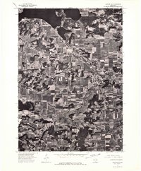 1974 Baraboo SE1976 Print · USGSThe river valley and surrounding farmsteads are captured in this mid-1970s aerial survey as the region balanced its rural roots with growing town centers. Researchers can trace the layout of Lodi and the shoreline of Lake Wisconsin during this era.
 - 1974 Map of Baraboo NE, 1976 Print
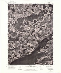 1974 Baraboo NE1976 Print · USGSThe Wisconsin River valley comes into sharp focus in the mid-seventies, showing the rural landscape of Columbia County through detailed aerial photography. Local historians can trace the shoreline of Lake Wisconsin and the path of the Wisconsin River through a patchwork of family farms and wooded bluffs.
 - 1975 Map of Lodi, 1978 Print
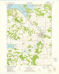 1975 Lodi1978 Print · USGSLodi and the surrounding glacial valley are captured in the mid-seventies, showing a landscape defined by the railroad and the widening Wisconsin River. Researchers can trace family-named homesteads along Reynolds Road or locate historic burial sites like St Patricks Cem and Garden Bluff Cem.
 - 1975 Map of Durwards Glen, 1978 Print
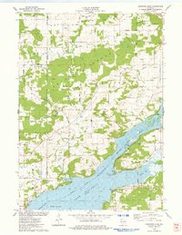 1975 Durwards Glen1978 Print · USGSColumbia County’s ridge-and-valley landscape is documented here in the mid-seventies, showing a mix of established family farms and riverfront growth. Genealogists can locate several historic burial grounds like St Johns Cem and Evangelical Cem alongside the Caledonia Sch.
 - 1984 Map of Arlington
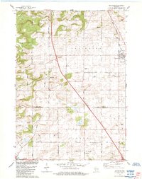 1984 Arlington1984 Print · USGSThe Wisconsin prairie at the border of Columbia and Dane Counties was a thriving rail and agricultural hub in the 1980s. Local researchers can trace family roots at Arlington Prairie Cem and 100 Mile Grove Cem or follow the historic Chicago and North Western rail line.
 - 1984 Map of Poynette
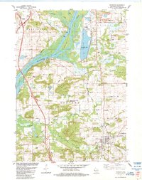 1984 Poynette1984 Print · USGSColumbia County in the mid-1980s shows a landscape of river bluffs and utility infrastructure along the winding Wisconsin River. Genealogists and local historians can locate old rural landmarks like Inch Ch, Schofield Cem, and the sprawling Poynette State Game Farm.2 unique versions available
 - 1991 Map of Madison
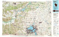 1991 Madison1991 Print · USGSMadison and its iconic glacial lakes are captured here during a time of steady urban expansion and regional growth. Researchers can trace the mid-century development of the University of Wisconsin, locate family sites near Forest Hill Cem, or explore the footprint of the Badger Army Ammunition Plant.
 - 2010 Map of Lodi, 2010 Print
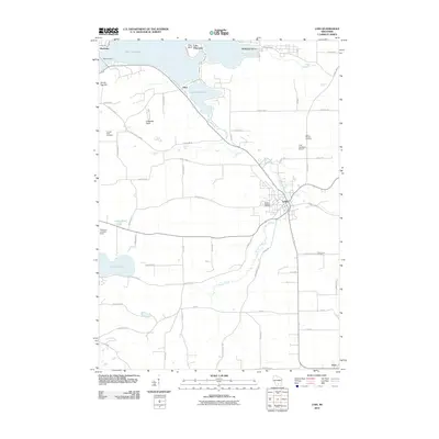 2010 Lodi2010 Print · USGSColumbia County at the start of the 2010s shows a landscape shaped by the waters of Lake Wisconsin and the valley of Spring Creek. Genealogists and local historians can trace family plots at Garden Bluff Cemetery or follow the historic route of the Merrimac Ferry.
 - 2010 Map of Arlington, 2010 Print
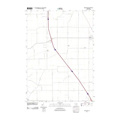 2010 Arlington2010 Print · USGSThe agricultural plains of south-central Wisconsin are captured here in the early twenty-first century as modern transit corridors intersect traditional farmsteads. Genealogists can trace family heritage through sites like Arlington Cemetery and Evangelical Cemetery or follow historic routes such as 100 Mile Grove Rd.
 - 2010 Map of Poynette, 2010 Print
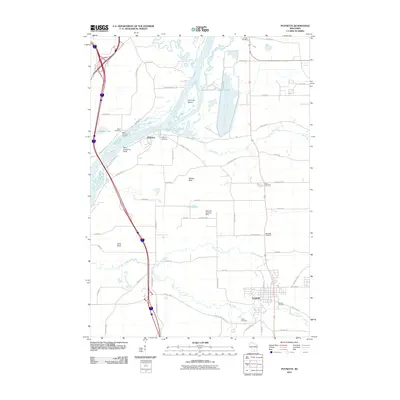 2010 Poynette2010 Print · USGSPoynette and the banks of the Wisconsin River are captured here in the early twenty-first century as the area balanced its deep pioneer roots with modern infrastructure. Local historians can trace numerous rural burial sites like Inch Cemetery and landmarks such as Whites Bluff and the Bancroft Landing Strip.
 - 2010 Map of Durwards Glen, 2010 Print
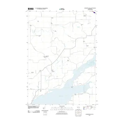 2010 Durwards Glen2010 Print · USGSColumbia County at the start of the 2010s shows a landscape where historic religious sites and the wide Wisconsin River converge. Researchers can trace numerous local burial sites like Indian Farm Cemetery and Saint Johns Cemetery alongside landmarks like Durwards Glen.
 - 2013 Map of Durwards Glen, 2013 Print
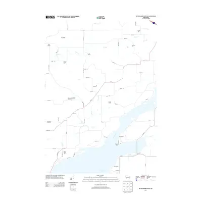 2013 Durwards Glen2013 Print · USGSColumbia County and the banks of the Wisconsin River are captured here in the early twenty-first century. Researchers can trace local landmarks like Durwards Glen and the American Ukranian Camp, or locate family sites along Konkel Mill Rd.
 - 2013 Map of Arlington, 2013 Print
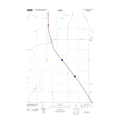 2013 Arlington2013 Print · USGSArlington and the surrounding Dane County countryside are captured here in the early twenty-first century as the village expanded near the intersection of major state highways. Researchers can trace local landmarks like Eberle Ranch Airport and family-named routes such as Smokey Hollow Rd and Bullen Rd.
 - 2013 Map of Lodi, 2013 Print
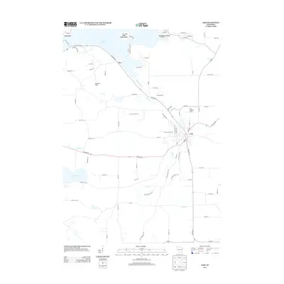 2013 Lodi2013 Print · USGSColumbia County in the early twenty-first century shows a landscape shaped by water and recreation around the city of Lodi. Researchers can trace the path of the Ice Age Natl Scenic Trl past landmarks like Gibraltar Rock and the Ferry Crossing at Merrimac.
 - 2013 Map of Poynette, 2013 Print
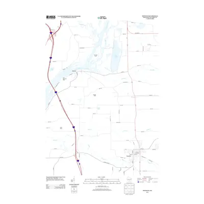 2013 Poynette2013 Print · USGSThe village of Poynette and the riverfront at Dekorra are captured in the early 2010s, showing the intersection of rural land and the Wisconsin River. Genealogists and local historians can trace family-named bluffs and roads, from Whites Bluff to Ziehmke Rd.
 - 2016 Map of Durwards Glen, 2016 Print
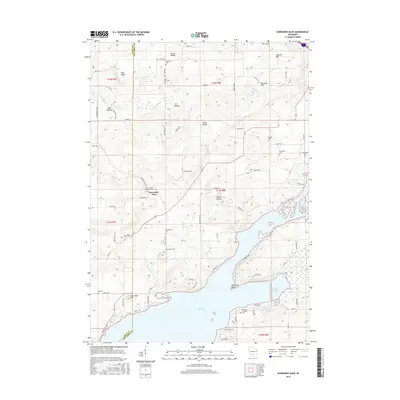 2016 Durwards Glen2016 Print · USGSColumbia and Sauk counties meet here along the shores of Lake Wisconsin and the winding Wisconsin River. Local historians can trace numerous rural burial grounds like Saint Johns Cem and McDonald Cem among the ridges of the South Range.
 - 2016 Map of Poynette, 2016 Print
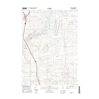 2016 Poynette2016 Print · USGSThe village of Poynette and the Wisconsin River valley are shown in this 2016 survey during a period of modern growth and recreation. Family historians can locate several local burial sites like Hillside Cem and Inch Cem near landmarks like Saint Lawrence Bluff.
 - 2016 Map of Lodi, 2016 Print
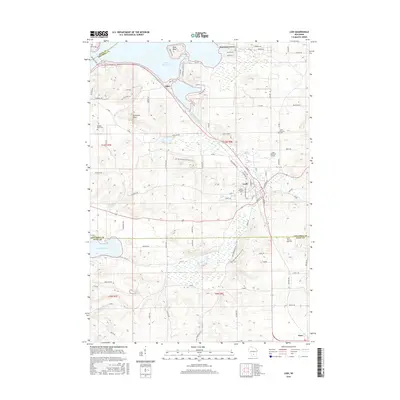 2016 Lodi2016 Print · USGSLodi and the shores of Lake Wisconsin are captured here in the mid-2010s, showing a blend of lakeside communities and valley farmland. Researchers can locate family sites at Mount Pleasant Cem or trace the route of the historic Merrimac Ferry.
Showing maps 1-25 of 34
Top cities near Lodi
- Madison historical maps
- Middleton historical maps
- Waunakee historical maps
- Baraboo historical maps
- DeForest historical maps
- Portage historical maps
See more
Top neighborhoods of Lodi
Frequently asked questions
- What are the different types of historical maps available for Lodi?
- What is the oldest map of Lodi?
- Where can I purchase historical maps of Lodi for my home or office?
- Where can I download high-res historical maps of Lodi?
- Are there historical topographic maps available for Lodi?
- Is there historical aerial imagery available for Lodi?
- Where are historical maps of Lodi sourced from?