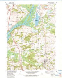
1984 Map of Poynette
USGS Topo · Published 1984About this map
The Wisconsin River defines the western landscape of this mid-1980s Columbia County study, where the waters of Columbia Lake sit adjacent to a prominent powerplant. This industrial presence contrasts with the conservation-focused Poynette State Game Farm to the south. The area is characterized by a mix of glacial terrain features like Cascade Mountain and the water-cut banks of St Lawrence Bluff and Whites Bluff.
Find a feature on this map
57 named features on this map. Tap any name to fly to it.
Don’t see what you’re looking for? This feature index may not catch every label — zoom into the map to look around manually.
Map Details
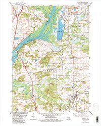
Editions of this 1984 Poynette Map
2 editions found
Other maps of this area

1895 · Baraboo
USGS Topo · 1:62,500

1901 · Poynette
USGS Topo · 1:62,500

1902 · Portage
USGS Topo · 1:62,500

1902 · Briggsville
USGS Topo · 1:62,500

1908 · Baraboo
USGS Topo · 1:62,500

1957 · Madison
USGS Topo · 1:250,000

1958 · Briggsville
USGS Topo · 1:62,500

1959 · Baraboo
USGS Topo · 1:62,500

1960 · Madison
USGS Topo · 1:250,000

1962 · Poynette
USGS Topo · 1:62,500