
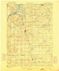
1901 Map of Poynette
USGS Topo · Published 1901About this map
Poynette serves as a central hub in this turn-of-the-century portrait of Columbia and Dane counties, situated where the Chicago Milwaukee and St. Paul R. R. (Madison Portage Line) bisects the landscape. The western edge is defined by the broad curves of the Wisconsin River near Dekorra, while the surrounding prairie is dotted with small agricultural settlements like Arlington, Leeds, and North Leeds.
Find a feature on this map
34 named features on this map. Tap any name to fly to it.
Don’t see what you’re looking for? This feature index may not catch every label — zoom into the map to look around manually.
Map Details
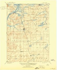
Editions of this 1901 Poynette Map
3 editions found
Other maps of this area

1890 · Madison
USGS Topo · 1:62,500

1890 · Sun Prairie
USGS Topo · 1:62,500

1892 · Madison
USGS Topo · 1:62,500

1895 · Baraboo
USGS Topo · 1:62,500

1896 · Sun Prairie
USGS Topo · 1:62,500

1902 · Portage
USGS Topo · 1:62,500

1902 · Briggsville
USGS Topo · 1:62,500

1904 · Madison
USGS Topo · 1:62,500

1905 · Sun Prairie
USGS Topo · 1:62,500

1906 · Madison
USGS Topo · 1:62,500