2000s (21st Century) Maps of Amnicon, Wisconsin
Explore 25 historic maps of Amnicon from the 2000s (21st Century). These maps offer a rare glimpse into what life looked like during the 2000s — showing old roads, neighborhoods, homes, and landmarks that have changed or disappeared over time.
Whether you're researching your family's past, planning a metal detecting trip, or studying how Amnicon's landscape evolved across the 2000s, these high-resolution maps are a powerful tool for exploring the history of this region.
- Focus on a specific era: All maps on this page are from the 2000s, giving you a focused view of this time period.
- See what’s changed: Compare century-old streets, trails, and buildings to today's modern landscape using overlays and satellite layers.
- Research with precision: Use these maps for genealogy, historical research, land use analysis, or educational projects.
- View, download, or print: Maps are fully viewable online in high resolution, and can be downloaded or printed for your own records.
Start exploring Amnicon's history through authentic maps from the 2000s. This is your window into the past.
Amnicon, WI maps
(25)- 2010 Map of Poplar NE, 2010 Print
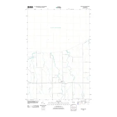 2010 Poplar NE2010 Print · USGSCoastal Douglas County meets the southern shore of the Great Lakes in the early twenty-first century, showing a landscape defined by its many river systems. Researchers can trace local lineage near Lakeside Cemetery or follow the paths of the Amnicon River and Middle River.
 - 2010 Map of Poplar, 2010 Print
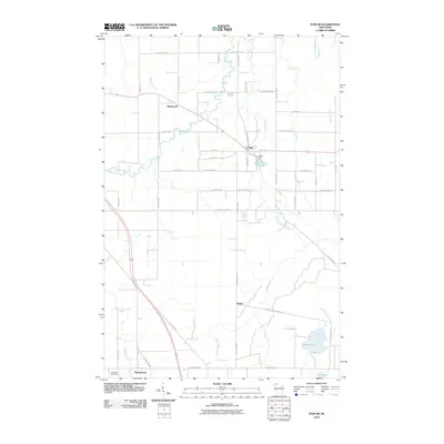 2010 Poplar2010 Print · USGSPoplar and its neighboring rural settlements are captured here in the early twenty-first century as the landscape remains defined by its northern rivers. Researchers can locate family landmarks such as Poplar Cemetery, the Poplar Dam, and the small community of Dobie.
 - 2010 Map of Lake Nebagamon, 2010 Print
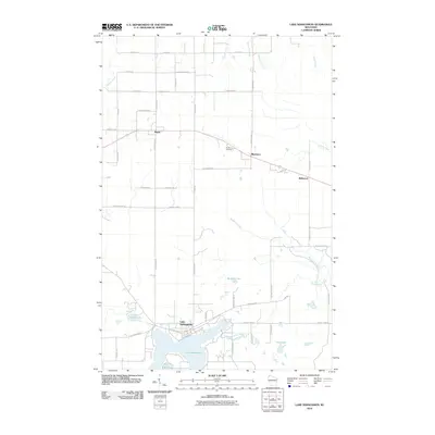 2010 Lake Nebagamon2010 Print · USGSDouglas County’s lakeside and timber landscapes are captured here during the first decade of the new millennium. Researchers can trace family sites near Lake Nebagamon, locate the Blueberry Cemetery, or explore the small communities of Maple and Bellwood.
 - 2010 Map of South Range, 2010 Print
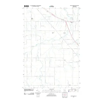 2010 South Range2010 Print · USGSDouglas County’s rural crossroads and river valleys are captured here in the early twenty-first century. Researchers can locate early settlements like Rockmont and Hines or trace the winding course of the Amnicon River through Amnicon Falls State Park.
 - 2010 Map of Parkland, 2010 Print
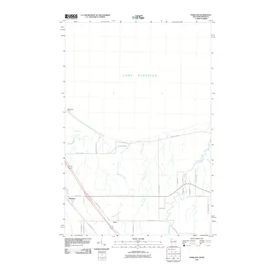 2010 Parkland2010 Print · USGSThe Lake Superior coast and Douglas County interior are detailed here during the early twenty-first century. Researchers can trace local development around Parkland and Cutter or examine the shoreline near Wisconsin Point and Allouez Bay.
 - 2013 Map of Lake Nebagamon, 2013 Print
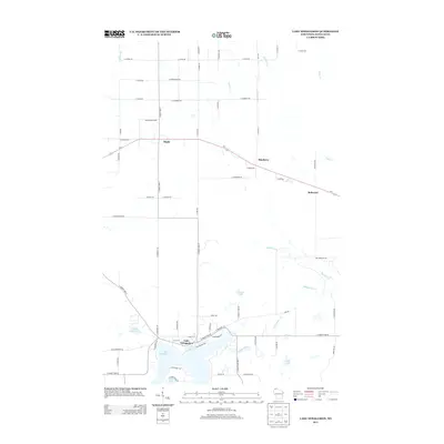 2013 Lake Nebagamon2013 Print · USGSDouglas County’s timber and lake country is captured here during the early twenty-first century, centered on the community at Lake Nebagamon. Researchers can trace the rural road network and identify family-named landmarks near Maple, Blueberry, and Minnow Lake.
 - 2013 Map of South Range, 2013 Print
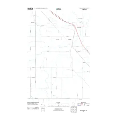 2013 South Range2013 Print · USGSDouglas County south of Superior is shown in detail during the early 2010s as it transitions from timberlands to rural residential clusters. Researchers can trace the layout of communities like Rockmont and Hines or locate landmarks like the Flannagan Lookout Tower.
 - 2013 Map of Poplar NE, 2013 Print
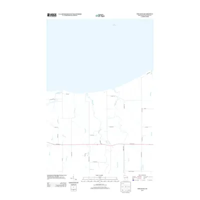 2013 Poplar NE2013 Print · USGSLake Superior's south shore and the rural drainage of Douglas County are recorded here in the early 2010s. Genealogists and local historians can trace the paths of the Amnicon River and Poplar River past family-named routes like S Peterson Rd and E Erickson Rd.
 - 2013 Map of Poplar, 2013 Print
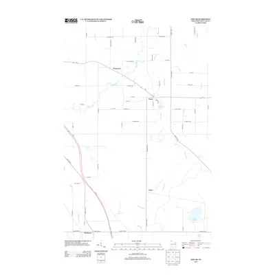 2013 Poplar2013 Print · USGSNorthwestern Wisconsin at the start of the 2010s shows a landscape of river valleys and small settlements connected by a growing highway network. Genealogists and local historians can trace the roads around Poplar, Wentworth, and Hawthorne, alongside natural landmarks like Steele Lake and the Middle River.
 - 2013 Map of Parkland, 2013 Print
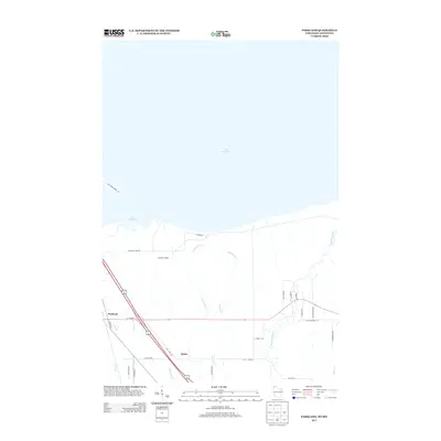 2013 Parkland2013 Print · USGSThe southern shores of Lake Superior and the rural communities of Douglas County are documented here in the early twenty-first century. Genealogists and local historians can trace family-named routes and small settlements like Parkland and Cutter near the Amnicon River.
 - 2015 Map of Poplar, 2015 Print
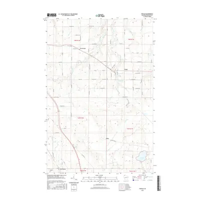 2015 Poplar2015 Print · USGSNorthwestern Wisconsin at the turn of the twenty-first century reveals a landscape defined by its river valleys and quiet settlements. Genealogists can trace family connections along Moonshine Rd and find established sites like Wentworth, Dobie, and the Poplar River.
 - 2015 Map of Lake Nebagamon, 2015 Print
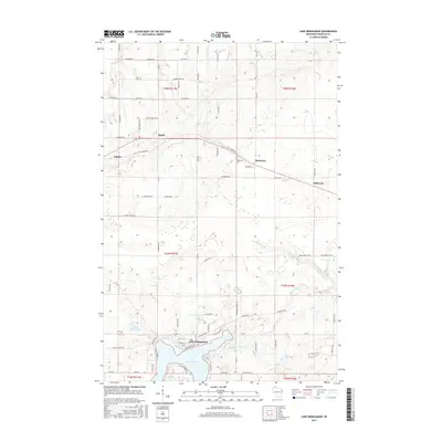 2015 Lake Nebagamon2015 Print · USGSUpper Douglas County is captured here in the mid-2010s, showing the residential and recreational landscape around the village of Lake Nebagamon. Researchers can trace old family road names and rural sites like Blueberry Cemetery or the Tri Co Corridor path.
 - 2015 Map of South Range, 2015 Print
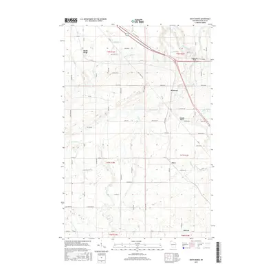 2015 South Range2015 Print · USGSDouglas County’s river valleys and old rail routes are captured here in the mid-2010s. Researchers can trace the Tri Co Corridor trail through Amnicon Falls and locate small communities like Middle River and Hines.
 - 2015 Map of Poplar NE, 2015 Print
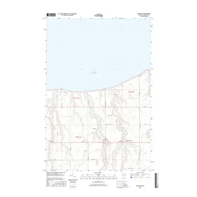 2015 Poplar NE2015 Print · USGSThe Lake Superior shoreline and the rural drainages of Douglas County are captured in this mid-2010s survey. Genealogists and local historians can trace family land via Lakeside Cem and a road network including Engdahl Rd and Joki Rd.
 - 2015 Map of Parkland, 2015 Print
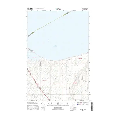 2015 Parkland2015 Print · USGSCoastal Douglas County comes into focus as the long sand spit of Wisconsin Point protects the inner harbor. Genealogists and local historians can trace the rural landscape around Parkland and Cutter and follow the banks of the Amnicon River.
 - 2018 Map of Parkland, 2018 Print
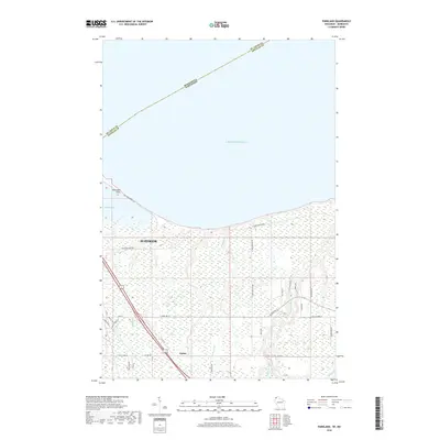 2018 Parkland2018 Print · USGSThe shoreline of Douglas County meets the Great Lakes in the late 2010s, showing the eastern edge of the port city. Genealogists and locals can trace the road networks around Cutter or follow the coast to Wisconsin Point and Allouez Bay.
 - 2018 Map of Poplar NE, 2018 Print
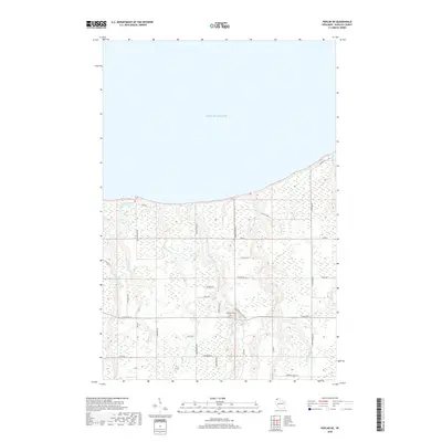 2018 Poplar NE2018 Print · USGSCoastal Douglas County meets the southern shore of Lake Superior in this recent study of the rural landscape. Researchers can trace family-named routes and landmarks like Lakeside Cem, Poplar River, and Kaarto Rd.
 - 2018 Map of South Range, 2018 Print
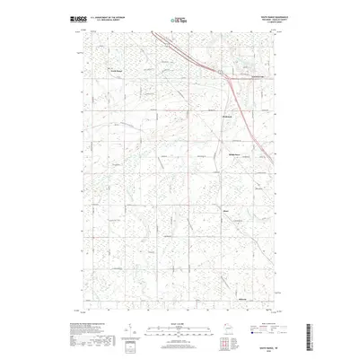 2018 South Range2018 Print · USGSNorth of the Amnicon state lands, this 2018 survey captures the rural character of Douglas County. Genealogists and historians can trace the paths of the Wild Rivers State Trail and the Tri Co Corridor through South Range, Middle River, and Hines.
 - 2018 Map of Lake Nebagamon, 2018 Print
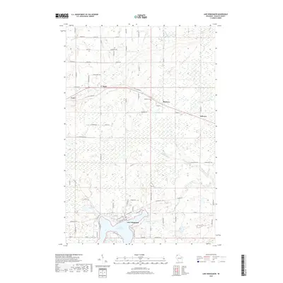 2018 Lake Nebagamon2018 Print · USGSThe village of Lake Nebagamon and its neighboring communities are shown here in the late 2010s. Researchers can trace rural cemetery locations like Blueberry Cem and the route of the Tri-Co Corridor through Maple and Poplar.
 - 2018 Map of Poplar, 2018 Print
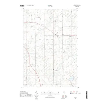 2018 Poplar2018 Print · USGSNorthwestern Wisconsin’s Douglas County is captured here in the late 2010s, showing a landscape of river-fed wetlands and quiet rural crossroads. Researchers can trace the heritage of Wentworth, Dobie, and Hawthorne, or locate the Parkview Cem and Steele Lake.
 - 2022 Map of Poplar, 2022 Print
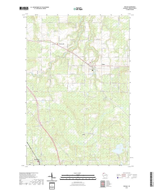 2022 Poplar2022 Print · USGSNorthwestern Wisconsin at the start of the 2020s shows a landscape of rural settlements and winding river systems. Genealogists and historians can trace family locations near Poplar, Wentworth, and Poplar Cem, or explore the course of the Tri Co Corridor.
 - 2022 Map of Poplar NE, 2022 Print
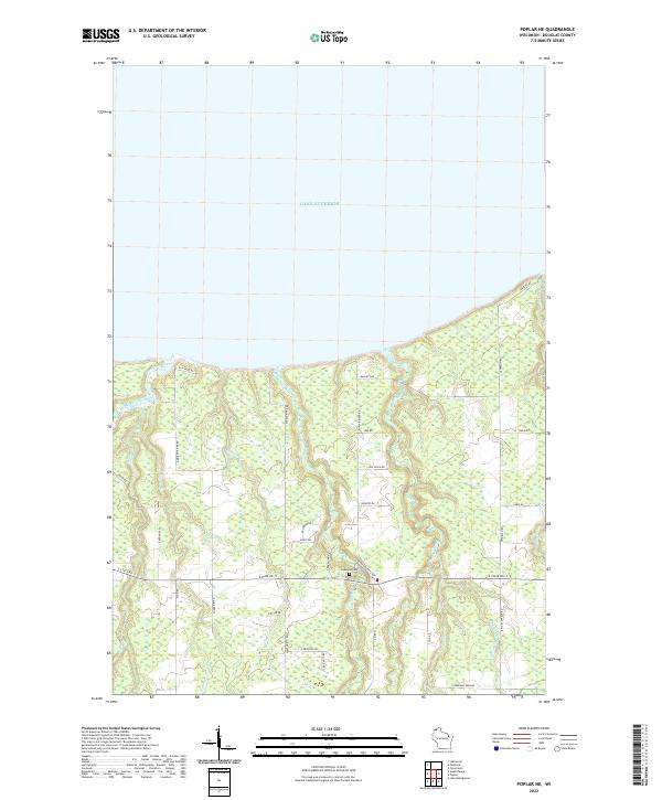 2022 Poplar NE2022 Print · USGSCoastal Douglas County meets the southern shore of Lake Superior in this modern survey of northern Wisconsin. Researchers can trace rural lineages through family-named routes and landmarks like Lakeside Cem, Kaarto Rd, and the Poplar River.
 - 2022 Map of South Range, 2022 Print
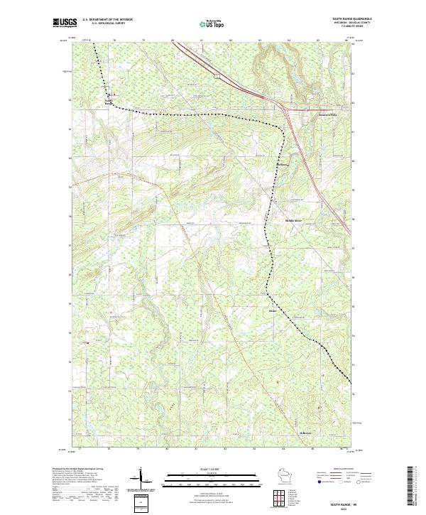 2022 South Range2022 Print · USGSNorthwestern Wisconsin’s rural landscape comes alive in this survey of the river valleys and rail-trail corridors south of Superior. Genealogists and local researchers can trace family lands near South Range, Amnicon Falls, and the Little Amnicon River.
 - 2022 Map of Parkland, 2022 Print
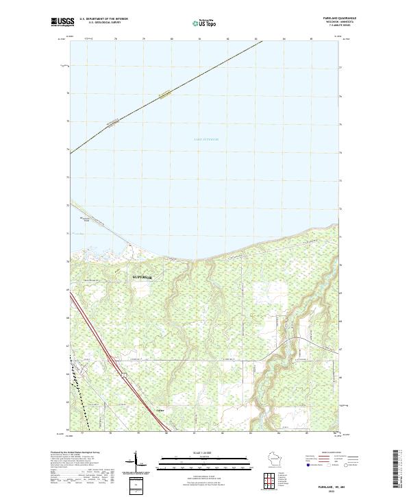 2022 Parkland2022 Print · USGSThe Lake Superior shoreline near Superior, Wisconsin, comes to life in this contemporary mapping of the region's unique coastal geography. Researchers can trace the narrow Wisconsin Point peninsula or explore the drainage of the Amnicon River and the rural settlement of Cutter.
 - 2022 Map of Lake Nebagamon, 2022 Print
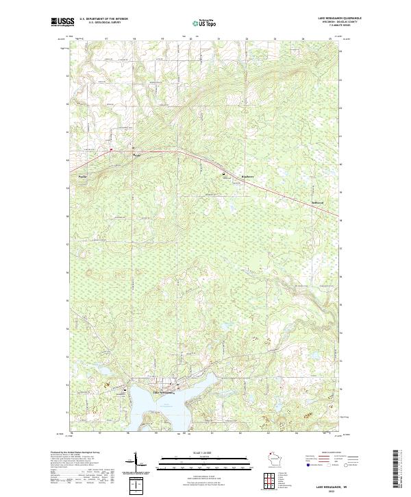 2022 Lake Nebagamon2022 Print · USGSDouglas County’s lake country and northern settlements are detailed here in the early twenty-first century. Researchers can trace family-named roads and burial sites like Saint Anns Cem, or explore the geography of Lake Nebagamon and the Tri-Co Corridor.
End of results
Showing maps 1-25 of 25
Top cities near Amnicon
- Duluth historical maps
- Superior historical maps
- Parkland historical maps
- Hawthorne historical maps
- Lake Nebagamon historical maps
- Gordon historical maps
See more
Top neighborhoods of Amnicon
Frequently asked questions
- What are the different types of historical maps available for Amnicon?
- What is the oldest map of Amnicon?
- Where can I purchase historical maps of Amnicon for my home or office?
- Where can I download high-res historical maps of Amnicon?
- Are there historical topographic maps available for Amnicon?
- Is there historical aerial imagery available for Amnicon?
- Where are historical maps of Amnicon sourced from?