Old Maps of Wilson, Wisconsin for Academic Research
Study the evolution of Wilson with 29 high-resolution historic maps. Whether you're teaching, researching, or modeling changes in land use, these maps provide essential visual documentation of urban, environmental, and geographic change.
- Analyze long-term change: Track patterns in development, transportation, and natural features.
- Ideal for environmental or urban studies: Support academic projects with primary historical map data.
- Use in the classroom or lab: Educators and researchers rely on these maps to bring historical context to life.
These maps are a powerful tool for teaching, research, and visualizing how Wilson has changed over the decades.
Wilson, WI maps
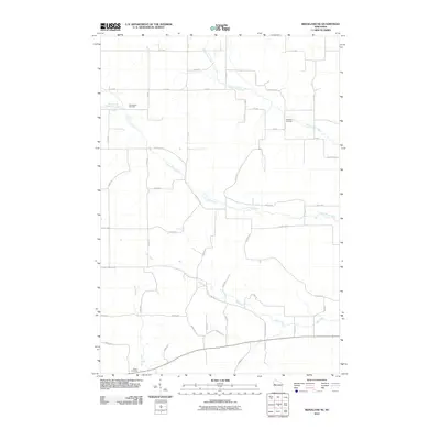
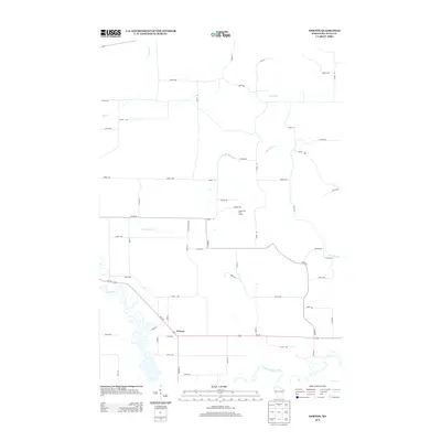
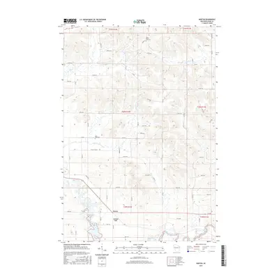
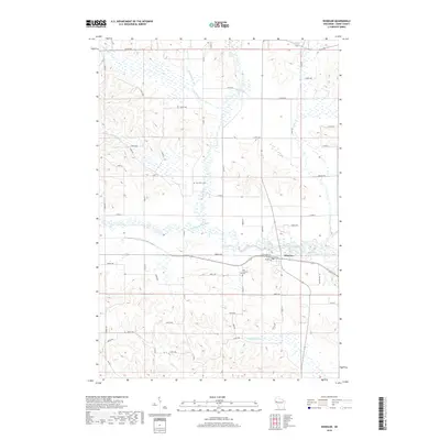
(29)- 1949 Map of Ridgeland, 1970 Print
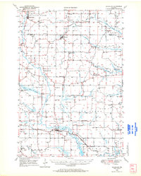 1949 Ridgeland1970 Print · USGSThe rural borderlands of Barron and Dunn counties are captured here in the late 1940s, when small-town rail hubs and country schoolhouses still dotted the landscape. Researchers can trace family roots through numerous sites like Evergreen Cem, Vanceburg, and Parkman Sch.
 - 1951 Map of Ridgeland
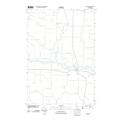
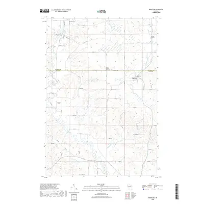
 1951 Ridgeland1951 Print · USGSDunn and Barron counties thrive as a network of small-town centers and rural school districts during the early fifties. Genealogists can trace family roots through numerous sites like Lutheran Cem, Zion Ch, and the Little Beaver Sch.
 - 1953 Map of Rice Lake, 1967 Print
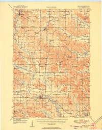
 1953 Rice Lake1967 Print · USGSNorthwest Wisconsin during the mid-fifties reveals a landscape defined by timber, rail, and water. Genealogists and historians can trace the development of river towns like Ladysmith and Rice Lake along the Soo Line and Chicago and North Western railroads.2 unique versions available
 - 1959 Map of Rice Lake
 1959 Rice Lake1959 Print · USGSNorthwest Wisconsin in the late fifties was a land of expanding road networks and deep-seated timber history. Genealogists and historians can trace rail lines like the Soo Line RR and Chicago St Paul Minneapolis and Omaha Ry as they link settlements from Spooner to Medford.
 - 1975 Map of Norton, 1978 Print
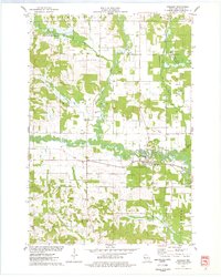
 1975 Norton1978 Print · USGSDunn County’s rural landscape is captured here in the mid-seventies, showing the agricultural heart of the region before modern expansion. Researchers can trace the Soo Line railroad and locate historical sites like Norton Ch and the Upper Popple Creek Cem.
 - 1975 Map of Ridgeland NE, 1978 Print
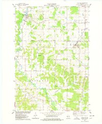
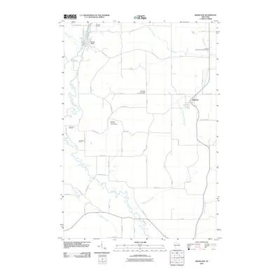
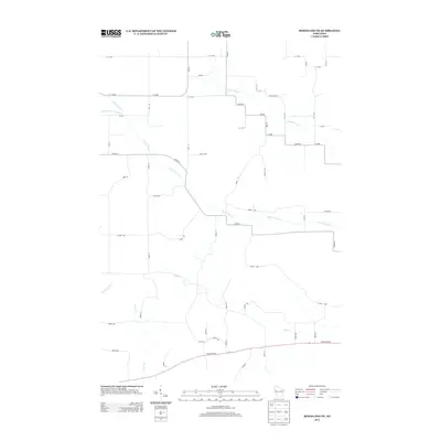
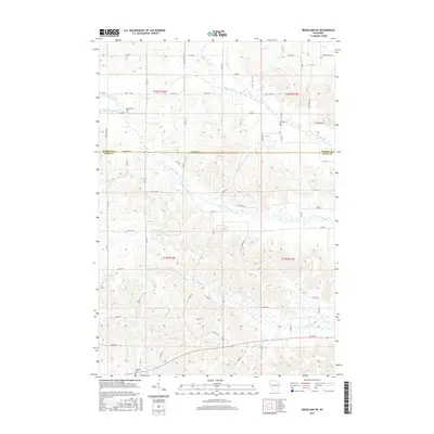
 1975 Ridgeland NE1978 Print · USGSNorthern Dunn County was a landscape of creek valleys and country schools in the mid-seventies. Genealogists and historians can trace family-named sites like Massie Road, old burials at Tollebu Cem, and the path of an Old RR Grade.
 - 1975 Map of Wheeler, 1978 Print
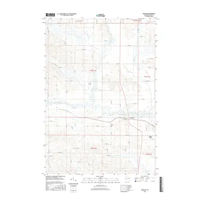
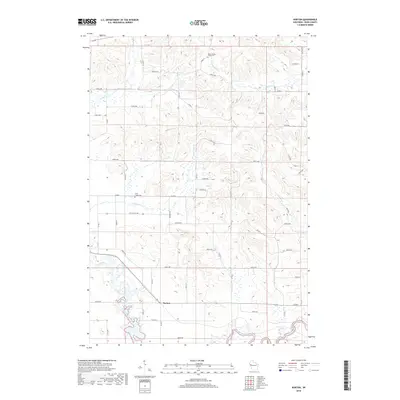
 1975 Wheeler1978 Print · USGSDunn County life in the mid-seventies centers on the confluence of the Hay River and the Soo Line railroad. Researchers can trace rural landmarks like Hay River Cem, the Church of the Nazarene, and the small settlement of Dewey.
 - 1975 Map of Ridgeland, 1978 Print
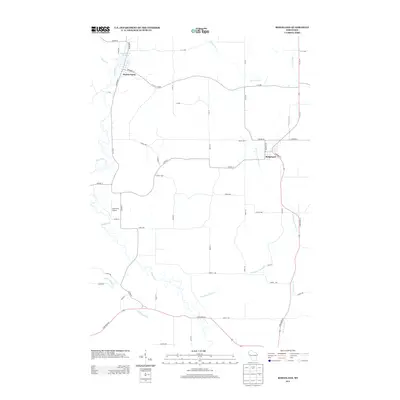
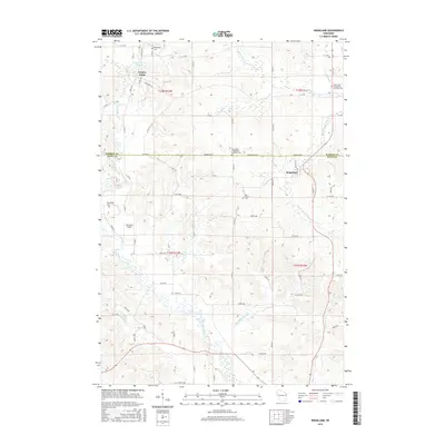
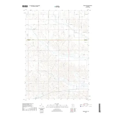
 1975 Ridgeland1978 Print · USGSThe rural border of Barron and Dunn Counties is captured here in the mid-seventies, showing the agricultural and water-powered roots of the region. Researchers can trace family sites near Evergreen Cem, the Old RR Grade, or the Harmon Brothers Landing Strip.
 - 1980 Map of Bloomer
 1980 Bloomer1980 Print · USGSNorthwestern Wisconsin at the start of the eighties shows a landscape deeply connected to its rivers and rail lines. Genealogists and historians can trace the growth of Bloomer, Ladysmith, and Chetek or locate local landmarks like Brunet Island State Park and the Soo Line rail corridors.
 - 2010 Map of Ridgeland NE, 2010 Print
 2010 Ridgeland NE2010 Print · USGSCovers Wilson, including Sand Creek, Dallas, and other nearby areas
 - 2010 Map of Wheeler, 2010 Print
 2010 Wheeler2010 Print · USGSCovers Wilson, including Tainter, Wheeler, and other nearby areas
 - 2010 Map of Ridgeland, 2010 Print
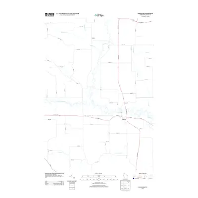
 2010 Ridgeland2010 Print · USGSCovers Wilson, including Prairie Farm, Ridgeland, and other nearby areas
 - 2010 Map of Norton, 2010 Print
 2010 Norton2010 Print · USGSCovers Wilson, including Tainter, Sand Creek, and other nearby areas
 - 2013 Map of Norton, 2013 Print
 2013 Norton2013 Print · USGSCovers Wilson, including Tainter, Sand Creek, and other nearby areas
 - 2013 Map of Ridgeland NE, 2013 Print
 2013 Ridgeland NE2013 Print · USGSCovers Wilson, including Sand Creek, Dallas, and other nearby areas
 - 2013 Map of Ridgeland, 2013 Print
 2013 Ridgeland2013 Print · USGSCovers Wilson, including Prairie Farm, Ridgeland, and other nearby areas
 - 2013 Map of Wheeler, 2013 Print
 2013 Wheeler2013 Print · USGSCovers Wilson, including Tainter, Wheeler, and other nearby areas
 - 2015 Map of Norton, 2015 Print
 2015 Norton2015 Print · USGSCovers Wilson, including Tainter, Sand Creek, and other nearby areas
 - 2015 Map of Ridgeland NE, 2015 Print
 2015 Ridgeland NE2015 Print · USGSCovers Wilson, including Sand Creek, Dallas, and other nearby areas
 - 2015 Map of Wheeler, 2015 Print
 2015 Wheeler2015 Print · USGSCovers Wilson, including Tainter, Wheeler, and other nearby areas
 - 2015 Map of Ridgeland, 2015 Print
 2015 Ridgeland2015 Print · USGSCovers Wilson, including Prairie Farm, Ridgeland, and other nearby areas
 - 2018 Map of Wheeler, 2018 Print
 2018 Wheeler2018 Print · USGSCovers Wilson, including Tainter, Wheeler, and other nearby areas
 - 2018 Map of Ridgeland, 2018 Print
 2018 Ridgeland2018 Print · USGSCovers Wilson, including Prairie Farm, Ridgeland, and other nearby areas
 - 2018 Map of Ridgeland NE, 2018 Print
 2018 Ridgeland NE2018 Print · USGSCovers Wilson, including Sand Creek, Dallas, and other nearby areas
 - 2018 Map of Norton, 2018 Print
 2018 Norton2018 Print · USGSCovers Wilson, including Tainter, Sand Creek, and other nearby areas
Showing maps 1-25 of 29
Top cities near Wilson
- Barron historical maps
- Chetek historical maps
- Town of Tainter historical maps
- Tainter historical maps
- Cameron historical maps
- Red Cedar historical maps
See more
Frequently asked questions
- What are the different types of historical maps available for Wilson?
- What is the oldest map of Wilson?
- Where can I purchase historical maps of Wilson for my home or office?
- Where can I download high-res historical maps of Wilson?
- Are there historical topographic maps available for Wilson?
- Is there historical aerial imagery available for Wilson?
- Where are historical maps of Wilson sourced from?