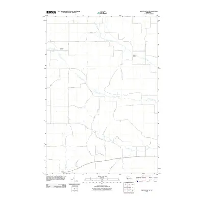
2010 Map of Ridgeland NE
USGS Topo · Published 2010About this map
Greenwood Cemetery, Evergreen Cemetery, and Tollebu Cemetery mark the landscape of this rural Wisconsin agricultural area, providing significant points of interest for local genealogy and history. The terrain is defined by a dendritic drainage pattern where the Upper Pine Creek and Lower Pine Creek join, alongside the South Fork Lower Pine Creek. A rigid grid of township roads, including 1st Ave, 14th St, and 810th St, segments the farm fields and woodlots. These roads, together with regional connectors like County Hwy U and County Hwy Rd W, trace the established settlement patterns of northwestern Wisconsin in the early twenty-first century. The presence of these creeks, including Hay Creek and Otter Creek, suggests a well-watered valley system that has historically supported the region's dairy and farming traditions.
Find a feature on this map
49 named features on this map. Tap any name to fly to it.
Don’t see what you’re looking for? This feature index may not catch every label — zoom into the map to look around manually.
Map Details
Editions of this 2010 Ridgeland NE Map
This is the sole edition of this map. No revisions or reprints were ever made.
Other maps of this area

1949 · New Auburn
USGS Topo · 1:62,500

1949 · Ridgeland
USGS Topo · 1:62,500

1951 · Ridgeland
USGS Topo · 1:62,500

1951 · New Auburn
USGS Topo · 1:62,500

1951 · Chetek
USGS Topo · 1:62,500

1951 · Barron
USGS Topo · 1:62,500

1953 · Rice Lake
USGS Topo · 1:250,000

1959 · Rice Lake
USGS Topo · 1:250,000
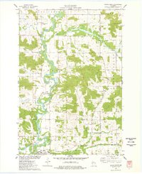
1975 · Colfax North
USGS Topo · 1:24,000
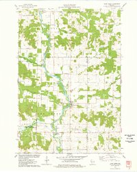
1975 · Sand Creek
USGS Topo · 1:24,000