Old Maps of Wyoming, Wisconsin for Metal Detecting
Plan your next treasure hunt with 31 historic maps of Wyoming. Find old homesites, ghost towns, trails, and gathering spots that may be lost to time — perfect for identifying promising metal detecting locations.
- Locate forgotten sites: Uncover places like long-lost settlements, abandoned rail lines, or gathering spots.
- Plan better hunts: Use map overlays combined with LiDAR or satellite views to narrow in on historically rich areas.
- Made for detectorists: Thousands of hobbyists use these maps to discover relics, coins, and hidden history.
Use these historic maps to boost your research and find new opportunities beneath the surface of Wyoming.
Wyoming, WI maps
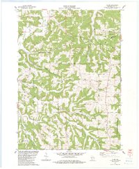
(31)- 1905 Map of Richland Center
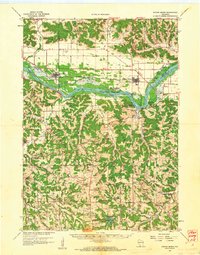
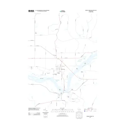
 1905 Richland Center1905 Print · USGSRichland and Sauk Counties at the turn of the century show a landscape defined by the winding Wisconsin River and early rail expansion. Genealogists and historians can trace the foundations of local commerce through early post offices like Beach P.O. and rail hubs at Lone Rock and Richland Center.2 unique versions available
 - 1958 Map of La Crosse, 1979 Print
 1958 La Crosse1979 Print · USGSThe Driftless Area of Wisconsin and Iowa is captured here during the late seventies, showing the intricate river valleys and ridge-top settlements. Genealogists and historians can trace the rail corridors of the Soo Line or locate landmarks like Grandad Bluff and Effigy Mounds National Monument.2 unique versions available
 - 1960 Map of Spring Green, 1962 Print
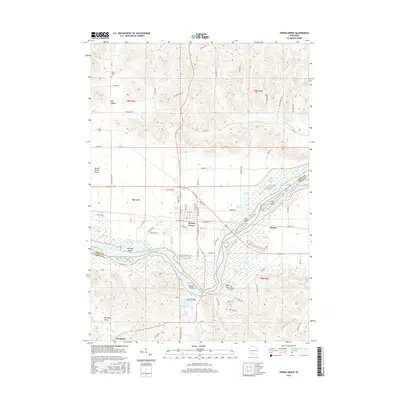
 1960 Spring Green1962 Print · USGSThe Wisconsin River valley and surrounding Driftless Area uplands are captured here in the early sixties. Researchers can trace rural lineages through numerous country landmarks like Unity Chapel, Gold Mine Sch, and the quiet crossroads at Clyde.2 unique versions available
 - 1961 Map of La Crosse
 1961 La Crosse1961 Print · USGSThe Driftless Area at the start of the 1960s reveals a complex network of river towns and rail lines along the Mississippi River. Genealogists and historians can trace old settlements like New Amsterdam and Wyattville or locate major landmarks like Camp McCoy Military Reservation and Effigy Mounds National Monument.
 - 1965 Map of La Crosse
 1965 La Crosse1965 Print · USGSThe Driftless Area and the Upper Mississippi valley are captured here during a period of steady mid-century growth. Researchers can trace the rail lines of the Chicago and North Western or locate riverfront sites like Effigy Mounds National Monument and the Camp McCoy Military Reservation.
 - 1976 Map of La Crosse
 1976 La Crosse1976 Print · USGSThe Driftless Area and Mississippi River valley are captured here in the mid-seventies, showing a landscape of deep coulees and river commerce. Genealogists can trace family footprints from La Crosse to smaller hamlets like Newburg Corners and Witoka.
 - 1983 Map of Pleasant Ridge
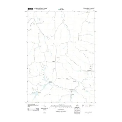
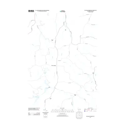
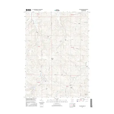
 1983 Pleasant Ridge1983 Print · USGSIowa County is shown in the early eighties as a landscape of ridges and valleys transitioning into the recreation lands of the state park. Researchers can trace rural lineages through local landmarks like Rockwell Mills, Wyoming Sch, and the Griffith Cem.
 - 1983 Map of Lone Rock
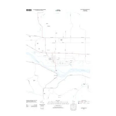
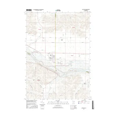
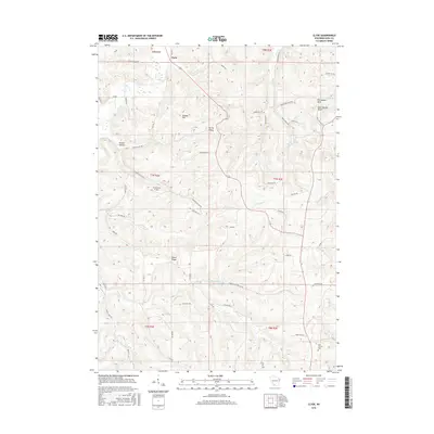
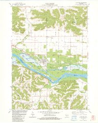 1983 Lone Rock1983 Print · USGSRichland County's riverfront and the bluffs of the Driftless Area are captured here in the early eighties. Researchers can trace the rail lines of the Chicago Milwaukee St Paul and Pacific or locate rural sites like Dixon Sch and Lone Rock Cem.
 - 1983 Map of Spring Green
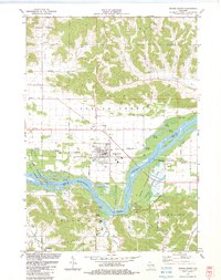 1983 Spring Green1983 Print · USGSThe Wisconsin River valley in the early eighties shows a landscape defined by braided waterways and cultural landmarks. Genealogists can locate family sites like Old Helena Cem and Big Hollow Cem, or trace the grounds of Taliesin and Hillside Sch.
 - 1983 Map of Clyde
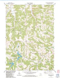
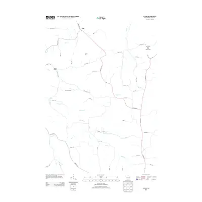
 1983 Clyde1983 Print · USGSThe Driftless Area of Iowa County in the early eighties is a landscape of high ridges and deep hollows where rural life centered on valley roads and upland farms. Genealogists can locate family landmarks like St Malachy Ch, Dunbar Hill, and the secluded Norwegian Hollow.
 - 1985 Map of Richland Center, 1991 Print
 1985 Richland Center1991 Print · USGSSouthwest Wisconsin’s driftless landscape in the mid-1980s is defined by its deep river valleys and tight agricultural settlements. Researchers can trace family-named landmarks like Mickelson Ridge or find remote churches and schools near Richland Center and Dodgeville.
 - 2010 Map of Clyde, 2010 Print
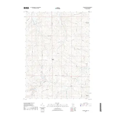
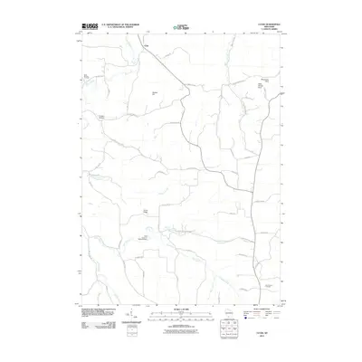 2010 Clyde2010 Print · USGSCovers Wyoming, including Clyde, Blue Grass, and other nearby areas
 - 2010 Map of Lone Rock, 2010 Print
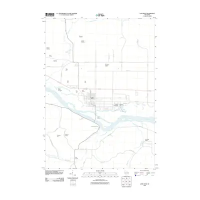 2010 Lone Rock2010 Print · USGSCovers Wyoming, including Lone Rock, Clyde, and other nearby areas
 - 2010 Map of Spring Green, 2010 Print
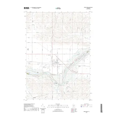
 2010 Spring Green2010 Print · USGSCovers Wyoming, including Spring Green, Arena, and other nearby areas
 - 2010 Map of Pleasant Ridge, 2010 Print
 2010 Pleasant Ridge2010 Print · USGSCovers Wyoming, including Ridgeway, Pleasant Ridge, and other nearby areas
 - 2013 Map of Clyde, 2013 Print
 2013 Clyde2013 Print · USGSCovers Wyoming, including Clyde, Blue Grass, and other nearby areas
 - 2013 Map of Lone Rock, 2013 Print
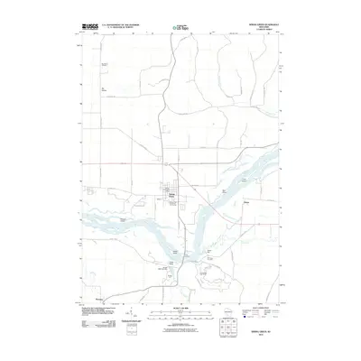
 2013 Lone Rock2013 Print · USGSCovers Wyoming, including Lone Rock, Clyde, and other nearby areas
 - 2013 Map of Pleasant Ridge, 2013 Print
 2013 Pleasant Ridge2013 Print · USGSCovers Wyoming, including Ridgeway, Pleasant Ridge, and other nearby areas
 - 2013 Map of Spring Green, 2013 Print
 2013 Spring Green2013 Print · USGSCovers Wyoming, including Spring Green, Arena, and other nearby areas
 - 2016 Map of Pleasant Ridge, 2016 Print
 2016 Pleasant Ridge2016 Print · USGSCovers Wyoming, including Ridgeway, Pleasant Ridge, and other nearby areas
 - 2016 Map of Lone Rock, 2016 Print
 2016 Lone Rock2016 Print · USGSCovers Wyoming, including Lone Rock, Clyde, and other nearby areas
 - 2016 Map of Spring Green, 2016 Print
 2016 Spring Green2016 Print · USGSCovers Wyoming, including Spring Green, Arena, and other nearby areas
 - 2016 Map of Clyde, 2016 Print
 2016 Clyde2016 Print · USGSCovers Wyoming, including Clyde, Blue Grass, and other nearby areas
 - 2018 Map of Spring Green, 2018 Print
 2018 Spring Green2018 Print · USGSCovers Wyoming, including Spring Green, Arena, and other nearby areas
 - 2018 Map of Pleasant Ridge, 2018 Print
 2018 Pleasant Ridge2018 Print · USGSCovers Wyoming, including Ridgeway, Pleasant Ridge, and other nearby areas
Showing maps 1-25 of 31
Top cities near Wyoming
- Dodgeville historical maps
- Spring Green historical maps
- Barneveld historical maps
- Lone Rock historical maps
- Arena historical maps
- Plain historical maps
See more
Frequently asked questions
- What are the different types of historical maps available for Wyoming?
- What is the oldest map of Wyoming?
- Where can I purchase historical maps of Wyoming for my home or office?
- Where can I download high-res historical maps of Wyoming?
- Are there historical topographic maps available for Wyoming?
- Is there historical aerial imagery available for Wyoming?
- Where are historical maps of Wyoming sourced from?