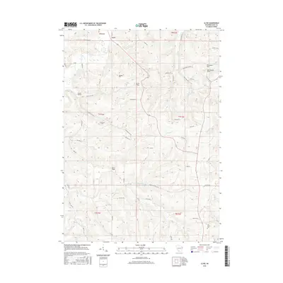
2016 Map of Clyde
USGS Topo · Published 2016About this map
Clyde sits at the northern edge of this landscape where the terrain begins to ripple into the steep ridges and narrow valleys characteristic of Iowa County. The settlement patterns here follow the natural drainage of Otter Cr and Dickinson Cr, with homesteads and agriculture concentrated along the valley floors and higher ground like Union Ridge. This modern topographic study reveals a deeply etched geography where ancient geological formations like Percussion Rock and Deer Shelter Rock remain prominent landmarks.
Find a feature on this map
61 named features on this map. Tap any name to fly to it.
Don’t see what you’re looking for? This feature index may not catch every label — zoom into the map to look around manually.
Map Details
Editions of this 2016 Clyde Map
This is the sole edition of this map. No revisions or reprints were ever made.
Other maps of this area

1902 · Mineral Point
USGS Topo · 1:125,000

1905 · Richland Center
USGS Topo · 1:125,000

1952 · Dodgeville
USGS Topo · 1:24,000

1952 · Linden
USGS Topo · 1:24,000

1958 · La Crosse
USGS Topo · 1:250,000

1959 · Dubuque
USGS Topo · 1:250,000

1960 · Muscoda
USGS Topo · 1:62,500

1960 · Spring Green
USGS Topo · 1:62,500

1961 · Dubuque
USGS Topo · 1:250,000

1961 · La Crosse
USGS Topo · 1:250,000